Far Thorpe
Settlement in Lincolnshire East Lindsey
England
Far Thorpe
Far Thorpe is a small village located in the East Lindsey district of Lincolnshire, England. Situated just 6 miles northeast of the market town of Horncastle, it is nestled amidst the scenic Lincolnshire Wolds, an Area of Outstanding Natural Beauty.
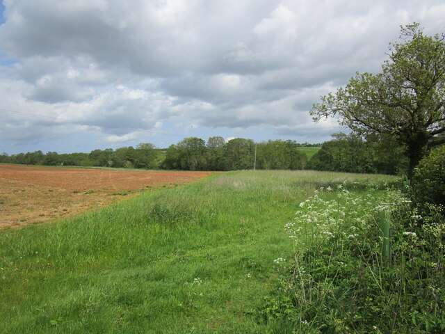
With a population of around 200 residents, Far Thorpe exudes a peaceful and idyllic charm. The village is predominantly residential, featuring a mix of traditional cottages and more modern houses. The surrounding countryside offers breathtaking views, with rolling hills, meandering streams, and picturesque farmland.
Despite its small size, Far Thorpe is not without its amenities. The village is home to a quaint village hall, which serves as a social hub for the community. Additionally, a nearby farm shop provides locals with access to fresh produce and other essentials.
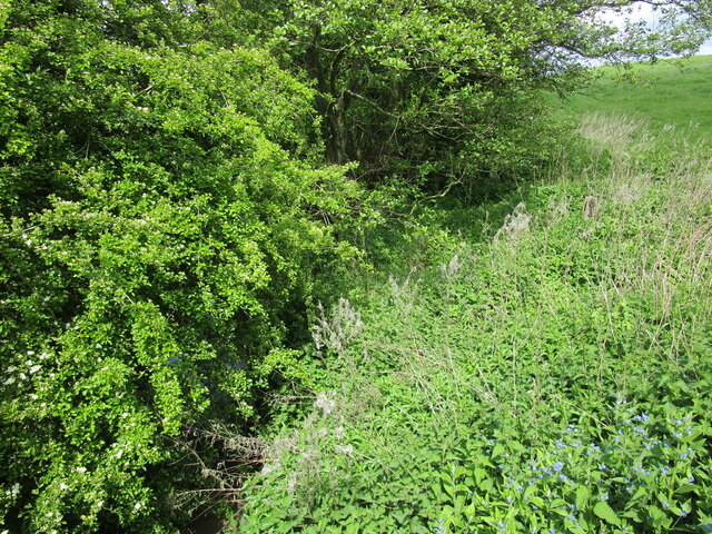
For outdoor enthusiasts, Far Thorpe offers ample opportunities for exploration and recreation. The surrounding countryside is crisscrossed by a network of footpaths and bridleways, perfect for leisurely walks or horse riding. The village is also within easy reach of several nature reserves, such as Snipe Dales Country Park and Willow Tree Fen, where visitors can observe a variety of wildlife in their natural habitat.
Although Far Thorpe may be tucked away in the Lincolnshire countryside, its proximity to nearby towns and its natural beauty make it an attractive place to live for those seeking a peaceful rural lifestyle.
If you have any feedback on the listing, please let us know in the comments section below.
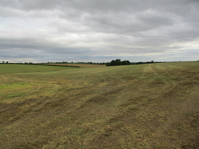
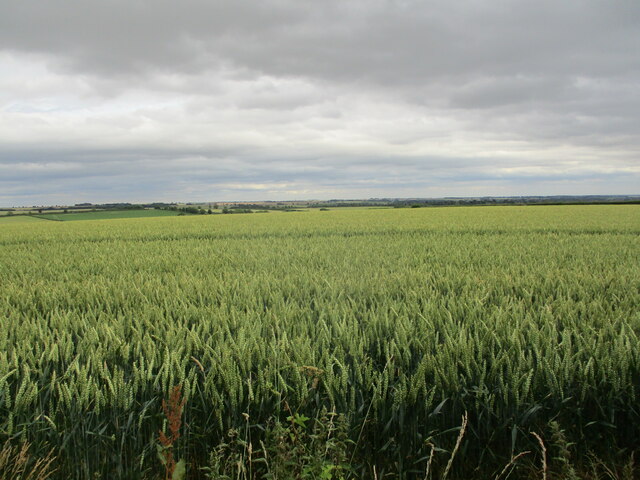
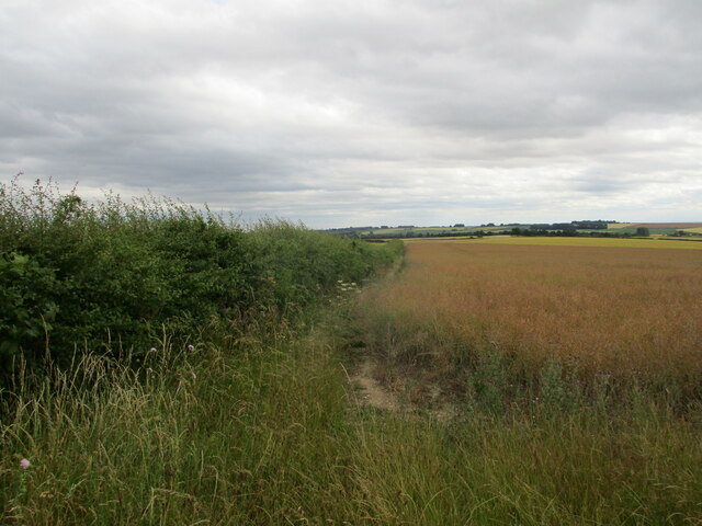
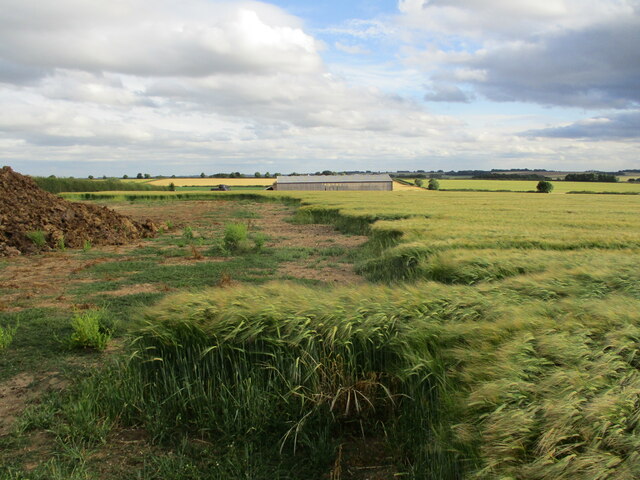
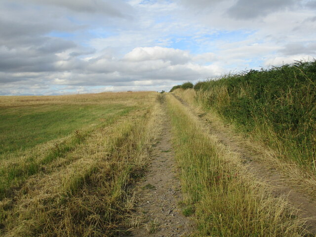
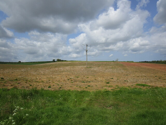
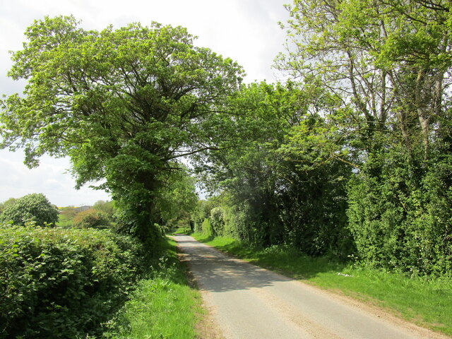
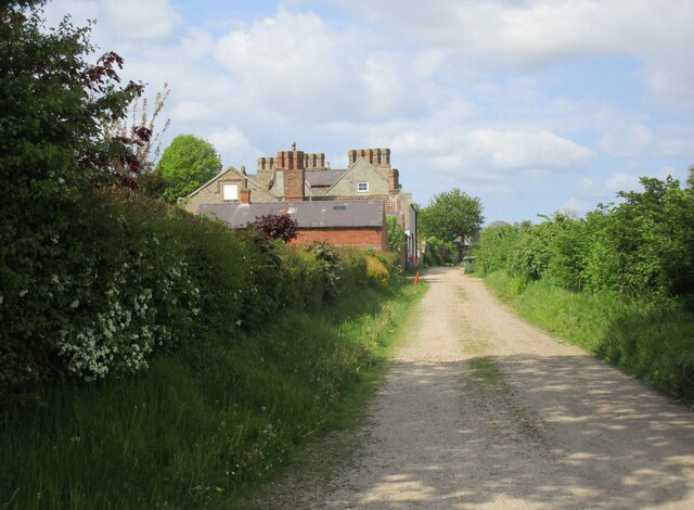
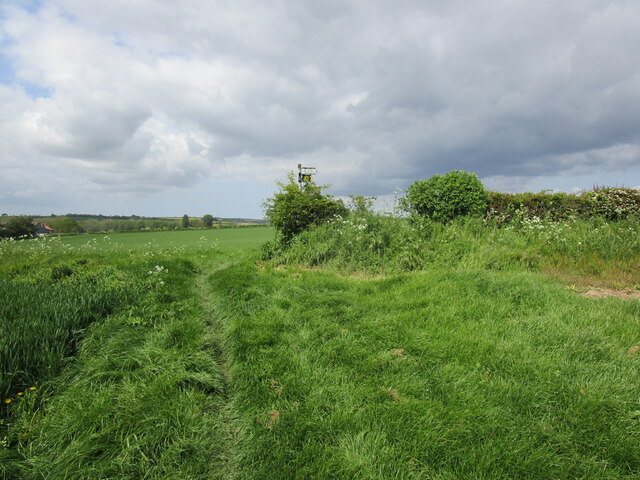
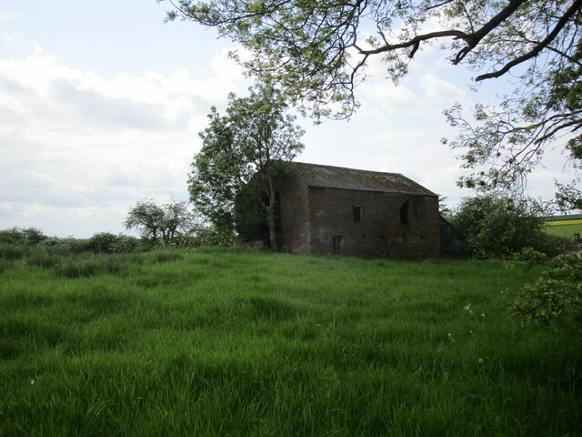
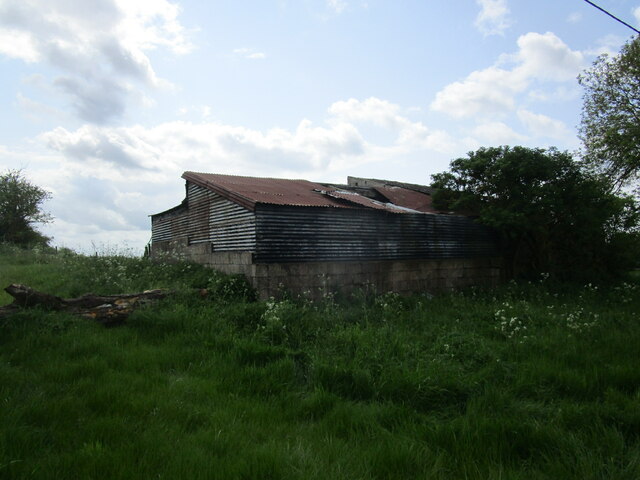
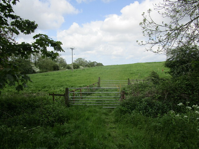
Far Thorpe Images
Images are sourced within 2km of 53.247846/-0.10242573 or Grid Reference TF2673. Thanks to Geograph Open Source API. All images are credited.
Far Thorpe is located at Grid Ref: TF2673 (Lat: 53.247846, Lng: -0.10242573)
Division: Parts of Lindsey
Administrative County: Lincolnshire
District: East Lindsey
Police Authority: Lincolnshire
What 3 Words
///schematic.steadily.launcher. Near Horncastle, Lincolnshire
Nearby Locations
Related Wikis

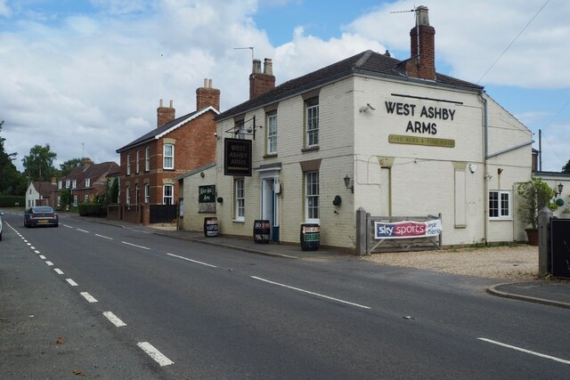
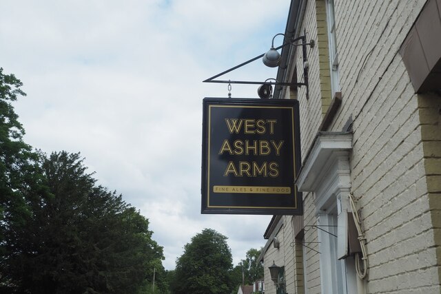
West Ashby
West Ashby is a village and civil parish in the East Lindsey district of Lincolnshire, England. It is situated on the Horncastle to Louth A153 road, and...

Hemingby
Hemingby is a dispersed village and civil parish in the East Lindsey district of Lincolnshire, England. It is situated approximately 3 miles (5 km) north...

Belchford
Belchford is a village and civil parish in the East Lindsey district of Lincolnshire, England. The village is situated approximately 4 miles (6 km) north...

Fulletby
Fulletby is a village and a civil parish in the East Lindsey district of Lincolnshire, England. It is in the Lincolnshire Wolds, and 3 miles (5 km) north...

Low Toynton
Low Toynton is a hamlet and civil parish in the East Lindsey district of Lincolnshire, England. The population of the civil parish (including Fulletby...

Juicetrump Hill
Juicetrump Hill is a hill around half a mile north of Belchford and 4.5 miles north-east of Horncastle in Lincolnshire, UK within the Lincolnshire Wolds...

East Lindsey
East Lindsey is a local government district in Lincolnshire, England. Its council is based in Horncastle and the largest town is Skegness. Other towns...
Edlington, Lincolnshire
Edlington is a village in the parish of Edlington with Wispington, in East Lindsey Lincolnshire, England. It is situated 2 miles (3.2 km) north-west of...
Nearby Amenities
Located within 500m of 53.247846,-0.10242573Have you been to Far Thorpe?
Leave your review of Far Thorpe below (or comments, questions and feedback).