Mid Thorpe
Settlement in Lincolnshire East Lindsey
England
Mid Thorpe
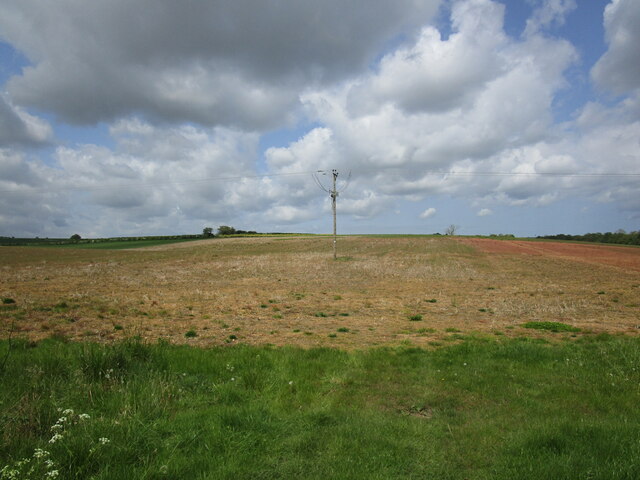
Mid Thorpe is a small village located in the county of Lincolnshire, England. Situated approximately 5 miles north of the town of Louth, it falls within the East Lindsey district. The village is nestled in the beautiful Lincolnshire Wolds, an Area of Outstanding Natural Beauty.
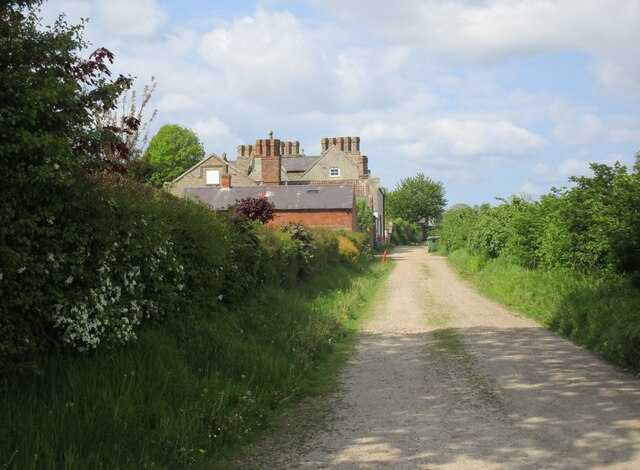
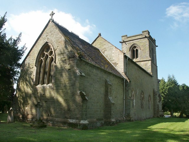
With a population of around 200 residents, Mid Thorpe exudes a peaceful and rural atmosphere. The village is characterized by its charming cottages, many of which date back to the 18th and 19th centuries, giving it a timeless appeal. The village church, St. Lawrence's, is a notable landmark and serves as a focal point for the community.
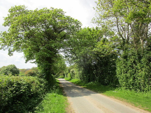
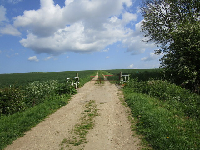
Despite its small size, Mid Thorpe boasts a strong sense of community spirit, with various social and recreational activities organized throughout the year. Residents can enjoy countryside walks, cycling routes, and horse riding in the surrounding area, taking full advantage of the picturesque landscape.
Although Mid Thorpe does not have its own shops or amenities, it benefits from its proximity to nearby towns and villages, such as Louth, which offer a range of services including shops, schools, and healthcare facilities.
For those seeking a tranquil and idyllic setting, Mid Thorpe offers a quintessentially English village experience. Its location in the heart of the Lincolnshire Wolds provides residents with access to stunning natural beauty, while its close-knit community fosters a strong sense of belonging.
If you have any feedback on the listing, please let us know in the comments section below.
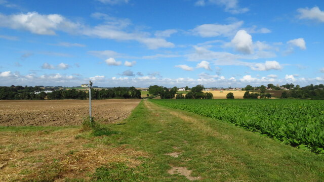
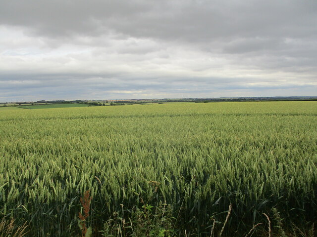
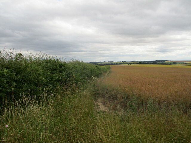
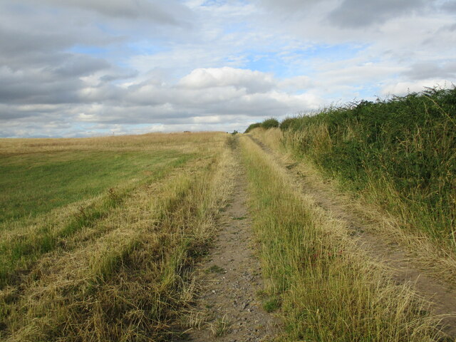
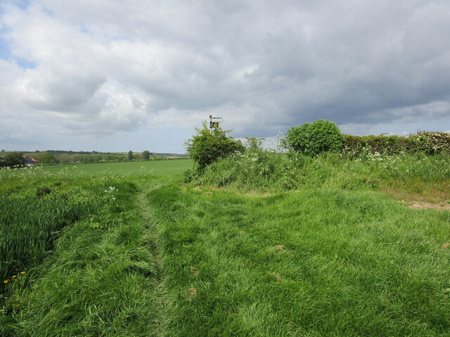
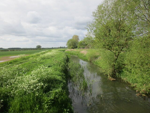
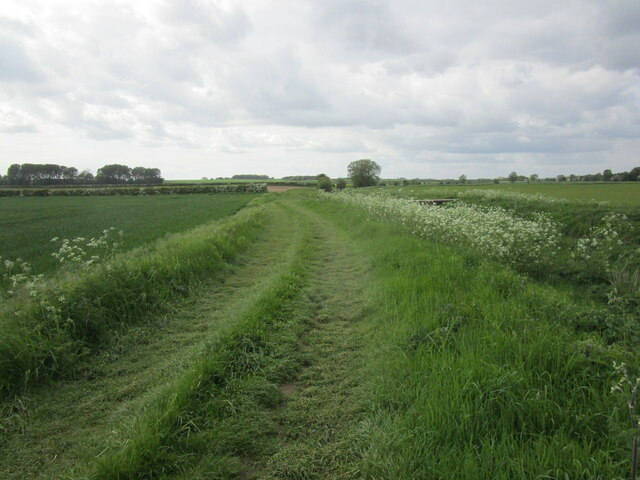
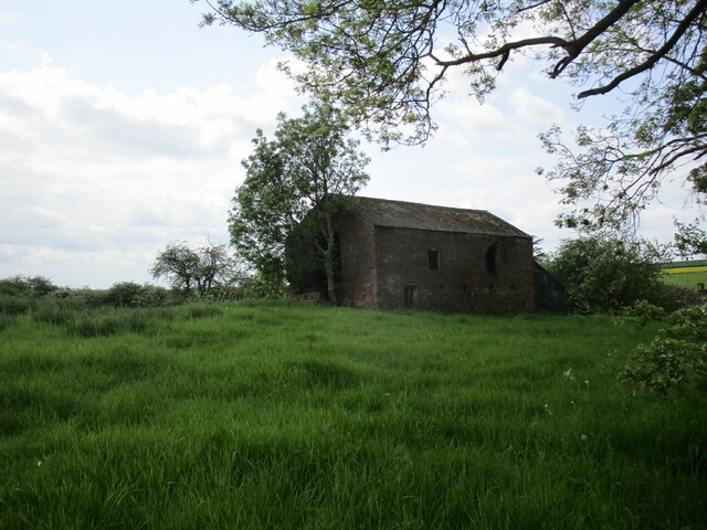
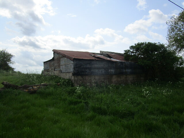
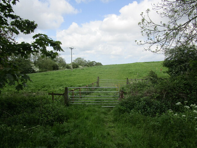
Mid Thorpe Images
Images are sourced within 2km of 53.239263/-0.10707638 or Grid Reference TF2673. Thanks to Geograph Open Source API. All images are credited.
Mid Thorpe is located at Grid Ref: TF2673 (Lat: 53.239263, Lng: -0.10707638)
Division: Parts of Lindsey
Administrative County: Lincolnshire
District: East Lindsey
Police Authority: Lincolnshire
What 3 Words
///presented.swanky.informs. Near Horncastle, Lincolnshire
Nearby Locations
Related Wikis

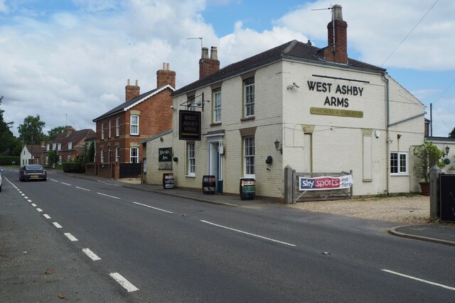
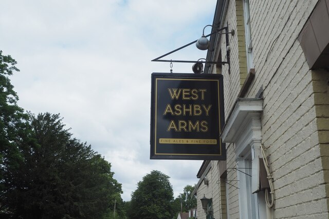
West Ashby
West Ashby is a village and civil parish in the East Lindsey district of Lincolnshire, England. It is situated on the Horncastle to Louth A153 road, and...

Low Toynton
Low Toynton is a hamlet and civil parish in the East Lindsey district of Lincolnshire, England. The population of the civil parish (including Fulletby...

Hemingby
Hemingby is a dispersed village and civil parish in the East Lindsey district of Lincolnshire, England. It is situated approximately 3 miles (5 km) north...

Fulletby
Fulletby is a village and a civil parish in the East Lindsey district of Lincolnshire, England. It is in the Lincolnshire Wolds, and 3 miles (5 km) north...

Queen Elizabeth's Grammar School, Horncastle
Queen Elizabeth's Grammar School, Horncastle, is a co-educational grammar school with academy status in Horncastle, Lincolnshire, England. In 2009, there...
Edlington, Lincolnshire
Edlington is a village in the parish of Edlington with Wispington, in East Lindsey Lincolnshire, England. It is situated 2 miles (3.2 km) north-west of...

Horncastle
Horncastle is a market town and civil parish in the East Lindsey district in Lincolnshire, England. It is 17 miles (27 km) east of Lincoln. Its population...
St Mary's Church, Horncastle
St. Mary's Church, Horncastle, Lincolnshire, England, dates from the early 13th century and is dedicated to Saint Mary. It serves the Ecclesiastical Parish...
Nearby Amenities
Located within 500m of 53.239263,-0.10707638Have you been to Mid Thorpe?
Leave your review of Mid Thorpe below (or comments, questions and feedback).