Middle Bockhampton

Settlement in Hampshire

England

Middle Bockhampton

Stile and footpath across fields, South Bockhampton
Stile and footpath across fields, South Bockhampton Credit: David Martin

Middle Bockhampton is a small village located in the county of Hampshire, England. Situated approximately 3 miles northeast of the market town of Andover, Middle Bockhampton is nestled in a rural setting amidst picturesque countryside.

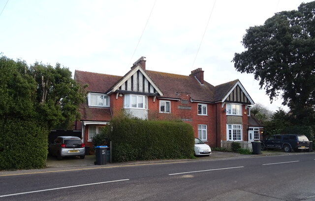
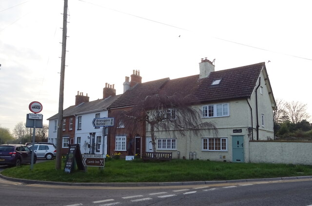
The village is characterized by its charming and quaint atmosphere, with a population of around 200 residents. It boasts a close-knit community that takes pride in preserving its historical and cultural heritage. The architecture of Middle Bockhampton is predominantly traditional, with many buildings dating back several centuries.

The village is surrounded by rolling hills and lush green fields, offering stunning views of the countryside. It is also blessed with an abundance of natural beauty, including a nearby river and woodland areas, making it an ideal location for outdoor enthusiasts.

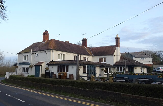
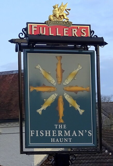
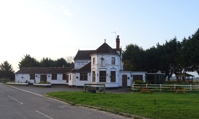
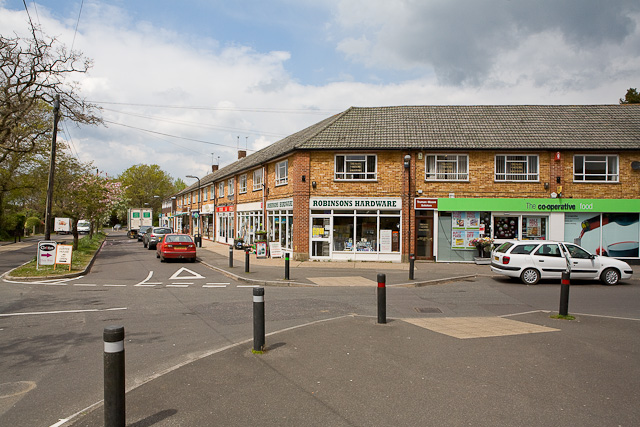
While Middle Bockhampton is primarily residential, there are a few local amenities to cater to the needs of its residents. These include a small village shop, a traditional pub, and a village hall that serves as a social hub for community events and gatherings.

The village is well-connected to the surrounding areas, with good road links to Andover and other nearby towns. It offers a peaceful and tranquil lifestyle, away from the hustle and bustle of urban life, while still providing easy access to essential amenities and services.

In summary, Middle Bockhampton is a charming and idyllic village in Hampshire, offering a close-knit community, natural beauty, and a peaceful rural lifestyle.

If you have any feedback on the listing, please let us know in the comments section below.

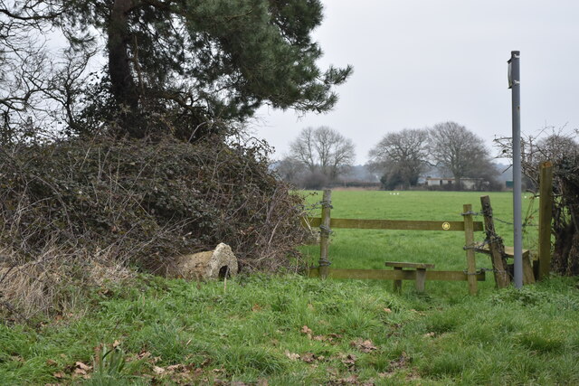
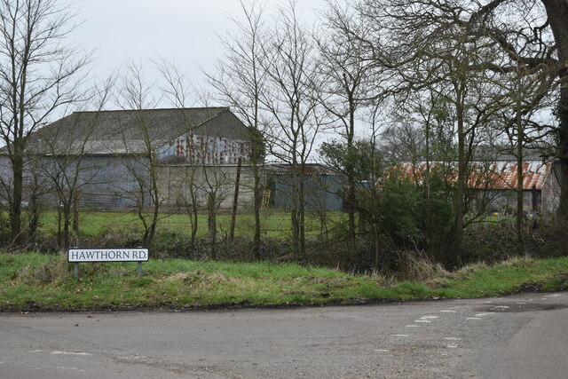
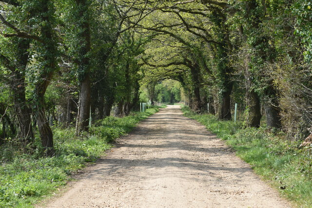
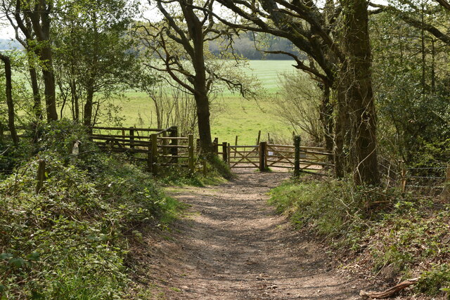
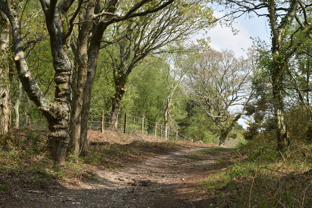
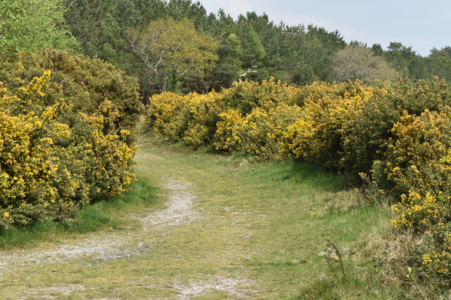
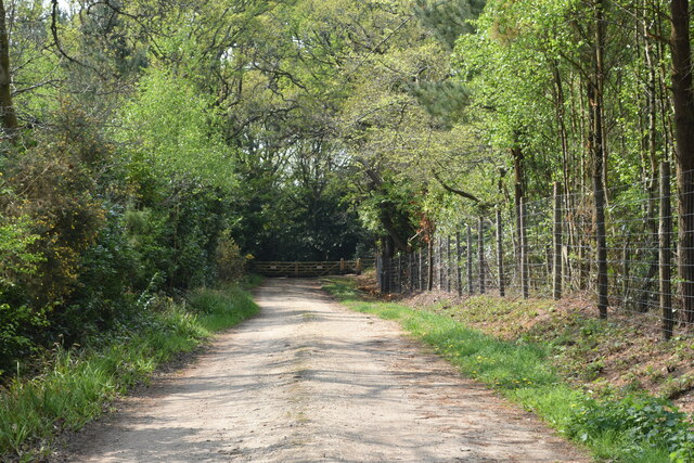
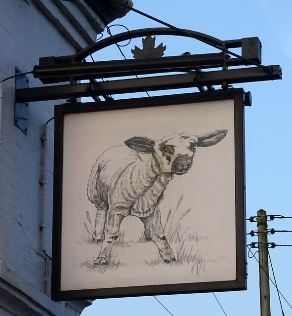
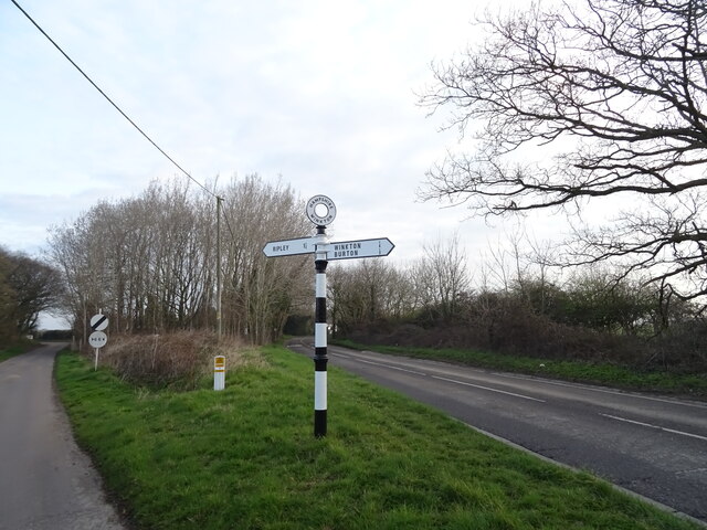
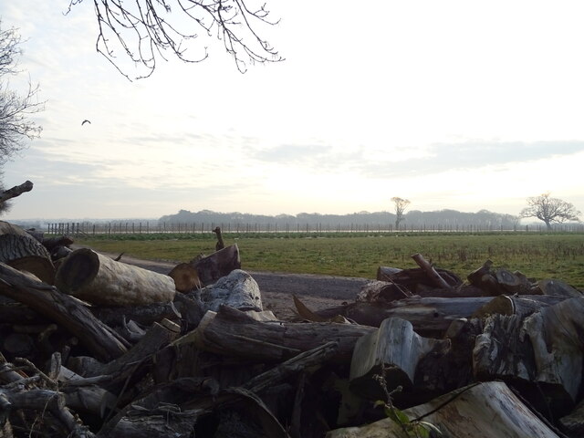
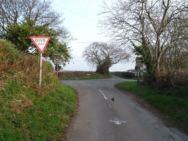
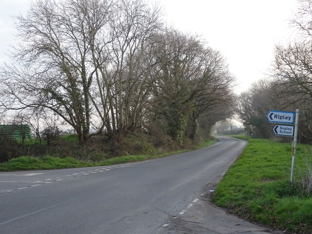
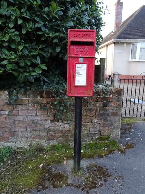
Middle Bockhampton Images

Images are sourced within 2km of 50.772625/-1.7475301 or Grid Reference SZ1797. Thanks to Geograph Open Source API. All images are credited.

Stile and footpath across fields, South Bockhampton
Corner of Hawthorn Road and Lyndhurst Road
Bridleway south of New Close Farm
Bridleway to Hill Lane
Bridleway up onto Burton Common
Path  through gorse on Burton Common
Path through gorse on Burton Common
Bridleway past Waterditch House
Cottages on Burley Road
The Fisherman's Haunt public house
Sign for the Fisherman's Haunt public house
Cottages on Burley Road
The Lamb Inn
The Lamb Inn
Sign for the Lamb Inn
Fingerpost beside Burley Road
Farmland off Harpway Lane
Staggered junction on Harpway Lane
Derritt Lane
Derritt Lane
Elizabeth II postbox on Burley Road See <a title="https://www.geograph.org.uk/photo/7318275" href="https://www.geograph.org.uk/photo/7318275">Link</a> for context.
Postbox No. BH23 48.
Elizabeth II postbox on Burley Road
See Link for context. Postbox No. BH23 48.
Show me another place!

Middle Bockhampton is located at Grid Ref: SZ1797 (Lat: 50.772625, Lng: -1.7475301)

Unitary Authority: Bournemouth, Christchurch and Poole

Police Authority: Dorset

What 3 Words

///epic.truth.ripen. Near Bransgore, Hampshire

Related Wikis

Bransgore

Bransgore is a village and civil parish within the New Forest District, Hampshire, England. The village developed in the 19th century when a church and...

RAF Winkton

Royal Air Force Winkton, or more simply RAF Winkton, is a former Royal Air Force Advanced Landing Ground previously in Hampshire but now, due to County...

1958 BOAC Bristol Britannia crash

G-AOVD was a Bristol Britannia 312 operated by BOAC which crashed near Christchurch, Dorset, in the south of England on Christmas Eve 1958, killing two...

RAF Sopley

RAF Sopley was a World War II station, codenamed Starlight, near the village of Sopley in Hampshire. The Radar Station was opened in December 1940. In...

Nearby Amenities

Located within 500m of 50.772625,-1.7475301
Barrier: stile
Lat/Long: 50.7765224/-1.7458511
Barrier: stile
Lat/Long: 50.7737727/-1.746735
Barrier: stile
Lat/Long: 50.7753858/-1.7480487
Barrier: stile
Lat/Long: 50.7760953/-1.7465687
Barrier: stile
Lat/Long: 50.7764168/-1.7459866
Bus Stop
Bockhampton Corner
Bus: yes
Naptan AtcoCode: 1900HA080935
Naptan Bearing: W
Naptan CommonName: Bockhampton Corner
Naptan Crossing: Bockhampton Road
Naptan NaptanCode: hamadpgt
Naptan Street: Burley Road
Naptan Verified: no
Public Transport: platform
Source: naptan_import
Lat/Long: 50.7752909/-1.7462417
Bus Stop
Bockhampton Corner
Bus: yes
Naptan AtcoCode: 1900HA080936
Naptan Bearing: E
Naptan BusStopType: CUS
Naptan CommonName: Bockhampton Corner
Naptan Crossing: Bockhampton Road
Naptan NaptanCode: hamadpgp
Naptan Street: Burley Road
Naptan Verified: no
Public Transport: platform
Source: naptan_import
Lat/Long: 50.7753449/-1.7462698
Generator Method: photovoltaic
Generator Output Electricity: yes
Generator Source: solar
Generator Type: solar_photovoltaic_panel
Location: roof
Power: generator
Lat/Long: 50.7769299/-1.7461229
Generator Method: photovoltaic
Generator Output Electricity: yes
Generator Source: solar
Generator Type: solar_photovoltaic_panel
Location: roof
Power: generator
Lat/Long: 50.7767696/-1.7460022
Bus Stop
Rocky Ranch
Bus: yes
Naptan AtcoCode: 1200POA11059
Naptan Bearing: W
Naptan CommonName: Burley Road
Naptan Indicator: W-bound
Naptan NaptanCode: dordjtjd
Naptan Street: Burley Road
Naptan Verified: no
Public Transport: platform
Lat/Long: 50.774602/-1.7516944
Bus Stop
Rocky Ranch
Bus: yes
Naptan AtcoCode: 1200POA11058
Naptan Bearing: E
Naptan CommonName: Burley Road
Naptan Indicator: E-bound
Naptan NaptanCode: dordjtja
Naptan Street: Burley Road
Naptan Verified: no
Public Transport: platform
Lat/Long: 50.7747071/-1.7517534
Middle Bockhampton
Place: hamlet
Lat/Long: 50.7693618/-1.7521156
North Bockhampton
Place: hamlet
Lat/Long: 50.7746192/-1.7514295
The data included in this document is from www.openstreetmap.org. The data is made available under ODbL.

Have you been to Middle Bockhampton?

Leave your review of Middle Bockhampton below (or comments, questions and feedback).