North Bockhampton
Settlement in Hampshire
England
North Bockhampton
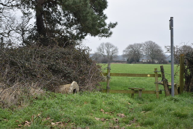
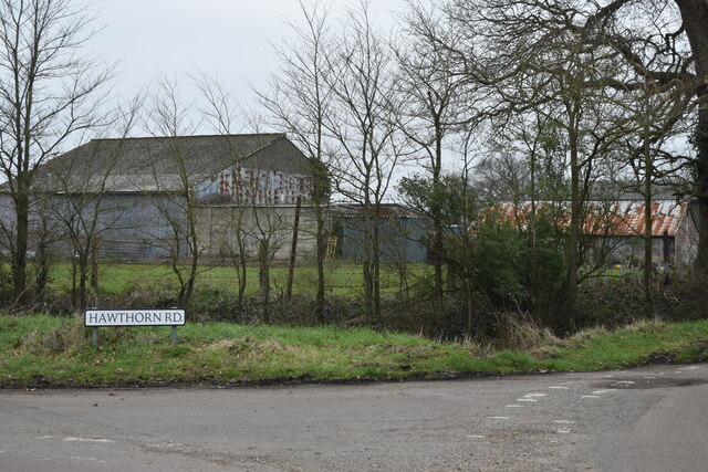
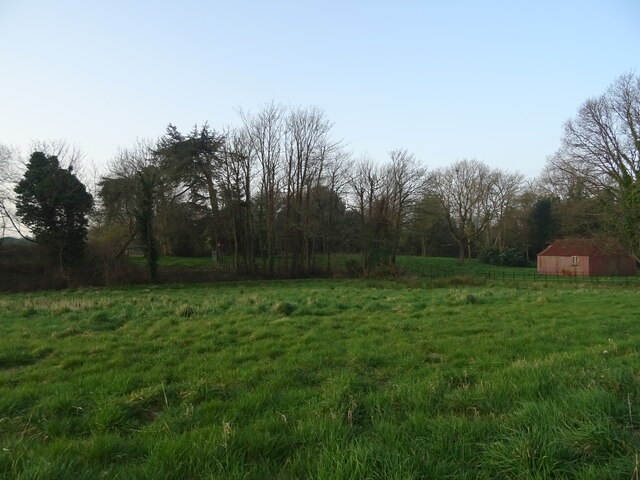
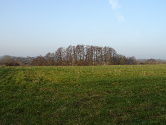
North Bockhampton is a quaint village located in the county of Hampshire, England. Situated in the picturesque countryside, it is nestled near the River Avon and surrounded by rolling green hills. The village is part of the New Forest district and falls within the civil parish of Ellingham, Harbridge, and Ibsley.
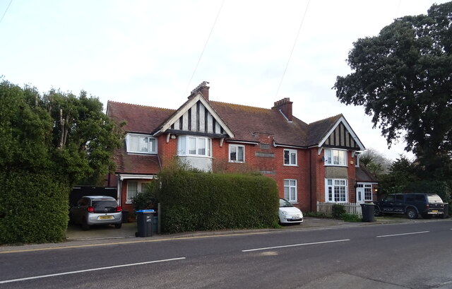
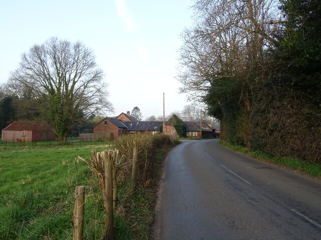
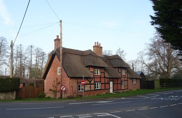
Known for its idyllic setting, North Bockhampton offers a peaceful and tranquil atmosphere. The village is predominantly residential, with charming cottages and houses lining the streets. The architecture reflects the traditional English countryside style, adding to the village's quaint appeal.
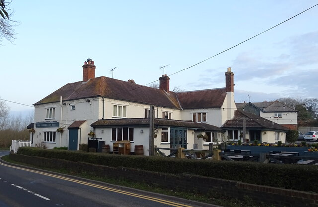
Despite its small size, North Bockhampton boasts a strong sense of community. The villagers take pride in maintaining their picturesque surroundings, evident in well-tended gardens and neatly trimmed hedges. The village is also known for its vibrant social scene, with various community events and gatherings throughout the year.
For nature enthusiasts, North Bockhampton offers easy access to the stunning New Forest National Park. This allows residents and visitors to explore the area's diverse wildlife, ancient woodlands, and scenic walking trails. The nearby River Avon provides opportunities for fishing and boating, adding to the area's natural beauty.
Although North Bockhampton is primarily a residential village, essential amenities can be found in the nearby towns of Ringwood and Fordingbridge. These towns offer a range of shops, supermarkets, schools, and healthcare facilities, ensuring that residents have convenient access to everyday necessities.
Overall, North Bockhampton is a charming and picturesque village that offers a peaceful countryside lifestyle while still providing access to essential services and nearby natural attractions.
If you have any feedback on the listing, please let us know in the comments section below.
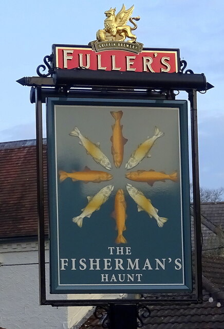
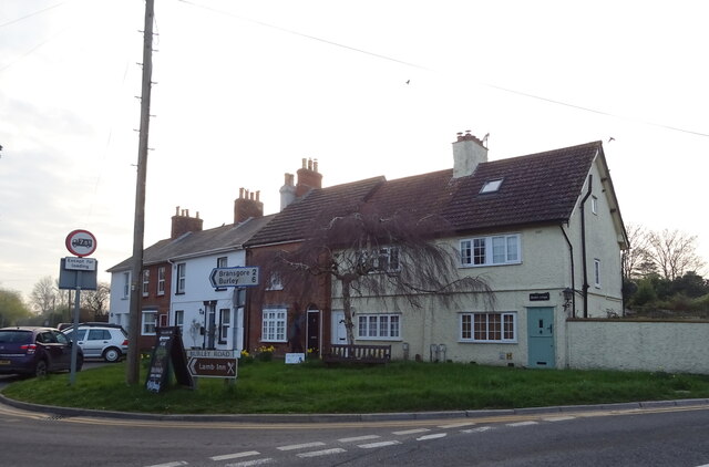
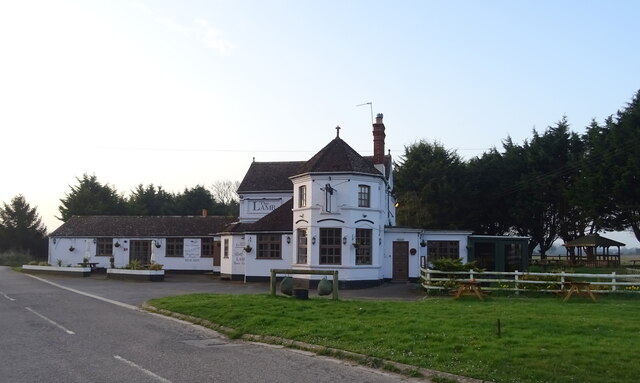
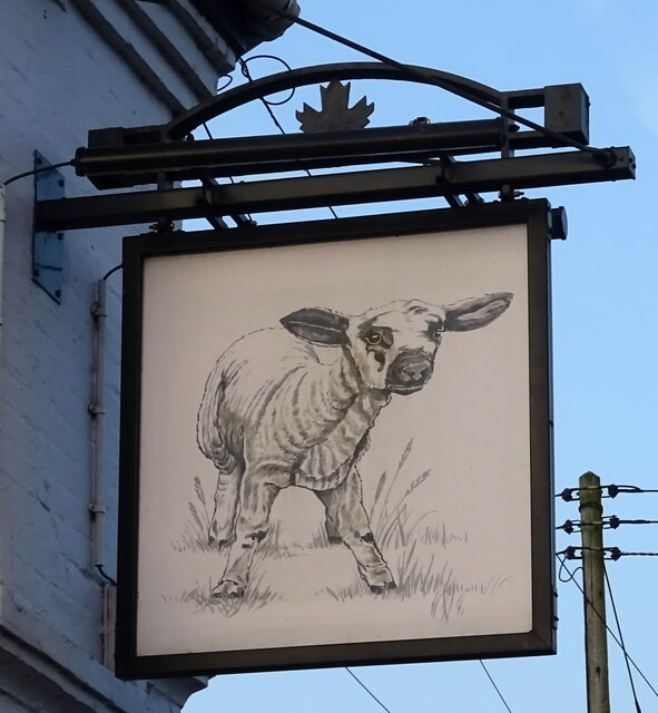
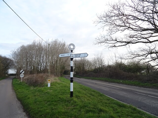
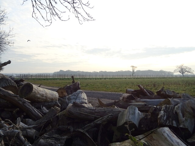
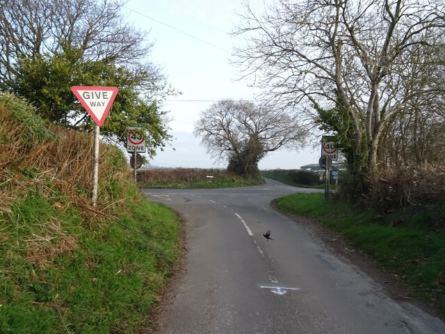
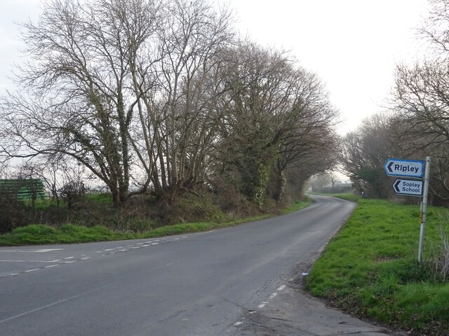
North Bockhampton Images
Images are sourced within 2km of 50.773587/-1.7557788 or Grid Reference SZ1797. Thanks to Geograph Open Source API. All images are credited.


North Bockhampton is located at Grid Ref: SZ1797 (Lat: 50.773587, Lng: -1.7557788)
Unitary Authority: Bournemouth, Christchurch and Poole
Police Authority: Dorset
What 3 Words
///crunching.attend.passes. Near Bransgore, Hampshire
Nearby Locations
Related Wikis

RAF Winkton
Royal Air Force Winkton, or more simply RAF Winkton, is a former Royal Air Force Advanced Landing Ground previously in Hampshire but now, due to County...

1958 BOAC Bristol Britannia crash
G-AOVD was a Bristol Britannia 312 operated by BOAC which crashed near Christchurch, Dorset, in the south of England on Christmas Eve 1958, killing two...

RAF Sopley
RAF Sopley was a World War II station, codenamed Starlight, near the village of Sopley in Hampshire. The Radar Station was opened in December 1940. In...
Moorlands College
Moorlands College is an Evangelical Christian training college with a campus based in Sopley (near Christchurch) Dorset, and Regional Centres in Devon...
Nearby Amenities
Located within 500m of 50.773587,-1.7557788Have you been to North Bockhampton?
Leave your review of North Bockhampton below (or comments, questions and feedback).