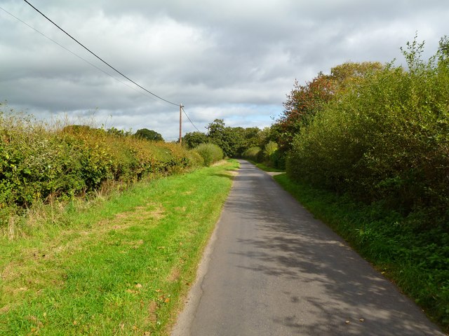
Barrett's Copse
Wood, Forest in Hampshire
England
Barrett's Copse
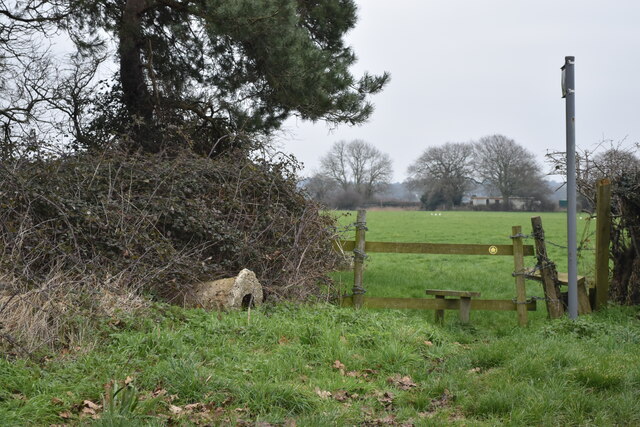
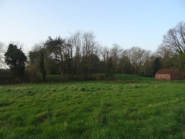
Barrett's Copse is a picturesque woodland located in the county of Hampshire, England. Covering an area of approximately 50 acres, it is nestled within the South Downs National Park, offering visitors a tranquil and natural escape.
The copse is characterized by its diverse range of tree species, including oak, beech, ash, and birch. These towering trees create a dense canopy, providing shade and shelter for a variety of wildlife. Birds such as woodpeckers, thrushes, and owls can often be heard and spotted among the branches, while small mammals like squirrels and rabbits scuttle through the undergrowth.
The woodland floor is adorned with an array of wildflowers, adding vibrant splashes of color to the landscape. Bluebells, primroses, and foxgloves create a stunning spectacle during the spring months, attracting nature enthusiasts and photographers alike.
Barrett's Copse is crisscrossed with well-maintained footpaths, allowing visitors to explore the woodland at their leisure. These paths lead to charming spots, such as a babbling brook and a small pond, where visitors can observe dragonflies, frogs, and other aquatic life.
The copse also boasts several picnic areas and benches, providing the perfect opportunity to relax and immerse oneself in the peaceful surroundings. It is a popular destination for families, walkers, and nature lovers, who can enjoy the beauty of the woodland throughout the changing seasons.
Overall, Barrett's Copse in Hampshire offers a serene and enchanting experience, where visitors can connect with nature and revel in the beauty of this ancient woodland.
If you have any feedback on the listing, please let us know in the comments section below.
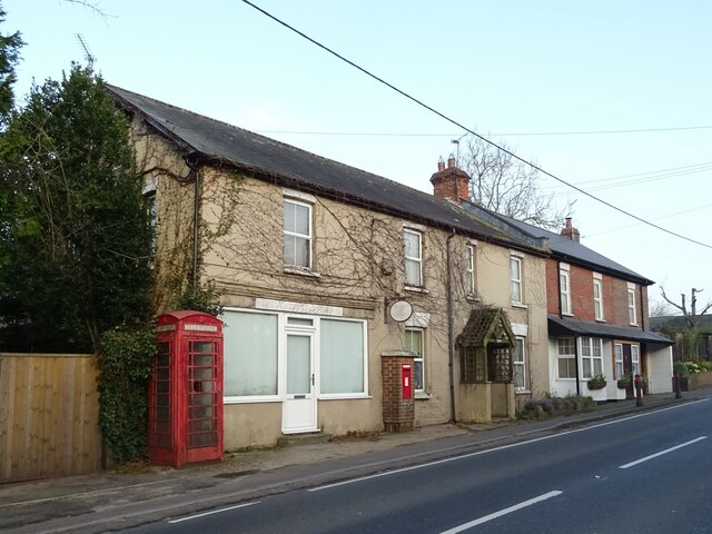
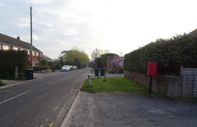
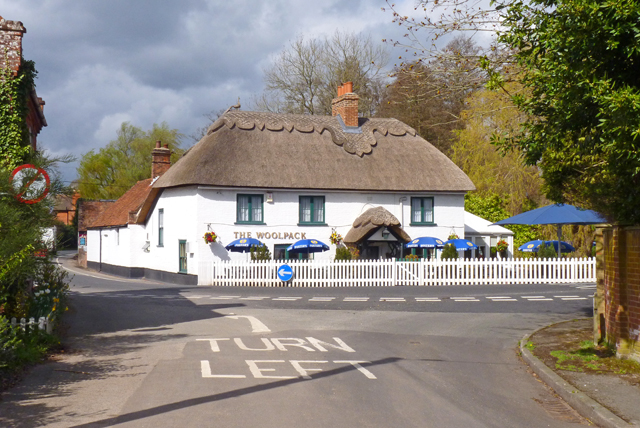
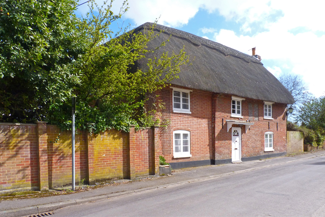
Barrett's Copse Images
Images are sourced within 2km of 50.778294/-1.7532581 or Grid Reference SZ1797. Thanks to Geograph Open Source API. All images are credited.
Barrett's Copse is located at Grid Ref: SZ1797 (Lat: 50.778294, Lng: -1.7532581)
Unitary Authority: Bournemouth, Christchurch and Poole
Police Authority: Dorset
What 3 Words
///urban.skip.hazelnuts. Near Bransgore, Hampshire
Nearby Locations
Related Wikis

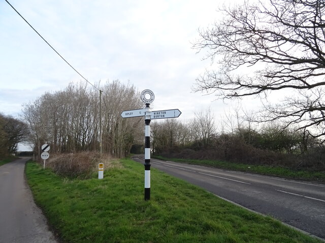
RAF Winkton
Royal Air Force Winkton, or more simply RAF Winkton, is a former Royal Air Force Advanced Landing Ground previously in Hampshire but now, due to County...

RAF Sopley
RAF Sopley was a World War II station, codenamed Starlight, near the village of Sopley in Hampshire. The Radar Station was opened in December 1940. In...
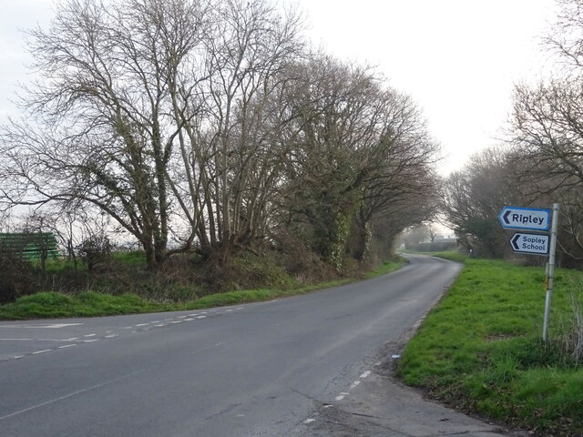
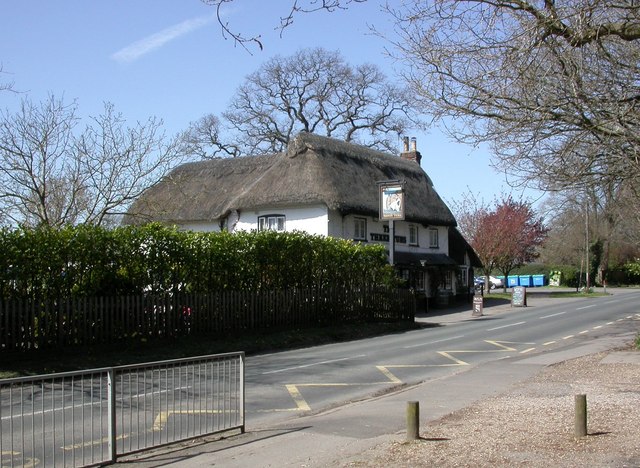
Bransgore
Bransgore is a village and civil parish within the New Forest District, Hampshire, England. The village developed in the 19th century when a church and...
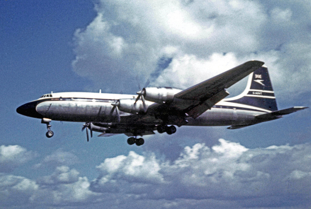
1958 BOAC Bristol Britannia crash
G-AOVD was a Bristol Britannia 312 operated by BOAC which crashed near Christchurch, Dorset, in the south of England on Christmas Eve 1958, killing two...
Moorlands College
Moorlands College is an Evangelical Christian training college with a campus based in Sopley (near Christchurch) Dorset, and Regional Centres in Devon...

Sopley
Sopley is a village and civil parish situated in the New Forest National Park of Hampshire, England. It lies on the old main road from Christchurch to...

Winkton, Dorset
Winkton is a hamlet in the historic county of Hampshire and the ceremonial county of Dorset, England. Together with the village of Burton, it is part of...
Homefield School
Homefield School (closed Feb. 10, 2005) was a school for boys and girls age four to 18 in Winkton, Dorset, England. The school occupied a large, cream...
Nearby Amenities
Located within 500m of 50.778294,-1.7532581Have you been to Barrett's Copse?
Leave your review of Barrett's Copse below (or comments, questions and feedback).