Clough Wood
Wood, Forest in Yorkshire
England
Clough Wood

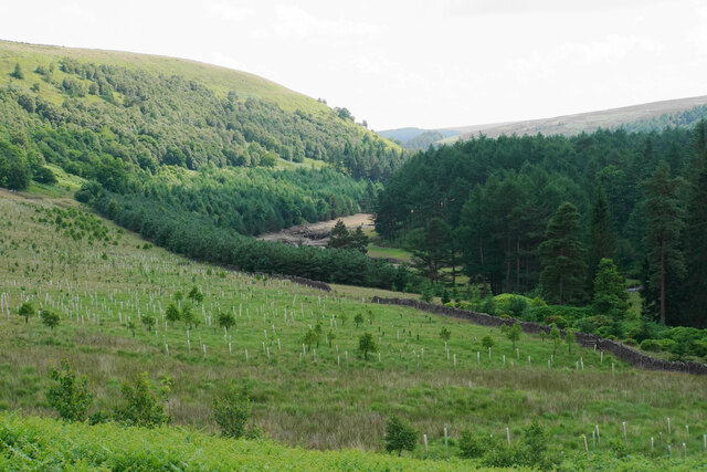
Clough Wood is a picturesque forest located in the county of Yorkshire, England. Nestled in the heart of the countryside, this woodland is a haven for nature enthusiasts and those seeking tranquility amidst the hustle and bustle of everyday life.
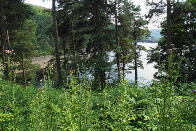
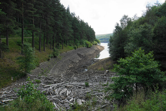
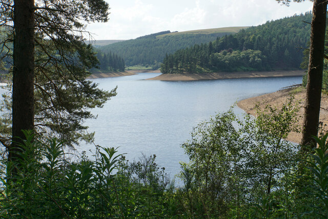
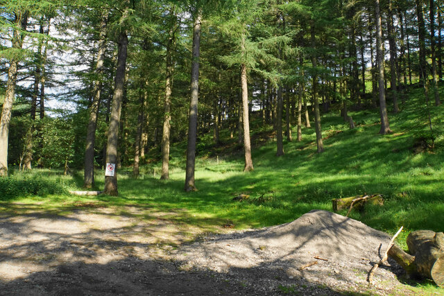
Covering an area of approximately 500 acres, Clough Wood boasts a diverse range of flora and fauna. The woodland is predominantly composed of broadleaf trees, including oak, beech, and birch, which create a lush and vibrant canopy overhead. This rich vegetation provides a habitat for a variety of wildlife species, such as deer, foxes, and numerous bird species, making it a popular spot for birdwatching and animal spotting.
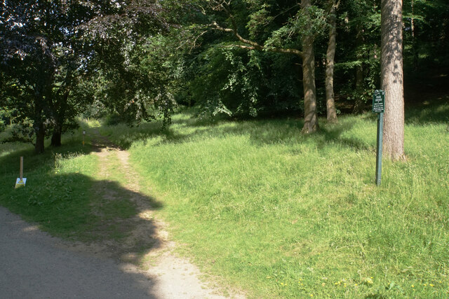
Visitors to Clough Wood can explore a network of well-maintained trails that meander through the forest, offering breathtaking views and opportunities for peaceful walks. The trails cater to different abilities, ranging from gentle strolls for families with young children to more challenging hikes for experienced walkers.
The forest also features a picnic area, where visitors can relax and enjoy a meal surrounded by the natural beauty of the woodland. Additionally, Clough Wood has several designated camping spots, allowing nature enthusiasts to spend a night under the stars and truly immerse themselves in the tranquility of the forest.
Clough Wood is open to the public all year round, and admission is free, making it an accessible destination for locals and tourists alike. Whether it's to admire the stunning scenery, observe wildlife, or simply unwind in nature, this woodland offers a peaceful retreat for all who visit.
If you have any feedback on the listing, please let us know in the comments section below.
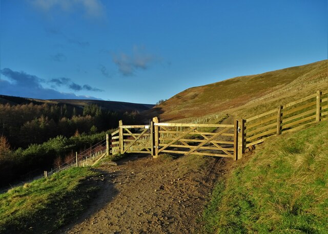
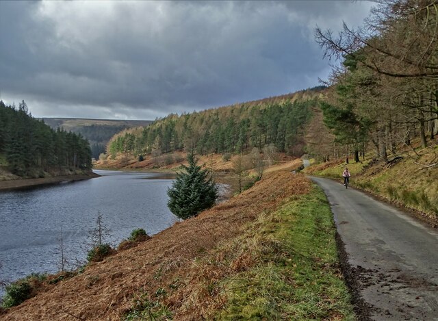
Clough Wood Images
Images are sourced within 2km of 53.437595/-1.7381135 or Grid Reference SK1793. Thanks to Geograph Open Source API. All images are credited.


Clough Wood is located at Grid Ref: SK1793 (Lat: 53.437595, Lng: -1.7381135)
Division: West Riding
Unitary Authority: Sheffield
Police Authority: South Yorkshire
What 3 Words
///stud.racetrack.prop. Near Bradfield, South Yorkshire
Nearby Locations
Related Wikis

River Westend
The River Westend flows through the Dark Peak of the Derbyshire Peak District in England. Its source is at Bleaklow Stones on Bleaklow, from where it...

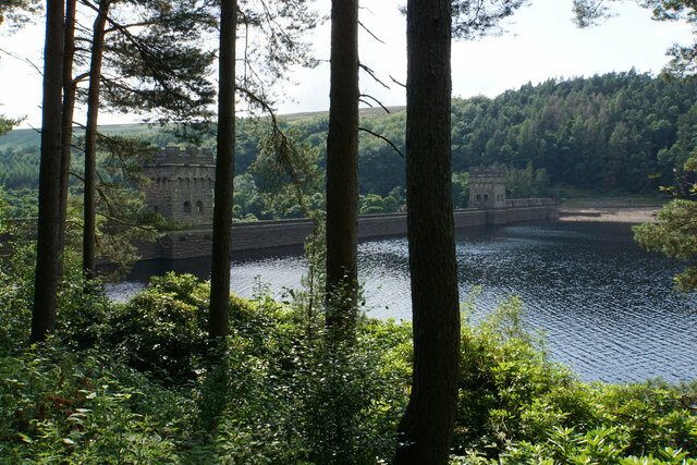
Howden Reservoir
The Howden Reservoir is a Y-shaped reservoir, the uppermost of the three in the Upper Derwent Valley, England. The western half of the reservoir lies in...

Howden Edge
Howden Edge (grid reference SK187943) is a peak in the north-east of the Upper Derwent Valley area of the Peak District National Park in England. At 545...

High Stones
High Stones, at 548 metres (1,798 ft), is the highest point within the boundaries of both the City of Sheffield and South Yorkshire, England.High Stones...

Margery Hill
Margery Hill is a 546-metre (1,791 ft) hill on the Howden Moors in South Yorkshire, England. It lies towards the northern boundary of the Peak District...

Derwent Reservoir (Derbyshire)
Derwent Reservoir is the middle of three reservoirs in the Upper Derwent Valley in the north of Derbyshire, England. It lies approximately 10 mi (16 km...

Lost Lad
Lost Lad is a hill, 518 metres (1,699 ft) high on the Derwent Edge in the Peak District in the county of Derbyshire in England. It is a subpeak of Back...

Alport Castles
The Alport Castles are a landslip feature in the Peak District National Park in Derbyshire. At over half a mile long, it is thought to be the largest landslide...
Nearby Amenities
Located within 500m of 53.437595,-1.7381135Have you been to Clough Wood?
Leave your review of Clough Wood below (or comments, questions and feedback).