Tixall
Civil Parish in Staffordshire Stafford
England
Tixall
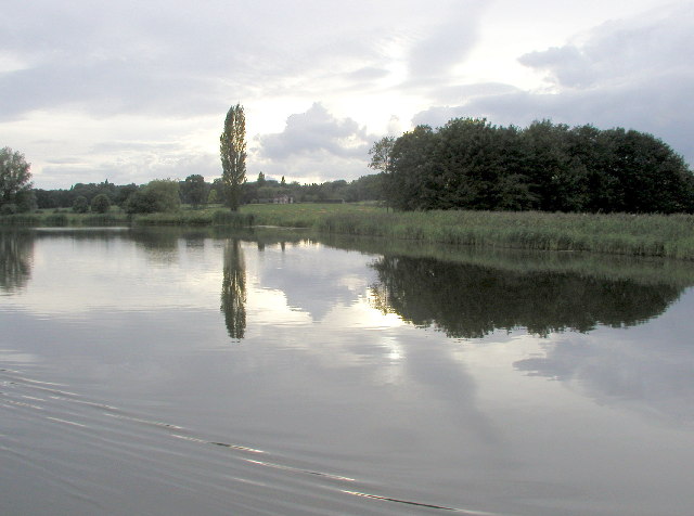
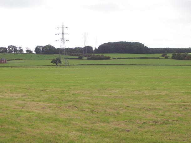
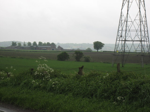
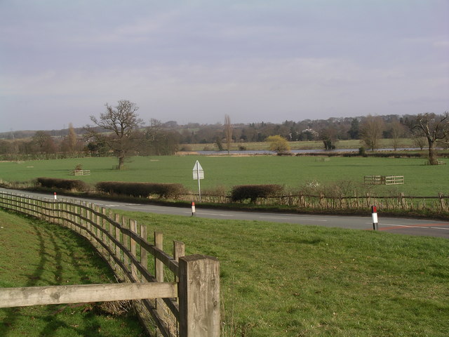
Tixall is a small civil parish located in Staffordshire, England. Situated approximately 4 miles east of Stafford, the parish covers an area of around 2.5 square miles. Tixall is bordered by the River Trent to the north and the Staffordshire and Worcestershire Canal to the west.
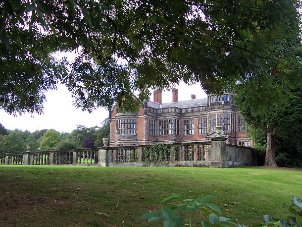
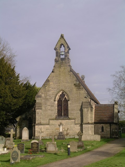
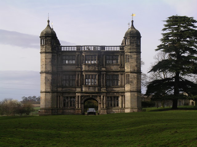
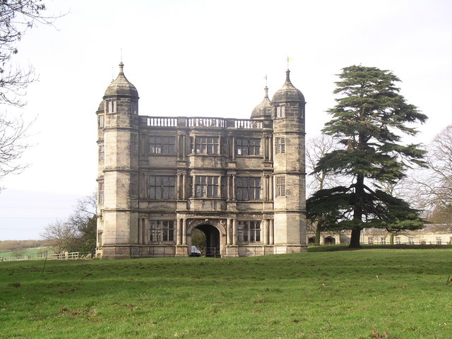
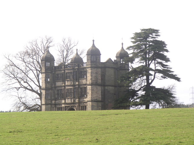
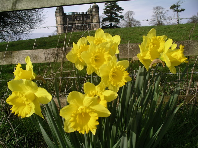
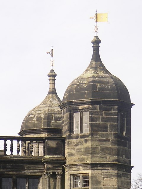
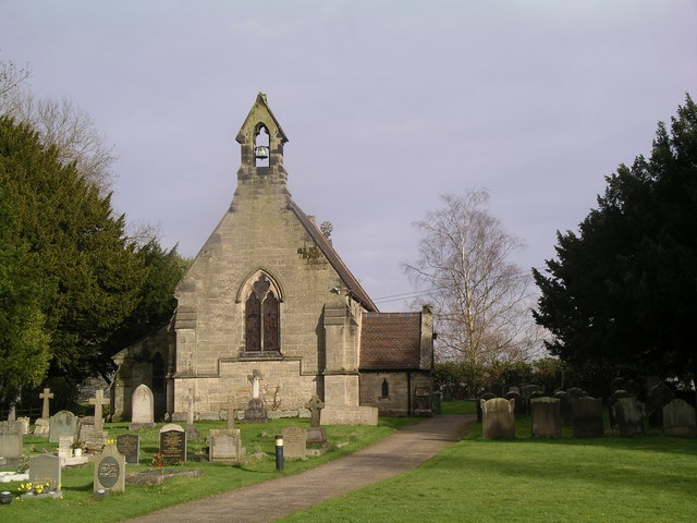
The village of Tixall itself is known for its picturesque and rural charm. It is predominantly made up of quaint cottages and historic buildings, including the Grade I listed Tixall Gatehouse, which dates back to the early 17th century. The gatehouse is a rare surviving example of an Elizabethan brick building and is open to the public during certain times of the year.
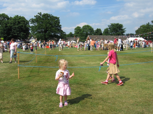
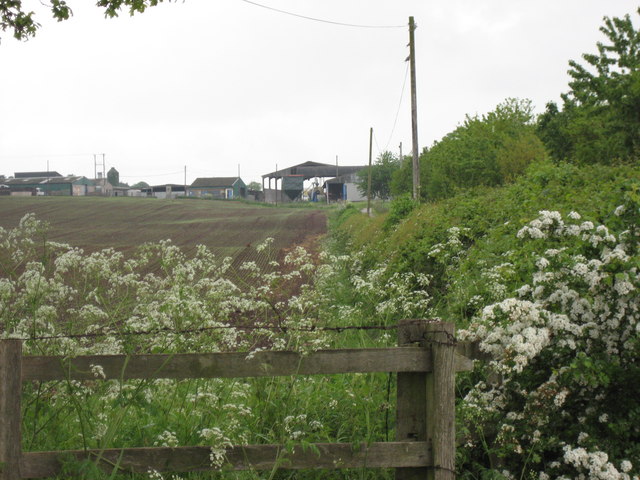
Tixall also boasts a strong agricultural heritage, with farming playing a significant role in the local economy. The surrounding countryside is characterized by fertile farmland and rolling hills, making it an ideal location for agriculture.
In addition to its natural beauty, Tixall offers a range of recreational activities. The area is popular among walkers and cyclists, with several scenic trails and pathways crisscrossing the parish. Fishing is also a popular pastime, thanks to the close proximity to the River Trent.
Overall, Tixall is a picturesque and idyllic civil parish that offers a peaceful and rural lifestyle. Its rich history, stunning architecture, and beautiful surroundings make it an appealing destination for both locals and visitors alike.
If you have any feedback on the listing, please let us know in the comments section below.
Tixall Images
Images are sourced within 2km of 52.806374/-2.046132 or Grid Reference SJ9623. Thanks to Geograph Open Source API. All images are credited.
Tixall is located at Grid Ref: SJ9623 (Lat: 52.806374, Lng: -2.046132)
Administrative County: Staffordshire
District: Stafford
Police Authority: Staffordshire
What 3 Words
///theme.format.choice. Near Great Haywood, Staffordshire
Nearby Locations
Related Wikis

Tixall
Tixall is a small village and civil parish in the Stafford district, in the English county of Staffordshire lying on the western side of the Trent valley...

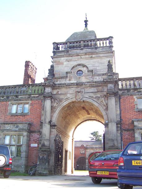
Tixall Gatehouse
Tixall Gatehouse is a 16th-century gatehouse situated at Tixall, near Stafford, Staffordshire and is all that remains of Tixall Hall which was demolished...

Tixall Wide
Tixall Wide, also known as Tixall Broad or The Broad Water, is a body of water that forms part of the Staffordshire and Worcestershire Canal near Tixall...

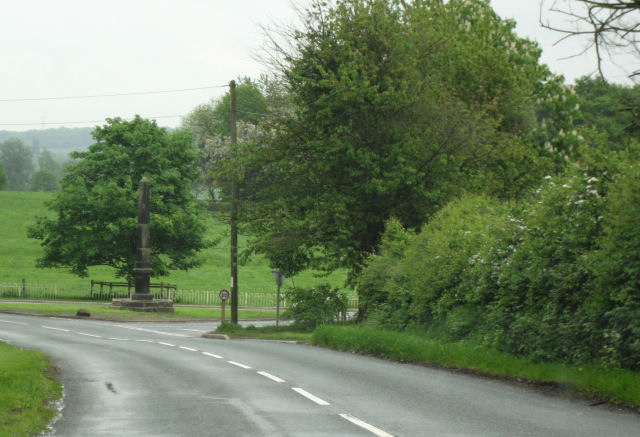
Way for the Millennium
The Way for the Millennium is a 41-mile-long (66 km) east–west route across Staffordshire, deliberately designed for easy walking, using towpaths, old...

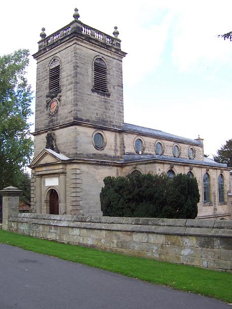
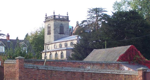
Ingestre Hall
Ingestre Hall is a Grade II* 17th-century Jacobean mansion situated at Ingestre, near Stafford, Staffordshire, England. Formerly the seat of the Earls...
Ingestre
Ingestre is a village and civil parish in the Stafford district, in the county of Staffordshire, England. The population of the civil parish taken at the...

Milford and Brocton railway station
Milford and Brocton railway station served the villages of Milford and Brocton in Staffordshire, England from 1877 to 1950 on the Trent Valley line....

Priory of St. Thomas near Stafford
Priory of St. Thomas near Stafford was an Augustinian religious house near Stafford, Staffordshire, England. Founded sometime in approximately 1174, it...
Nearby Amenities
Located within 500m of 52.806374,-2.046132Have you been to Tixall?
Leave your review of Tixall below (or comments, questions and feedback).