Hanyards Spinney

Wood, Forest in Staffordshire Stafford

England

Hanyards Spinney

Public footpath across field
Public footpath across field Credit: Jonathan Hutchins

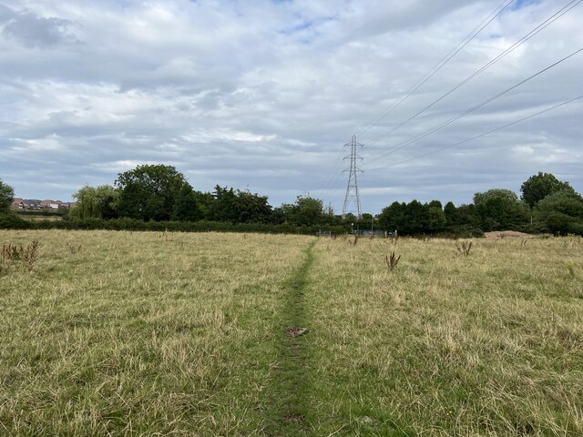
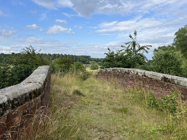
Hanyards Spinney is a woodland located in Staffordshire, England. Situated near the village of Hanyards, this small forested area covers approximately 10 acres of land. The spinney is a mix of deciduous and coniferous trees, creating a diverse and picturesque landscape.

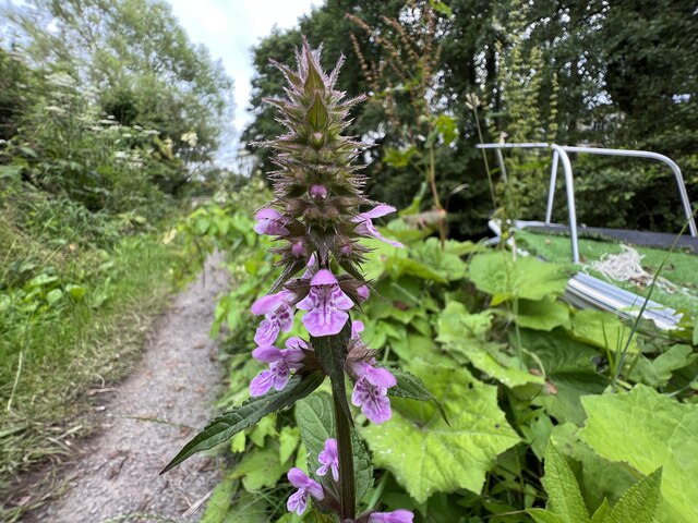
The woodland is home to a variety of wildlife, including birds, mammals, and insects. Visitors to Hanyards Spinney may spot species such as woodpeckers, squirrels, and deer, as well as numerous butterflies and other insects during the warmer months.

The forest offers a peaceful and tranquil environment, making it popular among nature enthusiasts and those seeking a break from the hustle and bustle of everyday life. Several walking trails wind through the spinney, allowing visitors to explore the area at their own pace. These trails vary in difficulty, catering to both casual strollers and more experienced hikers.

Hanyards Spinney is managed by the local authorities, who work to maintain its natural beauty and protect its wildlife. Regular maintenance, such as tree planting and clearing of paths, ensures that visitors can enjoy the woodland all year round.

Overall, Hanyards Spinney is a charming woodland in Staffordshire, providing a haven for nature lovers and a peaceful escape for all who visit. With its diverse range of trees and abundance of wildlife, it offers a unique and enriching experience for those seeking a connection with the natural world.

If you have any feedback on the listing, please let us know in the comments section below.

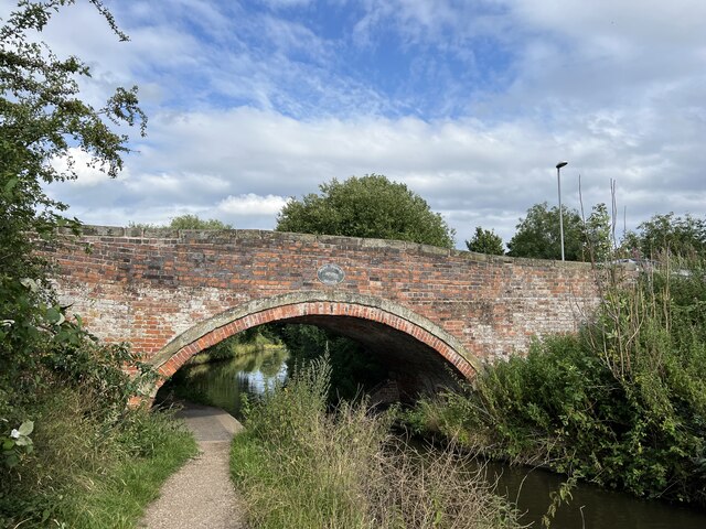
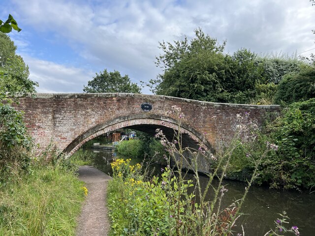
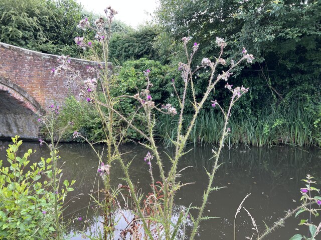
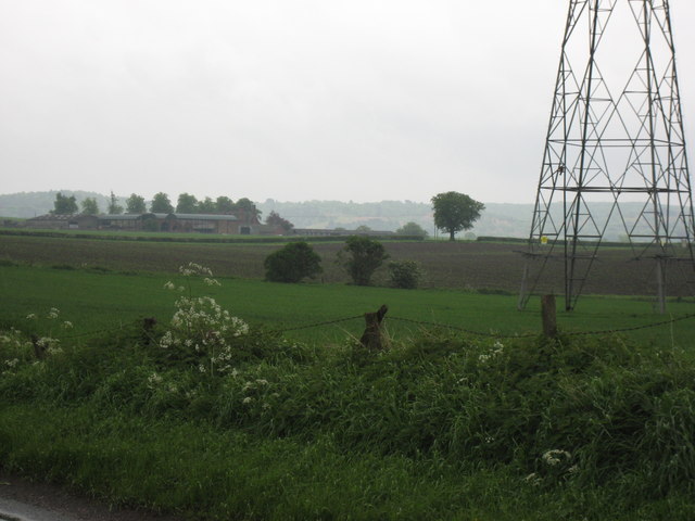
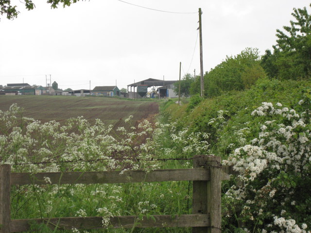
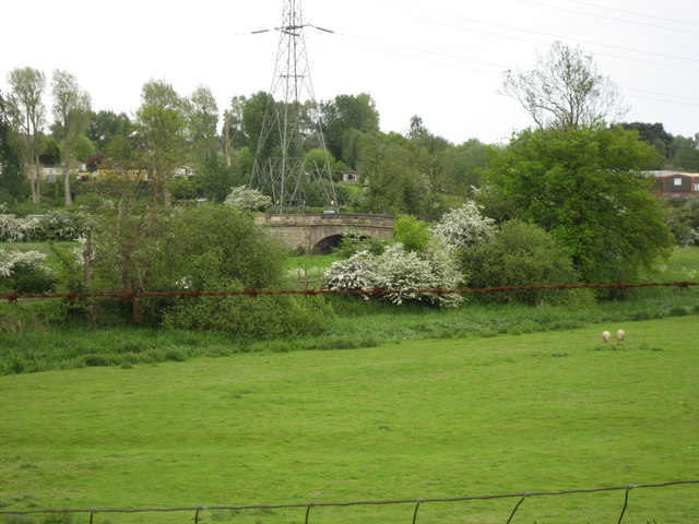
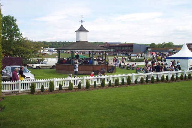
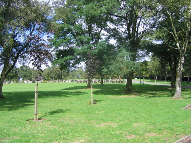
Hanyards Spinney Images

Images are sourced within 2km of 52.812639/-2.0578192 or Grid Reference SJ9623. Thanks to Geograph Open Source API. All images are credited.

Public footpath across field
St Thomas canal bridge Bridge no.101 over the Staffordshire and Worcestershire Canal is Grade II listed, see <span class="nowrap"><a title="https://historicengland.org.uk/listing/the-list/list-entry/1211073?section=official-list-entry" rel="nofollow ugc noopener" href="https://historicengland.org.uk/listing/the-list/list-entry/1211073?section=official-list-entry">Link</a><img style="margin-left:2px;" alt="External link" title="External link - shift click to open in new window" src="https://s1.geograph.org.uk/img/external.png" width="10" height="10"/></span>
St Thomas canal bridge
Bridge no.101 over the Staffordshire and Worcestershire Canal is Grade II listed, see LinkExternal link
Lodgefield canal bridge The Staffordshire and Worcestershire Canal was opened in 1772, engineered by James Brindley. It cost a little over £100,000 at the time. It links the River Severn at Stourport to the Trent and Mersey Canal at Great Haywood Junction in Staffordshire. There are 43 locks (45 if you don't fancy the deep wide locks at Stourport) and the canal is 46 miles in length.
Lodgefield canal bridge
The Staffordshire and Worcestershire Canal was opened in 1772, engineered by James Brindley. It cost a little over £100,000 at the time. It links the River Severn at Stourport to the Trent and Mersey Canal at Great Haywood Junction in Staffordshire. There are 43 locks (45 if you don't fancy the deep wide locks at Stourport) and the canal is 46 miles in length.
Marsh Thistle by canal The Staffordshire and Worcestershire Canal was opened in 1772, engineered by James Brindley. It cost a little over £100,000 at the time. It links the River Severn at Stourport to the Trent and Mersey Canal at Great Haywood Junction in Staffordshire. There are 43 locks (45 if you don't fancy the deep wide locks at Stourport) and the canal is 46 miles in length.
Marsh Thistle by canal
The Staffordshire and Worcestershire Canal was opened in 1772, engineered by James Brindley. It cost a little over £100,000 at the time. It links the River Severn at Stourport to the Trent and Mersey Canal at Great Haywood Junction in Staffordshire. There are 43 locks (45 if you don't fancy the deep wide locks at Stourport) and the canal is 46 miles in length.
Lodgefield canal bridge The Staffordshire and Worcestershire Canal was opened in 1772, engineered by James Brindley. It cost a little over £100,000 at the time. It links the River Severn at Stourport to the Trent and Mersey Canal at Great Haywood Junction in Staffordshire. There are 43 locks (45 if you don't fancy the deep wide locks at Stourport) and the canal is 46 miles in length.
Lodgefield canal bridge
The Staffordshire and Worcestershire Canal was opened in 1772, engineered by James Brindley. It cost a little over £100,000 at the time. It links the River Severn at Stourport to the Trent and Mersey Canal at Great Haywood Junction in Staffordshire. There are 43 locks (45 if you don't fancy the deep wide locks at Stourport) and the canal is 46 miles in length.
Marsh Woundwort by canal The Staffordshire and Worcestershire Canal was opened in 1772, engineered by James Brindley. It cost a little over £100,000 at the time. It links the River Severn at Stourport to the Trent and Mersey Canal at Great Haywood Junction in Staffordshire. There are 43 locks (45 if you don't fancy the deep wide locks at Stourport) and the canal is 46 miles in length.
Marsh Woundwort by canal
The Staffordshire and Worcestershire Canal was opened in 1772, engineered by James Brindley. It cost a little over £100,000 at the time. It links the River Severn at Stourport to the Trent and Mersey Canal at Great Haywood Junction in Staffordshire. There are 43 locks (45 if you don't fancy the deep wide locks at Stourport) and the canal is 46 miles in length.
Ingestre Hall Chetwynd's Jacobean masterpiece is owned by Sandwell Borough Council, who use it as a residential arts centre. <span class="nowrap"><a title="http://pages.britishlibrary.net/tixandrews/ingestre/inghall.html" rel="nofollow ugc noopener" href="http://pages.britishlibrary.net/tixandrews/ingestre/inghall.html">Link</a><img style="margin-left:2px;" alt="External link" title="External link - shift click to open in new window" src="https://s1.geograph.org.uk/img/external.png" width="10" height="10"/></span>
Ingestre Hall
Chetwynd's Jacobean masterpiece is owned by Sandwell Borough Council, who use it as a residential arts centre. LinkExternal link
St Mary the Virgin, Ingestre Built 1676. <span class="nowrap"><a title="http://pages.britishlibrary.net/tixandrews/ingestre/ingchrch.html" rel="nofollow ugc noopener" href="http://pages.britishlibrary.net/tixandrews/ingestre/ingchrch.html">Link</a><img style="margin-left:2px;" alt="External link" title="External link - shift click to open in new window" src="https://s1.geograph.org.uk/img/external.png" width="10" height="10"/></span>
St Mary the Virgin, Ingestre
Built 1676. LinkExternal link
Ingestre This odd little place viewed from the stables.
Ingestre
This odd little place viewed from the stables.
Ingestre Stables <span class="nowrap"><a title="http://www.ingestre.com/" rel="nofollow ugc noopener" href="http://www.ingestre.com/">Link</a><img style="margin-left:2px;" alt="External link" title="External link - shift click to open in new window" src="https://s1.geograph.org.uk/img/external.png" width="10" height="10"/></span>
Ingestre is quite a surprise. The village is at the end of a no-through road, so you'll only arrive here by choice or by accident. Your reward is not only a magnificent hall and church, but these amazing stables, which look to me more like an Oxford college. Hmm...
Ingestre Stables
LinkExternal link Ingestre is quite a surprise. The village is at the end of a no-through road, so you'll only arrive here by choice or by accident. Your reward is not only a magnificent hall and church, but these amazing stables, which look to me more like an Oxford college. Hmm...
Bridge over the River Penk , Baswich Road I believe this is one of Telford's bridges
Bridge over the River Penk , Baswich Road
I believe this is one of Telford's bridges
Tixall  The obelisk
Tixall The obelisk
Brancote Farm On a rather poor day !
Brancote Farm
On a rather poor day !
Tixall Heath Farm From the side of its drive way
Tixall Heath Farm
From the side of its drive way
Fields at St Thomas Looking towards the bridge over the Penk. In the Spring, on a wet day.
Fields at St Thomas
Looking towards the bridge over the Penk. In the Spring, on a wet day.
County Showground Taken during the Staffordshire Show
County Showground
Taken during the Staffordshire Show
Stafford fire station Stafford fire station, Beaconside, Stafford, Staffordshire.
Stafford fire station
Stafford fire station, Beaconside, Stafford, Staffordshire.
Stafford Crematorium Stafford Crematorium
Stafford Crematorium
Show me another place!

Hanyards Spinney is located at Grid Ref: SJ9623 (Lat: 52.812639, Lng: -2.0578192)

Administrative County: Staffordshire

District: Stafford

Police Authority: Staffordshire

What 3 Words

///those.boot.deaf. Near Great Haywood, Staffordshire

Related Wikis

Weston Road Academy

The Weston Road Academy (formerly Weston Road High School) is an academy school in Stafford, England. It provides secondary and further education for pupils...

Bingley Hall, Stafford

Bingley Hall (also known as New Bingley Hall to distinguish itself from the Bingley Hall in Birmingham) is an exhibition hall located in Stafford, England...

Priory of St. Thomas near Stafford

Priory of St. Thomas near Stafford was an Augustinian religious house near Stafford, Staffordshire, England. Founded sometime in approximately 1174, it...
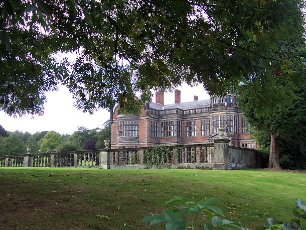
Ingestre Hall

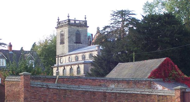
Ingestre Hall is a Grade II* 17th-century Jacobean mansion situated at Ingestre, near Stafford, Staffordshire, England. Formerly the seat of the Earls...
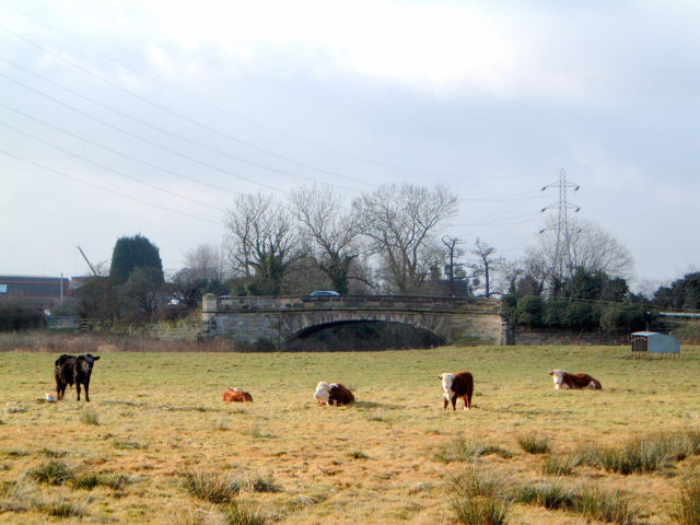
River Penk

The River Penk is a small river flowing through Staffordshire, England. Its course is mainly within South Staffordshire, and it drains most of the northern...
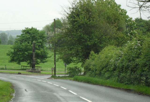
Tixall

Tixall is a small village and civil parish in the Stafford district, in the English county of Staffordshire lying on the western side of the Trent valley...
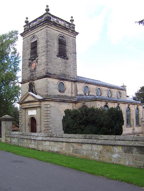
Ingestre

Ingestre is a village and civil parish in the Stafford district, in the county of Staffordshire, England. The population of the civil parish taken at the...
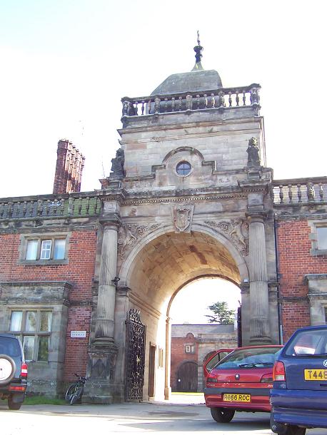
Tixall Gatehouse

Tixall Gatehouse is a 16th-century gatehouse situated at Tixall, near Stafford, Staffordshire and is all that remains of Tixall Hall which was demolished...

Nearby Amenities

Located within 500m of 52.812639,-2.0578192
Fords Belt
Naptan AtcoCode: 3800C745001
Naptan Bearing: NE
Naptan BusStopType: CUS
Naptan CommonName: Fords Belt
Naptan Indicator: Opp
Naptan Landmark: Fords Belt
Naptan Street: Hanyards Lane
Naptan Verified: no
Source: naptan_import
Lat/Long: 52.8151782/-2.0539789
Fords Belt
Naptan AtcoCode: 3800C745002
Naptan Bearing: SW
Naptan BusStopType: CUS
Naptan CommonName: Fords Belt
Naptan Indicator: Adj
Naptan Landmark: Fords Belt
Naptan Street: Hanyards Lane
Naptan Verified: no
Source: naptan_import
Lat/Long: 52.8152051/-2.0542015
The data included in this document is from www.openstreetmap.org. The data is made available under ODbL.

Have you been to Hanyards Spinney?

Leave your review of Hanyards Spinney below (or comments, questions and feedback).