Queen's Low
Heritage Site in Staffordshire Stafford
England
Queen's Low
Queen's Low is a significant heritage site located in Staffordshire, England. Situated on a gentle hilltop near the village of Cheadle, this ancient monument holds historical and cultural importance. The site consists of a well-preserved circular earthwork, known as a henge, dating back to the Late Neolithic period, approximately 5,000 years ago.
The henge at Queen's Low has a diameter of around 85 meters and is surrounded by a ditch and a bank, which were constructed using hand tools and simple engineering methods of the time. The ditch is about 8 meters wide and 1 meter deep, while the bank stands at roughly 5 meters wide and 1.5 meters high. These impressive earthworks highlight the skilled craftsmanship of our ancestors.
Excavations conducted at Queen's Low have unveiled various artifacts, including pottery fragments, flint tools, and animal bones. These findings provide valuable insights into the daily lives and practices of the people who inhabited the area during the Neolithic period. Additionally, several postholes discovered within the henge suggest the presence of wooden structures, possibly used for ceremonial or domestic purposes.
The site's strategic location affords panoramic views of the surrounding landscape, adding to its significance. The henge's purpose remains a subject of speculation, with theories ranging from it being a gathering place for religious ceremonies, a burial site, or an astronomical observatory.
Queen's Low, with its well-preserved earthworks and rich archaeological finds, stands as a testament to the ancient heritage of Staffordshire and offers a unique opportunity for visitors to explore and appreciate the ingenuity and culture of our ancestors.
If you have any feedback on the listing, please let us know in the comments section below.
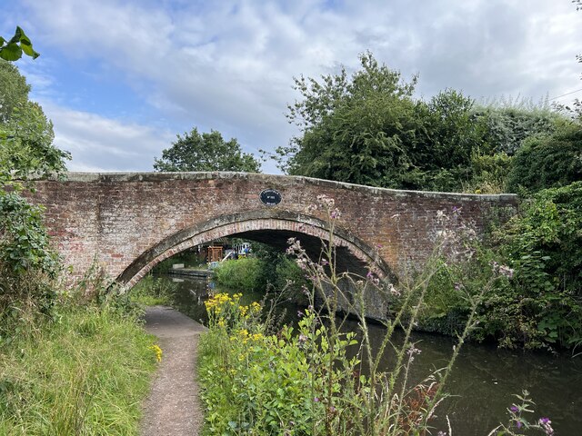
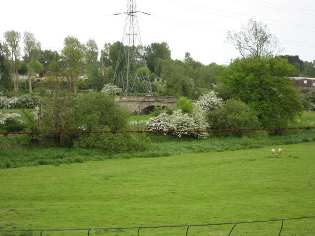
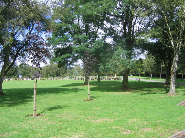
Queen's Low Images
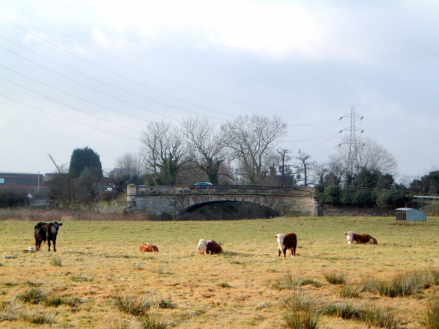
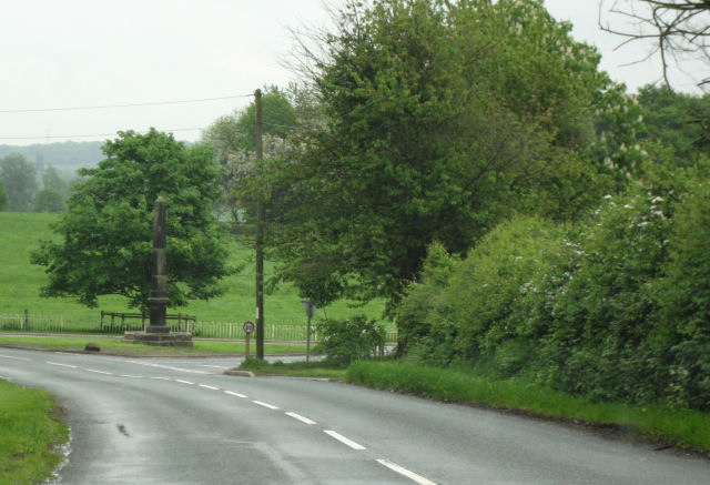
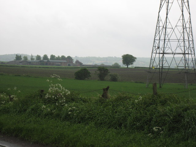
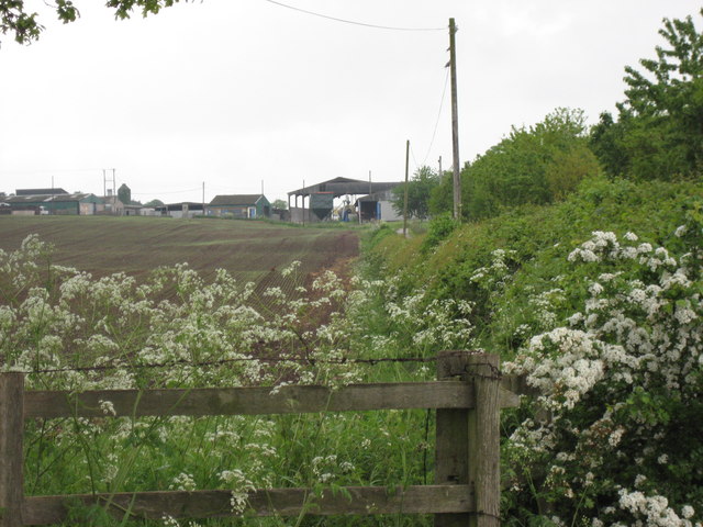
Images are sourced within 2km of 52.808/-2.052 or Grid Reference SJ9623. Thanks to Geograph Open Source API. All images are credited.
Queen's Low is located at Grid Ref: SJ9623 (Lat: 52.808, Lng: -2.052)
Administrative County: Staffordshire
District: Stafford
Police Authority: Staffordshire
What 3 Words
///zoom.risks.stands. Near Great Haywood, Staffordshire
Nearby Locations
Related Wikis

Tixall
Tixall is a small village and civil parish in the Stafford district, in the English county of Staffordshire lying on the western side of the Trent valley...

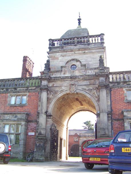
Tixall Gatehouse
Tixall Gatehouse is a 16th-century gatehouse situated at Tixall, near Stafford, Staffordshire and is all that remains of Tixall Hall which was demolished...

Priory of St. Thomas near Stafford
Priory of St. Thomas near Stafford was an Augustinian religious house near Stafford, Staffordshire, England. Founded sometime in approximately 1174, it...

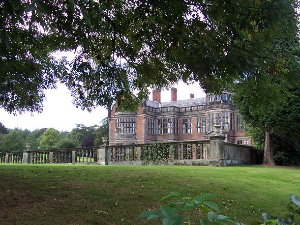
Ingestre Hall
Ingestre Hall is a Grade II* 17th-century Jacobean mansion situated at Ingestre, near Stafford, Staffordshire, England. Formerly the seat of the Earls...
Weston Road Academy
The Weston Road Academy (formerly Weston Road High School) is an academy school in Stafford, England. It provides secondary and further education for pupils...

Tixall Wide
Tixall Wide, also known as Tixall Broad or The Broad Water, is a body of water that forms part of the Staffordshire and Worcestershire Canal near Tixall...
Ingestre
Ingestre is a village and civil parish in the Stafford district, in the county of Staffordshire, England. The population of the civil parish taken at the...

Way for the Millennium
The Way for the Millennium is a 41-mile-long (66 km) east–west route across Staffordshire, deliberately designed for easy walking, using towpaths, old...
Related Videos

Product Preview: On Cloudwander & Cloudtrax Hiking Boots / Shoes | Run and Ride
On Cloudtrax Walking Boot // Designed for both street and mountain peak, this hiking boot is engineered to give you ideal comfort ...

He Called My Wife A Slag 😳 Hiking & Cooking Chinese Curry At Shugborough Estate 🥾🔥🍛
Welcome back .... In this episode I take you on a hike through the Shugborough Estate in Staffordshire. Along the way, I chat ...

Narrowboat Holidays - Hiring A Canal Boat In The UK | Quest Vlog #24
Ever wanted to hire a canal boat and take a leisurely cruise through the UK countryside? We asked Anglo Welsh, our favourite ...

SHUGBOROUGH ESTATE #nationaltrust#walking #explore #shrugburgh #daytrip #estate
The Shugborough Estate is a rich blend of landscape,monuments,gardens,and architecture shaped by travel and adventure.
Nearby Amenities
Located within 500m of 52.808,-2.052Have you been to Queen's Low?
Leave your review of Queen's Low below (or comments, questions and feedback).