Harry's Coppice

Wood, Forest in Dorset

England

Harry's Coppice

Direction Sign – Signpost near Rawston Farm, Tarrant Rawston Located in a Y junction near Rawston Farm, north of Tarrant Rushton in Tarrant Rawston parish. 4 arms and cap finial. 

Milestone Society National ID: DO_ST9406
Direction Sign – Signpost near Rawston Farm, Tarrant Rawston Credit: C Payne

Harry's Coppice is a picturesque woodland located in the county of Dorset, England. Situated near the village of Corfe Mullen, this woodland area covers an approximate area of 50 acres. The coppice is named after Harry, a local resident who played a significant role in its preservation and management.

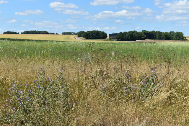
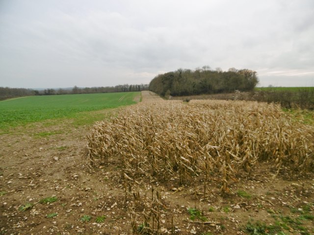
The woodland is primarily composed of oak and beech trees, which provide a vibrant and diverse habitat for numerous flora and fauna species. A dense understory of ferns, bluebells, and wild garlic adds to the natural beauty of the area. The wood is well-known for its rich biodiversity, with a variety of birds, butterflies, and small mammals making it their home.

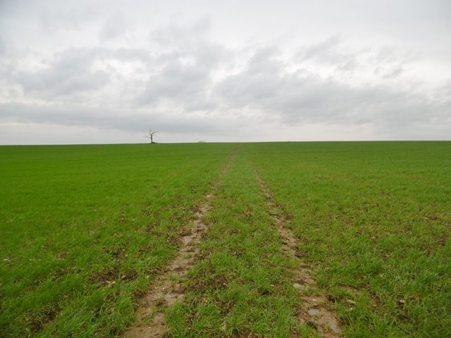
Harry's Coppice attracts nature enthusiasts, hikers, and photographers alike, as it offers a tranquil and serene escape from the bustle of urban life. Visitors can explore the woodland through a network of well-maintained footpaths, allowing them to immerse themselves in the natural surroundings.

In addition to its natural beauty, the coppice also holds historical significance. The area was traditionally used for coppicing, an ancient method of woodland management where trees were regularly cut to promote new growth. This practice provided a sustainable source of timber for various local industries.

Today, Harry's Coppice is managed by a dedicated team of volunteers who work to preserve its natural heritage and promote its educational value. Regular events and workshops are organized to engage the local community and raise awareness about the importance of woodland conservation.

Overall, Harry's Coppice stands as a testament to the beauty and ecological importance of Dorset's woodlands, offering visitors a chance to connect with nature and appreciate the wonders of the natural world.

If you have any feedback on the listing, please let us know in the comments section below.

Harry's Coppice Images

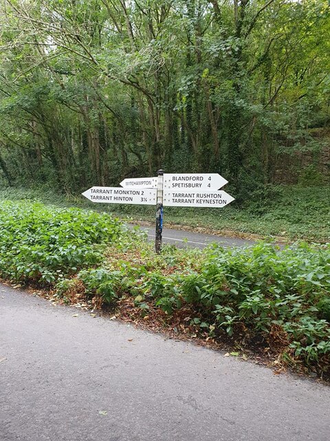
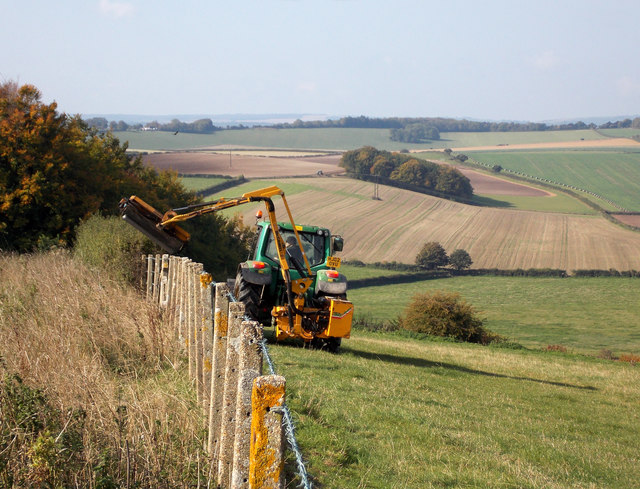
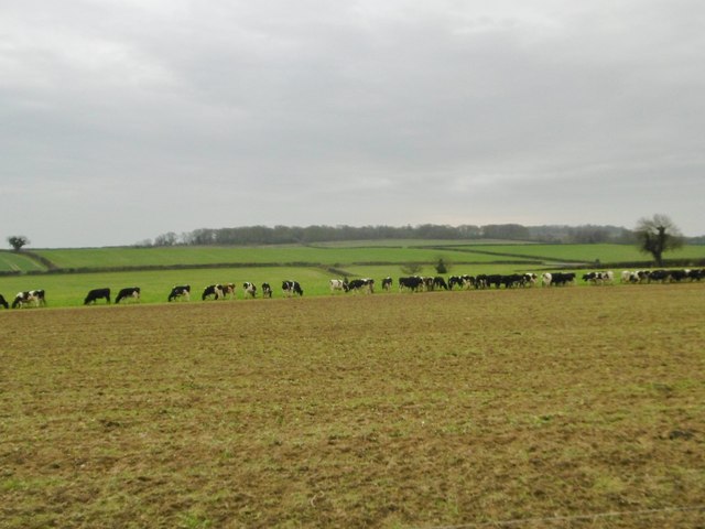
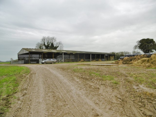
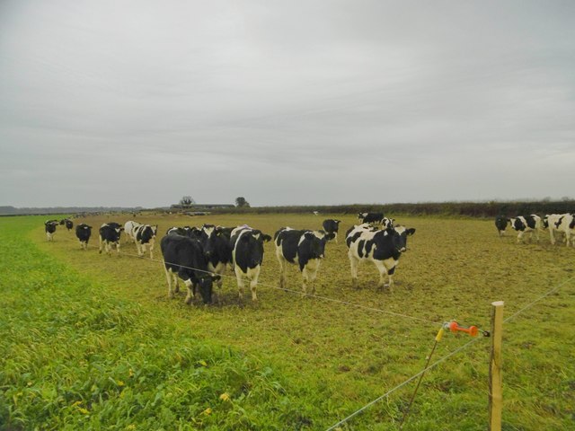
Images are sourced within 2km of 50.859815/-2.0553597 or Grid Reference ST9606. Thanks to Geograph Open Source API. All images are credited.

Direction Sign – Signpost near Rawston Farm, Tarrant Rawston Located in a Y junction near Rawston Farm, north of Tarrant Rushton in Tarrant Rawston parish. 4 arms and cap finial. 

Milestone Society National ID: DO_ST9406
Direction Sign – Signpost near Rawston Farm, Tarrant Rawston
Located in a Y junction near Rawston Farm, north of Tarrant Rushton in Tarrant Rawston parish. 4 arms and cap finial. Milestone Society National ID: DO_ST9406
Disused taxiway, former Tarrant Rushton Airfield Although the runways have been removed, substantial concrete road and taxiways remain around the perimeter of the site.
Disused taxiway, former Tarrant Rushton Airfield
Although the runways have been removed, substantial concrete road and taxiways remain around the perimeter of the site.
Former hangar, Tarrant Rushton Airfield Several former airfield buildings remain, now in agricultural or light industrial use.
Former hangar, Tarrant Rushton Airfield
Several former airfield buildings remain, now in agricultural or light industrial use.
View across former Tarrant Rushton Airfield The airfield site is now primarily arable farmland. A former hangar is just visible in the trees.
View across former Tarrant Rushton Airfield
The airfield site is now primarily arable farmland. A former hangar is just visible in the trees.
Former hangar, Tarrant Rushton Airfield Several former airfield buildings remain, now in agricultural or light industrial use.
Former hangar, Tarrant Rushton Airfield
Several former airfield buildings remain, now in agricultural or light industrial use.
Runway detail, Tarrant Rushton Airfield I believe these were former runway light fittings.
Runway detail, Tarrant Rushton Airfield
I believe these were former runway light fittings.
Harvest home near Witchampton The hay has been stacked on a beautiful mid-September afternoon.
Harvest home near Witchampton
The hay has been stacked on a beautiful mid-September afternoon.
Modern day hedge trimming Hedge trimming near The Cliff.
Modern day hedge trimming
Hedge trimming near The Cliff.
Witchampton, cattle grazing The heifers are feeding next to the fence, where they have just been given supplementary feed.
Witchampton, cattle grazing
The heifers are feeding next to the fence, where they have just been given supplementary feed.
Witchampton, barn
Witchampton, barn
Witchampton, cattle grazing Expectant heifers, obviously used to supplementary feed at this time of day; see also <a href="https://www.geograph.org.uk/photo/4768390">ST9604 : Witchampton, cattle grazing</a>, when it arrived.
Witchampton, cattle grazing
Expectant heifers, obviously used to supplementary feed at this time of day; see also ST9604 : Witchampton, cattle grazing, when it arrived.
Witchampton, gate On the bridleway to the village; currently disused, but presumably useful when the electric fence is reinstalled.
Witchampton, gate
On the bridleway to the village; currently disused, but presumably useful when the electric fence is reinstalled.
Witchampton, bridleway Bridleway and farm road, towards Wimborne Road.
Witchampton, bridleway
Bridleway and farm road, towards Wimborne Road.
Tarrant Monkton, trough Currently not in use, as the field is arable.
Tarrant Monkton, trough
Currently not in use, as the field is arable.
Tarrant Monkton, gateway Into Horse Coppice.
Tarrant Monkton, gateway
Into Horse Coppice.
Tarrant Monkton, maize stubble Many local fields have strips of maize left unploughed, as coverts for game birds.
Tarrant Monkton, maize stubble
Many local fields have strips of maize left unploughed, as coverts for game birds.
Tarrant Monkton, bridleway Across Little Down towards the village. Tractor marks define the path; the legal route seems to deviate slightly.
Tarrant Monkton, bridleway
Across Little Down towards the village. Tractor marks define the path; the legal route seems to deviate slightly.
Show me another place!

Harry's Coppice is located at Grid Ref: ST9606 (Lat: 50.859815, Lng: -2.0553597)

Unitary Authority: Dorset

Police Authority: Dorset

What 3 Words

///jiggle.shameless.isolating. Near Pimperne, Dorset

Related Wikis

Bryanston SSSI, Dorset

Bryanston SSSI (grid reference ST974070) is a 0.3 hectare biological Site of Special Scientific Interest in Dorset, England notified in 1977. It is used...
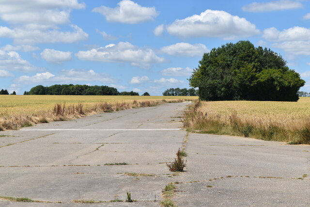
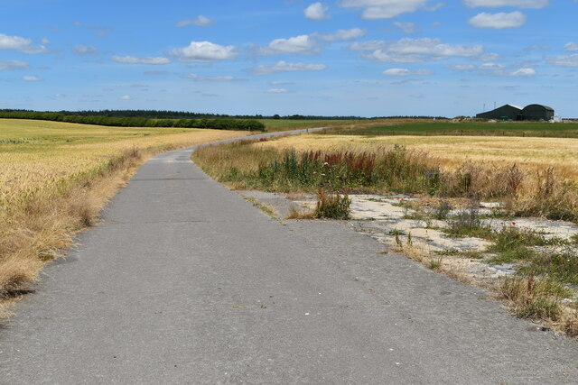
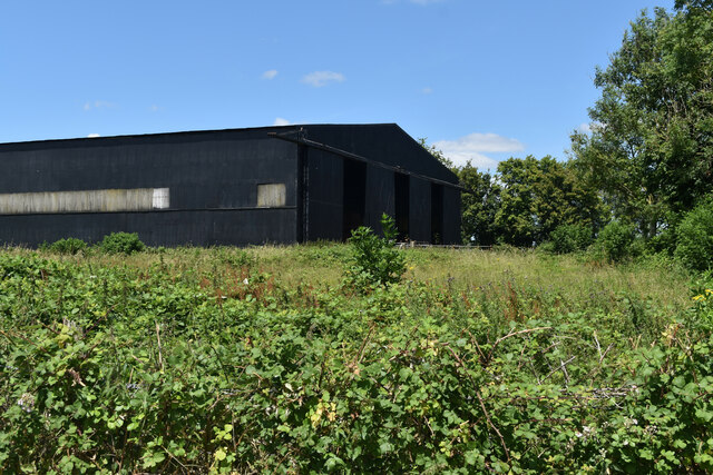
RAF Tarrant Rushton

Royal Air Force Tarrant Rushton or more simply RAF Tarrant Rushton is a former Royal Air Force station near the village of Tarrant Rushton east of Blandford...

Tarrant Rawston

Tarrant Rawston is a hamlet and civil parish in the county of Dorset in southern England. It is named after the River Tarrant which flows through the parish...

Tarrant Rushton

Tarrant Rushton is a village and civil parish in north Dorset, England. The village is situated in the Tarrant Valley about three miles (five kilometres...

Related Videos

Glamping and Chill

london #londonlife #london #adventure #camping #glamping #nature #secretlondon #fujifilmphotography #fujifilm_xseries ...

White mill bridge #hobby #wimborne #dorset #droneview #dronephotography #foryou #fyp #dji #djimini3

wimborneminster # Wimborne from above a view around the town #hobby #dorset #dronephotography #droneview #dji #djimini3 ...

Have you been to Harry's Coppice?

Leave your review of Harry's Coppice below (or comments, questions and feedback).