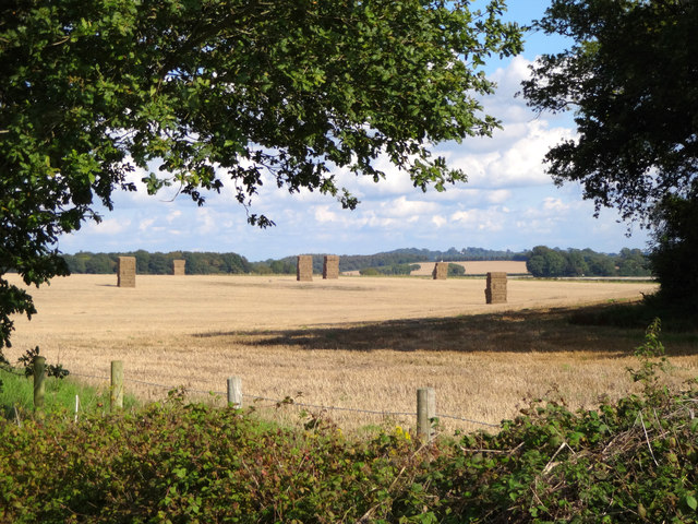
Bratch Coppice

Wood, Forest in Dorset

England

Bratch Coppice

Disused taxiway, former Tarrant Rushton Airfield Although the runways have been removed, substantial concrete road and taxiways remain around the perimeter of the site.
Disused taxiway, former Tarrant Rushton Airfield Credit: David Martin

The requested URL returned error: 429 Too Many Requests

If you have any feedback on the listing, please let us know in the comments section below.

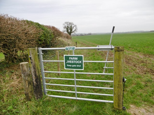
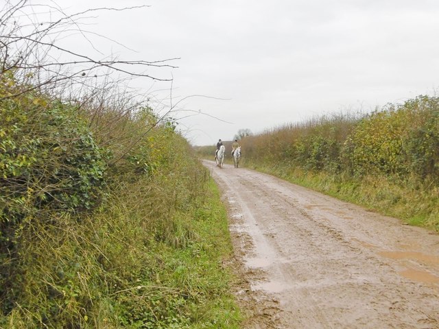
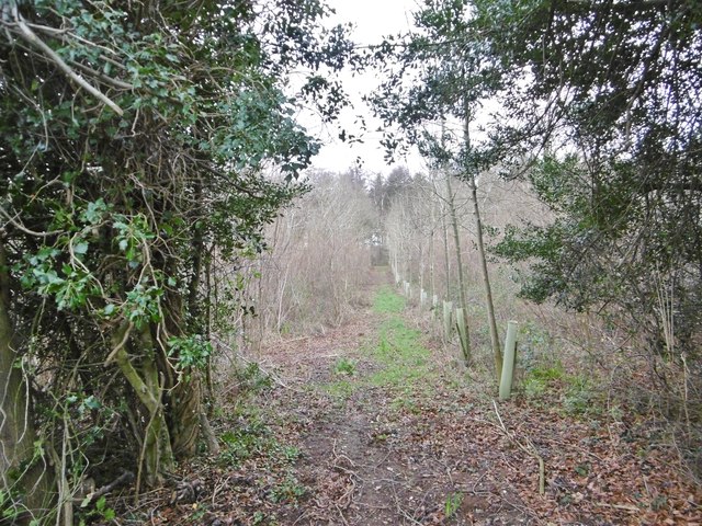
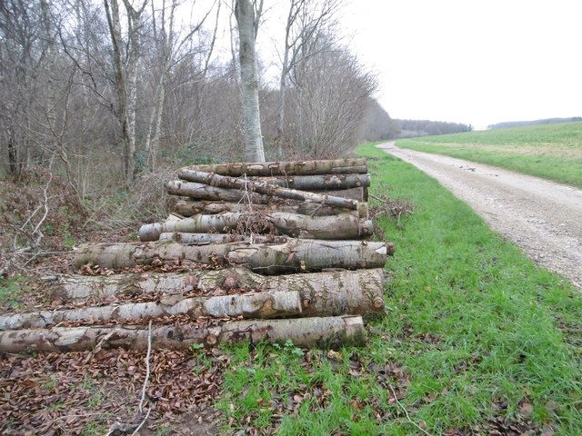
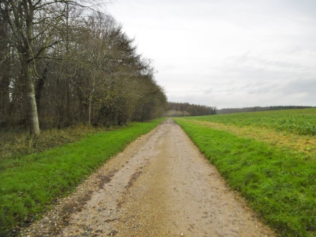
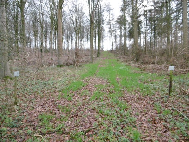
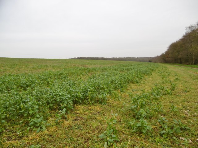
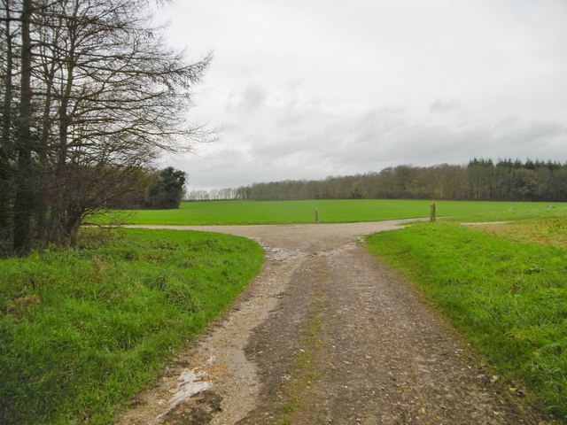
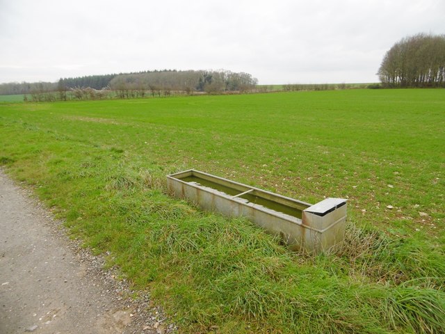
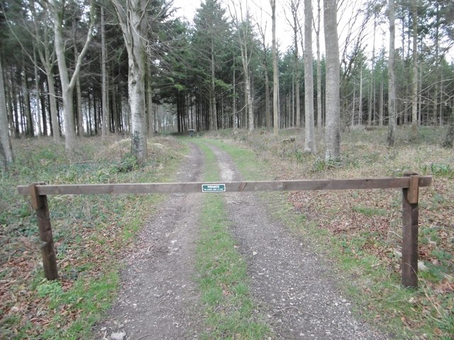
Bratch Coppice Images

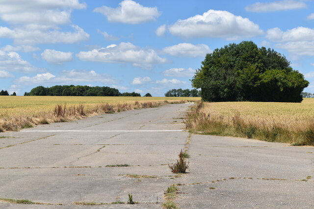
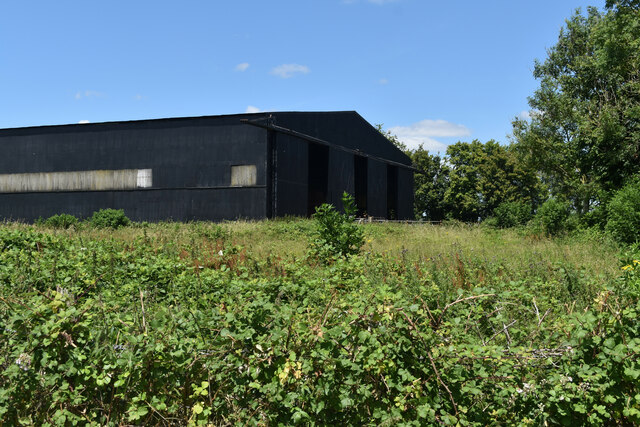
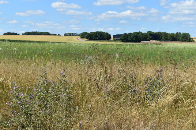
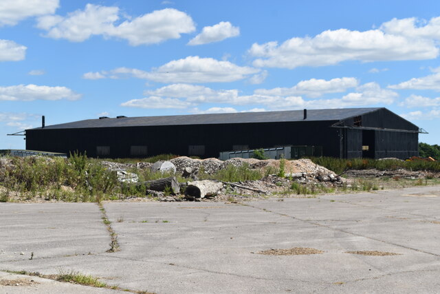
Images are sourced within 2km of 50.862109/-2.0536147 or Grid Reference ST9606. Thanks to Geograph Open Source API. All images are credited.

Disused taxiway, former Tarrant Rushton Airfield Although the runways have been removed, substantial concrete road and taxiways remain around the perimeter of the site.
Disused taxiway, former Tarrant Rushton Airfield
Although the runways have been removed, substantial concrete road and taxiways remain around the perimeter of the site.
Former hangar, Tarrant Rushton Airfield Several former airfield buildings remain, now in agricultural or light industrial use.
Former hangar, Tarrant Rushton Airfield
Several former airfield buildings remain, now in agricultural or light industrial use.
View across former Tarrant Rushton Airfield The airfield site is now primarily arable farmland. A former hangar is just visible in the trees.
View across former Tarrant Rushton Airfield
The airfield site is now primarily arable farmland. A former hangar is just visible in the trees.
Former hangar, Tarrant Rushton Airfield Several former airfield buildings remain, now in agricultural or light industrial use.
Former hangar, Tarrant Rushton Airfield
Several former airfield buildings remain, now in agricultural or light industrial use.
Runway detail, Tarrant Rushton Airfield I believe these were former runway light fittings.
Runway detail, Tarrant Rushton Airfield
I believe these were former runway light fittings.
Harvest home near Witchampton The hay has been stacked on a beautiful mid-September afternoon.
Harvest home near Witchampton
The hay has been stacked on a beautiful mid-September afternoon.
Modern day hedge trimming Hedge trimming near The Cliff.
Modern day hedge trimming
Hedge trimming near The Cliff.
Witchampton, cattle grazing Expectant heifers, obviously used to supplementary feed at this time of day; see also <a href="https://www.geograph.org.uk/photo/4768390">ST9604 : Witchampton, cattle grazing</a>, when it arrived.
Witchampton, cattle grazing
Expectant heifers, obviously used to supplementary feed at this time of day; see also ST9604 : Witchampton, cattle grazing, when it arrived.
Witchampton, gate On the bridleway to the village; currently disused, but presumably useful when the electric fence is reinstalled.
Witchampton, gate
On the bridleway to the village; currently disused, but presumably useful when the electric fence is reinstalled.
Witchampton, bridleway Bridleway and farm road, towards Wimborne Road.
Witchampton, bridleway
Bridleway and farm road, towards Wimborne Road.
Manswood, Strawberry Coppice The eastern end of the coppice is still used for timber production - note the tree tubes.
Manswood, Strawberry Coppice
The eastern end of the coppice is still used for timber production - note the tree tubes.
Manswood, timber Birch trunks from Strawberry Coppice awaiting collection by the roadside.
Manswood, timber
Birch trunks from Strawberry Coppice awaiting collection by the roadside.
Manswood, bridleway Bridleway and farm road, between Strawberry Coppice (left) and farmland, towards Tarrant Monkton.
Manswood, bridleway
Bridleway and farm road, between Strawberry Coppice (left) and farmland, towards Tarrant Monkton.
Manswood, forestry track Into Strawberry Coppice. Note the number posts for different parcels of woodland.
Manswood, forestry track
Into Strawberry Coppice. Note the number posts for different parcels of woodland.
Manswood, rape field On Horse Down. A few plants are unseasonably in flower.
Manswood, rape field
On Horse Down. A few plants are unseasonably in flower.
Manswood, bridleway junction Left, to Tarrant Monkton; right, to Tarrant Launceston.
Manswood, bridleway junction
Left, to Tarrant Monkton; right, to Tarrant Launceston.
Tarrant Monkton, trough Currently not in use, as the field is arable.
Tarrant Monkton, trough
Currently not in use, as the field is arable.
Tarrant Monkton, gateway Into Horse Coppice.
Tarrant Monkton, gateway
Into Horse Coppice.
Show me another place!

Bratch Coppice is located at Grid Ref: ST9606 (Lat: 50.862109, Lng: -2.0536147)

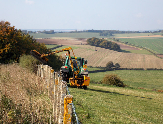
Unitary Authority: Dorset

Police Authority: Dorset

What 3 Words

///grounding.amplifier.cones. Near Pimperne, Dorset

Related Wikis

Bryanston SSSI, Dorset

Bryanston SSSI (grid reference ST974070) is a 0.3 hectare biological Site of Special Scientific Interest in Dorset, England notified in 1977. It is used...
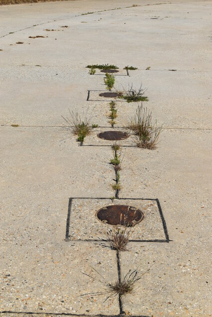
RAF Tarrant Rushton

Royal Air Force Tarrant Rushton or more simply RAF Tarrant Rushton is a former Royal Air Force station near the village of Tarrant Rushton east of Blandford...

Tarrant Rawston

Tarrant Rawston is a hamlet and civil parish in the county of Dorset in southern England. It is named after the River Tarrant which flows through the parish...

Witchampton

Witchampton is a village and civil parish in East Dorset, England, situated on the River Allen 5 miles (8 km) north of Wimborne Minster. The 2011 census...

Nearby Amenities

Located within 500m of 50.862109,-2.0536147
Dean Hill
Ele: 55
Natural: peak
Lat/Long: 50.8617857/-2.0475428
The data included in this document is from www.openstreetmap.org. The data is made available under ODbL.

Have you been to Bratch Coppice?

Leave your review of Bratch Coppice below (or comments, questions and feedback).