Crockerton Firs

Wood, Forest in Wiltshire

England

Crockerton Firs

Downside Garage
Downside Garage Credit: Roger Cornfoot

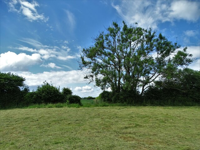
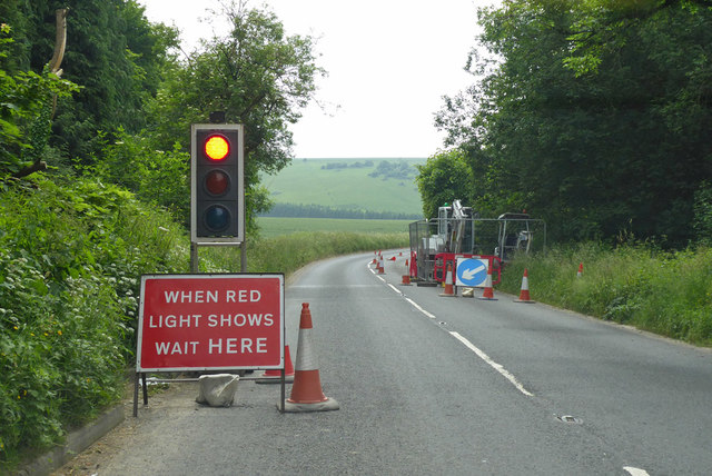
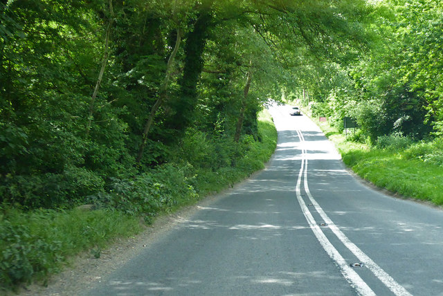
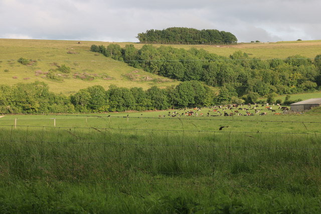
Crockerton Firs is a picturesque woodland located in Wiltshire, England. The forest is known for its dense population of fir trees, which give the area its name. The forest is a popular destination for hikers, nature enthusiasts, and birdwatchers due to its diverse range of plant and animal species.

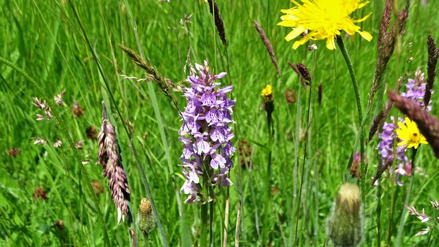
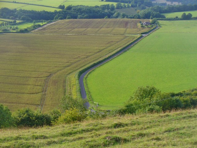
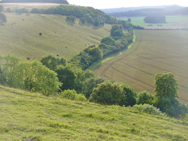
Crockerton Firs covers a vast area of land, providing plenty of opportunities for exploration and outdoor activities. The forest is home to a variety of wildlife, including deer, squirrels, and numerous species of birds. Visitors may also come across rare plants and flowers while wandering through the woodland.

The forest features well-maintained trails and paths for visitors to follow, making it easy to navigate and enjoy the natural beauty of the area. There are also picnic areas and benches scattered throughout the forest, providing the perfect spot to relax and take in the peaceful surroundings.

Overall, Crockerton Firs is a tranquil and scenic woodland that offers a welcome escape from the hustle and bustle of everyday life. Its natural beauty and diverse wildlife make it a must-visit destination for anyone seeking to connect with nature.

If you have any feedback on the listing, please let us know in the comments section below.

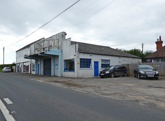
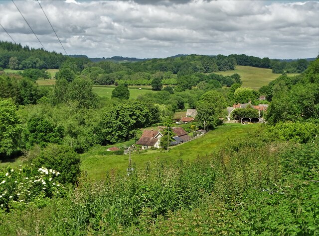
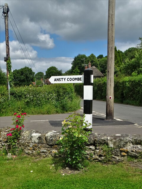
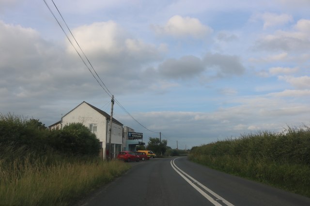
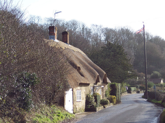
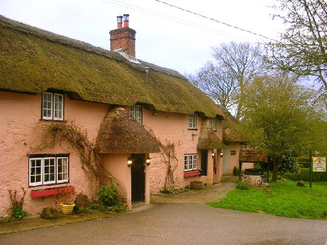
Crockerton Firs Images

Images are sourced within 2km of 51.02398/-2.0538306 or Grid Reference ST9624. Thanks to Geograph Open Source API. All images are credited.

Downside Garage
Downside Garage
Between Swallowcliffe and Ansty Following a designated but little used footpath over farmland
Between Swallowcliffe and Ansty
Following a designated but little used footpath over farmland
A view of Ansty
A view of Ansty
Signpost in Ansty As you can see, it points the way to Ansty Coombe
Signpost in Ansty
As you can see, it points the way to Ansty Coombe
Common spotted orchid (dactylorhiza fuchsii) Growing in a Wiltshire meadow west of Ansty
Common spotted orchid (dactylorhiza fuchsii)
Growing in a Wiltshire meadow west of Ansty
Wiltshire Downland Anstey Coombe from Middle Down.
Wiltshire Downland
Anstey Coombe from Middle Down.
Ansty Down Chalk grassland hills with cultivated fields at their feet.
Ansty Down
Chalk grassland hills with cultivated fields at their feet.
Alvediston Church St Mary's is a Grade II listed building. It was rebuilt in 1866 by T.H. Wyatt using elements from an earlier 12th century church.
Alvediston Church
St Mary's is a Grade II listed building. It was rebuilt in 1866 by T.H. Wyatt using elements from an earlier 12th century church.
A30 road works, Swallowcliffe A lengthy trenching operation was in hand, although it was all deserted on a Sunday.
A30 road works, Swallowcliffe
A lengthy trenching operation was in hand, although it was all deserted on a Sunday.
End of A30 road works, Swallowcliffe The back of lights at the end of a lengthy trenching operation - see <a href="https://www.geograph.org.uk/photo/5805469">ST9726 : A30 road works, Swallowcliffe</a> for the other end. Luckily the road is not very busy.
End of A30 road works, Swallowcliffe
The back of lights at the end of a lengthy trenching operation - see ST9726 : A30 road works, Swallowcliffe for the other end. Luckily the road is not very busy.
A30 heading west Near Ansty.
A30 heading west
Near Ansty.
A30 heading west In the parish of Ansty.
A30 heading west
In the parish of Ansty.
Old Milestone by the A30,  Swallowcliffe Parish Sarum shaston triangle by the A30, in parish of Swallowcliffe (Salisbury District), 100m East of Westerly garage, on verge, by the road.

Inscription once read:- : (Shaftesbury / 7 / Salisbury / 13) :
(Carved bench mark)

Damaged and may be lost

Milestone Society National ID: WI_SHSA07
Old Milestone by the A30, Swallowcliffe Parish
Sarum shaston triangle by the A30, in parish of Swallowcliffe (Salisbury District), 100m East of Westerly garage, on verge, by the road. Inscription once read:- : (Shaftesbury / 7 / Salisbury / 13) : (Carved bench mark) Damaged and may be lost Milestone Society National ID: WI_SHSA07
Old Milestone by the A30, west of Ansty Carved stone post by the A30, in parish of Ansty (Salisbury District), 50m East and opposite entrance to Ansty Farm Shop, on the verge, on North side of road. Sarum shaston triangle, erected by the Whitesheet turnpike trust in the 19th century. 

Inscription reads:-
: To / Sarum / XIV : : To / Shaston / VI :   
Rivet benchmark on top.

Grade II listed.
List Entry Number: 1318676 <span class="nowrap"><a title="https://historicengland.org.uk/listing/the-list/list-entry/1318676" rel="nofollow ugc noopener" href="https://historicengland.org.uk/listing/the-list/list-entry/1318676">Link</a><img style="margin-left:2px;" alt="External link" title="External link - shift click to open in new window" src="https://s1.geograph.org.uk/img/external.png" width="10" height="10"/></span>

Milestone Society National ID: WI_SHSA06
Old Milestone by the A30, west of Ansty
Carved stone post by the A30, in parish of Ansty (Salisbury District), 50m East and opposite entrance to Ansty Farm Shop, on the verge, on North side of road. Sarum shaston triangle, erected by the Whitesheet turnpike trust in the 19th century. Inscription reads:- : To / Sarum / XIV : : To / Shaston / VI : Rivet benchmark on top. Grade II listed. List Entry Number: 1318676 LinkExternal link Milestone Society National ID: WI_SHSA06
White Sheet Hill, Donhead St Andrew The cows live at Horwood Dairy Farm
White Sheet Hill, Donhead St Andrew
The cows live at Horwood Dairy Farm
Grassland by the A30 near Ansty
Ashton's Garage, Ansty
The A30, Ansty
The A30, Ansty
Show me another place!

Crockerton Firs is located at Grid Ref: ST9624 (Lat: 51.02398, Lng: -2.0538306)

Unitary Authority: Wiltshire

Police Authority: Wiltshire

What 3 Words

///dated.skippers.taxed. Near Ansty, Wiltshire

Nearby Locations

Crockerton Firs

Related Wikis

Gallows Hill SSSI, Wiltshire

Gallows Hill SSSI is a Site of Special Scientific Interest on the north side of the Ebble Valley in south Wiltshire, England. Its chalk grassland and scrub...

Ansty, Wiltshire

Ansty is a small village and civil parish in southwest Wiltshire, England, about 6 miles (10 km) east of Shaftesbury. The village is just north of the...

Alvediston

Alvediston is a small village and civil parish in Wiltshire, England, about 7 miles (11 km) east of Shaftesbury and 11 miles (18 km) southwest of Salisbury...

Ansty Coombe

Ansty Coombe is a hamlet in Ansty parish, in southwest Wiltshire, England. It lies about six miles (10 km) east of Shaftesbury, Dorset. == Sources... ==
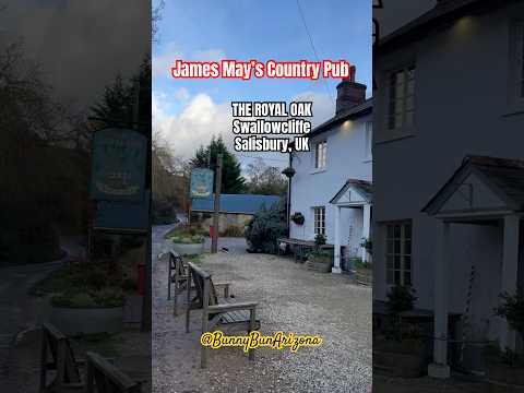
Related Videos

Haven (Salisbury), Stonehenge, The Royal Oak (Swallowcliffe) - 2021 UK Road Trip

Our Chief Mobile Opinionist, Matteo, and his partner Candice continue their 2021 UK Toad Trip and stay at The Royal Oak in ...

WE PROBABLY SHOULDN’T SHARE THIS | Cranborne Chase AONB

Welcome back friends! This week we're down towards the southern coast of England exploring another beautiful part of the ...

Nearby Amenities

Located within 500m of 51.02398,-2.0538306
Man Made: mast
Lat/Long: 51.0253437/-2.0511146
The data included in this document is from www.openstreetmap.org. The data is made available under ODbL.

Have you been to Crockerton Firs?

Leave your review of Crockerton Firs below (or comments, questions and feedback).