Tivetshall St. Mary

Civil Parish in Norfolk South Norfolk

England

Tivetshall St. Mary

Turnpike Cottage on the A140 The cottage was originally a crossing gate-keeper's cottage on the Waveney Valley Railway.
The line crossed the A140, designated crossing No 8, and passed on the right side of the cottage on its way to Tivetshall Station.
Turnpike Cottage on the A140 Credit: Adrian S Pye

Tivetshall St. Mary is a civil parish located in the county of Norfolk, England. Situated approximately 15 miles south of Norwich, it lies within the South Norfolk district. The parish covers an area of about 8 square miles and is home to a population of around 600 residents.

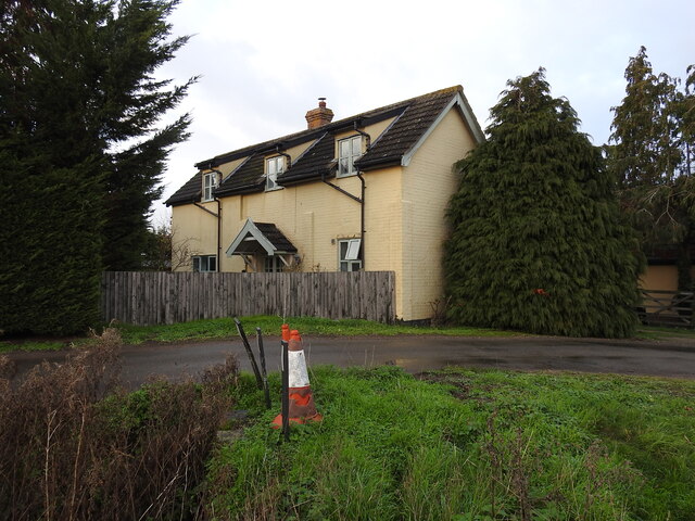
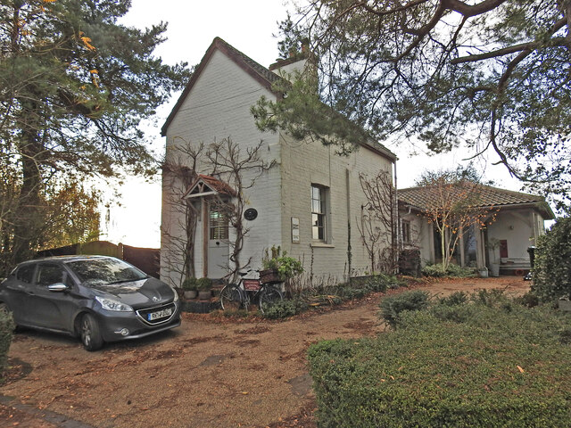
The village of Tivetshall St. Mary is a picturesque settlement with a rich history dating back to medieval times. It is characterized by its charming thatched cottages and traditional architecture, providing a glimpse into the region's rural past. The village is known for its close-knit community and strong sense of local identity.

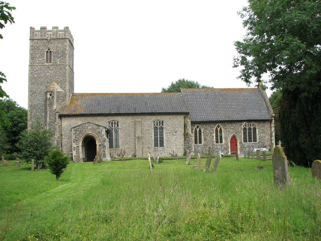
The parish boasts a range of amenities and services for its residents, including a primary school, village hall, and a parish church dedicated to St. Mary. The church, with its striking tower, is an important historical landmark and a focal point for community events and religious activities.

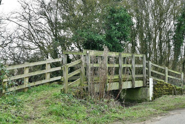
Surrounded by beautiful countryside, Tivetshall St. Mary offers plenty of opportunities for outdoor pursuits and leisure activities. The area is crisscrossed by footpaths and bridleways, making it an ideal destination for walkers, cyclists, and horse riders.

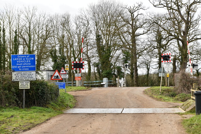
Despite its small size, Tivetshall St. Mary has good transport connections, with easy access to the A140 road and regular bus services connecting it to nearby towns and villages. This convenient location allows residents to enjoy the tranquility of rural life while still being within reach of urban amenities.

Overall, Tivetshall St. Mary is a charming and historic village nestled in the Norfolk countryside, offering its residents a peaceful and community-oriented way of life.

If you have any feedback on the listing, please let us know in the comments section below.

Tivetshall St. Mary Images

Images are sourced within 2km of 52.422048/1.189723 or Grid Reference TM1685. Thanks to Geograph Open Source API. All images are credited.

Turnpike Cottage on the A140 The cottage was originally a crossing gate-keeper's cottage on the Waveney Valley Railway.
The line crossed the A140, designated crossing No 8, and passed on the right side of the cottage on its way to Tivetshall Station.
Turnpike Cottage on the A140
The cottage was originally a crossing gate-keeper's cottage on the Waveney Valley Railway. The line crossed the A140, designated crossing No 8, and passed on the right side of the cottage on its way to Tivetshall Station.
The location of the former railway crossing #8 on the A140 The former gatekeeper's cottage <a href="https://www.geograph.org.uk/photo/7355802">TM1886 : Turnpike Cottage on the A140</a>
The location of the former railway crossing #8 on the A140
The former gatekeeper's cottage TM1886 : Turnpike Cottage on the A140
Star Gatehouse, The former crossing keeper's cottage Located on Star Lane, Tivetshall the crossing was designated the number 7.
Star Gatehouse, The former crossing keeper's cottage
Located on Star Lane, Tivetshall the crossing was designated the number 7.
Location of crossing #7 on Star Lane The line was embanked and ran over the highest point of the road where the wooden fence can be seen between the evergreen trees.
The crossing keeper's cottage <a href="https://www.geograph.org.uk/photo/7355816">TM1786 : Star Gatehouse, The former crossing keeper's cottage</a>
Location of crossing #7 on Star Lane
The line was embanked and ran over the highest point of the road where the wooden fence can be seen between the evergreen trees. The crossing keeper's cottage TM1786 : Star Gatehouse, The former crossing keeper's cottage
Looking back from Star Lane crossing to the A140 crossing The line once crossed from near the cottage on the horizon to this point on the Star Lane crossing across the sugarbeet field.
Looking back from Star Lane crossing to the A140 crossing
The line once crossed from near the cottage on the horizon to this point on the Star Lane crossing across the sugarbeet field.
Former course of the railway track The track ran along the line of the hedge to the gatekeeper's cottage on Green Lane.
Former course of the railway track
The track ran along the line of the hedge to the gatekeeper's cottage on Green Lane.
Location of railway crossing number 6 on Green Lane The car is standing on the exact location of the former railway crossing in Green Lane, Tivetshall. The gatekeeper's cottage is on the right.
Location of railway crossing number 6 on Green Lane
The car is standing on the exact location of the former railway crossing in Green Lane, Tivetshall. The gatekeeper's cottage is on the right.
The former crossing keeper's cottage on Green Lane Crossing House is a fine example of the original appearance of the cottages built as gatekeeper's cottages on the Waveney Valley Railway.
The railway track passed on the far side of the house.
The former crossing keeper's cottage on Green Lane
Crossing House is a fine example of the original appearance of the cottages built as gatekeeper's cottages on the Waveney Valley Railway. The railway track passed on the far side of the house.
Tivetshall St Margaret: Footbridge over a stream
Tivetshall St Margaret: Footbridge over a stream (detail)
Gissing: 'Bridge View' and 'Arch Cottage'
Gissing: Sign Post
Gissing: Sign Post
Gissing: The Old Rectory
Gissing: Approach to Grove Farm
Gissing: Railway line
Gissing: Grove Road Level Crossing
Show me another place!

Tivetshall St. Mary is located at Grid Ref: TM1685 (Lat: 52.422048, Lng: 1.189723)

Administrative County: Norfolk

District: South Norfolk

Police Authority: Norfolk

What 3 Words

///pacemaker.noon.renewals. Near Dickleburgh, Norfolk

Related Wikis

Tivetshall St Mary

Tivetshall St Mary is a village and former civil parish, now in the parish of Tivetshall, in the South Norfolk district in the county of Norfolk, England...

Tivetshall

Tivetshall is a civil parish in the South Norfolk district, in the county of Norfolk, England. The parish includes the villages of Tivetshall St Margaret...

Tivetshall St Margaret

Tivetshall St Margaret is a village and former civil parish, now in the parish of Tivetshall, in the South Norfolk district, in the county of Norfolk,...

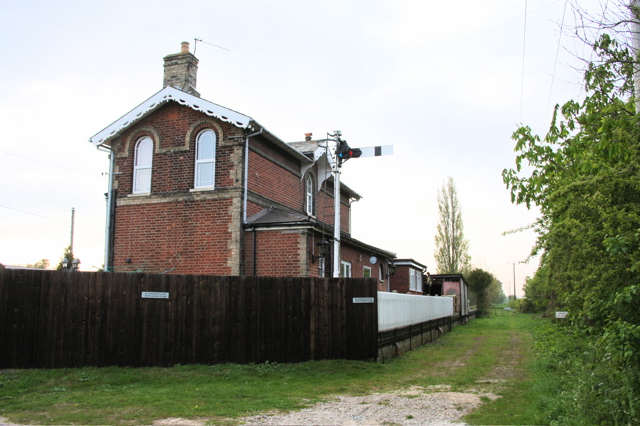
Pulham Market railway station

Pulham Market (originally Pulham St Magdalene) was a railway station on the Waveney Valley Line in Norfolk, England. It was closed for passengers in 1953...

Nearby Amenities

Located within 500m of 52.422048,1.189723
Access: agricultural
Barrier: swing_gate
Bicycle: yes
Foot: yes
Horse: yes
Note: Gate is usually open
Lat/Long: 52.4195495/1.1846358
Communication Mobile Phone: yes
Man Made: mast
Material: metal
Operator: EE
Tower Construction: lattice
Tower Type: communication
Lat/Long: 52.4186559/1.1917515
Give Way
Lat/Long: 52.4249012/1.1933054
Give Way
Lat/Long: 52.4194377/1.1848906
Give Way
Lat/Long: 52.419615/1.1850323
Waste Basket
Waste: dog_excrement
Lat/Long: 52.4195471/1.1849505
The data included in this document is from www.openstreetmap.org. The data is made available under ODbL.

Have you been to Tivetshall St. Mary?

Leave your review of Tivetshall St. Mary below (or comments, questions and feedback).