Thorp Arch
Civil Parish in Yorkshire Leeds
England
Thorp Arch
Thorp Arch is a civil parish located in the county of Yorkshire, England. Situated approximately 10 miles northeast of the city of Leeds, the parish covers an area of around 4.5 square miles. It is part of the larger district of Leeds and falls within the West Yorkshire region.
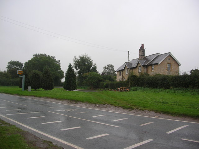
The village of Thorp Arch is primarily known for its historical significance and picturesque surroundings. It is home to the renowned Thorp Arch Estate, a Georgian country house that dates back to the 18th century. The estate was once the residence of the Archbishop of York and has since been converted into offices and residential properties.
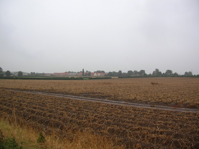
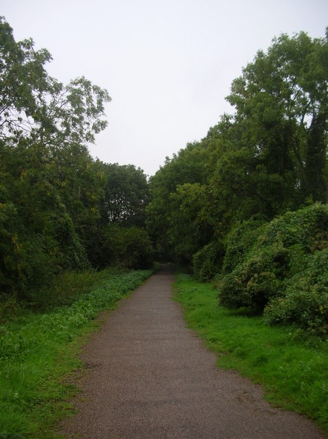
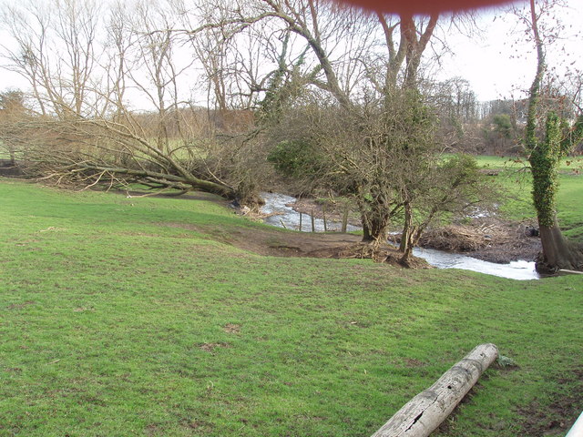
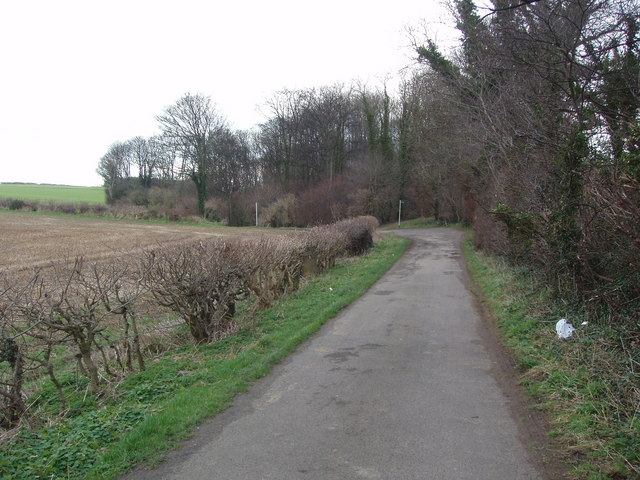
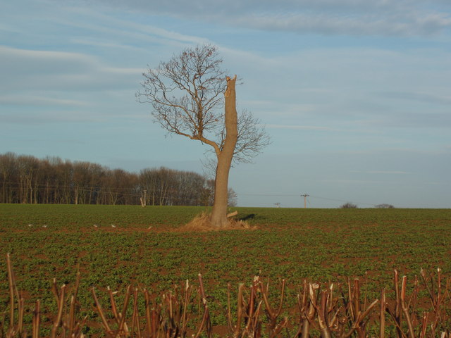
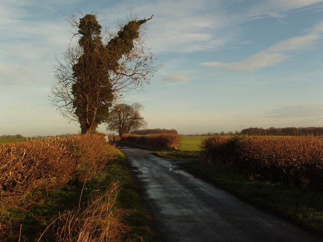
Aside from its historical architecture, Thorp Arch is also recognized for its natural beauty. The surrounding countryside offers a peaceful and idyllic setting, making it an appealing destination for nature lovers and outdoor enthusiasts. The village is located near the River Wharfe, providing opportunities for fishing and walking along its banks.
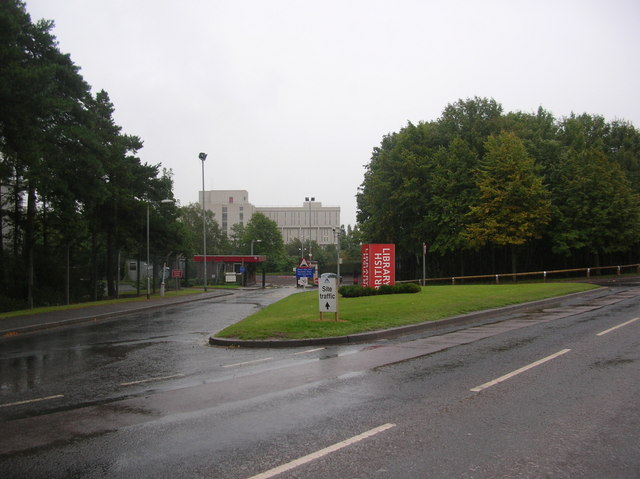
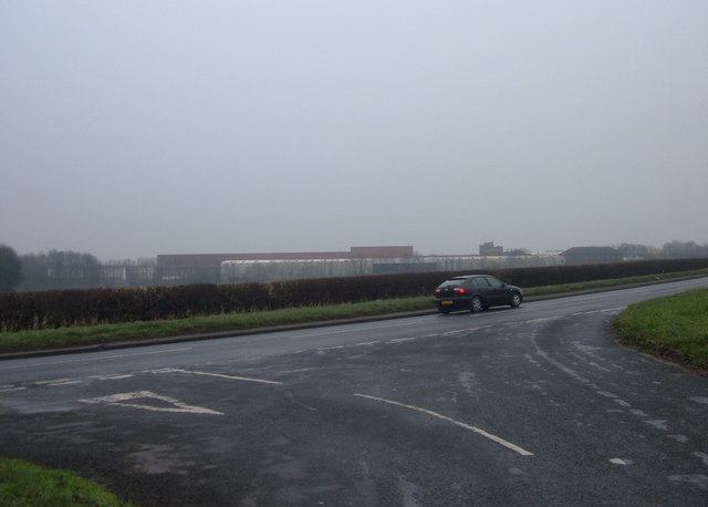
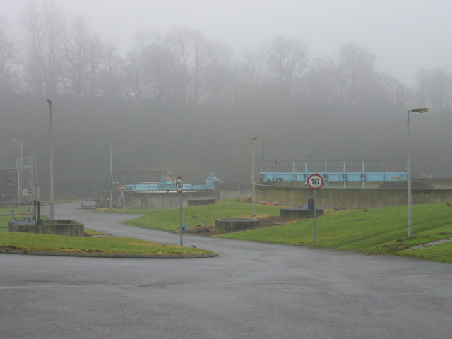
In recent years, Thorp Arch has seen some development, particularly in the form of industrial and commercial areas. The Thorp Arch Trading Estate, for instance, is a major employment hub in the region, housing various businesses and warehouses.
Transport links in Thorp Arch are well-established, with the A1(M) motorway passing nearby, providing convenient access to Leeds, York, and other major towns in the area. The village also benefits from regular bus services and a railway station located in the adjacent village of Boston Spa.
Overall, Thorp Arch offers a unique blend of history, natural beauty, and modern amenities, making it an attractive place to live and visit in Yorkshire.
If you have any feedback on the listing, please let us know in the comments section below.
Thorp Arch Images
Images are sourced within 2km of 53.91171/-1.338068 or Grid Reference SE4346. Thanks to Geograph Open Source API. All images are credited.
Thorp Arch is located at Grid Ref: SE4346 (Lat: 53.91171, Lng: -1.338068)
Division: West Riding
Administrative County: West Yorkshire
District: Leeds
Police Authority: West Yorkshire
What 3 Words
///cafe.scratches.fooling. Near Boston Spa, West Yorkshire
Nearby Locations
Related Wikis

Thorp Arch railway station
Thorp Arch railway station (before 12 June 1961 called Thorp Arch (Boston Spa)) was a station in the parish of Wetherby, West Yorkshire, on the Harrogate...

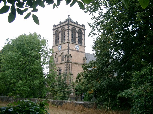
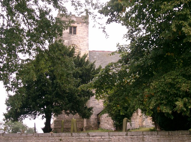
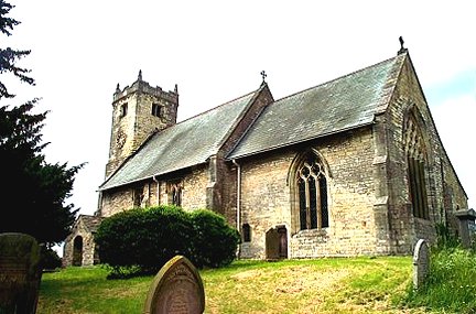
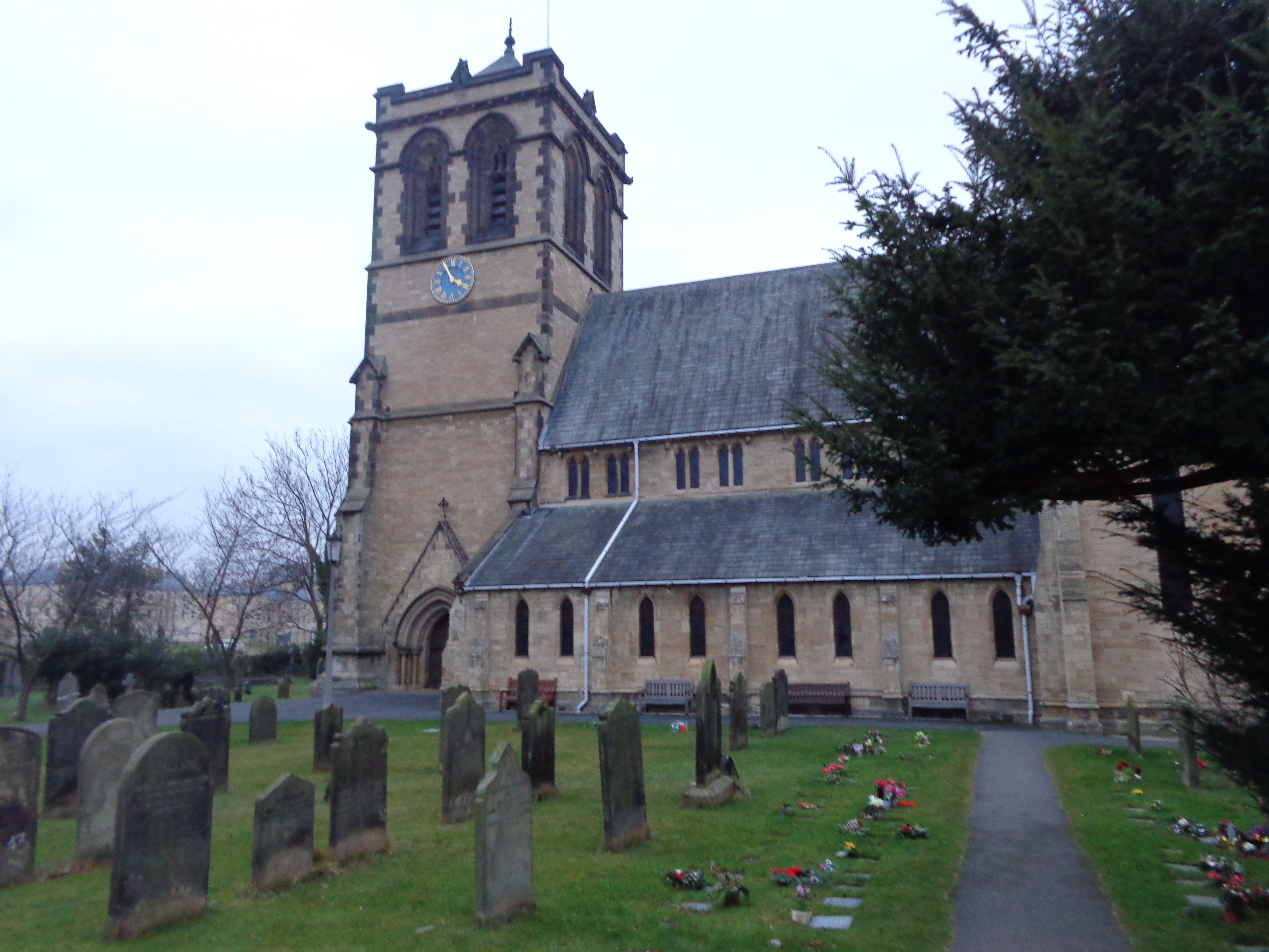
All Saints' Church, Thorp Arch
All Saints' Church in Thorp Arch, West Yorkshire, England is an active Anglican parish church in the Archdeaconry of York and the Diocese of York. ��2...

Thorp Arch
Thorp Arch is a village and civil parish near Wetherby, West Yorkshire, England in the City of Leeds metropolitan borough. == Governance == It sits in...

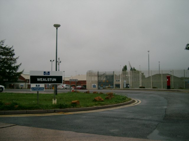
HM Prison Wealstun
HM Prison Wealstun is a Category C men's prison, located near the village of Thorp Arch in West Yorkshire, England. The prison is operated by His Majesty...

Thorp Arch (training ground)
Thorp Arch is the training ground of Leeds United. Located in the village of Thorp Arch, near the town of Wetherby, the site covers 12.1 hectares. The...

Thorp Arch Bridge
Thorp Arch Bridge (sometimes known locally as Boston Spa Bridge) is a stone arch bridge opened in 1770 across the River Wharfe linking the West Yorkshire...

Boston Spa Methodist Church
Boston Spa Methodist Church is an active Methodist Church of Great Britain church in Boston Spa, West Yorkshire, England. The church is Grade II listed...
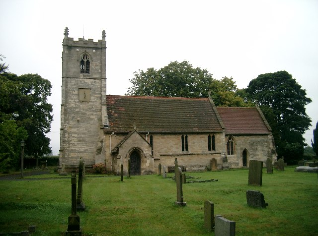
St Mary the Virgin Church, Boston Spa
The Church of St Mary the Virgin in Boston Spa, West Yorkshire, England is an active Anglican parish church in the archdeaconry of York and the Diocese...
Nearby Amenities
Located within 500m of 53.91171,-1.338068Have you been to Thorp Arch?
Leave your review of Thorp Arch below (or comments, questions and feedback).