Thoroton
Civil Parish in Nottinghamshire Rushcliffe
England
Thoroton

Thoroton is a civil parish located in the county of Nottinghamshire, England. It is situated approximately 13 miles east of Nottingham city centre. The parish covers an area of about 7.5 square miles and has a population of around 200 residents.
Thoroton is a predominantly rural area characterized by picturesque countryside and farmland. The landscape is dotted with small hamlets and scattered houses, with the parish being made up of several smaller settlements, including Thoroton village, which is the main residential area.
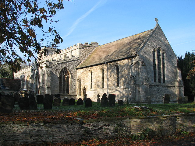
The village itself retains a traditional charm and features a mix of historic and contemporary architecture. The centerpiece of the village is the St. Helena's Church, which dates back to the 12th century and is a Grade I listed building. The church's architecture and stained glass windows are of particular interest to visitors.
The local economy mainly revolves around agriculture, with the fertile land supporting a variety of crops and livestock farming. The parish is also home to a few small businesses, including a village store and a pub, which serves as a social hub for the community.
Thoroton is known for its tranquil and peaceful atmosphere, making it an attractive place for those seeking a quiet and rural lifestyle. The surrounding countryside offers opportunities for outdoor activities such as walking, cycling, and horse riding, with many public footpaths and bridleways crisscrossing the area.
Overall, Thoroton offers a quintessential English countryside experience, with its picturesque landscapes, historic architecture, and close-knit community.
If you have any feedback on the listing, please let us know in the comments section below.
Thoroton Images
Images are sourced within 2km of 52.97369/-0.866946 or Grid Reference SK7642. Thanks to Geograph Open Source API. All images are credited.


Thoroton is located at Grid Ref: SK7642 (Lat: 52.97369, Lng: -0.866946)
Administrative County: Nottinghamshire
District: Rushcliffe
Police Authority: Nottinghamshire
What 3 Words
///mice.vowed.filled. Near Aslockton, Nottinghamshire
Related Wikis
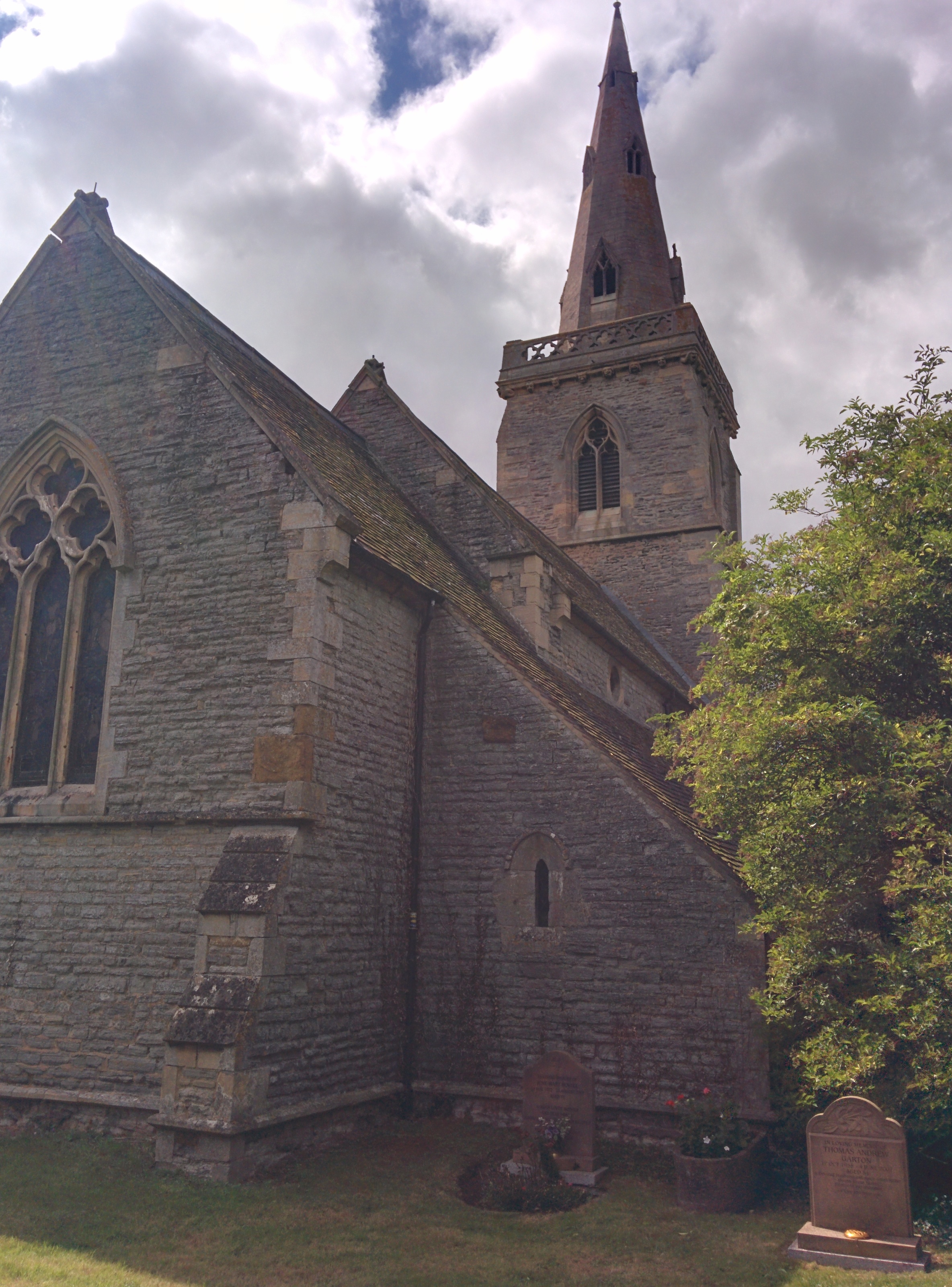
St Helena's Church, Thoroton
St Helena's Church, Thoroton is the Church of England parish church of Thoroton, Nottinghamshire, England. The building is Grade I listed by the Department...

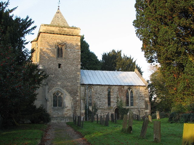
Hawksworth, Nottinghamshire
Hawksworth is an English conservation village and civil parish in the Rushcliffe borough of Nottinghamshire. It lies 10 miles (16 km) south of Newark-on...

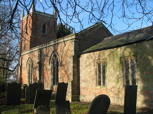
Church of St Mary and All Saints, Hawksworth
The Church of St Mary and All Saints, Hawksworth is the Church of England parish church in Hawksworth, Nottinghamshire. It is Grade II* listed by the Department...
Flawborough
Flawborough is a small hamlet and civil parish in the Rushcliffe borough of Nottinghamshire, England. == Geography == The settlement is situated 7 miles...

Nottingham–Grantham line
The Nottingham–Grantham line is a branch line between the city of Nottingham and the town of Grantham in the East Midlands of England. For most of its...
Flintham
Flintham is a village and civil parish in the Rushcliffe district in Nottinghamshire, 7 miles (11 km) from Newark-on-Trent and opposite RAF Syerston on...
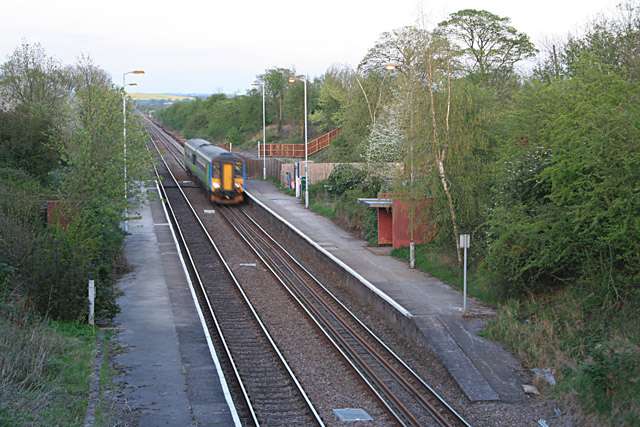
Elton and Orston railway station
Elton and Orston (formerly Elton) railway station serves the villages of Elton on the Hill and Orston in Nottinghamshire, England. It is owned by Network...
Orston
Orston is an English village and civil parish in the Rushcliffe borough of Nottinghamshire, 15 miles (24 km) east of Nottingham. It borders the parishes...
Nearby Amenities
Located within 500m of 52.97369,-0.866946Have you been to Thoroton?
Leave your review of Thoroton below (or comments, questions and feedback).