Front Wood
Wood, Forest in Yorkshire
England
Front Wood
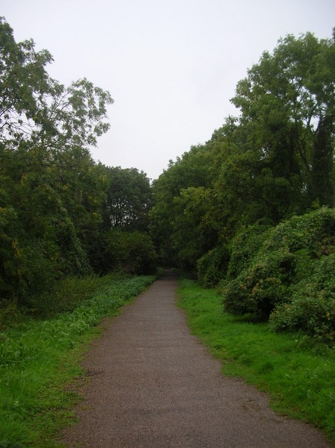
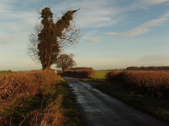
Front Wood is a picturesque woodland located in the county of Yorkshire, England. Covering an area of approximately 100 acres, this woodland is known for its dense and diverse array of trees, creating a vibrant and enchanting forest landscape.
The wood is predominantly made up of deciduous trees, including oak, beech, and birch, which provide a stunning display of colors during the autumn months. Additionally, there are also several coniferous trees, such as pine and spruce, adding to the overall majesty of the woodland.
Front Wood is a haven for wildlife, with various species calling it their home. It provides a habitat for numerous bird species, including woodpeckers, thrushes, and owls, making it an ideal location for birdwatching enthusiasts. The wood also supports a diverse range of mammals, including squirrels, rabbits, and deer, which can often be spotted roaming freely.
The woodland is crisscrossed by a network of footpaths, allowing visitors to explore the beauty of the area. These paths wind through the trees, offering a tranquil and peaceful experience for walkers and nature lovers alike. In the spring, the woodland floor is adorned with a carpet of wildflowers, adding to the charm of the surroundings.
Front Wood is a popular destination for outdoor activities such as hiking, photography, and picnicking. Its natural beauty and peaceful atmosphere make it an ideal escape from the hustle and bustle of city life. Whether strolling through the enchanting forest or simply enjoying the sights and sounds of nature, Front Wood offers a truly memorable experience for all who visit.
If you have any feedback on the listing, please let us know in the comments section below.
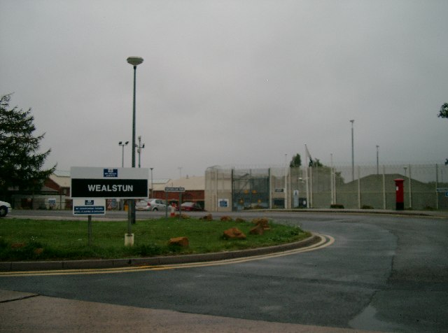
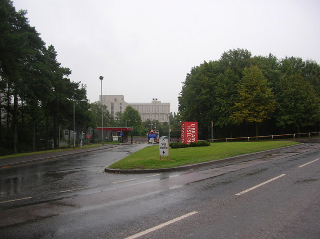
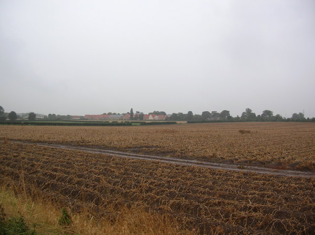
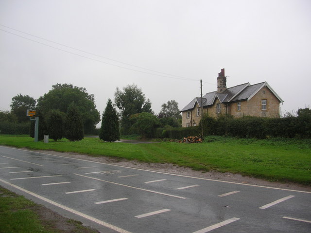
Front Wood Images
Images are sourced within 2km of 53.909094/-1.3460966 or Grid Reference SE4346. Thanks to Geograph Open Source API. All images are credited.

Front Wood is located at Grid Ref: SE4346 (Lat: 53.909094, Lng: -1.3460966)
Division: West Riding
Unitary Authority: Leeds
Police Authority: West Yorkshire
What 3 Words
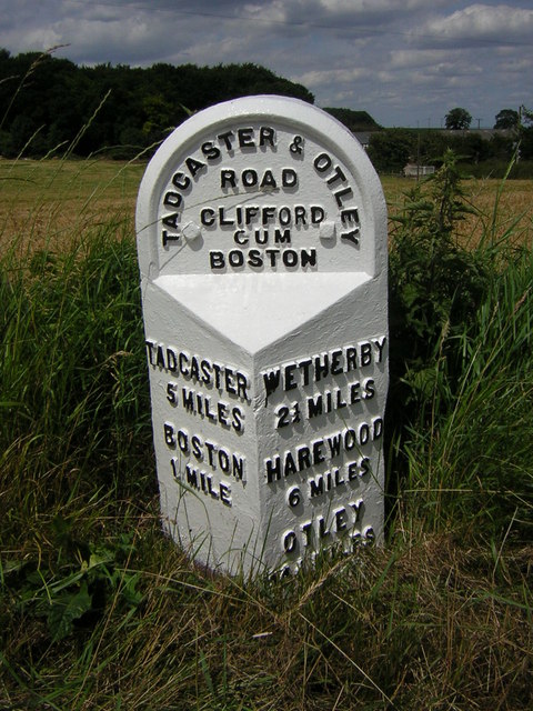
///lifeboats.slacker.notices. Near Boston Spa, West Yorkshire
Nearby Locations
Related Wikis

Thorp Arch
Thorp Arch is a village and civil parish near Wetherby, West Yorkshire, England in the City of Leeds metropolitan borough. == Governance == It sits in...

Thorp Arch Bridge
Thorp Arch Bridge (sometimes known locally as Boston Spa Bridge) is a stone arch bridge opened in 1770 across the River Wharfe linking the West Yorkshire...
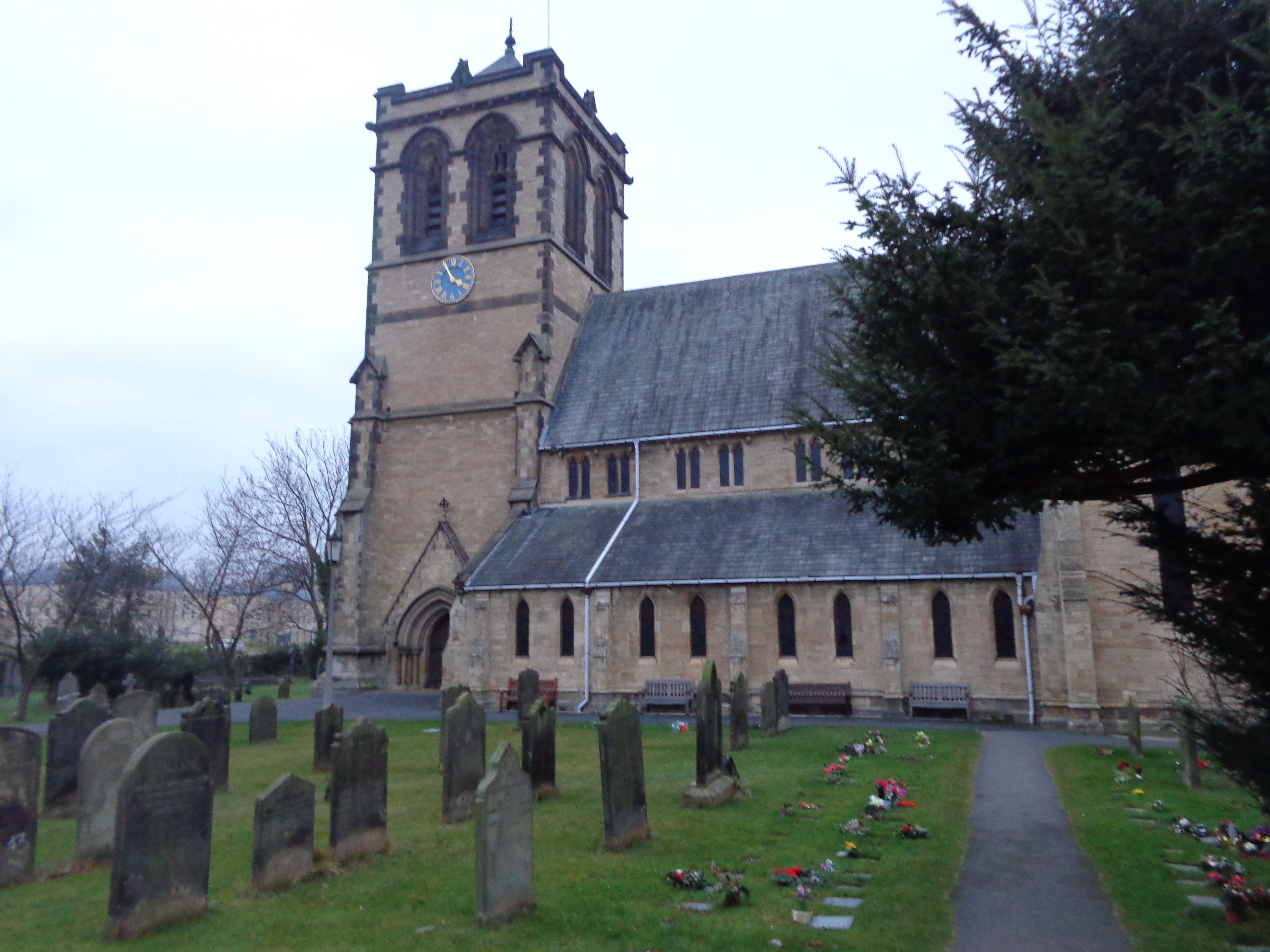
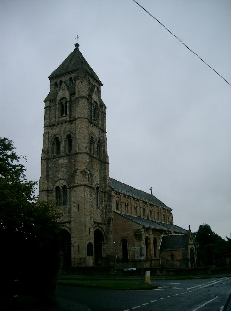
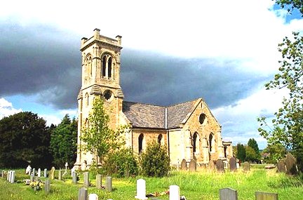
St Mary the Virgin Church, Boston Spa
The Church of St Mary the Virgin in Boston Spa, West Yorkshire, England is an active Anglican parish church in the archdeaconry of York and the Diocese...

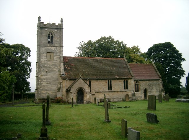
Boston Spa Methodist Church
Boston Spa Methodist Church is an active Methodist Church of Great Britain church in Boston Spa, West Yorkshire, England. The church is Grade II listed...

Boston Spa
Boston Spa is a village and civil parish in the City of Leeds in West Yorkshire, England. Situated 3 miles (5 km) south of Wetherby, Boston Spa is on the...
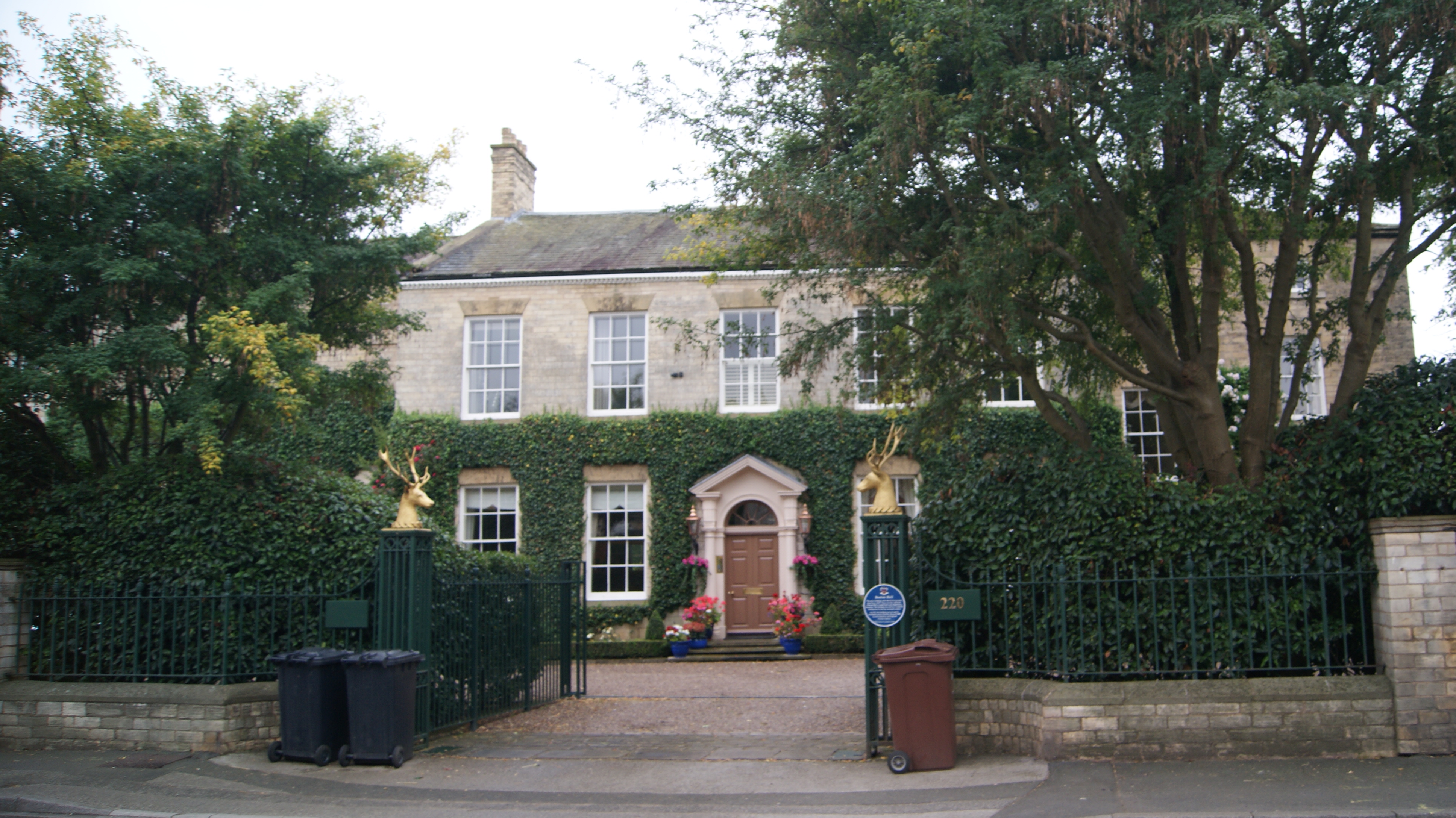
Boston Hall, Boston Spa
Boston Hall is a Grade II listed neo-classical house in Boston Spa, West Yorkshire, England. == History == The main part of the house was completed in...

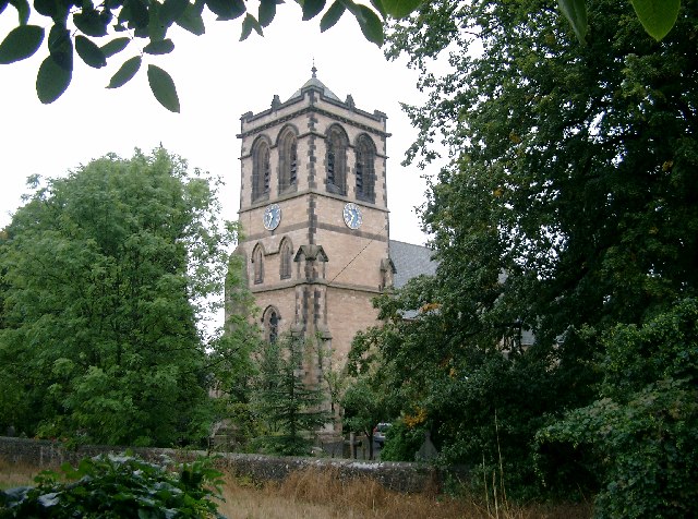
All Saints' Church, Thorp Arch
All Saints' Church in Thorp Arch, West Yorkshire, England is an active Anglican parish church in the Archdeaconry of York and the Diocese of York. ��2...

Thorp Arch railway station
Thorp Arch railway station (before 12 June 1961 called Thorp Arch (Boston Spa)) was a station in the parish of Wetherby, West Yorkshire, on the Harrogate...
Nearby Amenities
Located within 500m of 53.909094,-1.3460966Have you been to Front Wood?
Leave your review of Front Wood below (or comments, questions and feedback).