Spoilbank Plantation
Wood, Forest in Yorkshire
England
Spoilbank Plantation
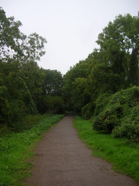
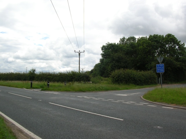
Spoilbank Plantation, located in the county of Yorkshire, England, is a sprawling woodland and forest area that covers a significant area of land. The plantation is characterized by its dense vegetation, towering trees, and diverse range of flora and fauna.
With a history dating back several centuries, Spoilbank Plantation has evolved into a vital natural habitat and a popular destination for nature enthusiasts. The woodland is home to a wide variety of tree species, including oak, birch, beech, and pine, providing a rich and diverse ecosystem. The forest floor is carpeted with an array of wildflowers, mosses, and ferns, creating a vibrant and visually stunning landscape.
Spoilbank Plantation is also inhabited by a diverse range of wildlife. Visitors may encounter various bird species, such as owls, woodpeckers, and songbirds, as well as small mammals like squirrels, rabbits, and hedgehogs. The forest is also home to a number of deer species, including roe deer and red deer, which can often be spotted grazing or roaming through the woodland.
The plantation offers a range of recreational activities for visitors to enjoy. There are well-maintained trails and paths that wind through the woodland, providing opportunities for hiking, walking, and cycling. The serene surroundings make it a perfect spot for picnics and nature photography. Additionally, Spoilbank Plantation is a designated nature reserve, ensuring the preservation and protection of its natural resources.
Overall, Spoilbank Plantation in Yorkshire offers a tranquil and picturesque setting for individuals looking to immerse themselves in nature and experience the beauty of a thriving woodland ecosystem.
If you have any feedback on the listing, please let us know in the comments section below.
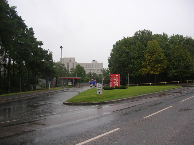
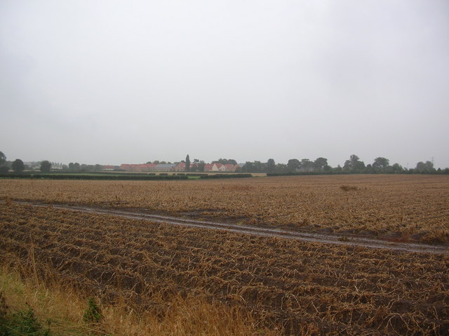
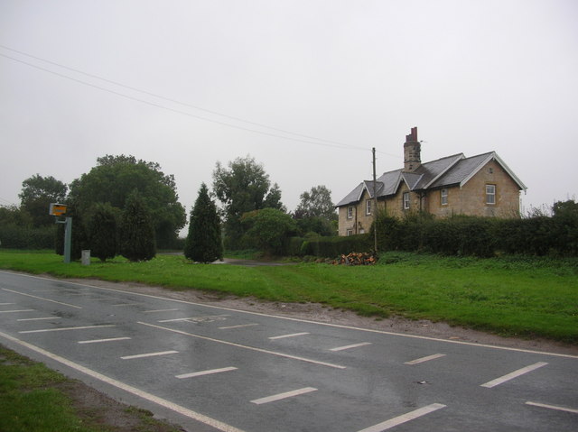
Spoilbank Plantation Images
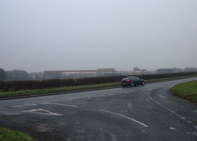
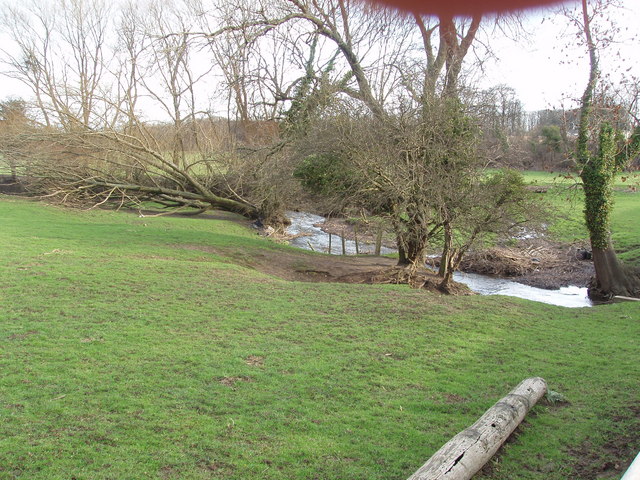
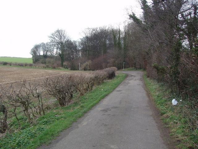
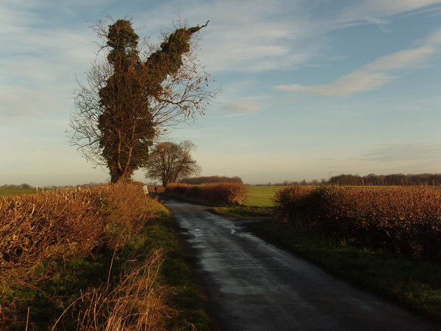
Images are sourced within 2km of 53.913276/-1.3351006 or Grid Reference SE4346. Thanks to Geograph Open Source API. All images are credited.

Spoilbank Plantation is located at Grid Ref: SE4346 (Lat: 53.913276, Lng: -1.3351006)
Division: West Riding
Unitary Authority: Leeds
Police Authority: West Yorkshire
What 3 Words
///animates.reflector.contain. Near Thorp Arch, West Yorkshire
Nearby Locations
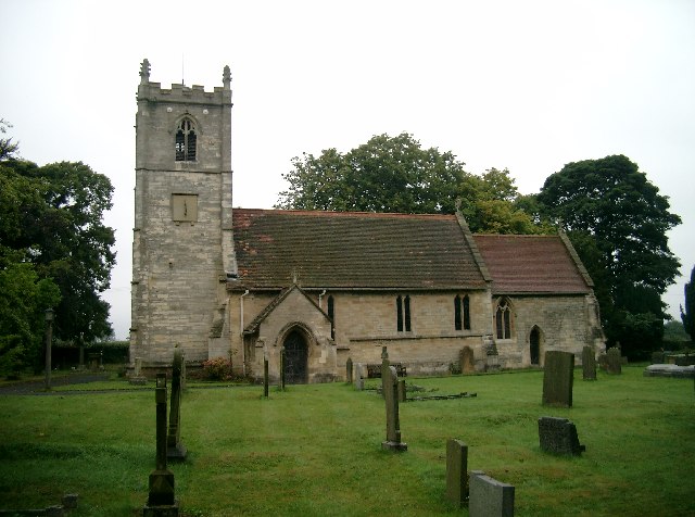
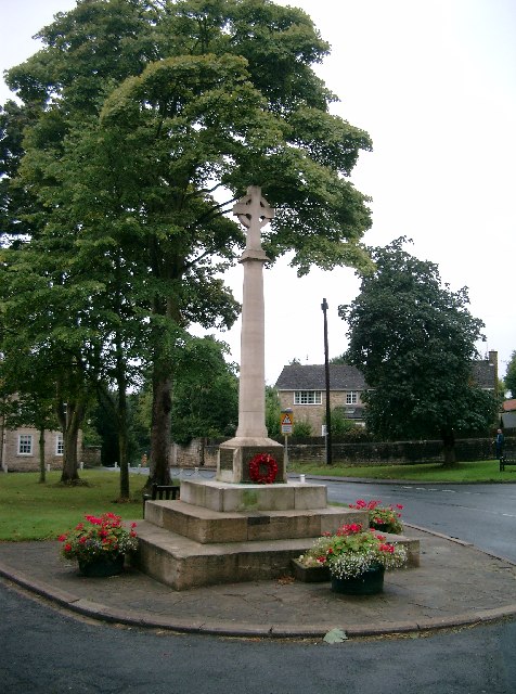
Related Wikis

Thorp Arch railway station
Thorp Arch railway station (before 12 June 1961 called Thorp Arch (Boston Spa)) was a station in the parish of Wetherby, West Yorkshire, on the Harrogate...

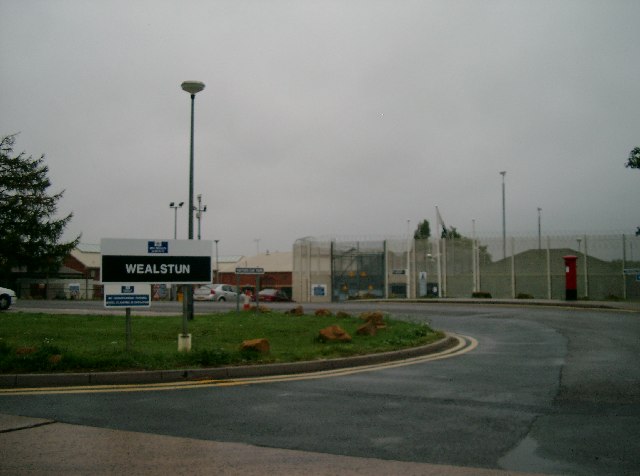
HM Prison Wealstun
HM Prison Wealstun is a Category C men's prison, located near the village of Thorp Arch in West Yorkshire, England. The prison is operated by His Majesty...

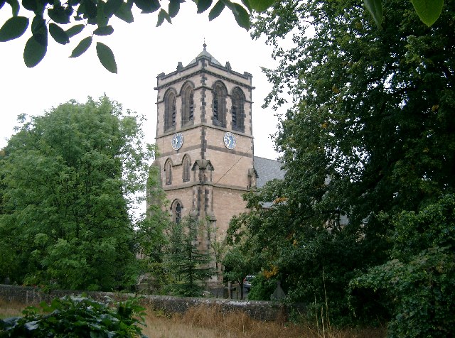
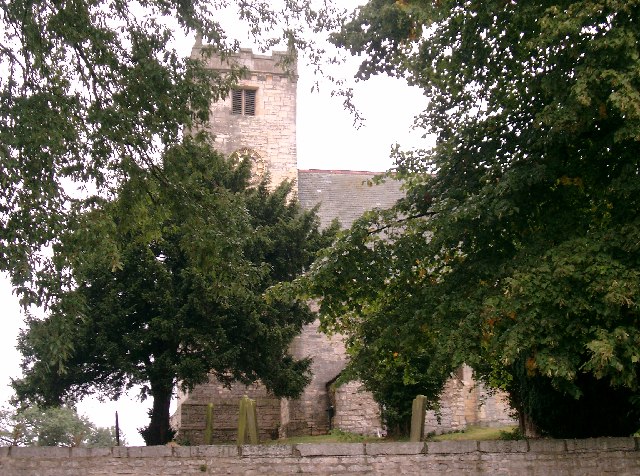
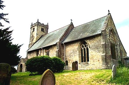
All Saints' Church, Thorp Arch
All Saints' Church in Thorp Arch, West Yorkshire, England is an active Anglican parish church in the Archdeaconry of York and the Diocese of York. ��2...

Thorp Arch (training ground)
Thorp Arch is the training ground of Leeds United. Located in the village of Thorp Arch, near the town of Wetherby, the site covers 12.1 hectares. The...
Nearby Amenities
Located within 500m of 53.913276,-1.3351006Have you been to Spoilbank Plantation?
Leave your review of Spoilbank Plantation below (or comments, questions and feedback).