Cattal Belt
Wood, Forest in Yorkshire Harrogate
England
Cattal Belt

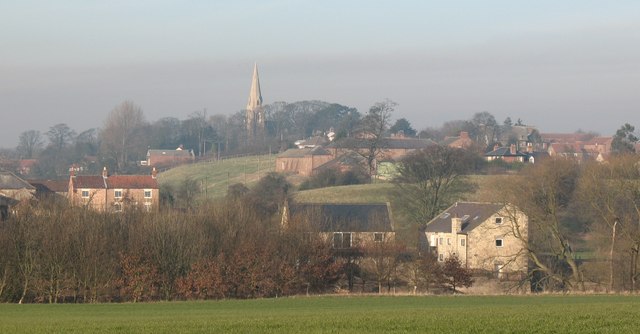
Cattal Belt is a small village located in the county of North Yorkshire, England. Situated within the district of Harrogate, it lies approximately 10 miles northwest of the town of York. The village is part of the rural area known as the Yorkshire Wolds and is surrounded by beautiful countryside, including woodlands and forests.
The name Cattal Belt is believed to have originated from the Old Norse words "kot" and "belt," meaning "cottage" and "belt of land," respectively. This suggests a historical connection to farming and agriculture in the area. The village itself is characterized by a mixture of residential houses, agricultural fields, and small businesses.
One of the notable features of Cattal Belt is its proximity to the Forest of Galtres, a popular woodland area for outdoor enthusiasts. The forest provides opportunities for hiking, cycling, and wildlife spotting. Additionally, the nearby River Nidd offers fishing and boating activities.
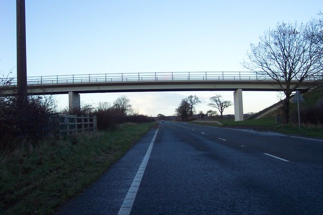
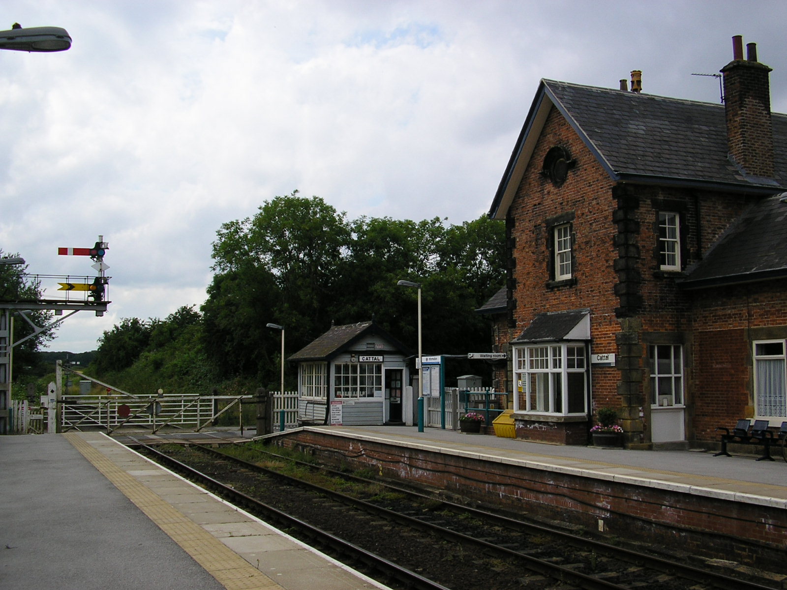
Although Cattal Belt is a relatively small village, it benefits from its close proximity to larger towns and cities. The city of York, with its rich history and cultural attractions, is easily accessible by road or rail. The village also has good transport links, with a train station on the York-Harrogate line.
In terms of amenities, Cattal Belt has a primary school, a village hall, and a local pub, providing a sense of community for its residents. Overall, Cattal Belt offers a peaceful and picturesque setting for those seeking a rural lifestyle with convenient access to nearby urban areas.
If you have any feedback on the listing, please let us know in the comments section below.
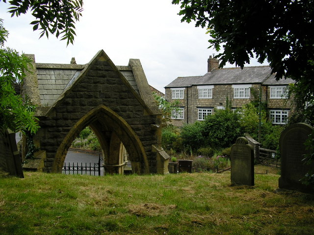
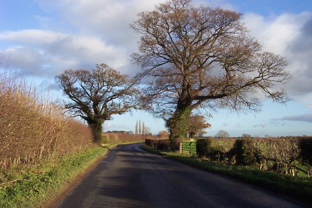
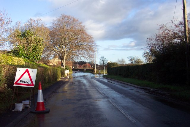
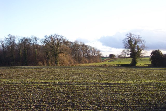
Cattal Belt Images
Images are sourced within 2km of 53.990116/-1.3338623 or Grid Reference SE4355. Thanks to Geograph Open Source API. All images are credited.


Cattal Belt is located at Grid Ref: SE4355 (Lat: 53.990116, Lng: -1.3338623)
Division: West Riding
Administrative County: North Yorkshire
District: Harrogate
Police Authority: North Yorkshire
What 3 Words
///submitted.broccoli.nights. Near Walton, West Yorkshire
Nearby Locations
Related Wikis
Cattal
Cattal is a village and civil parish in the Borough of Harrogate district of North Yorkshire, England, about 6 miles (9.7 km) east of Knaresborough, and...

Maltkiln
Maltkiln is a proposed new village development centred around Cattal railway station in North Yorkshire, England. The development is just south of the...

Cattal railway station
Cattal is a railway station on the Harrogate Line, which runs between Leeds and York via Harrogate. The station, situated 10+1⁄2 miles (17 km) west of...
Hunsingore
Hunsingore is a village and civil parish in the Harrogate district of North Yorkshire, England. It is situated near the River Nidd and the A1(M) motorway...

Hopperton
Hopperton is a village in the Harrogate district of North Yorkshire, England. It is part of the Allerton Mauleverer with Hopperton parish. The village...

Whixley
Whixley is a village and civil parish in the Harrogate district of North Yorkshire, England. It is near the A1(M) motorway and 10 miles (16 km) west of...

Hopperton railway station
Hopperton railway station served the village of Hopperton, North Yorkshire, England from 1848 to 1962 on the Harrogate line. == History == The station...

St Michael's Church, Cowthorpe
St Michael's Church is a redundant church in the village of Cowthorpe, North Yorkshire, England. It is recorded in the National Heritage List for England...
Have you been to Cattal Belt?
Leave your review of Cattal Belt below (or comments, questions and feedback).