Thorpe

Civil Parish in Yorkshire Craven

England

Thorpe

Old stone bridge over Linton Beck
Old stone bridge over Linton Beck Credit: David Martin

Thorpe is a small civil parish located in the Ryedale district of North Yorkshire, England. Situated approximately 4 miles east of the market town of Pickering, the village is nestled in the picturesque North York Moors National Park. With a population of around 200 residents, Thorpe is known for its tranquil and idyllic rural setting.

The village is primarily comprised of traditional stone-built houses, some dating back to the 18th century, giving it a charming and historical character. Surrounded by rolling hills and lush countryside, Thorpe offers stunning views and ample opportunities for outdoor activities such as hiking, cycling, and birdwatching.

Despite its small size, Thorpe has a tight-knit community and a strong sense of local pride. The village features a small but vibrant community center, which serves as a hub for various social gatherings and events throughout the year. Additionally, there is a well-maintained village green where residents can relax and enjoy the peaceful surroundings.

While Thorpe does not have its own school or shops, the nearby town of Pickering provides all necessary amenities, including schools, supermarkets, and healthcare services. The village is well-connected to the wider region by road, with the A169 passing close by, allowing easy access to nearby towns and cities.

Overall, Thorpe offers a charming and tranquil escape from the hustle and bustle of urban life, providing residents and visitors with a quintessential rural Yorkshire experience.

If you have any feedback on the listing, please let us know in the comments section below.
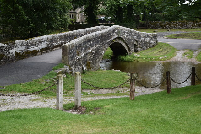
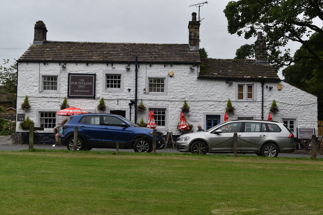
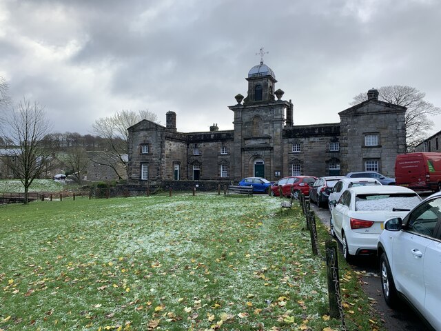
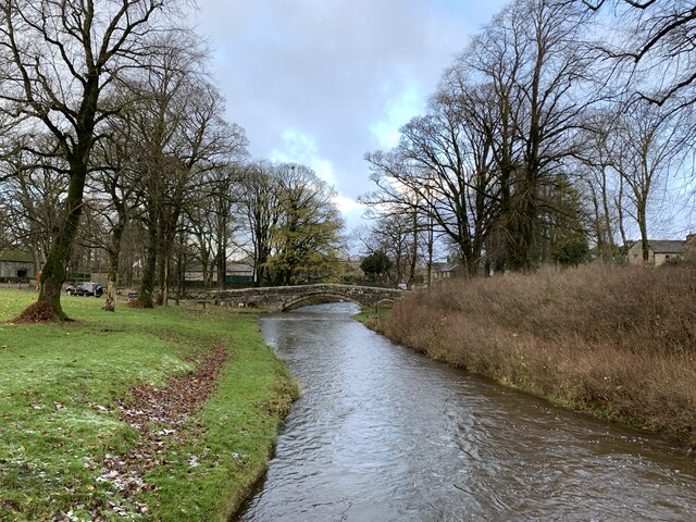
Thorpe Images

Images are sourced within 2km of 54.045592/-1.989826 or Grid Reference SE0061. Thanks to Geograph Open Source API. All images are credited.
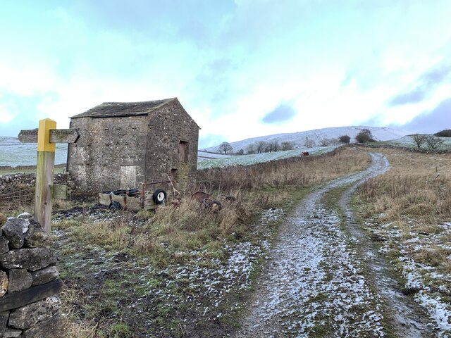
Old stone bridge over Linton Beck
The Fountaine Inn, Linton
Fountaine's Hospital, Linton Grade II* listed. Listing number 1132124. Chapel and almshouses. 1721 by Richard Fountaine, extended to the rear in the late 19th century.
Fountaine's Hospital, Linton
Grade II* listed. Listing number 1132124. Chapel and almshouses. 1721 by Richard Fountaine, extended to the rear in the late 19th century.
Bridge over the ford at Linton Grade II listed. Listing number 1132118 Pedestrian bridge. Late C17 - early C18 with later repairs. Gritstone rubble with larger blocks to parapets. A single shallow arch with small flood arch to east, both with voussoirs set back and a slightly-projecting drip-course. 3 or 4 courses of stone to parapet which has rounded copings. A pedestrian or packhorse bridge aligned to carry a route towards Burnsall, along the south bank of the Wharfe, and replaced by a late C19 bridge carrying north-bound traffic towards the river crossing at Grassington.
Bridge over the ford at Linton
Grade II listed. Listing number 1132118 Pedestrian bridge. Late C17 - early C18 with later repairs. Gritstone rubble with larger blocks to parapets. A single shallow arch with small flood arch to east, both with voussoirs set back and a slightly-projecting drip-course. 3 or 4 courses of stone to parapet which has rounded copings. A pedestrian or packhorse bridge aligned to carry a route towards Burnsall, along the south bank of the Wharfe, and replaced by a late C19 bridge carrying north-bound traffic towards the river crossing at Grassington.
Track from Ings Farm Near Linton.
Track from Ings Farm
Near Linton.
Swinden Quarry [4] This fine view of Elbolton Hill is seen by those departing the quarry.
The quarry is 2 miles south of Grassington and supplies limestone. The quarry is served by the former Skipton to Grassington railway, which now terminates here.
Swinden Quarry [4]
This fine view of Elbolton Hill is seen by those departing the quarry. The quarry is 2 miles south of Grassington and supplies limestone. The quarry is served by the former Skipton to Grassington railway, which now terminates here.
Fountaine Hospital Almshouses facing the village green
Fountaine Hospital
Almshouses facing the village green
Redmayne Packhorse Bridge On Linton Beck with a ford by its side
Redmayne Packhorse Bridge
On Linton Beck with a ford by its side
Access road for Langerton Farm The farm road leaves Thorpe Lane, a minor road connecting the villages at Thorpe and Cracoe.
Access road for Langerton Farm
The farm road leaves Thorpe Lane, a minor road connecting the villages at Thorpe and Cracoe.
Path approaching stile in wall The path leaves the minor road at Far Langerton to approach the 'colour-coded' steps, post and gate which indicate the continuing way.
Elbolton Hill is in the distance.
Path approaching stile in wall
The path leaves the minor road at Far Langerton to approach the 'colour-coded' steps, post and gate which indicate the continuing way. Elbolton Hill is in the distance.
A wall -lined Thorpe Lane between Threapland and Langerton Looking eastward.
A wall -lined Thorpe Lane between Threapland and Langerton
Looking eastward.
Thorpe Lane at Far Langerton Looking north-eastward.
Thorpe Lane at Far Langerton
Looking north-eastward.
Small pond on Thorpe Fell
Shooting lodge on Thorpe Fell
Path through heather to grouse butt, Thorpe Fell
Track through heather on Thorpe Fell
Track on Thorpe Fell The prominent shooting lodge is visible on the horizon.
Track on Thorpe Fell
The prominent shooting lodge is visible on the horizon.
Trig point at summit of Thorpe Fell Flat slabs of rock at the hill summit with a damaged trig point occupying the highest of them.
The view is to the north where Buckden Pike and Great Whernside lie, one either side of the pillar.
Trig point at summit of Thorpe Fell
Flat slabs of rock at the hill summit with a damaged trig point occupying the highest of them. The view is to the north where Buckden Pike and Great Whernside lie, one either side of the pillar.
Show me another place!

Thorpe is located at Grid Ref: SE0061 (Lat: 54.045592, Lng: -1.989826)

Division: West Riding

Administrative County: North Yorkshire

District: Craven

Police Authority: North Yorkshire

What 3 Words

///tortoises.intrigued.reshape. Near Grassington, North Yorkshire

Nearby Locations

Elbolton Cave Thorpe

Related Wikis

Thorpe, North Yorkshire

Thorpe is a village and civil parish in the Craven district of North Yorkshire, England. It is 2 miles (3 km) south of Grassington and 6 miles (10 km)...

Thorpe Fell Top

Thorpe Fell Top is the top of the hill of Burnsall and Thorpe Fell in the Yorkshire Dales, itself forming part of a larger wedge of ground between Wharfedale...

Linton, North Yorkshire

Linton is a village and civil parish in the Craven district of North Yorkshire, England. The population as of the 2011 census was 176. It lies not far...

Burnsall

Burnsall is a village and civil parish in the Craven district of North Yorkshire, England. It is situated on the River Wharfe in Wharfedale, and is in...

Linton Falls Hydro

Linton Falls Hydro is a hydroelectric generating power station located on the Linton Falls Weir of the River Wharfe, near Grassington, North Yorkshire...

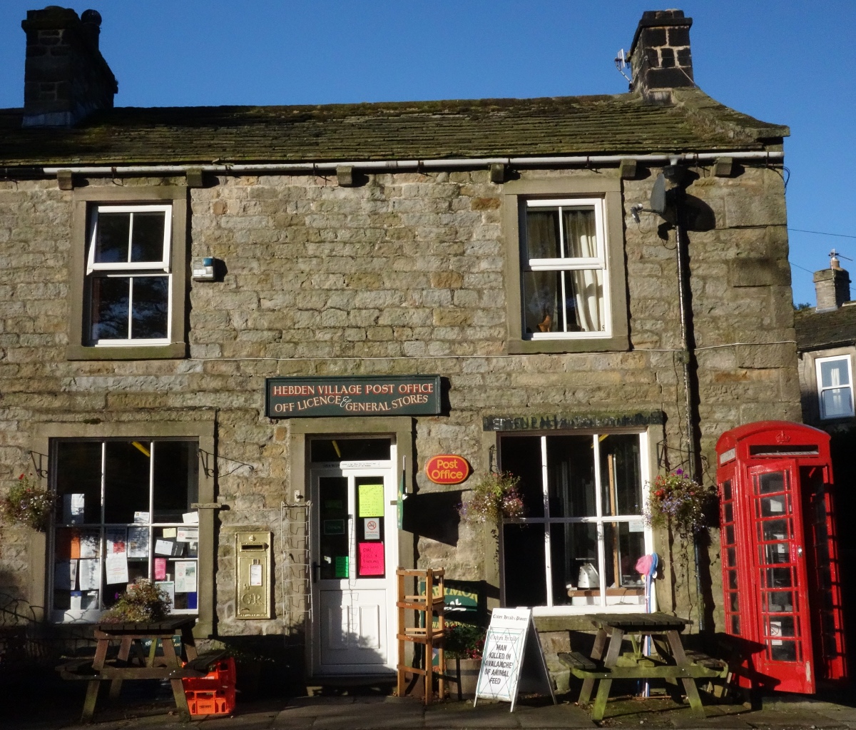
Hebden, North Yorkshire

Hebden ( HEB-dərn) is a village and civil parish in the Craven District of North Yorkshire, England, and one of four villages in the ecclesiastical parish...

Swinden Quarry

Swinden Quarry is 0.62 miles (1 km) north of the village of Cracoe, and 1.9 miles (3 km) south-west of Grassington in North Yorkshire, England. It is owned...

Grassington

Grassington is a village and civil parish in North Yorkshire, England. The population of the parish at the 2011 Census was 1,126. Historically part of...

Nearby Amenities

Located within 500m of 54.045592,-1.989826
Elbolton
Man Made: survey_point
Natural: peak
Source: NPE;OS 1:25k
Source Name: OS 134,1853
Lat/Long: 54.0498709/-1.9920754
old shaft
Historic: mine_shaft
Source: OS 1:25k
Lat/Long: 54.0493498/-1.9909517
old shaft
Historic: mine_shaft
Source: OS 1:25k
Lat/Long: 54.0478463/-1.9960189
Historic: mine_shaft
Note: not verified
Source: EsriWorldImageryClarity
Lat/Long: 54.0425384/-1.9842913
Historic: mine_shaft
Source: EsriWorldImageryClarity
Lat/Long: 54.0492413/-1.9921176
Historic: mine_shaft
Source: EsriWorldImageryClarity
Lat/Long: 54.0497078/-1.9898458
Historic: mine_shaft
Source: EsriWorldImageryClarity
Lat/Long: 54.0497452/-1.9899853
Navvy Noddle Hole
Archaeological Site: mineral_extraction
Historic: mine_shaft
Mineral: lead
Source: OS 134,1853;EsriWorldImageryClarity
Source Mineral: OS 134,1853
Lat/Long: 54.0492835/-1.989435
Long Trough
Place: locality
Source: OS 134,1853
Lat/Long: 54.0491859/-1.989199
Archaeological Site: mineral_extraction
Historic: mine_shaft
Mineral: lead
Source: OS 134,1853;EsriWorldImageryClarity
Source Mineral: OS 134,1853
Lat/Long: 54.0495986/-1.989773
Historic: mine_shaft
Note: not verified
Source: EsriWorldImageryClarity
Lat/Long: 54.042609/-1.9852108
Historic: mine_shaft
Note: not verified
Source: EsriWorldImageryClarity
Lat/Long: 54.0426657/-1.9848031
Historic: mine_shaft
Note: not verified
Source: EsriWorldImageryClarity
Lat/Long: 54.0426717/-1.9852859
Historic: mine_shaft
Note: not verified
Source: EsriWorldImageryClarity
Lat/Long: 54.042552/-1.9848782
Archaeological Site: mineral_extraction
Historic: mine_shaft
Mineral: lead
Source: OS 134,1853;EsriWorldImageryClarity
Source Mineral: OS 134,1853
Lat/Long: 54.0489056/-1.9921226
Beckett Pipe
Archaeological Site: mineral_extraction
Historic: mine_shaft
Mineral: lead
Source: OS 134,1853;EsriWorldImageryClarity
Source Mineral: OS 134,1853
Lat/Long: 54.0482001/-1.9919348
The data included in this document is from www.openstreetmap.org. The data is made available under ODbL.

Have you been to Thorpe?

Leave your review of Thorpe below (or comments, questions and feedback).