Swillington
Civil Parish in Yorkshire Leeds
England
Swillington
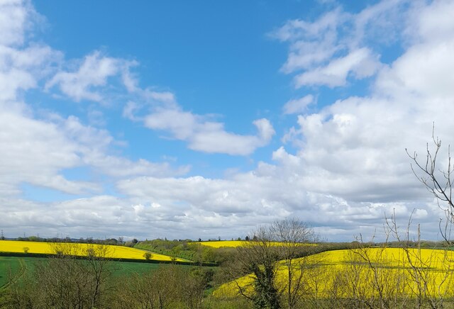
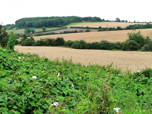
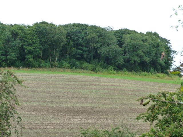
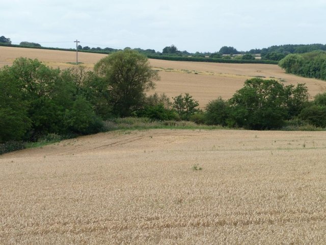
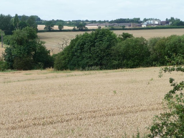
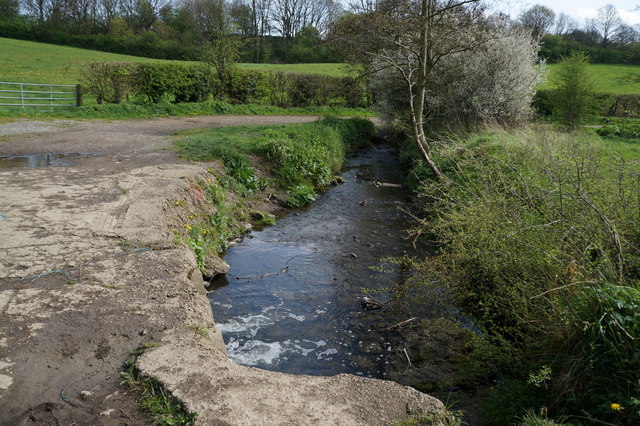
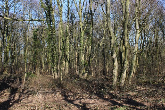
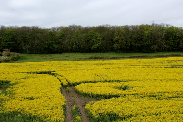
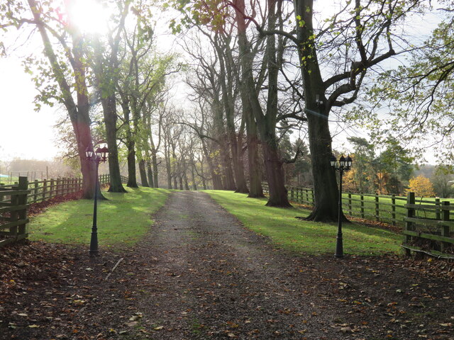
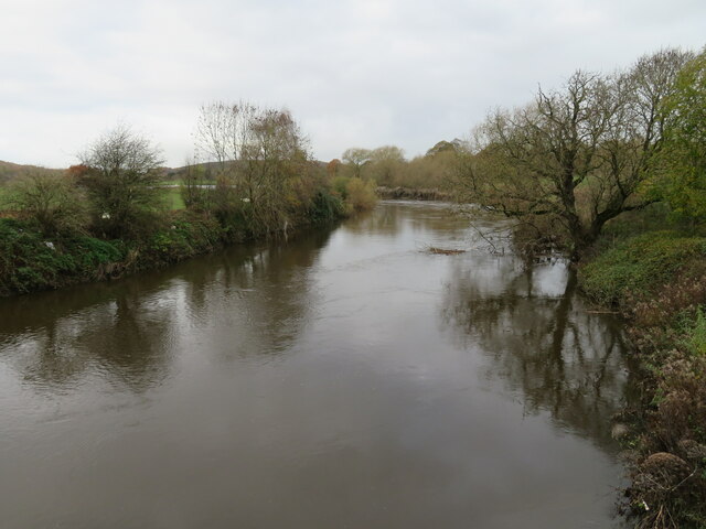
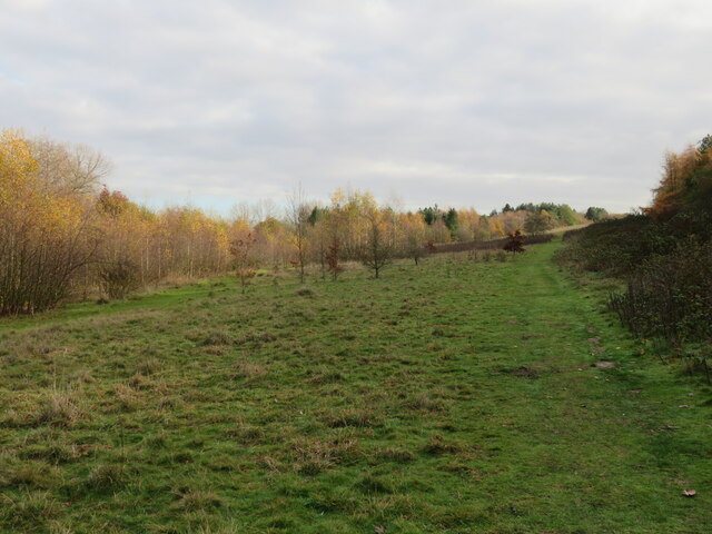
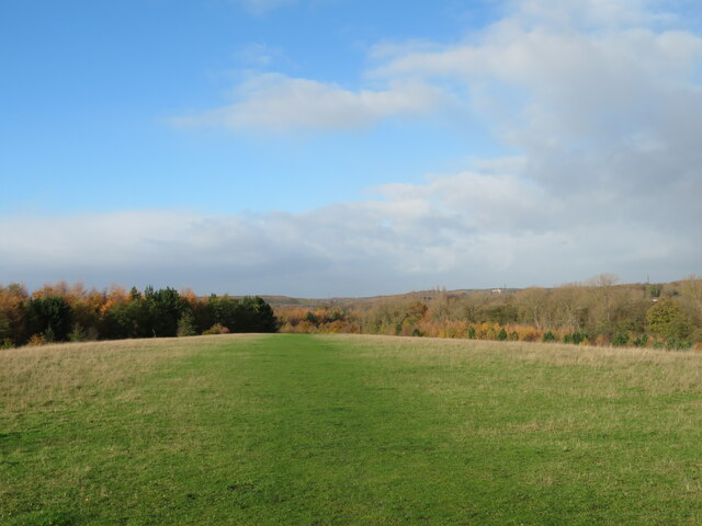
Swillington is a civil parish located in the metropolitan borough of Leeds, West Yorkshire, England. Situated approximately 7 miles southeast of the city center, it is a small village with a population of around 3,000 residents. The area is known for its picturesque countryside, encompassing open fields, woodlands, and the River Aire, which flows through the parish.
Swillington has a rich history, dating back to the Domesday Book in 1086, where it was first mentioned as "Suillintone." The parish has witnessed various periods of development and change over the centuries, with agriculture playing a significant role in its economy. Today, farming remains a part of the local industry, along with some light industry and service-based businesses.
The village itself is characterized by its charming stone buildings, including a historic church, St. Mary's, which dates back to the 12th century. The church stands as a prominent landmark and a testament to the area's heritage. Swillington also has a primary school, community center, and a few local shops and amenities, providing essential services for its residents.
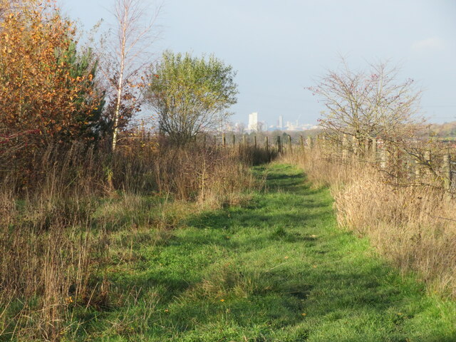
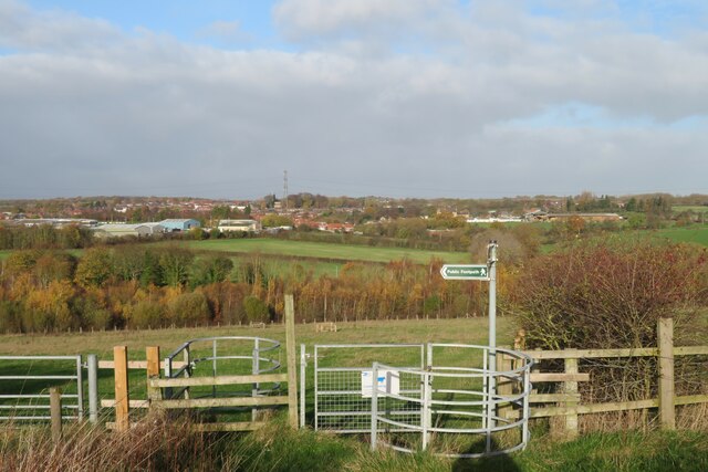
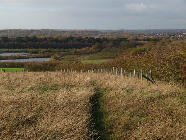
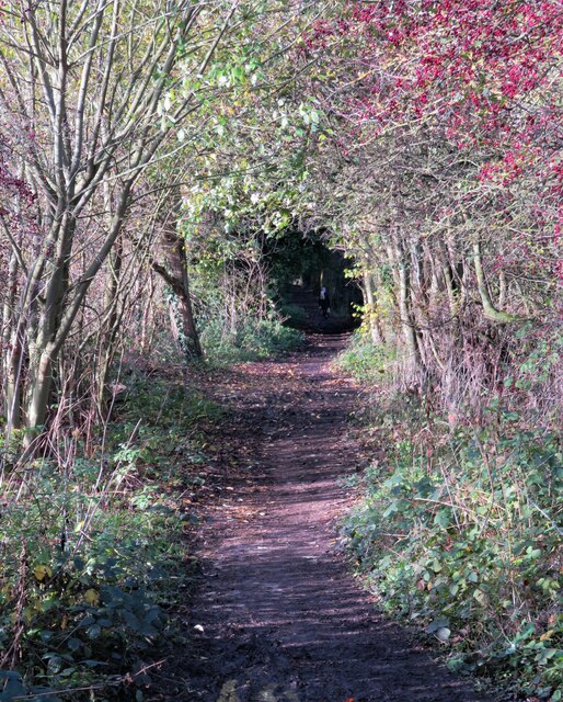
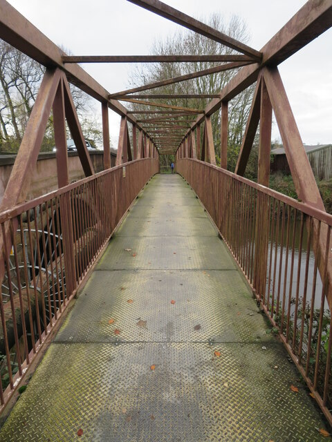
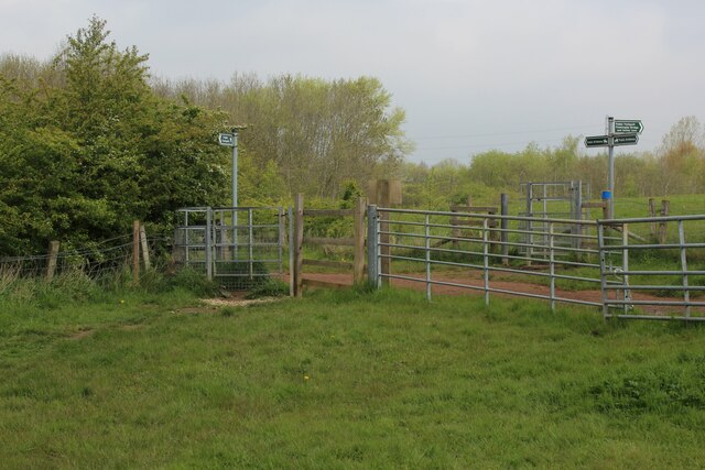
The parish offers a range of recreational activities, with several nature reserves and walking trails nearby, making it an attractive destination for outdoor enthusiasts. The nearby Swillington Ings Nature Reserve is particularly popular, offering a habitat for various wildlife species and a tranquil environment for visitors to enjoy.
Overall, Swillington is a peaceful and idyllic village in Yorkshire, offering a close-knit community, beautiful countryside, and a rich historical background that continues to be cherished by its residents.
If you have any feedback on the listing, please let us know in the comments section below.
Swillington Images
Images are sourced within 2km of 53.770564/-1.41896 or Grid Reference SE3830. Thanks to Geograph Open Source API. All images are credited.
Swillington is located at Grid Ref: SE3830 (Lat: 53.770564, Lng: -1.41896)
Division: West Riding
Administrative County: West Yorkshire
District: Leeds
Police Authority: West Yorkshire
What 3 Words
///boots.smiled.images. Near Swillington, West Yorkshire
Nearby Locations
Related Wikis

St Mary's Church, Swillington
St Mary's Church is located on Church Lane next to Swillington Primary School, on Wakefield Road, Swillington, West Yorkshire, England. There has been...

Swillington
Swillington is a village and civil parish near Leeds, West Yorkshire, England, in the City of Leeds metropolitan borough. It is situated 5 miles (8 km...
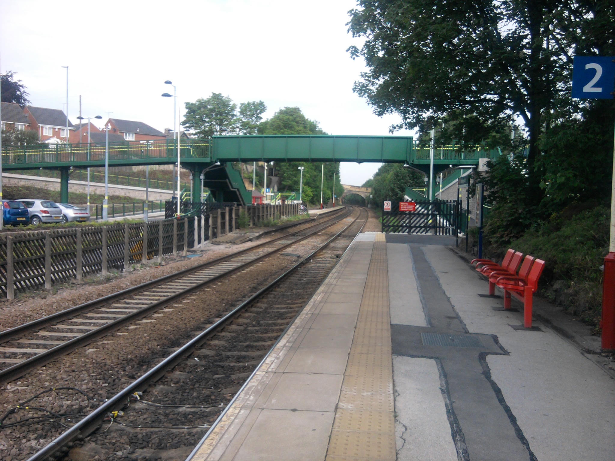
Woodlesford railway station
Woodlesford railway station serves a suburban village of Woodlesford and a town of Rothwell in West Yorkshire, England. It lies on the Hallam Line and...
Kippax railway station
Kippax railway station was a railway station on the Castleford–Garforth line in West Yorkshire, England. The station opened in 1878 and closed to passengers...
Nearby Amenities
Located within 500m of 53.770564,-1.41896Have you been to Swillington?
Leave your review of Swillington below (or comments, questions and feedback).