Swilland

Civil Parish in Suffolk East Suffolk

England

Swilland

Country road near Gibraltar Oak tree beside a country road passing through farmland near Gibraltar.
Country road near Gibraltar Credit: Philip Halling

Swilland is a small civil parish located in the county of Suffolk, England. It is situated approximately 5 miles north of the town of Ipswich and is part of the Mid Suffolk district. The parish covers an area of around 2 square miles and is home to a population of just over 200 residents.

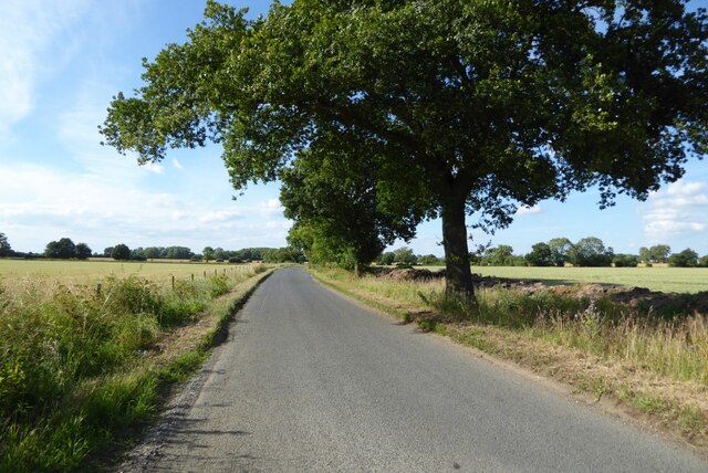
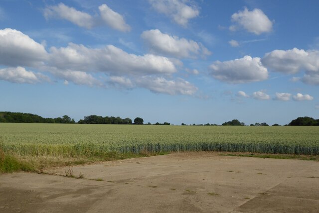
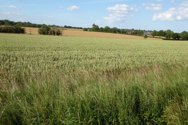
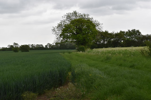
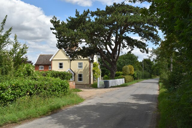
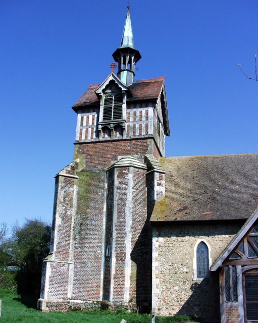
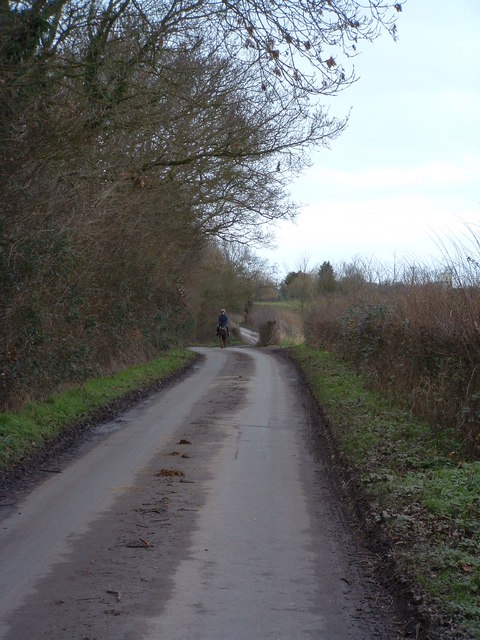
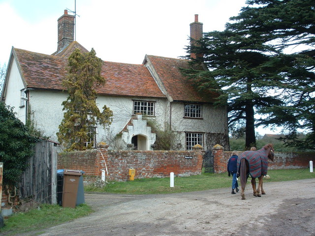
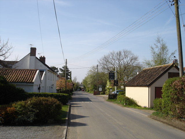
Swilland is a rural village surrounded by picturesque countryside, offering a peaceful and tranquil setting for its residents. The village is known for its charming thatched cottages, historic church, and traditional village pub. The parish is also home to several farms and agricultural fields, contributing to its rural character.

Despite its small size, Swilland has a strong sense of community, with residents actively participating in local events and activities. The village benefits from a village hall, which serves as a hub for social gatherings and community events.

Overall, Swilland is a quaint and idyllic village in the heart of the Suffolk countryside, offering residents a peaceful and close-knit community to call home.

If you have any feedback on the listing, please let us know in the comments section below.

Swilland Images

Images are sourced within 2km of 52.126825/1.203169 or Grid Reference TM1952. Thanks to Geograph Open Source API. All images are credited.

Country road near Gibraltar Oak tree beside a country road passing through farmland near Gibraltar.
Country road near Gibraltar
Oak tree beside a country road passing through farmland near Gibraltar.
A wheat field near Gibraltar
Arable fields near Otley Wheat fields near Otley.
Arable fields near Otley
Wheat fields near Otley.
Police Public Call Box appeared out of nowhere Surely it couldn't be; could it?
Police Public Call Box appeared out of nowhere
Surely it couldn't be; could it?
Cottages on Clopton Road
Field of rape at Bond's Corner
Market Hill, Grundisburgh Large field of rape to the left.
Market Hill, Grundisburgh
Large field of rape to the left.
Farmyard at Sycamore Farm The farm is now home to Ipswich Riding School.
Farmyard at Sycamore Farm
The farm is now home to Ipswich Riding School.
Footpath towards Clopton Looking east from Charity Lane near Poplar Farm.
Footpath towards Clopton
Looking east from Charity Lane near Poplar Farm.
The Laurels, Clopton Road, Swilland The house was formerly the farmhouse of Laurel Farm, known as Catt's Farm in Victorian times.
The Laurels, Clopton Road, Swilland
The house was formerly the farmhouse of Laurel Farm, known as Catt's Farm in Victorian times.
Poplar Farmhouse, Grundisburgh The house dates back to the late 16th Century and is a Grade II Listed Building.  It used to be the farmhouse of the adjacent Poplar Farm.
Poplar Farmhouse, Grundisburgh
The house dates back to the late 16th Century and is a Grade II Listed Building. It used to be the farmhouse of the adjacent Poplar Farm.
Poplar Farm, Grundisburgh
Wheat field ready for harvest, Market Hill, Grundisburgh Looking north along the lane near Bond's Corner.
Wheat field ready for harvest, Market Hill, Grundisburgh
Looking north along the lane near Bond's Corner.
Bond's Manor, Grundisburgh The house dates back to the early 17th Century and is a Grade II Listed Building.  It was previously the farmhouse for Bond's Corner Farm, known as Redhouse Farm in Victorian times.
Bond's Manor, Grundisburgh
The house dates back to the early 17th Century and is a Grade II Listed Building. It was previously the farmhouse for Bond's Corner Farm, known as Redhouse Farm in Victorian times.
Swilland
Swilland
Road junction at Ashbocking The road in the foreground is the B.1078 and the road ahead is the B.1077
Road junction at Ashbocking
The road in the foreground is the B.1078 and the road ahead is the B.1077
Distant Horse Rider A distant horse rider along a bleak wintry lane near to Swilland Suffolk.
Distant Horse Rider
A distant horse rider along a bleak wintry lane near to Swilland Suffolk.
Newton Hall Newton hall near to Swilland Suffolk.
Newton Hall
Newton hall near to Swilland Suffolk.
Show me another place!

Swilland is located at Grid Ref: TM1952 (Lat: 52.126825, Lng: 1.203169)

Administrative County: Suffolk

District: East Suffolk

Police Authority: Suffolk

What 3 Words

///mimics.protrude.torches. Near Grundisburgh, Suffolk

Nearby Locations

Swilland

Related Wikis

Swilland

Swilland is a village and civil parish, in the East Suffolk district, in the English county of Suffolk. It is north of the large town of Ipswich. Swilland...

Witnesham

Witnesham is a village situated roughly 4 miles (6 km) to the north of Ipswich, Suffolk. The main road from Ipswich that links the village to the town...

Suffolk Rural College

Suffolk Rural College is an English further education college in the village of Otley, Suffolk. The college was founded in 1970 as Otley College of Agriculture...

Brooke House

Brooke House in Ashbocking, north of Ipswich in Suffolk is the headquarters of the Suffolk Wildlife Trust.The house was left to the trust by Mary Brooke...

Nearby Amenities

Located within 500m of 52.126825,1.203169
Power: pole
Lat/Long: 52.131025/1.2049288
Power: pole
Lat/Long: 52.1305409/1.2066588
The data included in this document is from www.openstreetmap.org. The data is made available under ODbL.

Have you been to Swilland?

Leave your review of Swilland below (or comments, questions and feedback).