Swettenham
Civil Parish in Cheshire
England
Swettenham
Swettenham is a civil parish in the county of Cheshire, England. It is located near the town of Congleton and is part of the Cheshire East unitary authority. The parish covers an area of approximately 2.5 square miles and has a population of around 200 residents.
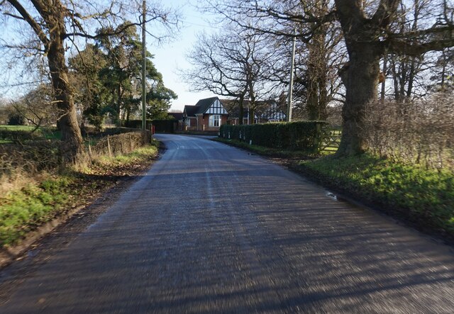
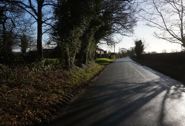
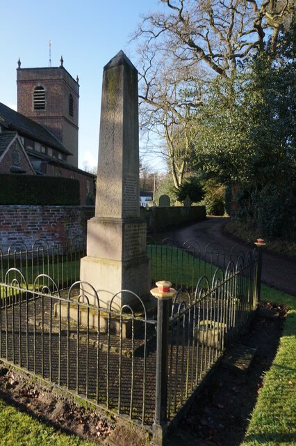
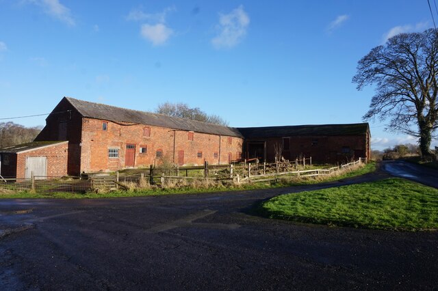
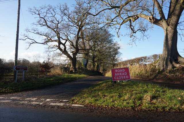
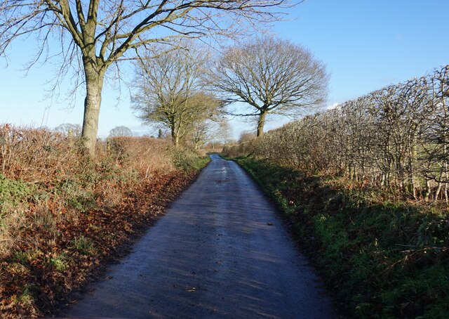
Swettenham is a picturesque village with a rich history dating back to the Domesday Book. The village is known for its charming thatched cottages, historic church, and scenic countryside views. The parish is surrounded by rolling farmland and is situated near the edge of the Peak District National Park, making it an ideal location for outdoor enthusiasts.
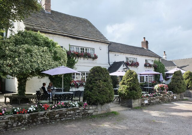
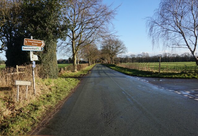
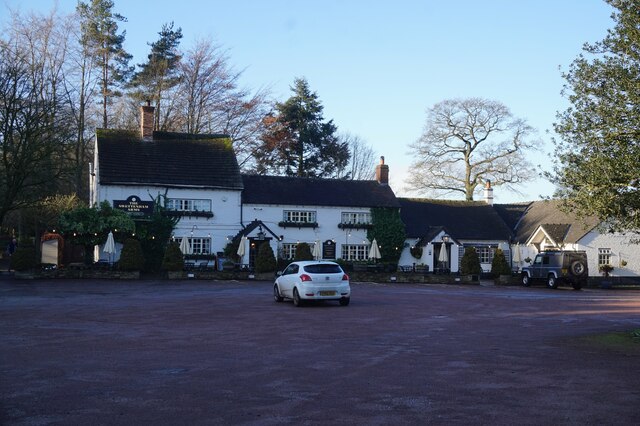
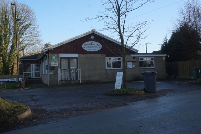
In addition to its natural beauty, Swettenham is home to several popular attractions, including the Lovell Quinta Arboretum, a 28-acre garden showcasing a diverse collection of trees and plants. The parish also boasts a traditional pub, The Swettenham Arms, which offers a warm and welcoming atmosphere for locals and visitors alike.
Overall, Swettenham is a quaint and peaceful village that offers a tranquil escape from the hustle and bustle of city life.
If you have any feedback on the listing, please let us know in the comments section below.
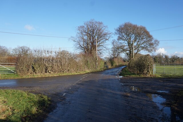
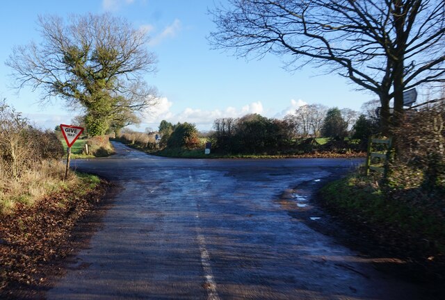
Swettenham Images
Images are sourced within 2km of 53.206281/-2.293571 or Grid Reference SJ8067. Thanks to Geograph Open Source API. All images are credited.
Swettenham is located at Grid Ref: SJ8067 (Lat: 53.206281, Lng: -2.293571)
Unitary Authority: Cheshire East
Police Authority: Cheshire
What 3 Words
///masterpiece.ruins.first. Near Goostrey, Cheshire
Nearby Locations
Related Wikis

Swettenham Meadows Nature Reserve
Swettenham Meadows is a nature reserve in Cheshire, England, on the north bank of Swettenham Brook, a short distance north east of Swettenham village and...

Swettenham
Swettenham is a village and civil parish in the unitary authority of Cheshire East and the ceremonial county of Cheshire, England. According to the 2001...
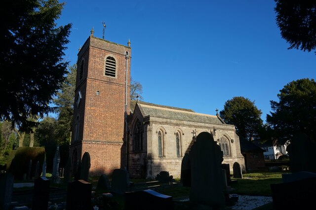
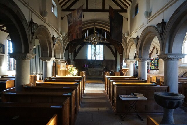
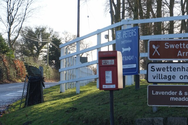
St Peter's Church, Swettenham
St Peter's Church is in the village of Swettenham, Cheshire, England. The church is recorded in the National Heritage List for England as a designated...
Swettenham Hall
Swettenham Hall is a country house standing to the southeast of the village of Swettenham, Cheshire, England. It dates from the 17th century and was remodelled...
Nearby Amenities
Located within 500m of 53.206281,-2.293571Have you been to Swettenham?
Leave your review of Swettenham below (or comments, questions and feedback).