Swillington
Settlement in Yorkshire
England
Swillington
Swillington is a charming village located in the metropolitan county of West Yorkshire, England. Situated approximately ten miles east of Leeds city center, this small community offers a tranquil and picturesque setting for its residents. Swillington is part of the City of Leeds metropolitan borough and falls within the LS26 postcode district.
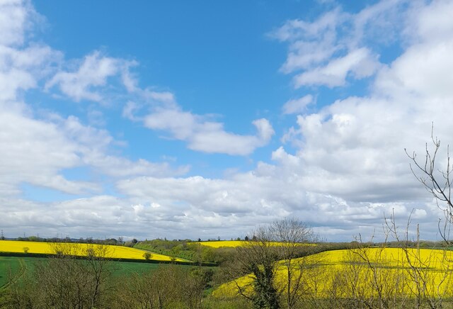
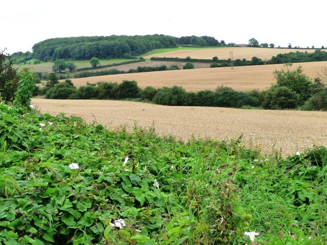
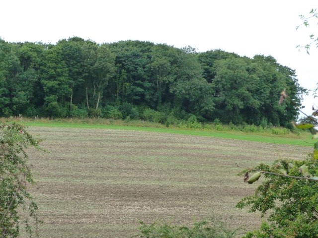
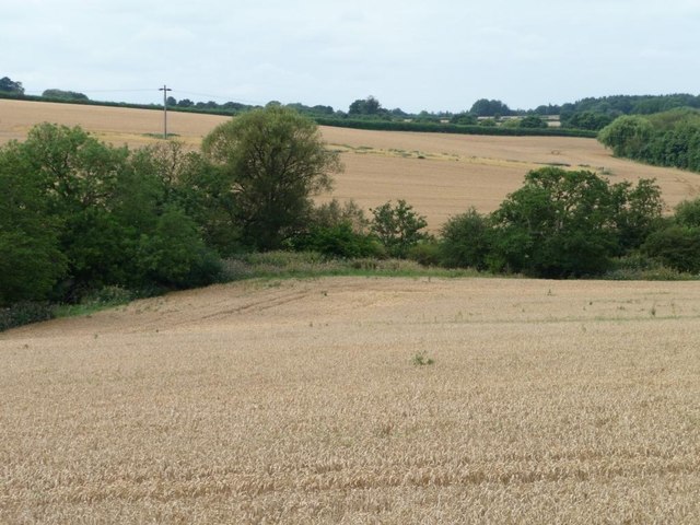
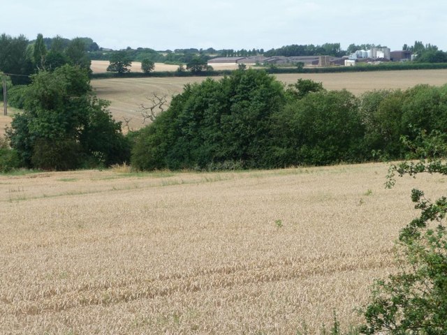
The village is surrounded by beautiful countryside, featuring rolling hills, green fields, and scenic woodlands. It is well-known for its rural character and is a popular destination for nature enthusiasts and outdoor activities such as hiking and cycling. The nearby fairytale-like Swillington House, a Grade II listed building, adds to the village's historical appeal.
Swillington has a close-knit community with a population of around 2,500 residents. It offers a range of amenities to cater to their needs, including a primary school, a village hall, and a few local shops and pubs. The village's proximity to Leeds allows residents to easily access a wider range of services and amenities, including shopping centers, restaurants, and cultural attractions.
Transportation links are convenient, with regular bus services connecting Swillington to neighboring towns and villages. The M1 motorway is also easily accessible, providing quick access to major cities like Leeds, Sheffield, and Manchester.
In conclusion, Swillington is a delightful village that combines the charm of rural living with the convenience of nearby urban centers. Its natural beauty, strong community spirit, and excellent transport links make it an attractive place to live for those seeking a peaceful yet well-connected lifestyle.
If you have any feedback on the listing, please let us know in the comments section below.
Swillington Images
Images are sourced within 2km of 53.76857/-1.417455 or Grid Reference SE3830. Thanks to Geograph Open Source API. All images are credited.

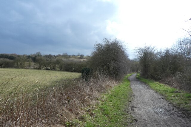
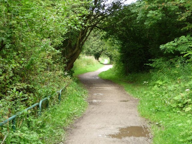
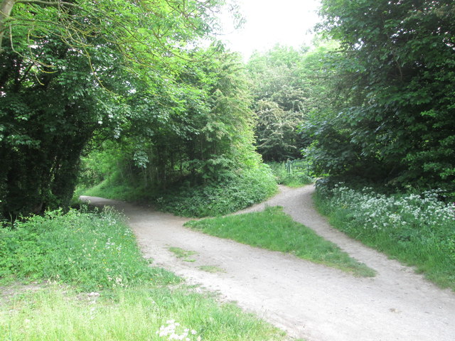
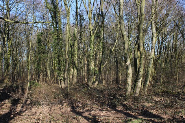
![Bridleway heading north through Townclose Hills Townclose Hills [aka Billy Woods] is based on a magnesian limestone knoll. Open access land that is both a local nature reserve and an SSSI.](https://s0.geograph.org.uk/geophotos/03/09/98/3099876_3afc2aee.jpg)
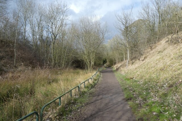
![Bridleway heading south through Townclose Hills Townclose Hills [aka Billy Woods] is based on a magnesian limestone knoll. Open access land that is both a local nature reserve and an SSSI.](https://s2.geograph.org.uk/geophotos/03/09/98/3099882_71218600.jpg)


Swillington is located at Grid Ref: SE3830 (Lat: 53.76857, Lng: -1.417455)
Division: West Riding
Unitary Authority: Leeds
Police Authority: West Yorkshire
What 3 Words
///elbow.shady.sheep. Near Swillington, West Yorkshire
Nearby Locations
Related Wikis

St Mary's Church, Swillington
St Mary's Church is located on Church Lane next to Swillington Primary School, on Wakefield Road, Swillington, West Yorkshire, England. There has been...

Swillington
Swillington is a village and civil parish near Leeds, West Yorkshire, England, in the City of Leeds metropolitan borough. It is situated 5 miles (8 km...
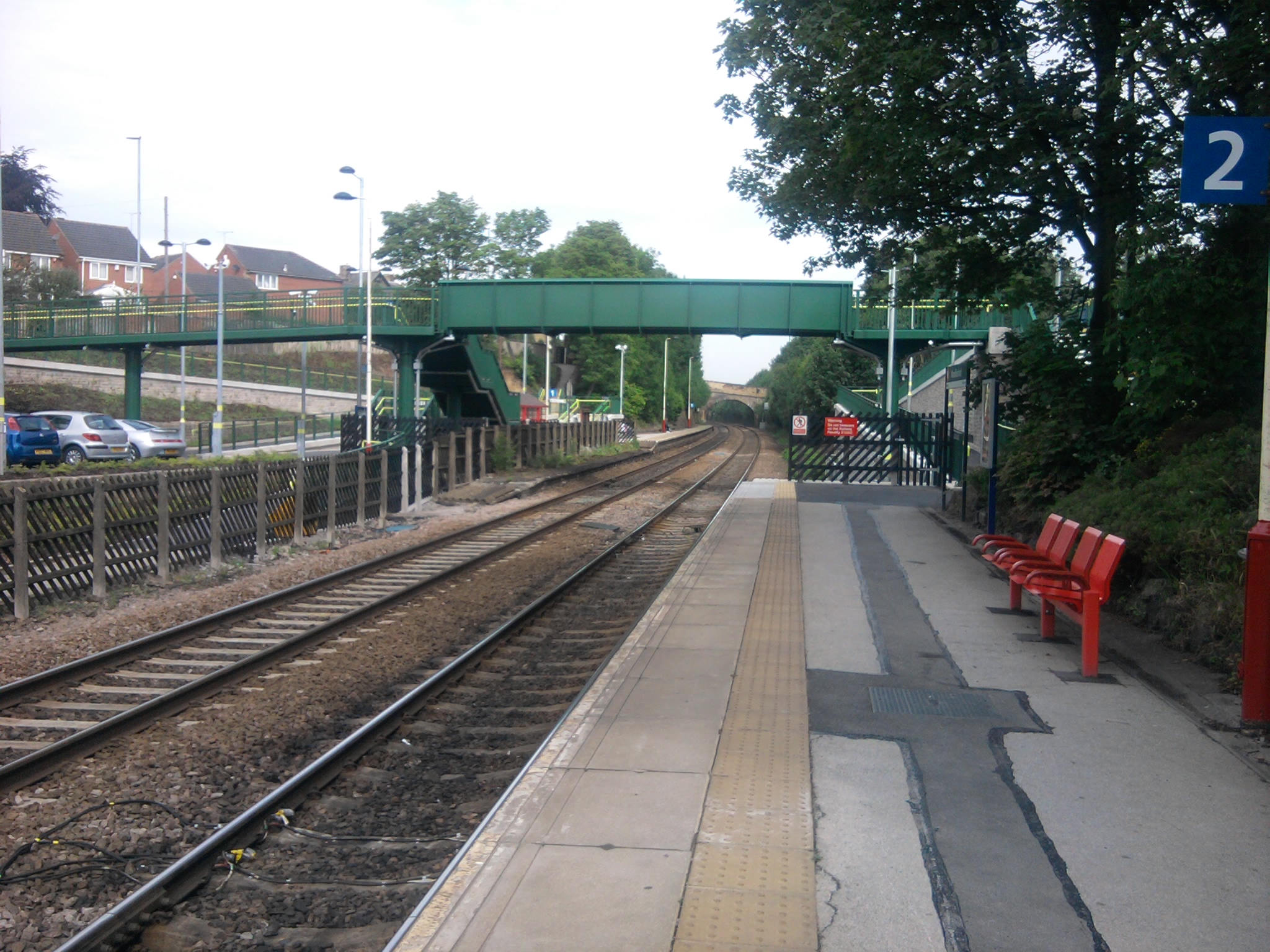
Woodlesford railway station
Woodlesford railway station serves a suburban village of Woodlesford and a town of Rothwell in West Yorkshire, England. It lies on the Hallam Line and...
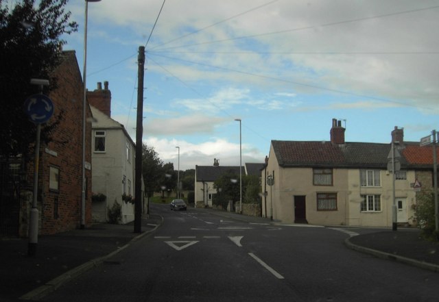
Great Preston
Great Preston is a small rural village in the City of Leeds metropolitan borough, West Yorkshire, England. It has incorporated the once neighbouring hamlet...
Nearby Amenities
Located within 500m of 53.76857,-1.417455Have you been to Swillington?
Leave your review of Swillington below (or comments, questions and feedback).