Streatley

Civil Parish in Berkshire

England

Streatley

The B4009 at Westridge Green
The B4009 at Westridge Green Credit: David Howard

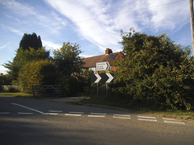
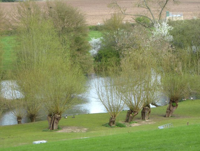
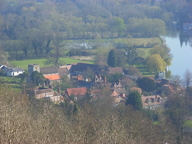
Streatley is a civil parish located in the ceremonial county of Berkshire, England. Situated on the banks of the River Thames, it forms part of the larger Goring-on-Thames and Streatley twin village. Streatley lies on the western side of the river, directly opposite Goring-on-Thames, and is connected by a bridge that dates back to the 19th century.

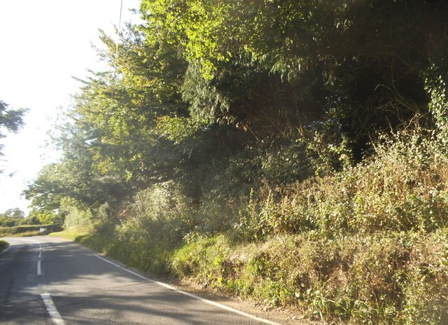
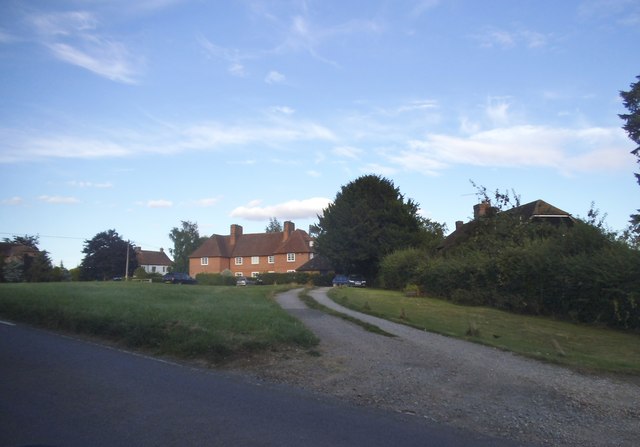
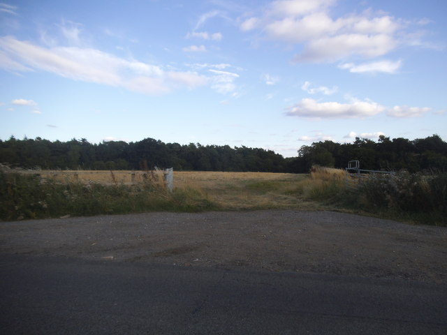
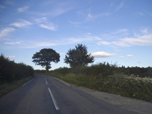
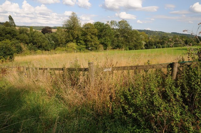
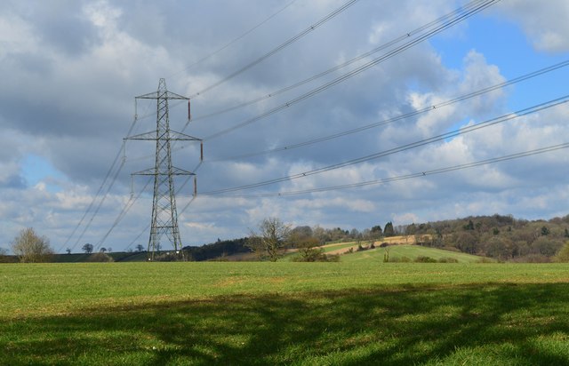
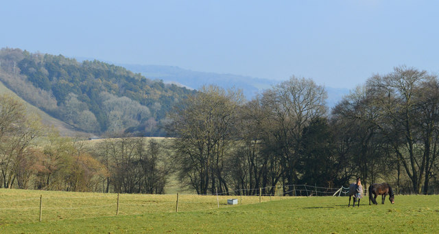
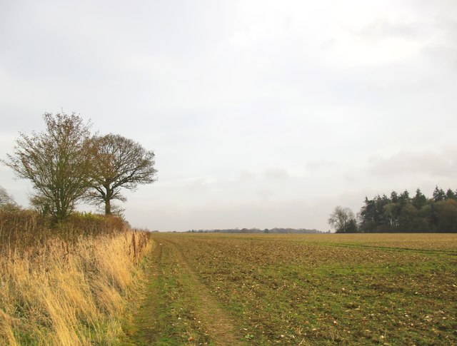
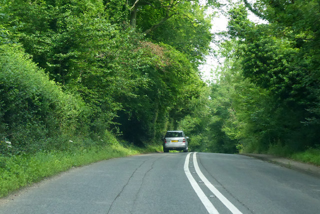
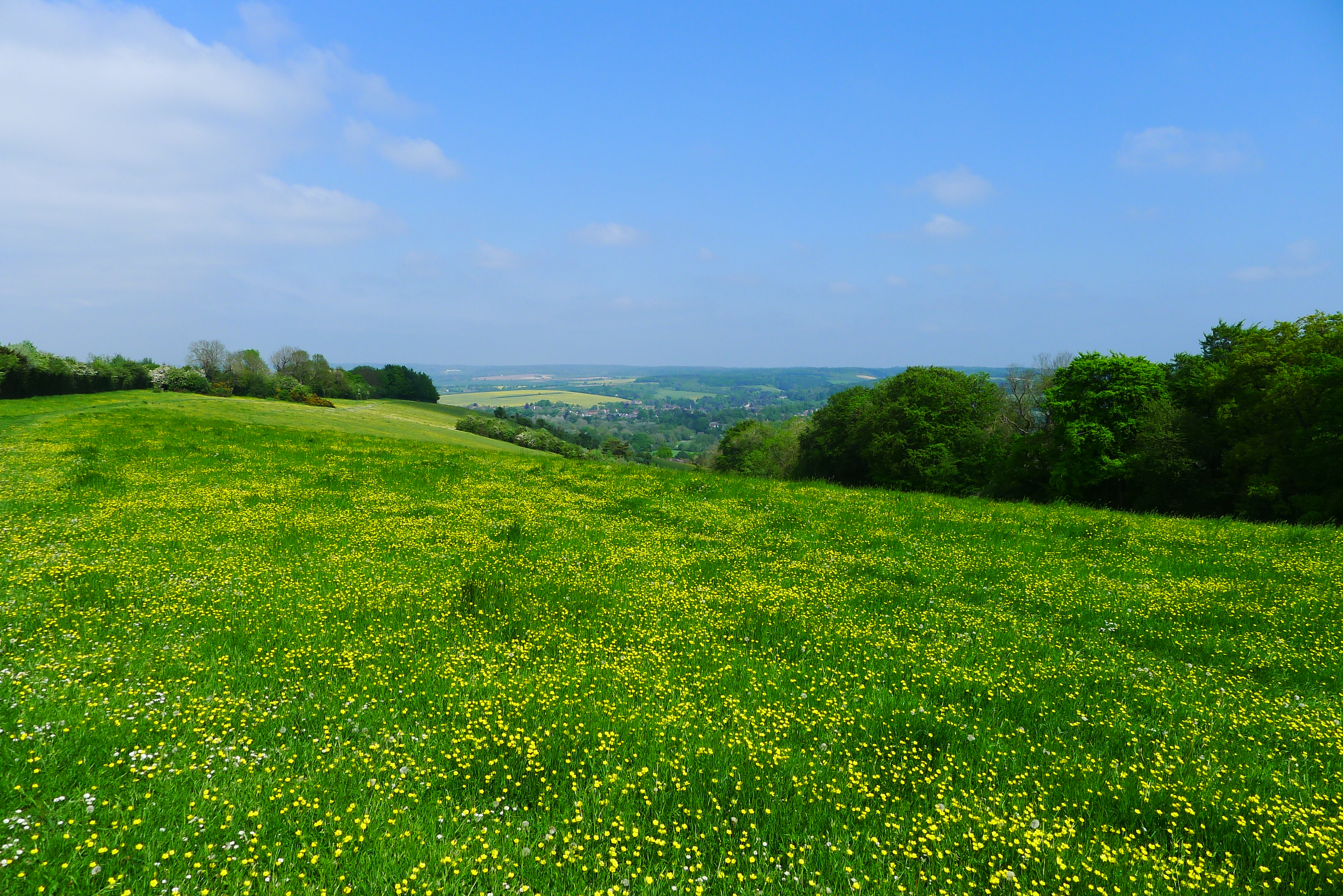
The parish covers an area of approximately 2.23 square kilometers and has a population of around 600 residents. It is known for its picturesque and idyllic setting, surrounded by lush countryside and rolling hills. The area is popular with both locals and tourists, attracting visitors throughout the year who come to enjoy the stunning natural scenery and explore the nearby Chiltern Hills Area of Outstanding Natural Beauty.

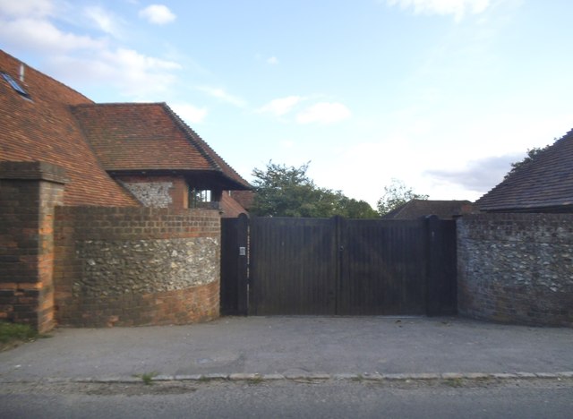
Streatley has a rich history, with evidence of human settlement dating back to the prehistoric period. The village grew in importance during the medieval era, serving as a stopping point for travelers and pilgrims en route to the famous nearby abbey at Reading. Today, the village retains much of its historic charm, with a number of well-preserved buildings and landmarks, including the 12th-century St. Mary's Church.

The village offers a range of amenities and facilities for both residents and visitors, including a selection of shops, pubs, and restaurants. Outdoor enthusiasts can enjoy activities such as boating, fishing, and hiking, making Streatley an ideal destination for those seeking a peaceful and scenic retreat in the heart of the Berkshire countryside.

If you have any feedback on the listing, please let us know in the comments section below.
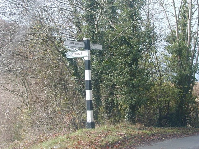
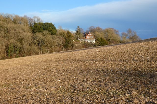
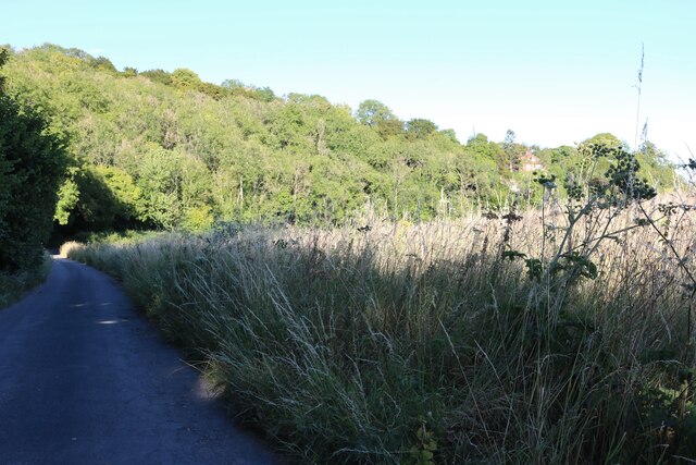
Streatley Images

Images are sourced within 2km of 51.520638/-1.165062 or Grid Reference SU5880. Thanks to Geograph Open Source API. All images are credited.

The B4009 at Westridge Green
Westridge Green
Westridge Green
The entrance to Westridge Manor Farm This appears to have been converted to very large houses
The entrance to Westridge Manor Farm
This appears to have been converted to very large houses
Field entrance in Westridge Green
The B4009, Westridge Green
Farmland above the River Thames Farmland above the River Thames, south of Streatley.
Farmland above the River Thames
Farmland above the River Thames, south of Streatley.
Farmland, Streatley, Berkshire
Downland, Stichens Green, Berkshire
Westridge Manor Farm You are quite high up here - the OS shows a spot-height of 164m nearby.  The road is the B4009, which has to negotiate a long, sharp descent to reach the level of the Thames floodplain at Streatley.
Westridge Manor Farm
You are quite high up here - the OS shows a spot-height of 164m nearby. The road is the B4009, which has to negotiate a long, sharp descent to reach the level of the Thames floodplain at Streatley.
Downland arable near Westridge Green The land may be fairly level, but the elevation here is about 165m.  Photo taken on a mild but rather sunless afternoon in December.
Downland arable near Westridge Green
The land may be fairly level, but the elevation here is about 165m. Photo taken on a mild but rather sunless afternoon in December.
Old pollard willows on the river bank, downstream from Streatley There are some very ancient-looking  pollard willows along this stretch of the Thames.  These are on private land, so I took a zoom shot from close to the A329.

These trees also appear in Bill Nicholls' contribution <a href="https://www.geograph.org.uk/photo/1592751">SU5979 : Island in the river</a> near the right-hand margin.
Old pollard willows on the river bank, downstream from Streatley
There are some very ancient-looking pollard willows along this stretch of the Thames. These are on private land, so I took a zoom shot from close to the A329. These trees also appear in Bill Nicholls' contribution SU5979 : Island in the river near the right-hand margin.
A329 towards Streatley Passing Holies Walk Wood.
A329 towards Streatley
Passing Holies Walk Wood.
Direction Sign – Signpost Located on the west side of the t junction east of Wood Farm in Streatley parish. 3 arms and a flat cap.

Milestone Society National ID: BE_SU5879
Direction Sign – Signpost
Located on the west side of the t junction east of Wood Farm in Streatley parish. 3 arms and a flat cap. Milestone Society National ID: BE_SU5879
Farmland, Streatley With a house perched on a hillside at the southern end of Ash Copse.
Farmland, Streatley
With a house perched on a hillside at the southern end of Ash Copse.
Farmland, Streatley A crop of linseed to the east of Southridge.
Farmland, Streatley
A crop of linseed to the east of Southridge.
Lane in Stichens Green
Common Wood near Streatley
Show me another place!

Streatley is located at Grid Ref: SU5880 (Lat: 51.520638, Lng: -1.165062)

Unitary Authority: West Berkshire

Police Authority: Thames Valley

What 3 Words

///ironclad.altering.grapevine. Near Goring, Oxfordshire

Related Wikis

Lardon Chase, the Holies and Lough Down

Lardon Chase, the Holies and Lough Down is a National Trust countryside property in the English county of Berkshire. It is situated on the edge of the...

Goring & Streatley Golf Club

Goring & Streatley Golf Club is a golf course in the village of Streatley, in the English county of Berkshire. It takes its name partly from that village...

Genetic Studios

Genetic Studios (also known as Genetic Sound) was a recording studio in Streatley, England. == History == Genetic was established in 1980 by Martin Rushent...

Lardon Chase

Lardon Chase is a 14.9-hectare (37-acre) biological Site of Special Scientific Interest in Streatley in Berkshire. It is in the North Wessex Downs, which...

Streatley, Berkshire

Streatley is a village and civil parish on the River Thames in Berkshire, England. The village faces Goring-on-Thames. The two places share in their shops...

Holies Down

Holies Down is a 5.6-hectare (14-acre) biological Site of Special Scientific Interest south of Streatley in Berkshire. It is in the North Wessex Downs...

Goring and Streatley Bridge

Goring and Streatley Bridge is a road bridge across the River Thames in England. The bridge links the twin villages of Goring-on-Thames, Oxfordshire, and...

Goring Lock

Goring Lock is a lock and weir situated on the River Thames in England at the Goring Gap in the Chiltern Hills. The lock is located on the Oxfordshire...

Nearby Amenities

Located within 500m of 51.520638,-1.165062
Barrier: stile
Lat/Long: 51.5196038/-1.1612512
Barrier: kissing_gate
Lat/Long: 51.5183627/-1.1612086
Barrier: kissing_gate
Bicycle: no
Foot: yes
Horse: no
Motor Vehicle: no
Lat/Long: 51.5223097/-1.1606994
Barrier: kissing_gate
Lat/Long: 51.5187094/-1.1599765
Colour: yellow
Marker: post
Material: plastic
Note: See https://www.geograph.org.uk/photo/3037648
Utility: electric
Lat/Long: 51.5189902/-1.1692319
Colour: yellow
Marker: post
Material: plastic
Note: See https://www.geograph.org.uk/photo/3037648
Utility: electric
Lat/Long: 51.5189151/-1.1693946
Colour: yellow and white
Marker: aerial
Material: plastic
Note: See https://www.geograph.org.uk/photo/3037648
Utility: electric
Lat/Long: 51.5189107/-1.1694098
Colour: yellow and white
Marker: aerial
Material: plastic
Note: See https://www.geograph.org.uk/photo/3037648
Utility: electric
Lat/Long: 51.5189943/-1.1692363
The data included in this document is from www.openstreetmap.org. The data is made available under ODbL.

Have you been to Streatley?

Leave your review of Streatley below (or comments, questions and feedback).