Checkendon Wood

Wood, Forest in Berkshire

England

Checkendon Wood

Grazing near Goring
Grazing near Goring Credit: JThomas

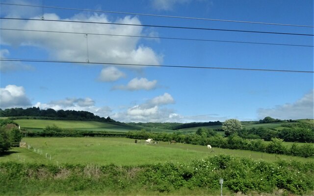
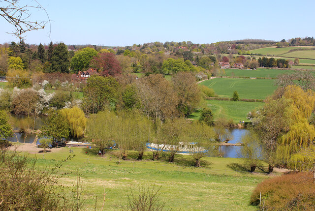
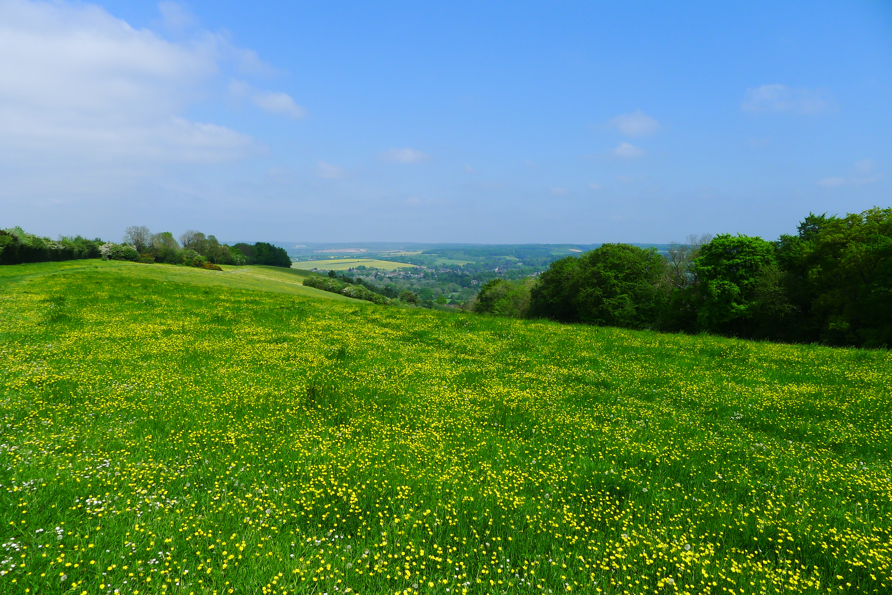
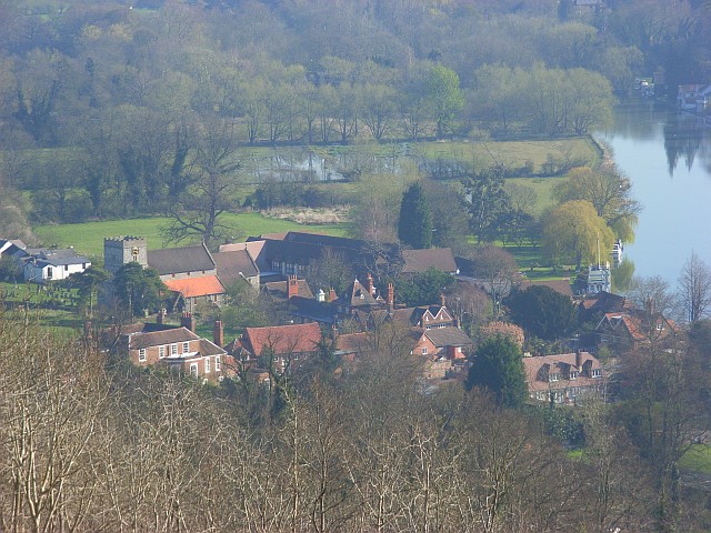
Checkendon Wood is a picturesque woodland located in the county of Berkshire, England. Covering an area of approximately 50 acres, it is situated near the village of Checkendon, within the Chiltern Hills Area of Outstanding Natural Beauty.

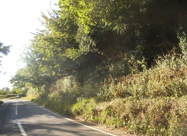
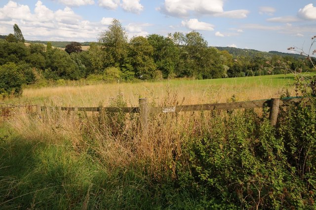
The wood is primarily composed of native broadleaf trees, including oak, beech, and birch, which create a diverse and vibrant ecosystem. The canopy of these majestic trees provides shade and shelter for a wide variety of plant and animal species. Bluebells and wild garlic carpet the forest floor in spring, while ferns, mosses, and fungi thrive in the damp and shaded areas.

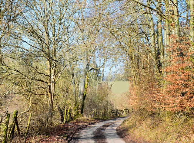
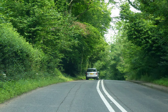
Visitors to Checkendon Wood can enjoy peaceful walks along the well-maintained paths that crisscross the woodland. The paths meander through a mixture of open glades and dense woodland, offering glimpses of sunlight filtering through the leaves and creating a magical atmosphere. Birdsong fills the air, with species such as woodpeckers, thrushes, and finches commonly heard and spotted.

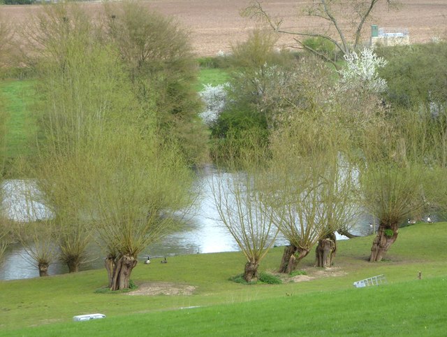
The wood also boasts a small stream that meanders through its heart, adding to its natural beauty. This water source attracts a variety of wildlife, including deer, squirrels, and rabbits. It is not uncommon to spot a fox or badger roaming the woodland during quieter times of the day.

Overall, Checkendon Wood is a tranquil and enchanting forest, providing a haven for nature lovers and those seeking a peaceful escape from the hustle and bustle of everyday life. Its natural beauty, diverse flora and fauna, and well-maintained paths make it a popular destination for both locals and visitors to Berkshire.

If you have any feedback on the listing, please let us know in the comments section below.

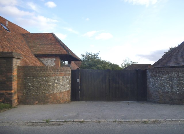
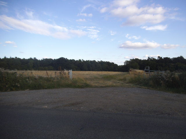
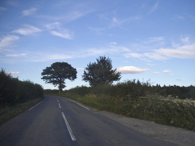
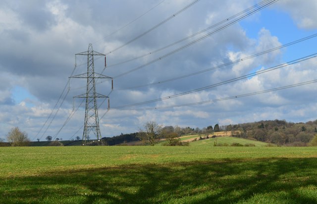
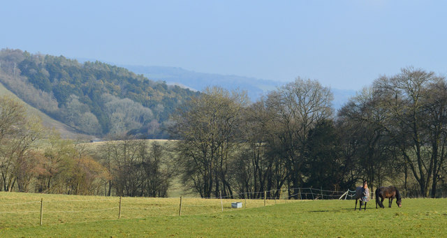
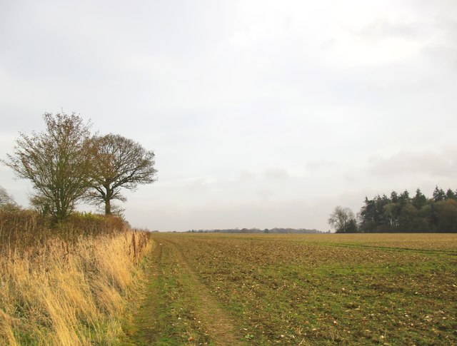
Checkendon Wood Images

Images are sourced within 2km of 51.516061/-1.1590933 or Grid Reference SU5880. Thanks to Geograph Open Source API. All images are credited.

Grazing near Goring
Grazing near Goring
Tesco Express, Goring This building, on the corner of Gatehampton Road and Reading Road, is unmistakeably a former pub - one of many around the country taken over by Tesco for a convenience store. Until it was closed in 2013 it was the Queens Arms, owned by Greene King, and opened by Tesco in August 2017. It is not known exactly when the pub was established; the first known reference was in 1843 but it seems likely that it was more or less contemporary with the nearby railway station opened a few years before.
Tesco Express, Goring
This building, on the corner of Gatehampton Road and Reading Road, is unmistakeably a former pub - one of many around the country taken over by Tesco for a convenience store. Until it was closed in 2013 it was the Queens Arms, owned by Greene King, and opened by Tesco in August 2017. It is not known exactly when the pub was established; the first known reference was in 1843 but it seems likely that it was more or less contemporary with the nearby railway station opened a few years before.
Gatehampton Road, Goring This is the view of Goring anybody emerging from Goring & Streatley station gets. In this image the main station buildings, protected by a canopy, are on the immediate left with a covered cycle rack beyond. The late afternoon sunshine catches the buildings further up the road, including a former pub now a Tesco Express, while three teenage boys approach having finished school for the day. The National Rail sign, perched on top of a high pole, completes the scene. Although an ancient settlement, Goring began to develop when the railway arrived in the 1830s and is now a sizeable commuter village with a population in excess of 3,000. Streatley is a smaller place connected to Goring by a bridge over the River Thames.
Gatehampton Road, Goring
This is the view of Goring anybody emerging from Goring & Streatley station gets. In this image the main station buildings, protected by a canopy, are on the immediate left with a covered cycle rack beyond. The late afternoon sunshine catches the buildings further up the road, including a former pub now a Tesco Express, while three teenage boys approach having finished school for the day. The National Rail sign, perched on top of a high pole, completes the scene. Although an ancient settlement, Goring began to develop when the railway arrived in the 1830s and is now a sizeable commuter village with a population in excess of 3,000. Streatley is a smaller place connected to Goring by a bridge over the River Thames.
The B4009 at Westridge Green
The entrance to Westridge Manor Farm This appears to have been converted to very large houses
The entrance to Westridge Manor Farm
This appears to have been converted to very large houses
Field entrance in Westridge Green
The B4009, Westridge Green
Farmland above the River Thames Farmland above the River Thames, south of Streatley.
Farmland above the River Thames
Farmland above the River Thames, south of Streatley.
Farmland, Streatley, Berkshire
Downland, Stichens Green, Berkshire
Country lane, Lower Basildon, Berkshire
Westridge Manor Farm You are quite high up here - the OS shows a spot-height of 164m nearby.  The road is the B4009, which has to negotiate a long, sharp descent to reach the level of the Thames floodplain at Streatley.
Westridge Manor Farm
You are quite high up here - the OS shows a spot-height of 164m nearby. The road is the B4009, which has to negotiate a long, sharp descent to reach the level of the Thames floodplain at Streatley.
Downland arable near Westridge Green The land may be fairly level, but the elevation here is about 165m.  Photo taken on a mild but rather sunless afternoon in December.
Downland arable near Westridge Green
The land may be fairly level, but the elevation here is about 165m. Photo taken on a mild but rather sunless afternoon in December.
Old pollard willows on the river bank, downstream from Streatley There are some very ancient-looking  pollard willows along this stretch of the Thames.  These are on private land, so I took a zoom shot from close to the A329.

These trees also appear in Bill Nicholls' contribution <a href="https://www.geograph.org.uk/photo/1592751">SU5979 : Island in the river</a> near the right-hand margin.
Old pollard willows on the river bank, downstream from Streatley
There are some very ancient-looking pollard willows along this stretch of the Thames. These are on private land, so I took a zoom shot from close to the A329. These trees also appear in Bill Nicholls' contribution SU5979 : Island in the river near the right-hand margin.
A329 towards Streatley Passing Holies Walk Wood.
A329 towards Streatley
Passing Holies Walk Wood.
Direction Sign – Signpost Located on the west side of the t junction east of Wood Farm in Streatley parish. 3 arms and a flat cap.

Milestone Society National ID: BE_SU5879
Direction Sign – Signpost
Located on the west side of the t junction east of Wood Farm in Streatley parish. 3 arms and a flat cap. Milestone Society National ID: BE_SU5879
A329, Reading Road towards Streatley
River Thames The River Thames at Goring.
River Thames
The River Thames at Goring.
Show me another place!

Checkendon Wood is located at Grid Ref: SU5880 (Lat: 51.516061, Lng: -1.1590933)

Unitary Authority: West Berkshire

Police Authority: Thames Valley

What 3 Words

///throats.whisker.suspect. Near Goring, Oxfordshire

Related Wikis

Lardon Chase, the Holies and Lough Down

Lardon Chase, the Holies and Lough Down is a National Trust countryside property in the English county of Berkshire. It is situated on the edge of the...

Genetic Studios

Genetic Studios (also known as Genetic Sound) was a recording studio in Streatley, England. == History == Genetic was established in 1980 by Martin Rushent...

Goring & Streatley Golf Club

Goring & Streatley Golf Club is a golf course in the village of Streatley, in the English county of Berkshire. It takes its name partly from that village...

Lardon Chase

Lardon Chase is a 14.9-hectare (37-acre) biological Site of Special Scientific Interest in Streatley in Berkshire. It is in the North Wessex Downs, which...

Holies Down

Holies Down is a 5.6-hectare (14-acre) biological Site of Special Scientific Interest south of Streatley in Berkshire. It is in the North Wessex Downs...

Streatley, Berkshire

Streatley is a village and civil parish on the River Thames in Berkshire, England. The village faces Goring-on-Thames. The two places share in their shops...

Goring and Streatley Bridge

Goring and Streatley Bridge is a road bridge across the River Thames in England. The bridge links the twin villages of Goring-on-Thames, Oxfordshire, and...

Goring Lock

Goring Lock is a lock and weir situated on the River Thames in England at the Goring Gap in the Chiltern Hills. The lock is located on the Oxfordshire...

Nearby Amenities

Located within 500m of 51.516061,-1.1590933
Bench
Backrest: no
Check Date: 2022-12-03
Lat/Long: 51.517397/-1.1578077
Barrier: stile
Lat/Long: 51.5196038/-1.1612512
Bench
Backrest: no
Lat/Long: 51.5182352/-1.15351
Barrier: kissing_gate
Lat/Long: 51.515856/-1.1539978
Barrier: stile
Lat/Long: 51.5165915/-1.1536851
Barrier: kissing_gate
Lat/Long: 51.5183627/-1.1612086
Bench
Backrest: no
Lat/Long: 51.51675/-1.1545849
Barrier: stile
Lat/Long: 51.5165192/-1.1602132
Barrier: kissing_gate
Lat/Long: 51.5187094/-1.1599765
Bench
Lat/Long: 51.5181488/-1.158047
The data included in this document is from www.openstreetmap.org. The data is made available under ODbL.

Have you been to Checkendon Wood?

Leave your review of Checkendon Wood below (or comments, questions and feedback).