Coombe Bottom
Valley in Berkshire
England
Coombe Bottom
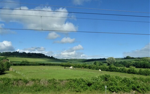
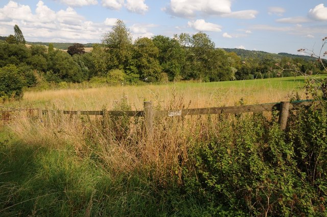
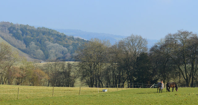
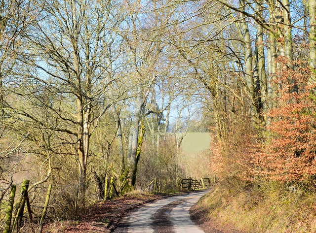
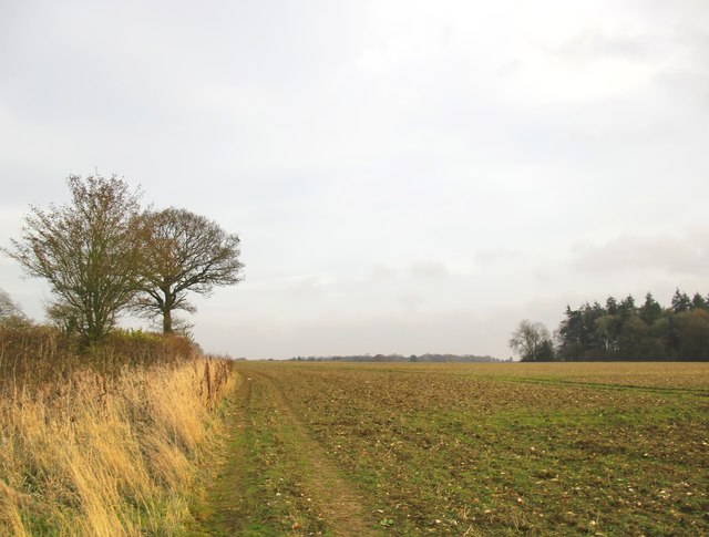
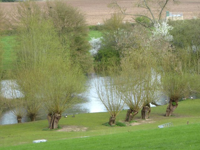
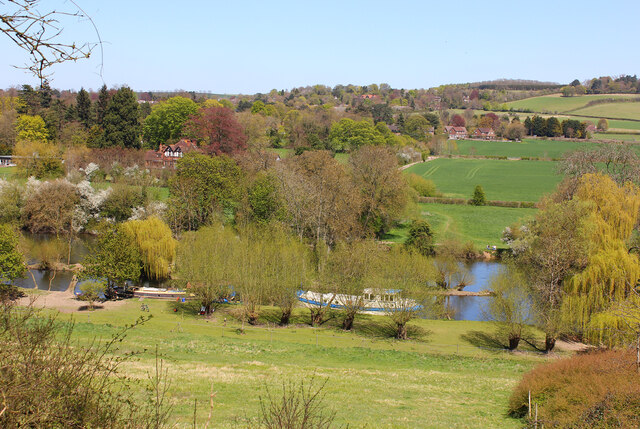
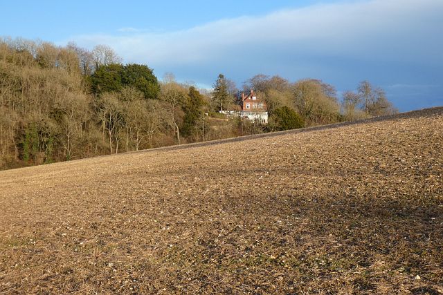
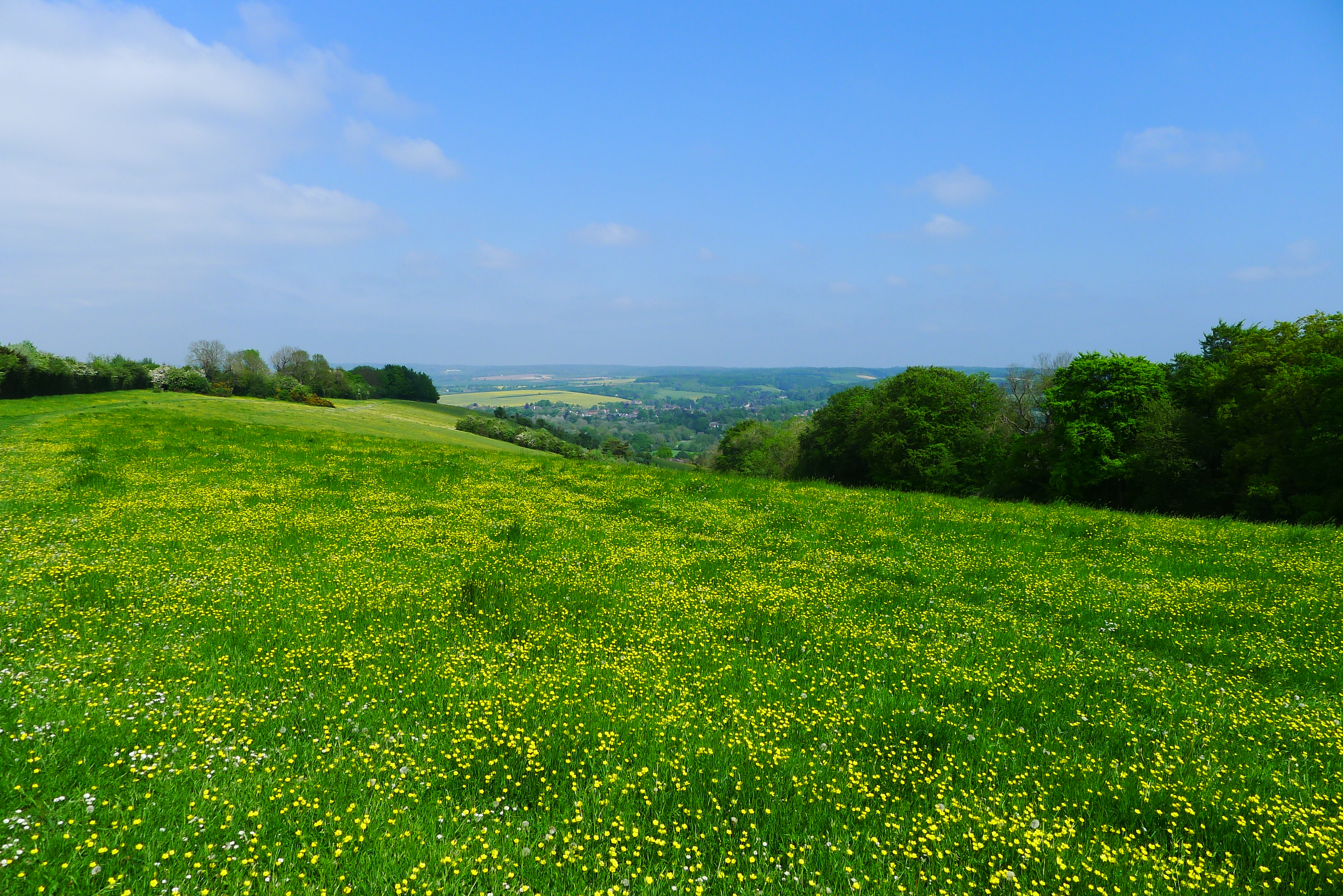
Coombe Bottom, Berkshire, is a picturesque valley located in the southern part of England. Situated in the county of Berkshire, the valley is known for its natural beauty and tranquil atmosphere. The valley is surrounded by rolling hills and dense woodland, creating a stunning backdrop for nature enthusiasts and hikers.
Coombe Bottom is home to a diverse range of flora and fauna, making it a haven for wildlife lovers. The valley's lush meadows are adorned with colorful wildflowers, while its ancient woodland provides a habitat for various species of birds, mammals, and insects. Visitors can often spot deer, foxes, and rabbits roaming freely in the area.
The valley is crisscrossed by babbling brooks and small streams, adding to its charm and offering a serene environment for a leisurely walk or picnic. The sound of water cascading over rocks and the rustling of leaves create a soothing ambiance, ideal for those seeking a peaceful escape from the bustle of everyday life.
Coombe Bottom is also known for its historical significance. The valley has been inhabited since ancient times, and remnants of Iron Age settlements can still be found in the area. Archaeological excavations have unearthed artifacts and tools that provide insights into the valley's past.
Overall, Coombe Bottom, Berkshire, offers a breathtaking natural landscape, rich biodiversity, and a glimpse into the region's history. Whether exploring the valley's trails, observing wildlife, or simply enjoying the tranquility, visitors are sure to find solace in this enchanting slice of Berkshire.
If you have any feedback on the listing, please let us know in the comments section below.
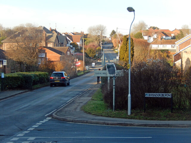
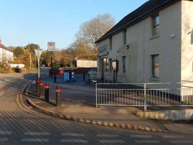
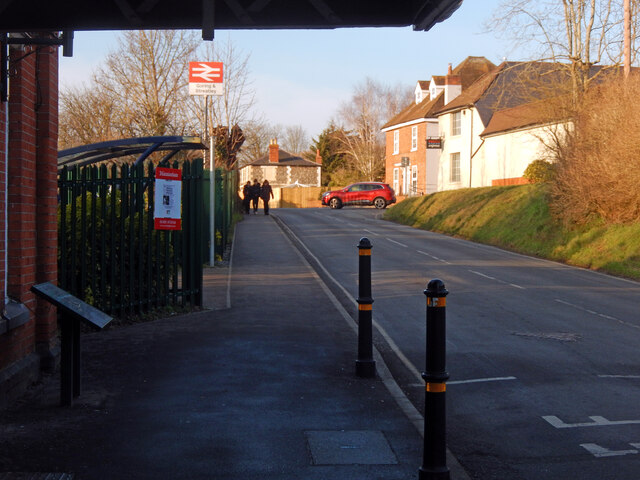
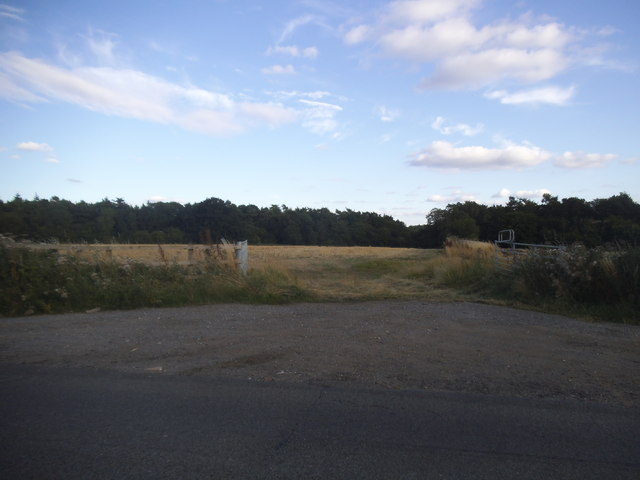
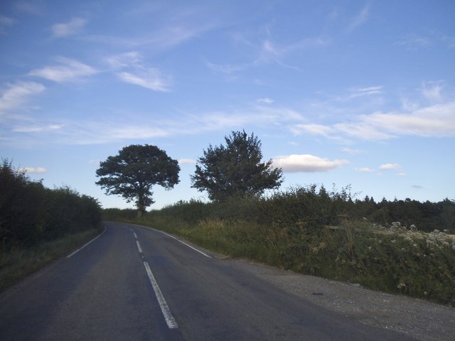
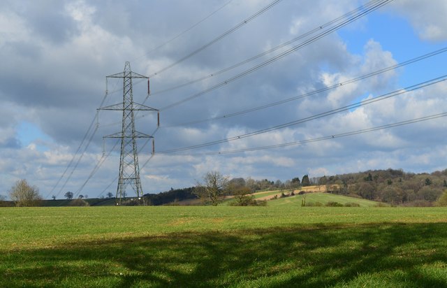
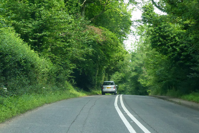
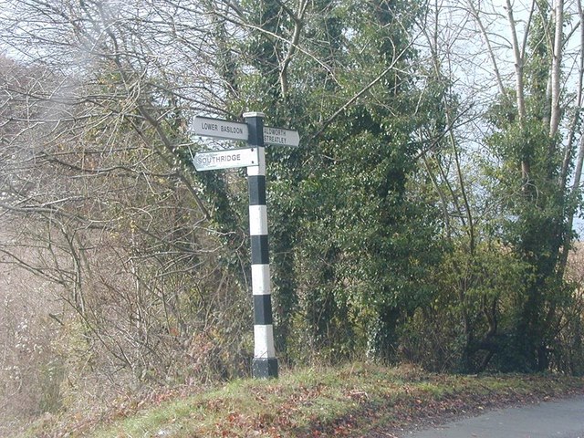
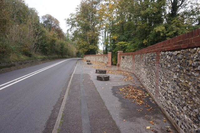
Coombe Bottom Images
Images are sourced within 2km of 51.521675/-1.1546227 or Grid Reference SU5880. Thanks to Geograph Open Source API. All images are credited.

Coombe Bottom is located at Grid Ref: SU5880 (Lat: 51.521675, Lng: -1.1546227)
Unitary Authority: West Berkshire
Police Authority: Thames Valley
What 3 Words
///labs.jots.nightcap. Near Goring, Oxfordshire
Nearby Locations
Related Wikis
Lardon Chase
Lardon Chase is a 14.9-hectare (37-acre) biological Site of Special Scientific Interest in Streatley in Berkshire. It is in the North Wessex Downs, which...

Genetic Studios
Genetic Studios (also known as Genetic Sound) was a recording studio in Streatley, England. == History == Genetic was established in 1980 by Martin Rushent...
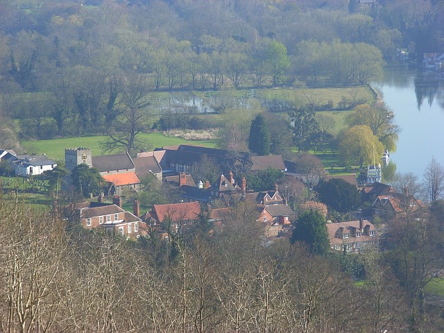
Streatley, Berkshire
Streatley is a village and civil parish on the River Thames in Berkshire, England. The village faces Goring-on-Thames. The two places share in their shops...

Lardon Chase, the Holies and Lough Down
Lardon Chase, the Holies and Lough Down is a National Trust countryside property in the English county of Berkshire. It is situated on the edge of the...

Goring & Streatley Golf Club
Goring & Streatley Golf Club is a golf course in the village of Streatley, in the English county of Berkshire. It takes its name partly from that village...

Goring and Streatley Bridge
Goring and Streatley Bridge is a road bridge across the River Thames in England. The bridge links the twin villages of Goring-on-Thames, Oxfordshire, and...

Goring Lock
Goring Lock is a lock and weir situated on the River Thames in England at the Goring Gap in the Chiltern Hills. The lock is located on the Oxfordshire...
Goring Gap
The Goring Gap is the narrow valley, occupied by the River Thames, between the Chiltern Hills and the Berkshire Downs. It is approximately 10 miles (16...
Nearby Amenities
Located within 500m of 51.521675,-1.1546227Have you been to Coombe Bottom?
Leave your review of Coombe Bottom below (or comments, questions and feedback).