Parsonage Wood
Wood, Forest in Berkshire
England
Parsonage Wood
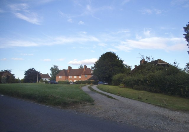
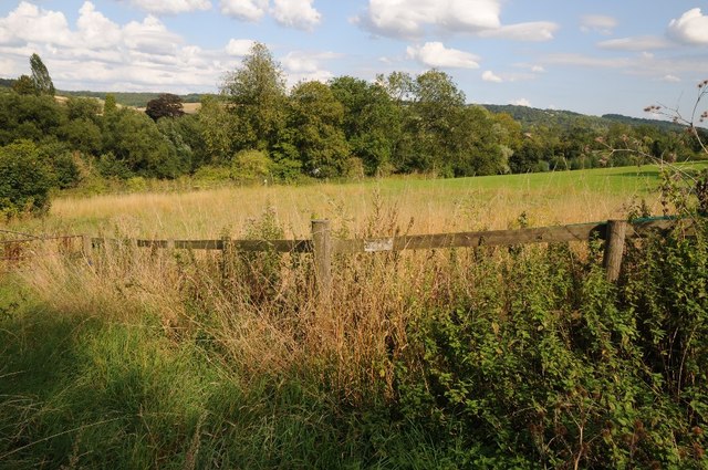
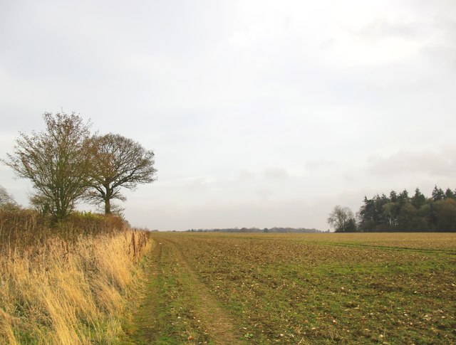
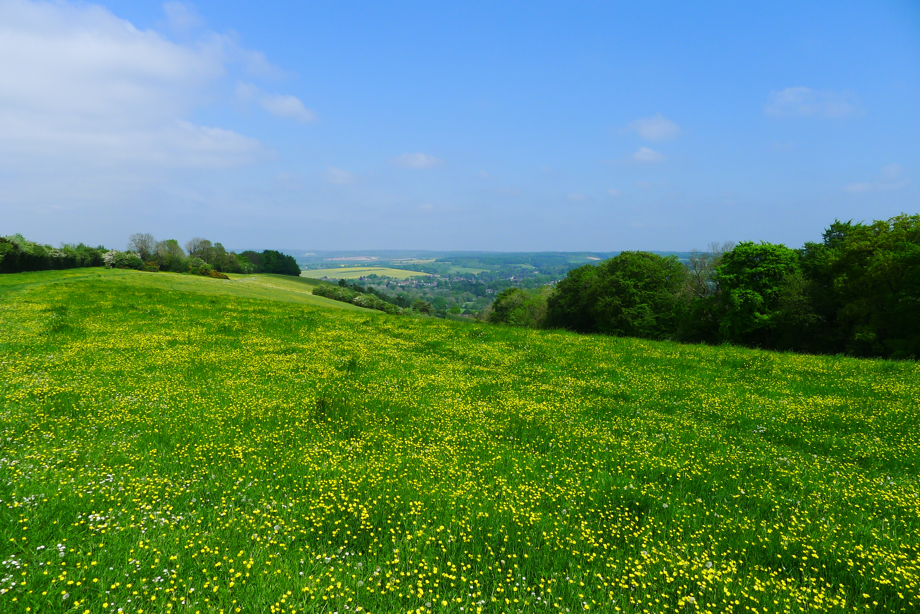
Parsonage Wood, located in Berkshire, England, is a charming woodland area that offers a tranquil escape from the hustle and bustle of urban life. Covering an approximate area of 20 acres, this woodland is a true haven for nature enthusiasts and those seeking a peaceful retreat.
The wood is primarily composed of native tree species such as oak, ash, and beech, which create a dense canopy and provide shelter for an array of wildlife. Walking through the wood, visitors can admire the majestic trees and enjoy the dappled sunlight filtering through the leaves.
Parsonage Wood is home to a diverse range of flora and fauna. Bluebells carpet the forest floor in the spring, creating a breathtaking sea of blue. Various species of birds, including woodpeckers and nuthatches, can be heard and spotted throughout the year. Squirrels scurry among the branches, adding a playful touch to the woodland ambiance.
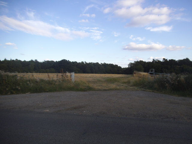
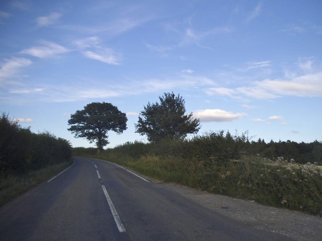
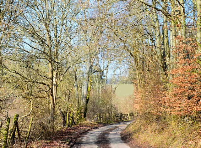
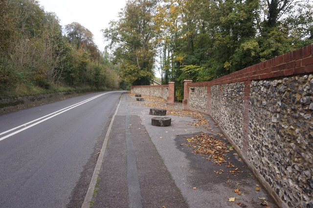
The wood features well-maintained footpaths that wind their way through the trees, allowing visitors to explore the area at their leisure. These paths are suitable for all ages and abilities, making the wood an ideal destination for families, dog walkers, and nature lovers alike.
Managed by the local council, Parsonage Wood is open to the public throughout the year, free of charge. Visitors are encouraged to respect the natural environment and keep dogs under control to ensure the preservation of this precious woodland ecosystem.
Overall, Parsonage Wood is a cherished natural gem in Berkshire, offering a serene and picturesque setting for individuals to connect with nature and enjoy the beauty of the British countryside.
If you have any feedback on the listing, please let us know in the comments section below.
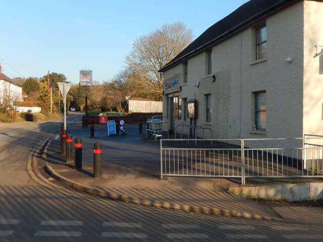
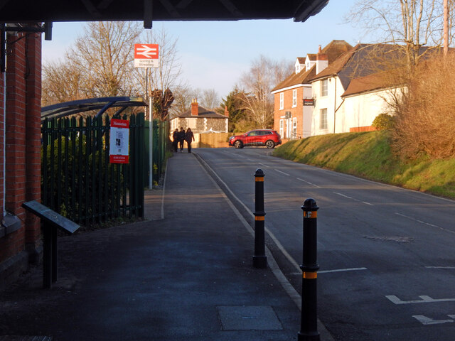
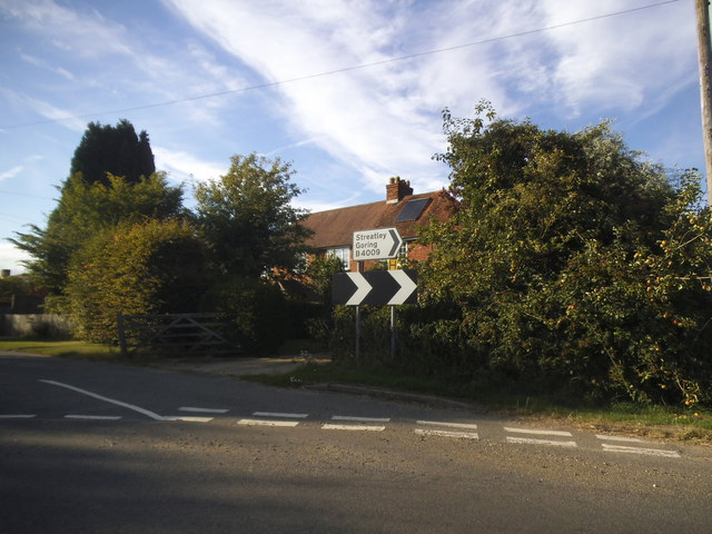
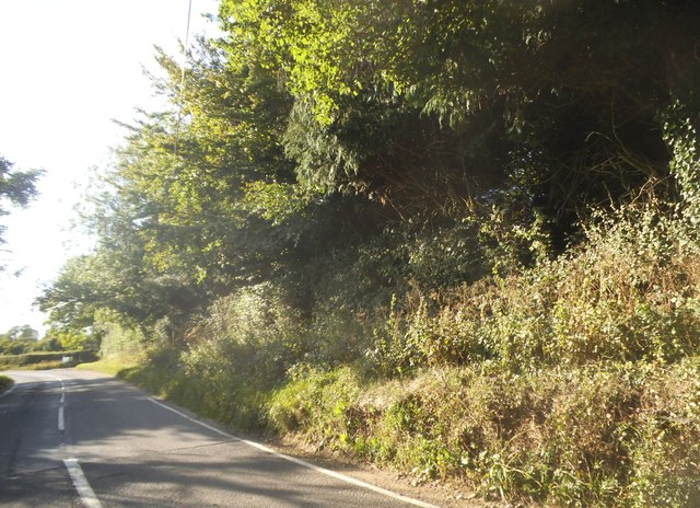
Parsonage Wood Images
Images are sourced within 2km of 51.518157/-1.1604527 or Grid Reference SU5880. Thanks to Geograph Open Source API. All images are credited.

Parsonage Wood is located at Grid Ref: SU5880 (Lat: 51.518157, Lng: -1.1604527)
Unitary Authority: West Berkshire
Police Authority: Thames Valley
What 3 Words
///dabbled.standards.prowl. Near Goring, Oxfordshire
Nearby Locations
Related Wikis

Lardon Chase, the Holies and Lough Down
Lardon Chase, the Holies and Lough Down is a National Trust countryside property in the English county of Berkshire. It is situated on the edge of the...

Genetic Studios
Genetic Studios (also known as Genetic Sound) was a recording studio in Streatley, England. == History == Genetic was established in 1980 by Martin Rushent...

Goring & Streatley Golf Club
Goring & Streatley Golf Club is a golf course in the village of Streatley, in the English county of Berkshire. It takes its name partly from that village...
Lardon Chase
Lardon Chase is a 14.9-hectare (37-acre) biological Site of Special Scientific Interest in Streatley in Berkshire. It is in the North Wessex Downs, which...
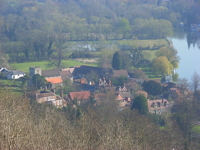
Streatley, Berkshire
Streatley is a village and civil parish on the River Thames in Berkshire, England. The village faces Goring-on-Thames. The two places share in their shops...

Holies Down
Holies Down is a 5.6-hectare (14-acre) biological Site of Special Scientific Interest south of Streatley in Berkshire. It is in the North Wessex Downs...

Goring and Streatley Bridge
Goring and Streatley Bridge is a road bridge across the River Thames in England. The bridge links the twin villages of Goring-on-Thames, Oxfordshire, and...

Goring Lock
Goring Lock is a lock and weir situated on the River Thames in England at the Goring Gap in the Chiltern Hills. The lock is located on the Oxfordshire...
Related Videos

Walking the Ridgeway Day 3. Goring to Watlington.
A damp and challenging day that started off along the River Thames before passing through the beautiful village of South Stoke ...
![[4K] Village Walking Tour Goring to Streatley England](https://i.ytimg.com/vi/uEPak8aaNu0/hqdefault.jpg)
[4K] Village Walking Tour Goring to Streatley England
Welcome to this virtual walking tour in 4K. Today I'm taking you on a virtual walk of Goring in Oxfordshire and Steatley in Berkshire ...

Hiking in Goring
Created with the #GoPro App on my iPhone. Starting in Goring with a pretty vista over the Thames, following the Ridgeway path ...

Goring
Subscribe for FREE https://bit.ly/silent_walks ▻ MORE VIDEOS FROM SILENT WALKS Wallingford, cloudly ...
Nearby Amenities
Located within 500m of 51.518157,-1.1604527Have you been to Parsonage Wood?
Leave your review of Parsonage Wood below (or comments, questions and feedback).