Shaw and Crompton
Civil Parish in Lancashire Oldham
England
Shaw and Crompton
Shaw and Crompton is a civil parish located in the Metropolitan Borough of Oldham, Greater Manchester, England. It is situated on the northern edge of the Manchester urban area and lies approximately 9 miles northeast of the city center.
The parish consists of two adjoining towns, Shaw and Crompton, which have a combined population of around 20,000 residents. Shaw, the larger of the two towns, is located to the west, while Crompton lies to the east. The towns are linked by a main road, and both have their own distinct identities.
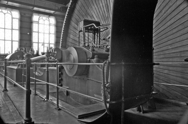
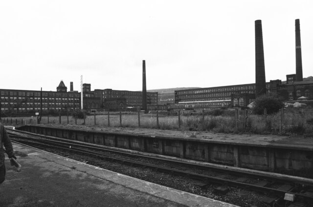
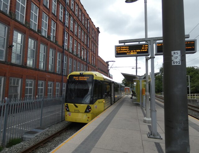
Historically, Shaw and Crompton were predominantly rural communities, with agriculture and textile manufacturing being the main industries. However, with the industrial revolution, the area became more industrialized, and cotton mills sprung up along the River Beal. Today, the mills have been largely converted into residential or commercial properties, and the area is largely residential.
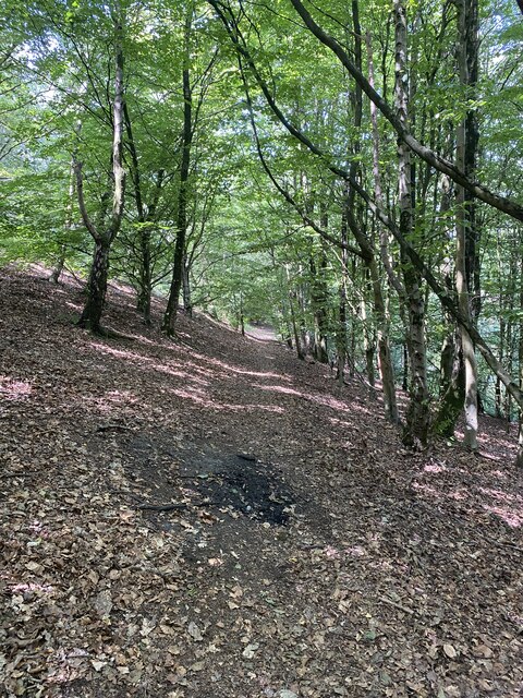
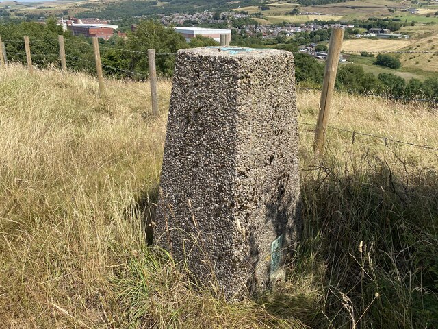
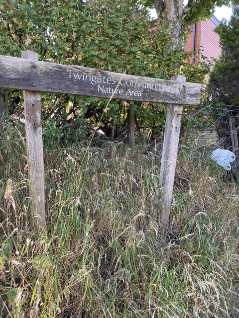
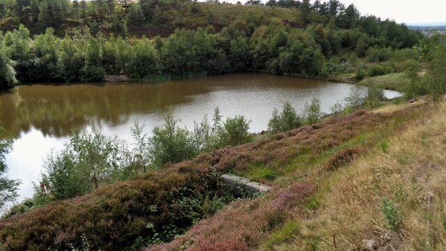
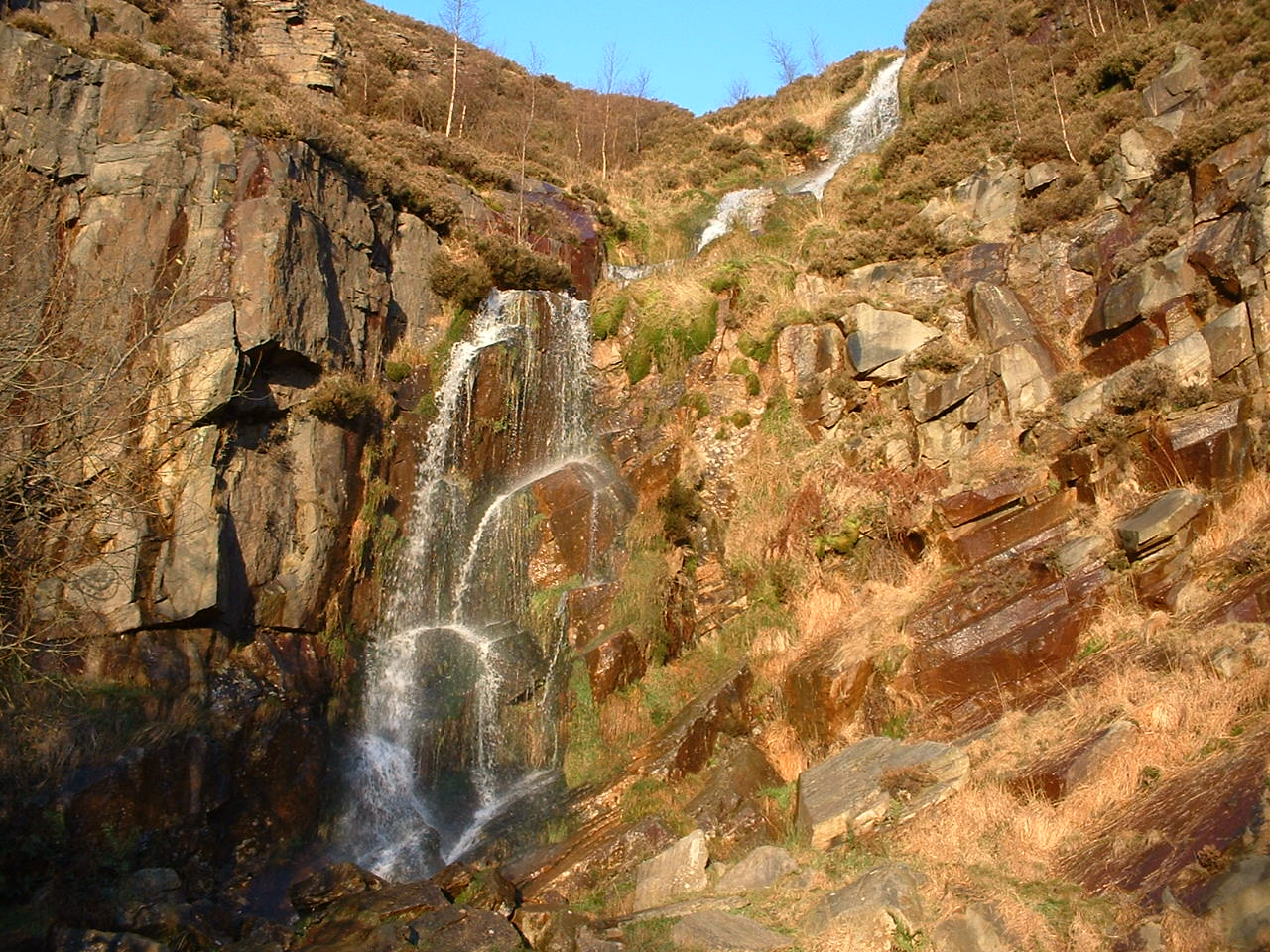
Shaw and Crompton offers a range of amenities and facilities to its residents, including schools, shops, and recreational areas. The local countryside, including Crompton Moor and Saddleworth Moor, provides opportunities for outdoor activities such as hiking and cycling.
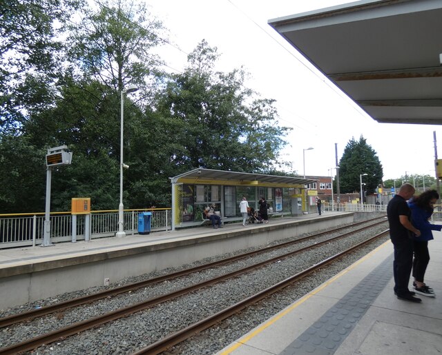
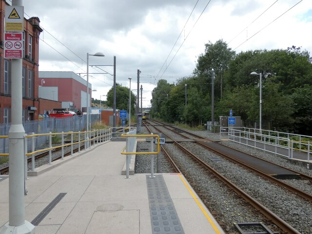
Transport links in the area are well-developed, with several bus routes and a train station in Shaw, providing easy access to surrounding areas and Manchester city center.
Overall, Shaw and Crompton is a pleasant residential area with a rich industrial heritage, offering a mix of rural charm and urban convenience.
If you have any feedback on the listing, please let us know in the comments section below.
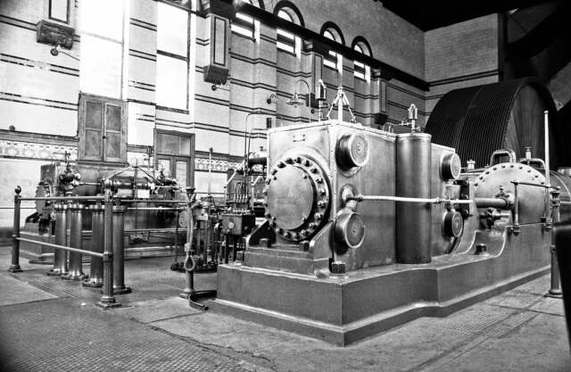
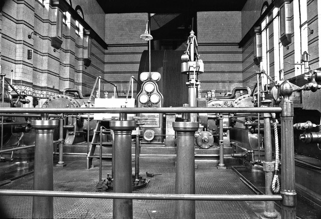
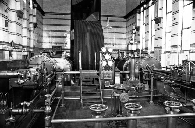
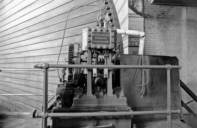
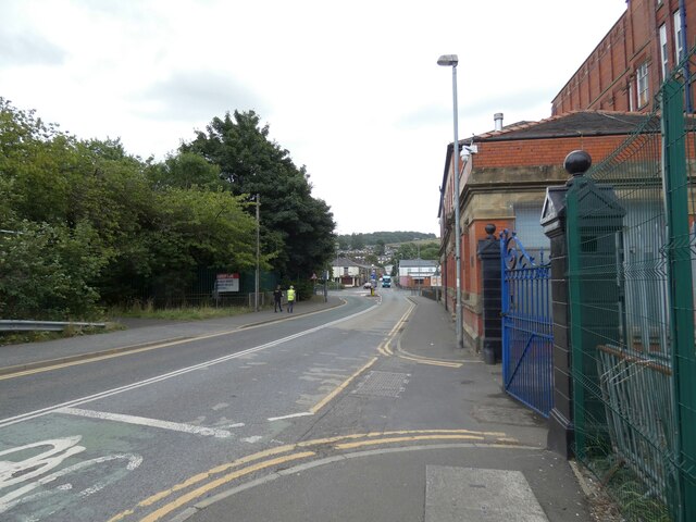
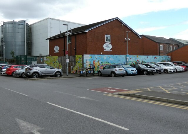
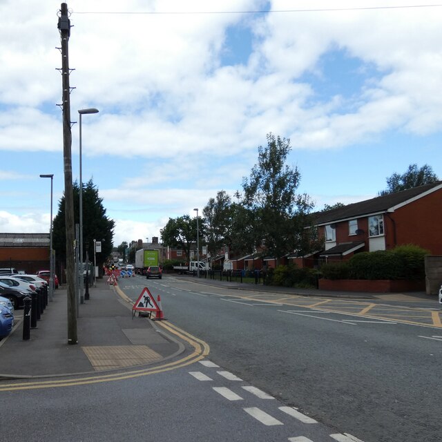
Shaw and Crompton Images
Images are sourced within 2km of 53.583183/-2.090129 or Grid Reference SD9409. Thanks to Geograph Open Source API. All images are credited.

Shaw and Crompton is located at Grid Ref: SD9409 (Lat: 53.583183, Lng: -2.090129)
Administrative County: Greater Manchester
District: Oldham
Police Authority: Greater Manchester
What 3 Words
///vague.pints.arrive. Near Shaw, Manchester
Nearby Locations
Related Wikis

Hawk Mill, Shaw
Hawk Mill, Shaw was a cotton spinning mill in Shaw, Oldham, Greater Manchester. It was built in 1908. It was taken over by the Lancashire Cotton Corporation...
Rutland Mill
Rutland Mill was a cotton spinning mill on Linney Lane, in Shaw and Crompton, Greater Manchester, England. It was built by F. W. Dixon & Son in 1907 for...
Old Brook (England)
Old Brook is a small watercourse in Shaw and Crompton in the Metropolitan Borough of Oldham, Greater Manchester in the northwest of England. It flows from...
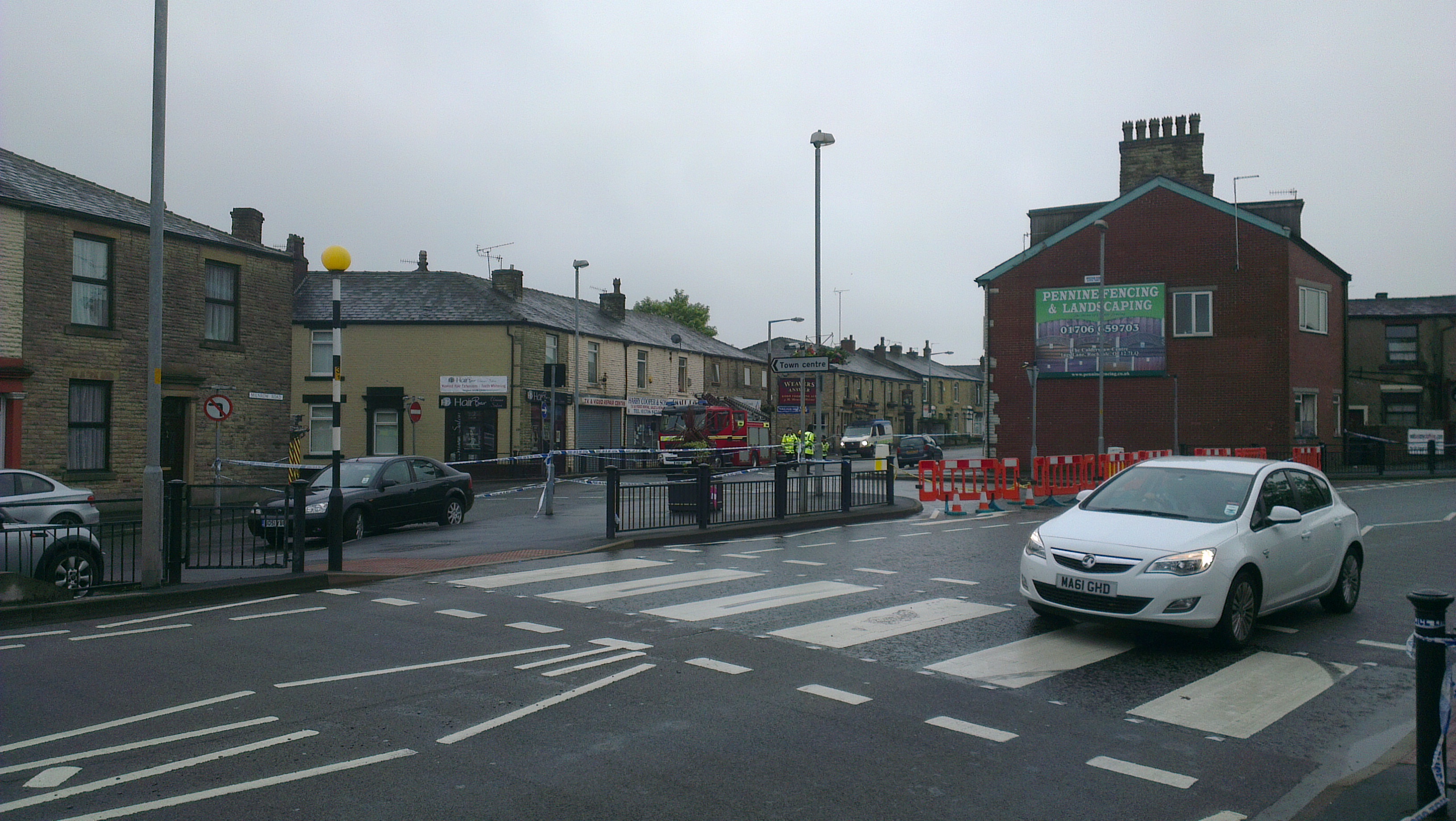
2012 Oldham explosion
The 2012 Oldham explosion occurred on 26 June 2012. A house on Buckley Street in Shaw, a town in the Metropolitan Borough of Oldham, England exploded...
Nearby Amenities
Located within 500m of 53.583183,-2.090129Have you been to Shaw and Crompton?
Leave your review of Shaw and Crompton below (or comments, questions and feedback).