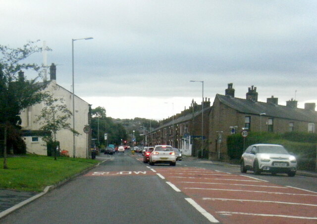
Lane Side
Settlement in Lancashire
England
Lane Side
The requested URL returned error: 429 Too Many Requests
If you have any feedback on the listing, please let us know in the comments section below.
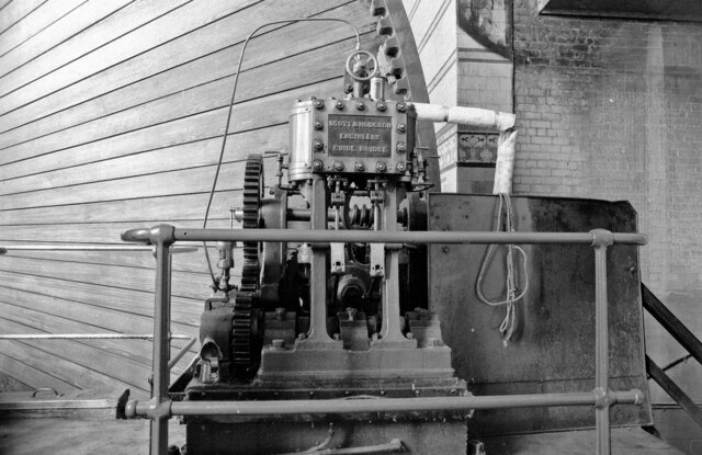
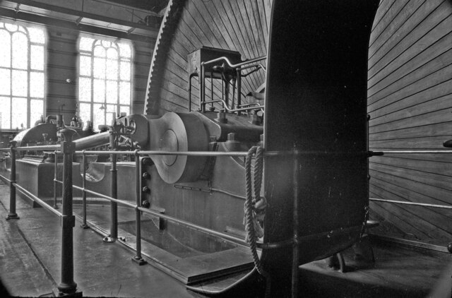
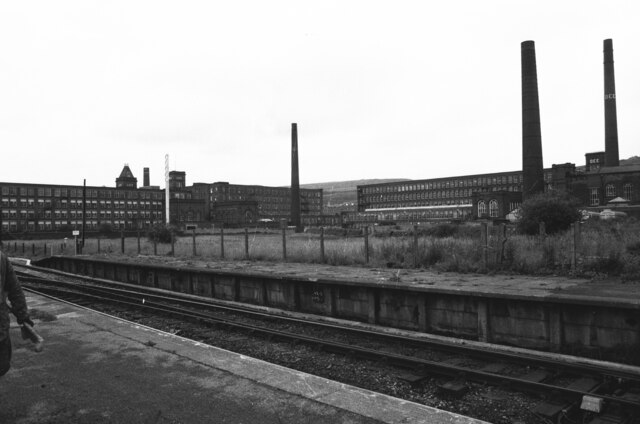
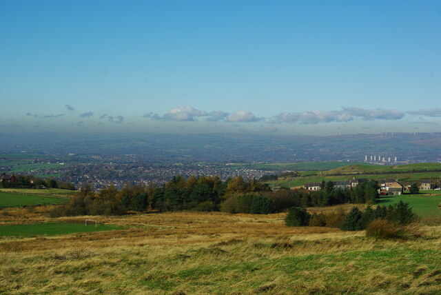
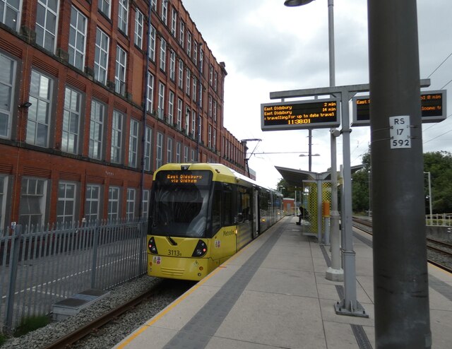
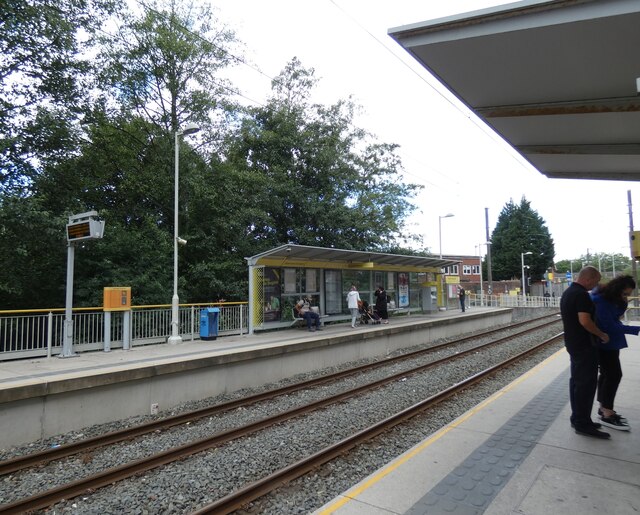
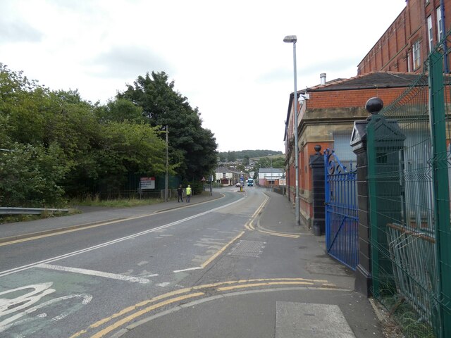
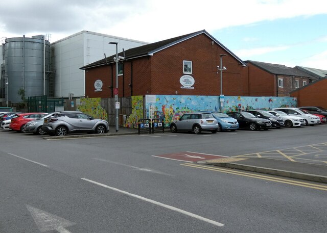
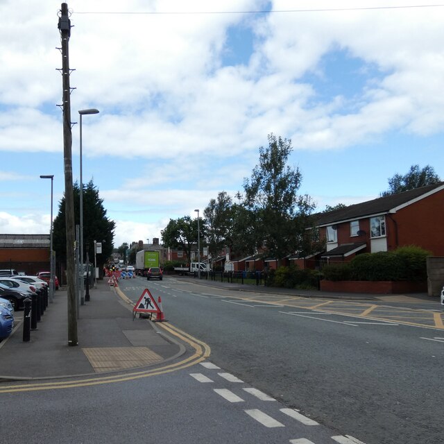
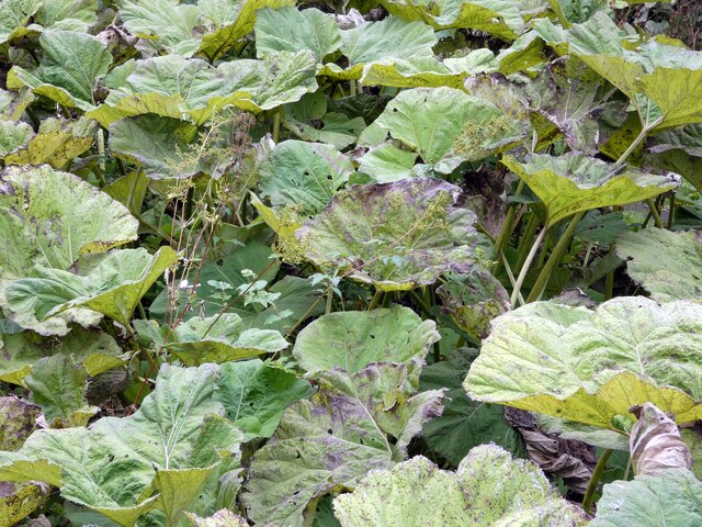
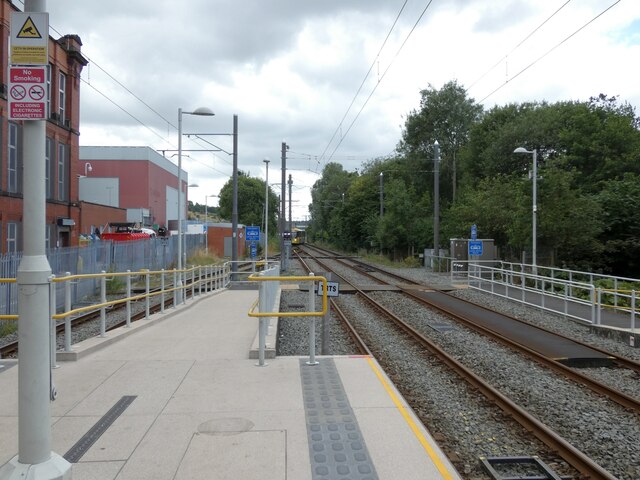
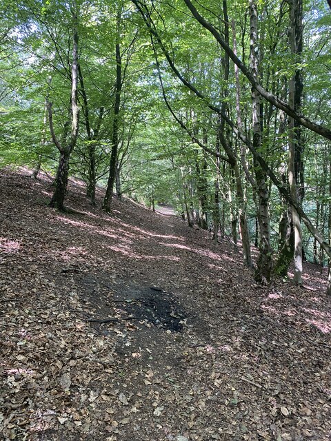
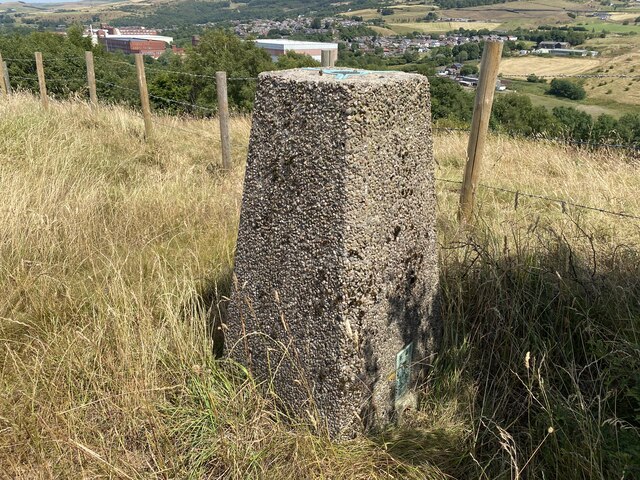
Lane Side Images
Images are sourced within 2km of 53.579989/-2.0788478 or Grid Reference SD9409. Thanks to Geograph Open Source API. All images are credited.

Lane Side is located at Grid Ref: SD9409 (Lat: 53.579989, Lng: -2.0788478)
Unitary Authority: Oldham
Police Authority: Greater Manchester
What 3 Words
///breed.fumes.title. Near Shaw, Manchester
Nearby Locations
Related Wikis

Shaw National Distribution Centre
Shaw National Distribution Centre (also known as Shaw NDC) was a warehouse distribution centre located in Shaw and Crompton, a town in Greater Manchester...

Newby Mill, Shaw
Elm Mill, was a four-storey cotton spinning mill in Shaw and Crompton, Greater Manchester, England. It was built in 1890 for the Elm Spinning Company Ltd...

Rutland Mill
Rutland Mill was a cotton spinning mill on Linney Lane, in Shaw and Crompton, Greater Manchester, England. It was built by F. W. Dixon & Son in 1907 for...

Crompton Hall
Crompton Hall was an historic house situated at Crompton Fold in the township of Crompton, Lancashire, and within the historic parish of Prestwich-cum...
Nearby Amenities
Located within 500m of 53.579989,-2.0788478Have you been to Lane Side?
Leave your review of Lane Side below (or comments, questions and feedback).