Nook
Settlement in Lancashire
England
Nook
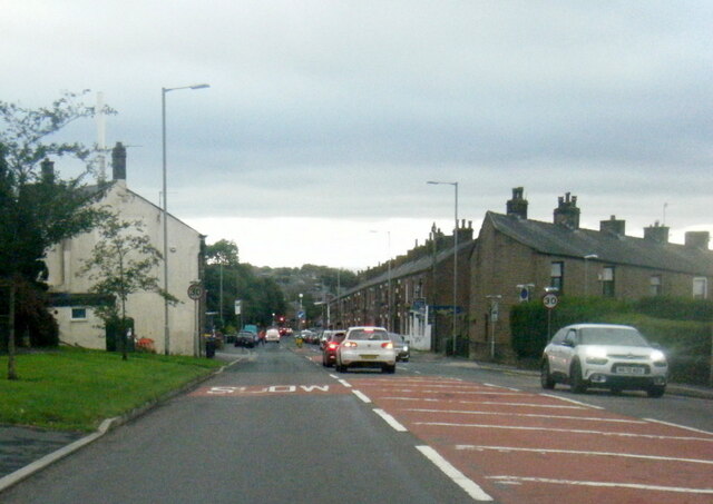
Nook is a small village located in the county of Lancashire, England. Situated approximately 6 miles north of the town of Blackburn, Nook is nestled in the picturesque Ribble Valley, renowned for its stunning landscapes and natural beauty.
The village is characterized by its peaceful and rural setting, surrounded by rolling hills and farmland. It offers a quiet and idyllic escape from the bustling city life, making it a popular destination for those seeking tranquility and a closer connection to nature.
Despite its small size, Nook has a close-knit community and a rich history. The village dates back several centuries and has retained much of its traditional charm. Visitors can still find well-preserved historic buildings and landmarks, such as the St. John the Baptist Church, which dates back to the 17th century.
While primarily residential, Nook is also home to a few local amenities. There is a small village shop that provides essential groceries and daily necessities, ensuring that residents have easy access to basic provisions. Additionally, the village has a community center where various activities and events take place, fostering social interactions and community engagement.
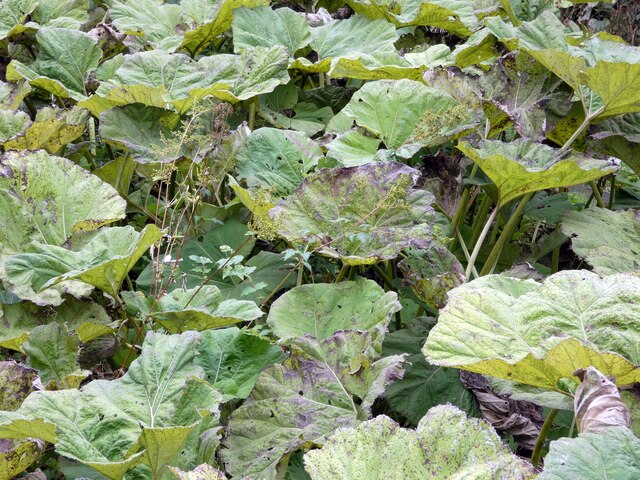
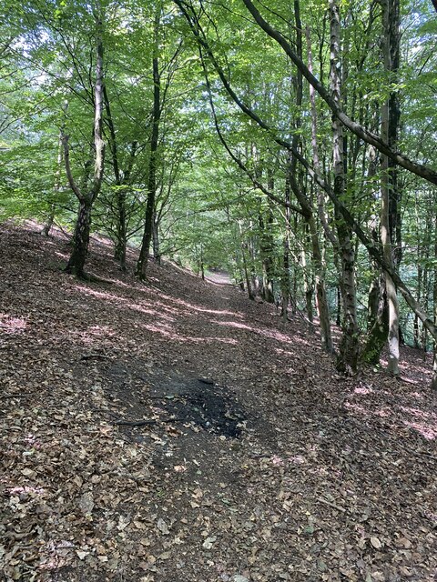
For outdoor enthusiasts, Nook offers an abundance of opportunities to explore the surrounding countryside. The village is surrounded by scenic walking trails, allowing visitors to immerse themselves in the natural beauty of the area. The nearby River Ribble provides opportunities for fishing and boating, while several nearby farms offer the chance to experience rural life firsthand.
Overall, Nook, Lancashire is a charming and peaceful village that offers a retreat from the fast pace of modern life, allowing visitors to enjoy the beauty of the countryside and experience a close-knit community.
If you have any feedback on the listing, please let us know in the comments section below.
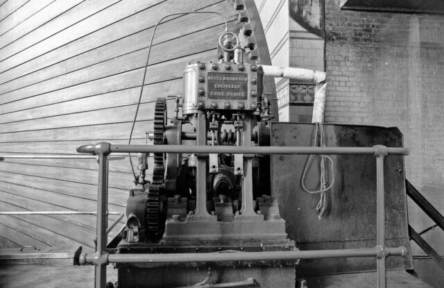
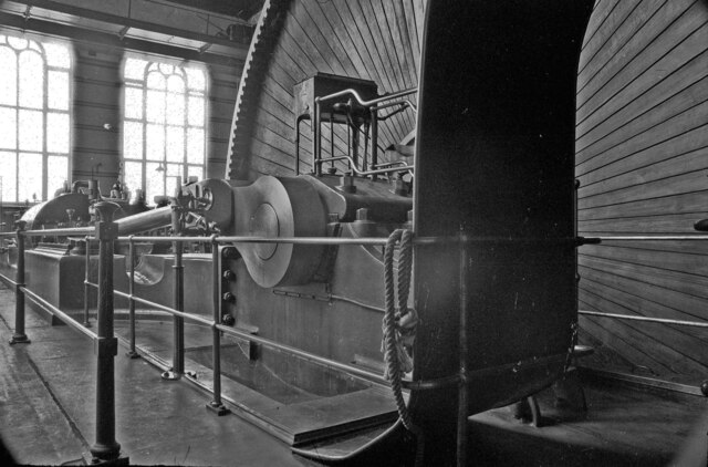
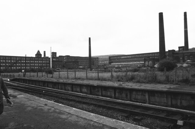
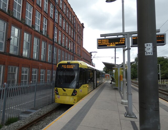
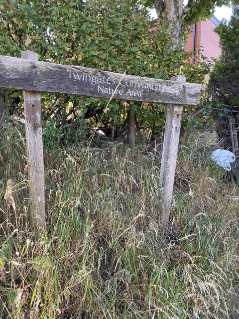
Nook Images
Images are sourced within 2km of 53.580528/-2.083039 or Grid Reference SD9409. Thanks to Geograph Open Source API. All images are credited.

Nook is located at Grid Ref: SD9409 (Lat: 53.580528, Lng: -2.083039)
Unitary Authority: Oldham
Police Authority: Greater Manchester
What 3 Words
///apples.ideas.affair. Near Shaw, Manchester
Nearby Locations
Related Wikis

Shaw National Distribution Centre
Shaw National Distribution Centre (also known as Shaw NDC) was a warehouse distribution centre located in Shaw and Crompton, a town in Greater Manchester...

Newby Mill, Shaw
Elm Mill, was a four-storey cotton spinning mill in Shaw and Crompton, Greater Manchester, England. It was built in 1890 for the Elm Spinning Company Ltd...

Rutland Mill
Rutland Mill was a cotton spinning mill on Linney Lane, in Shaw and Crompton, Greater Manchester, England. It was built by F. W. Dixon & Son in 1907 for...
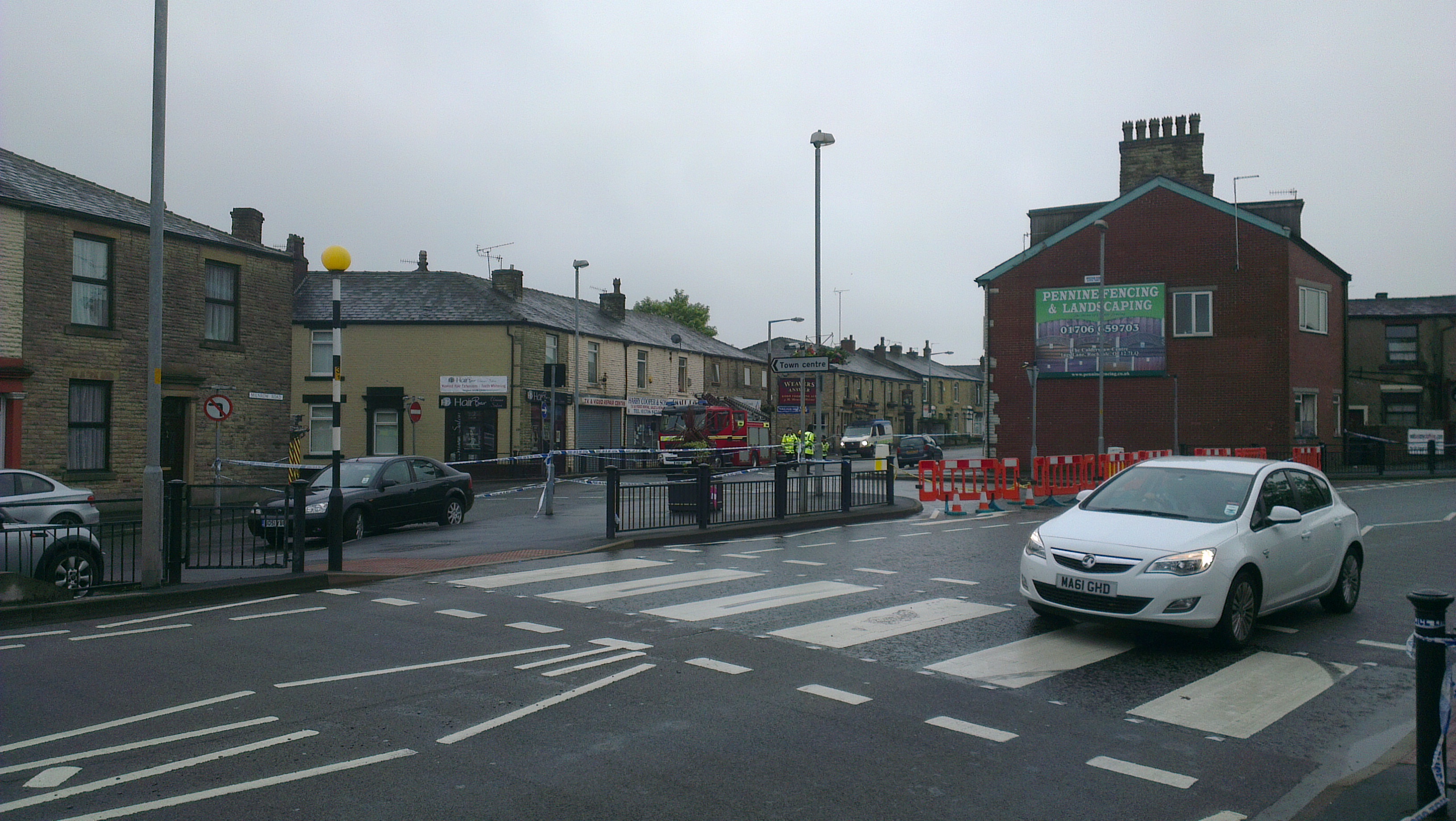
2012 Oldham explosion
The 2012 Oldham explosion occurred on 26 June 2012. A house on Buckley Street in Shaw, a town in the Metropolitan Borough of Oldham, England exploded...
Nearby Amenities
Located within 500m of 53.580528,-2.083039Have you been to Nook?
Leave your review of Nook below (or comments, questions and feedback).