Nook
Settlement in Yorkshire
England
Nook
Nook is a charming village located in the picturesque county of Yorkshire, England. Situated in the southern part of the county, Nook is nestled amidst rolling green hills and surrounded by breathtaking natural beauty. The village offers a tranquil and idyllic escape from the bustling city life, making it a popular destination for nature lovers and those seeking a peaceful retreat.
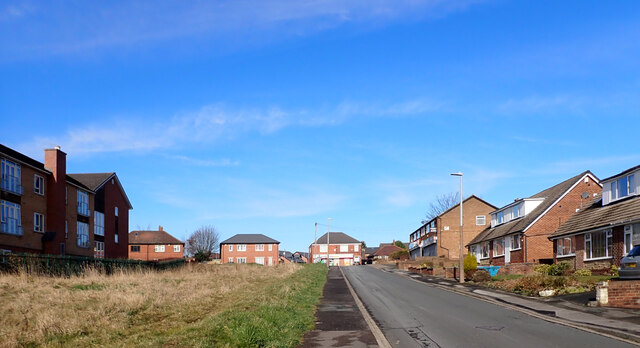
With a population of approximately 500 residents, Nook maintains a close-knit community feel. The village is characterized by a collection of quaint stone cottages and traditional architecture, giving it a timeless and charming ambiance.
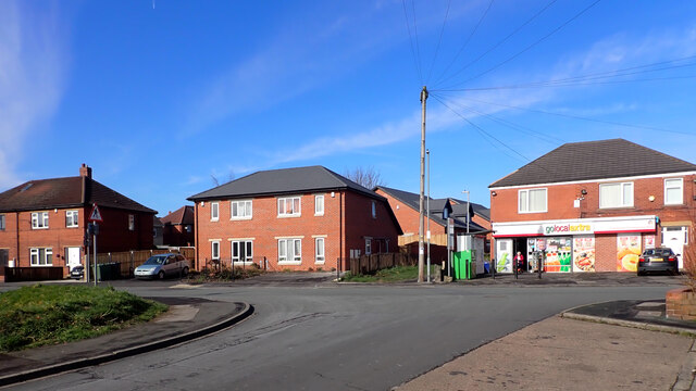
Despite its small size, Nook boasts a range of amenities for its residents and visitors. There is a local pub, The Nook Inn, which serves traditional Yorkshire fare and offers a cozy atmosphere for socializing. The village also has a small convenience store providing everyday essentials.
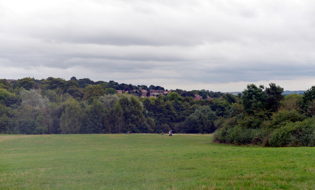
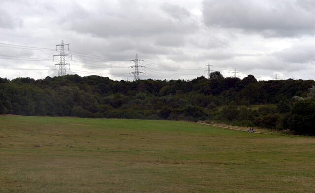
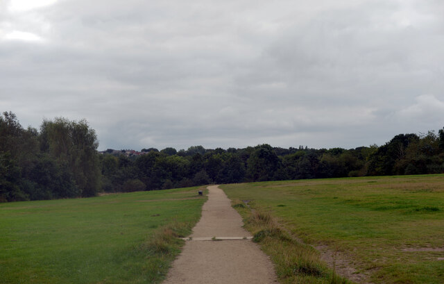
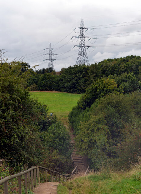
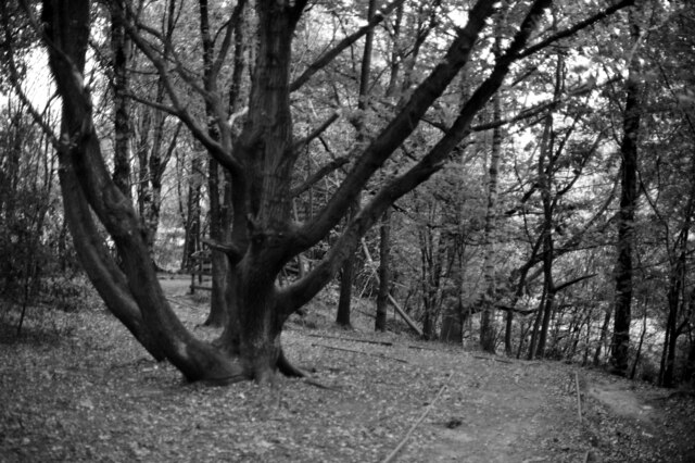
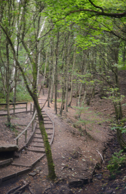
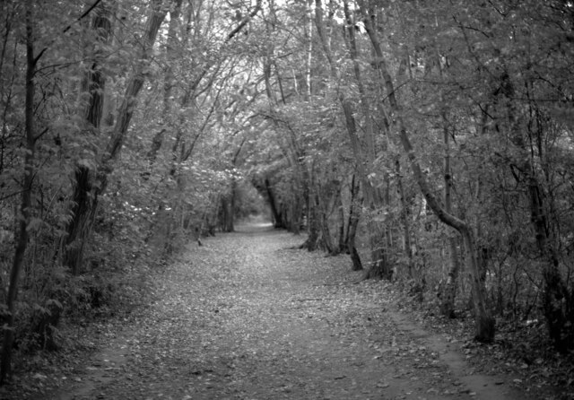
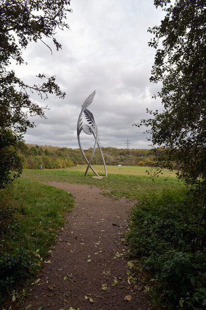
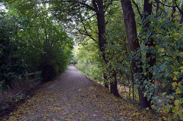
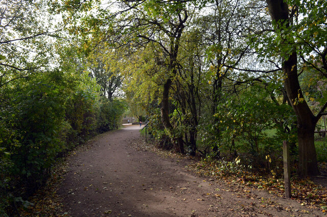
One of the highlights of Nook is its stunning countryside, which offers a plethora of outdoor activities. The surrounding area is perfect for hiking, cycling, and exploring the numerous scenic trails. Additionally, Nook is in close proximity to the Yorkshire Dales National Park, renowned for its breathtaking landscapes and opportunities for outdoor adventures.
Overall, Nook, Yorkshire, is a charming village that provides a peaceful and scenic escape for both residents and visitors alike. Its natural beauty, close-knit community, and access to outdoor activities make it a delightful destination to experience the charm of rural Yorkshire.
If you have any feedback on the listing, please let us know in the comments section below.
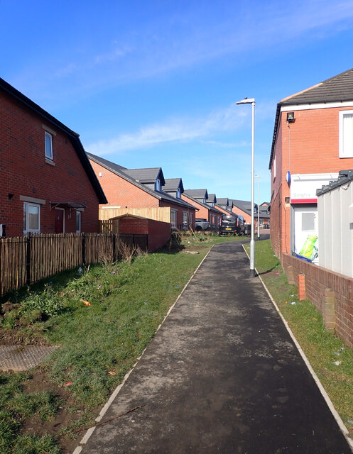
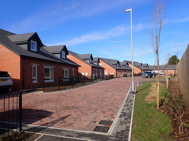
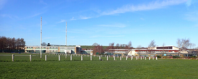
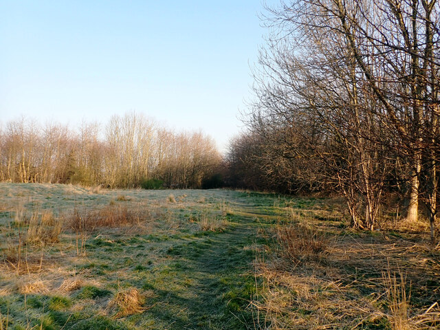
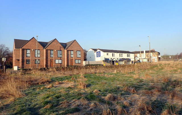
Nook Images
Images are sourced within 2km of 53.729669/-1.652651 or Grid Reference SE2325. Thanks to Geograph Open Source API. All images are credited.
Nook is located at Grid Ref: SE2325 (Lat: 53.729669, Lng: -1.652651)
Division: West Riding
Unitary Authority: Kirklees
Police Authority: West Yorkshire
What 3 Words
///strike.blitz.admit. Near Drighlington, West Yorkshire
Nearby Locations
Related Wikis
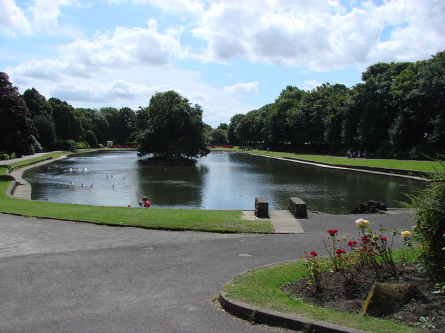
Wilton Park, Batley
Wilton Park is a public park located in Batley, West Yorkshire, England. Opened to the public in 1909 in the grounds of an old mansion (which now serves...

Birstall railway station (West Yorkshire)
Birstall railway station served the town of Birstall, in the historic county of West Riding of Yorkshire, England, from 1852 to 1962 on the Birstall Branch...

Birstall, West Yorkshire
Birstall is a market and mill town in the metropolitan borough of Kirklees, West Yorkshire, England. It is part of the Birstall and Birkenshaw ward, which...

Batley Girls' High School
Batley Girls' High School is a secondary school and sixth form in Batley, West Yorkshire, England.It was previously a community school administered by...
Nearby Amenities
Located within 500m of 53.729669,-1.652651Have you been to Nook?
Leave your review of Nook below (or comments, questions and feedback).