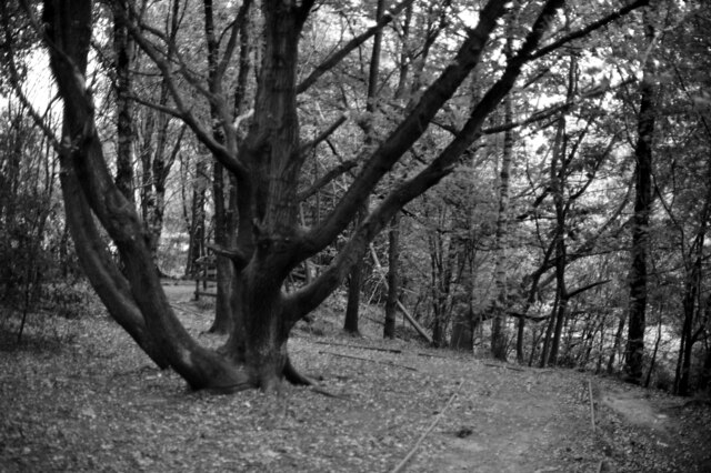
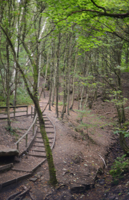
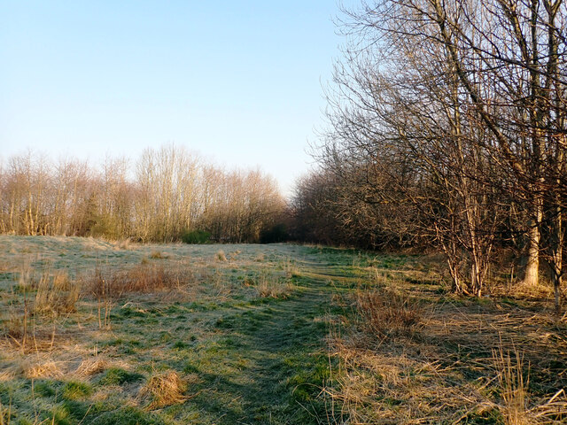
Little Wood
Wood, Forest in Yorkshire
England
Little Wood
The requested URL returned error: 429 Too Many Requests
If you have any feedback on the listing, please let us know in the comments section below.
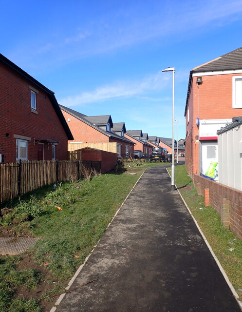
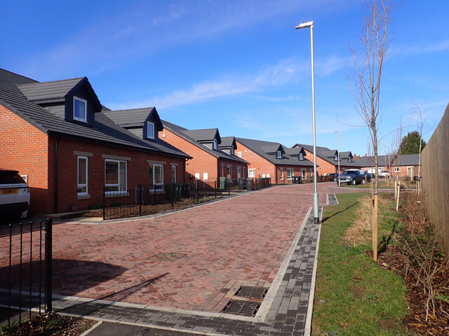
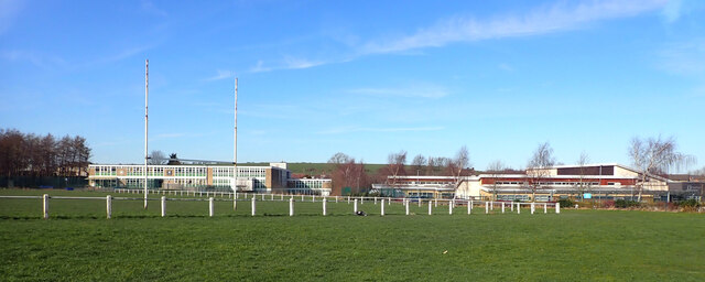
Little Wood Images
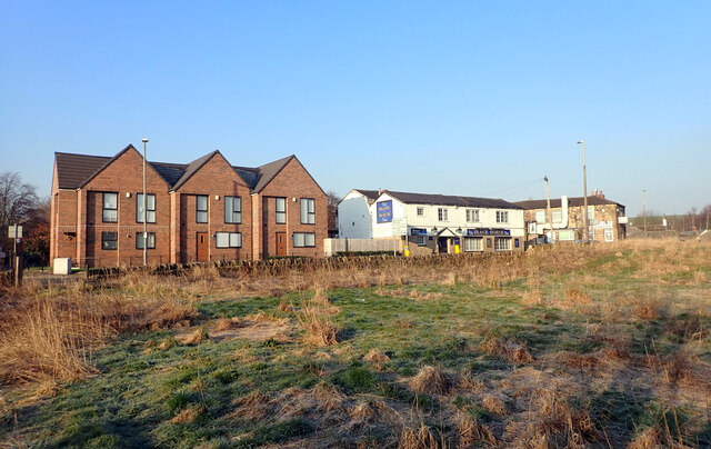
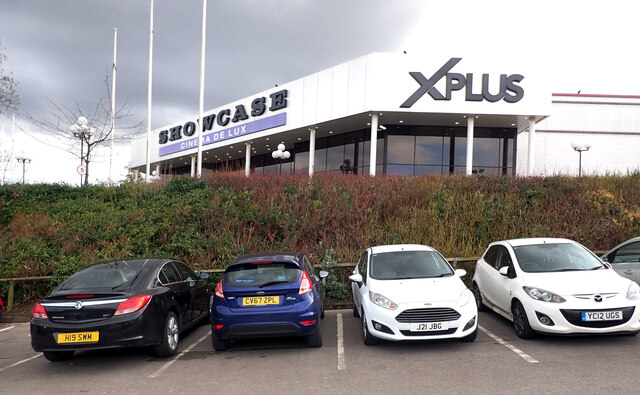
Images are sourced within 2km of 53.728546/-1.6468855 or Grid Reference SE2325. Thanks to Geograph Open Source API. All images are credited.


Little Wood is located at Grid Ref: SE2325 (Lat: 53.728546, Lng: -1.6468855)
Division: West Riding
Unitary Authority: Kirklees
Police Authority: West Yorkshire
What 3 Words
///again.future.swan. Near Batley, West Yorkshire
Nearby Locations
Related Wikis
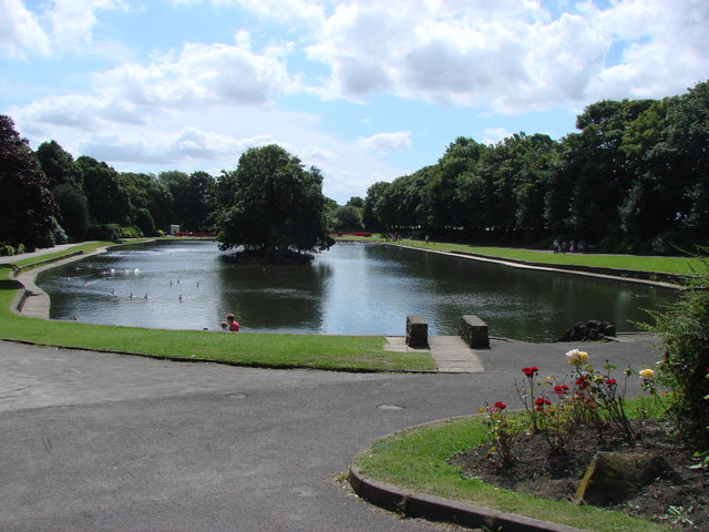
Wilton Park, Batley
Wilton Park is a public park located in Batley, West Yorkshire, England. Opened to the public in 1909 in the grounds of an old mansion (which now serves...

Batley Girls' High School
Batley Girls' High School is a secondary school and sixth form in Batley, West Yorkshire, England.It was previously a community school administered by...

Carlinghow
Carlinghow is a district of Batley, West Yorkshire, England. It is west of Batley town centre, and stretches up towards White Lee and Birstall, along Carlinghow...

Batley Grammar School
Batley Grammar School is a state-funded co-educational free school in Batley, West Yorkshire, England, for pupils aged 4 to 16. == History == The school...
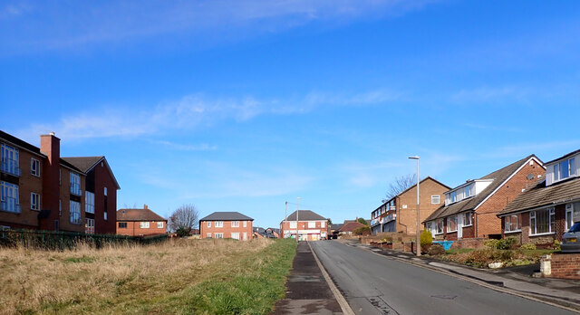
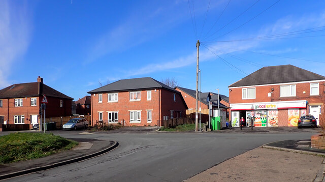
Nearby Amenities
Located within 500m of 53.728546,-1.6468855Have you been to Little Wood?
Leave your review of Little Wood below (or comments, questions and feedback).