Sun Wood
Wood, Forest in Yorkshire
England
Sun Wood
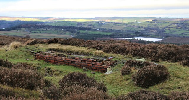
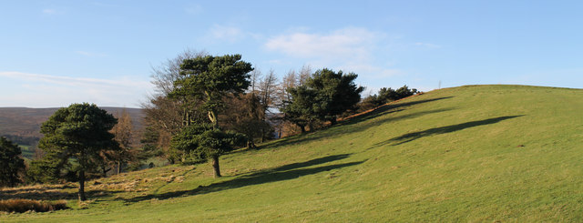
Sun Wood is a picturesque forest located in the county of Yorkshire, England. Situated amidst the rolling hills and lush green countryside, this woodland is a haven of natural beauty and tranquility. Covering an area of approximately 300 acres, Sun Wood is known for its dense and diverse vegetation, making it a popular destination for nature enthusiasts and hikers alike.
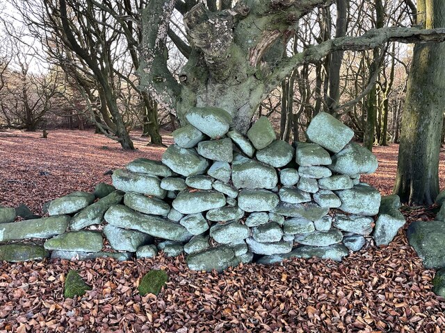
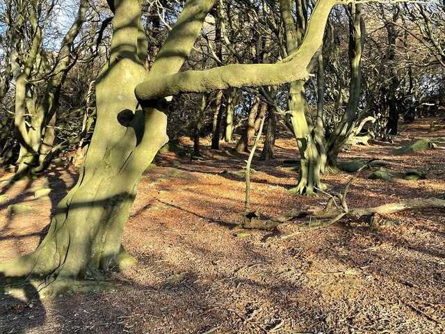
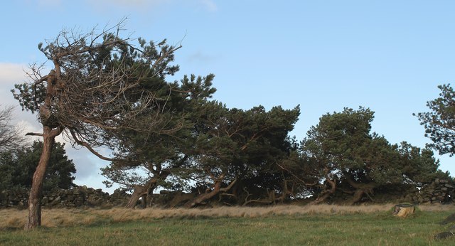
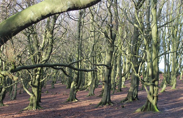
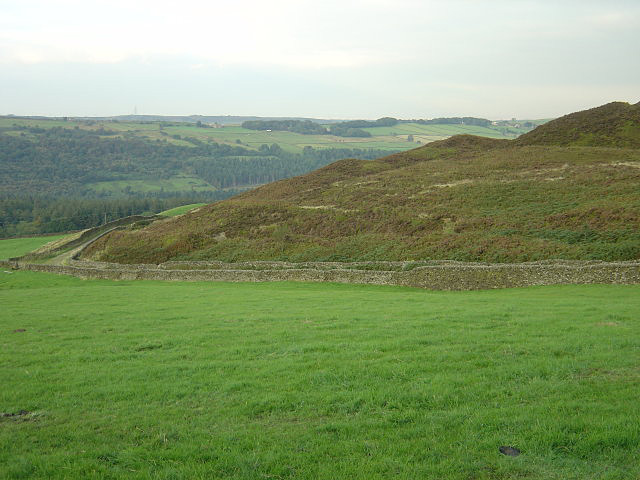
The forest is characterized by its towering oak, beech, and birch trees, which provide a majestic canopy over the woodland floor. The ground is covered with a vibrant carpet of bluebells, ferns, and moss, creating a magical and ethereal atmosphere. The varied terrain of Sun Wood offers a range of walking trails, from gentle strolls to more challenging hikes, allowing visitors to explore the forest and discover its hidden gems.
Sun Wood is also home to a rich and diverse wildlife population. Deer, foxes, rabbits, and a multitude of bird species can be spotted amongst the trees, making it a paradise for wildlife enthusiasts and photographers. The forest is a designated nature reserve, ensuring the protection of its natural habitats and species.
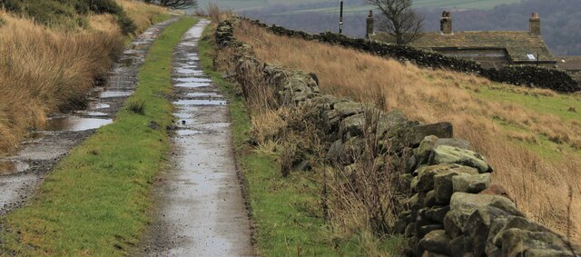
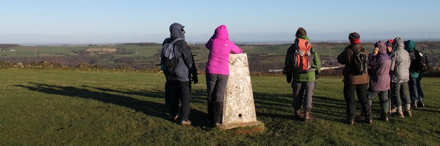
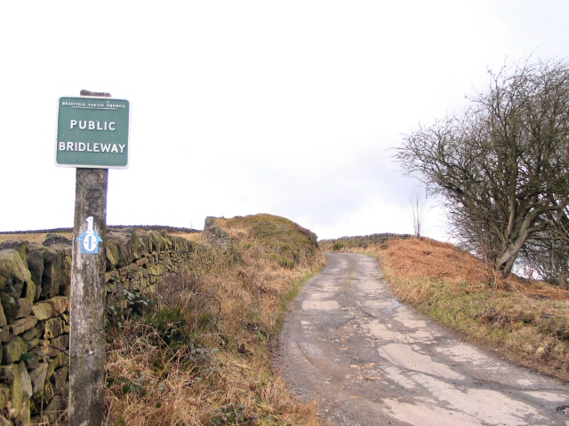
In addition to its natural beauty, Sun Wood offers a range of amenities for visitors to enjoy. There are picnic areas and benches scattered throughout the forest, providing the perfect spot to relax and take in the surroundings. The forest is also equipped with well-maintained footpaths and signage, ensuring easy navigation and accessibility for all.
Overall, Sun Wood is a true gem of Yorkshire, offering a serene and idyllic escape into nature. Its breathtaking beauty, diverse flora and fauna, and peaceful ambiance make it a must-visit destination for those seeking a respite from the hustle and bustle of everyday life.
If you have any feedback on the listing, please let us know in the comments section below.
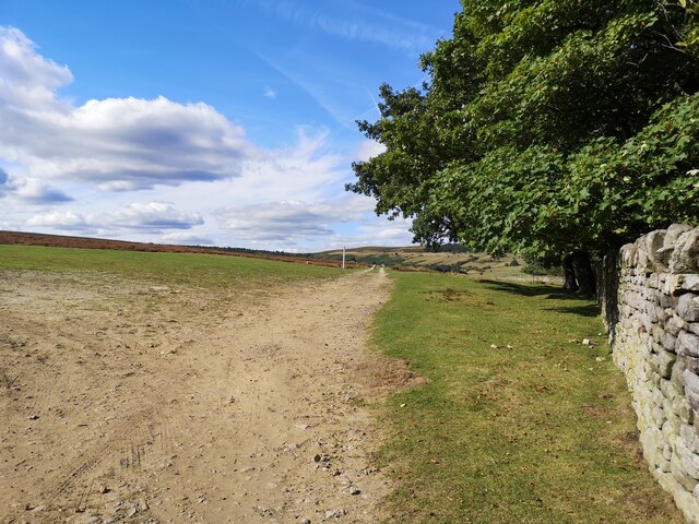
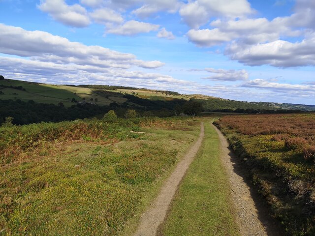
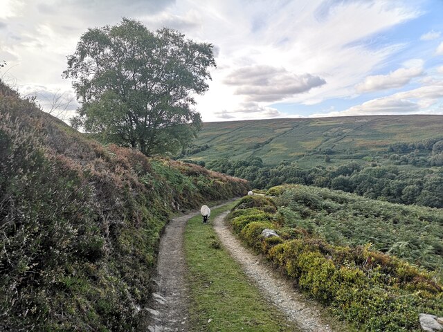
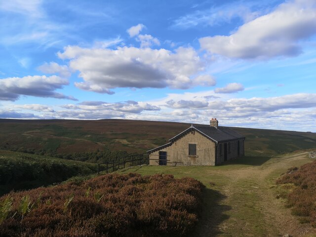
Sun Wood Images
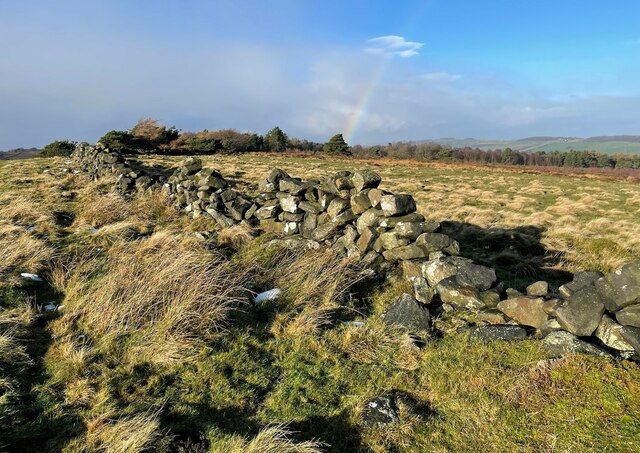
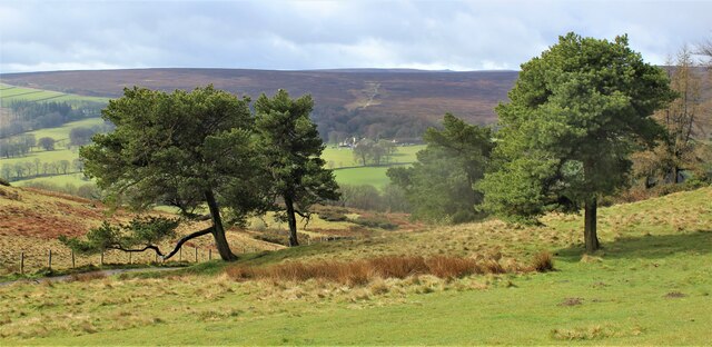
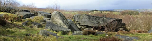
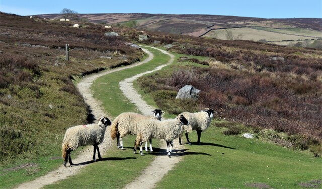
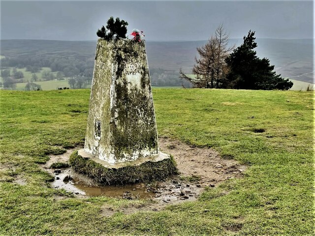
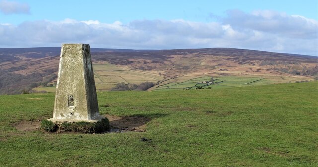
Images are sourced within 2km of 53.466354/-1.6489882 or Grid Reference SK2396. Thanks to Geograph Open Source API. All images are credited.
Sun Wood is located at Grid Ref: SK2396 (Lat: 53.466354, Lng: -1.6489882)
Division: West Riding
Unitary Authority: Sheffield
Police Authority: South Yorkshire
What 3 Words
///instilled.teamed.pictured. Near Stocksbridge, South Yorkshire
Nearby Locations
Related Wikis
Wigtwizzle
Wigtwizzle is a hamlet in the civil parish of Bradfield, in South Yorkshire, England. The hamlet is 6 miles (9.7 km) south of Penistone, and 12 miles...

Broomhead Hall
Broomhead Hall was a large English country house that stood in the Ewden valley, to the west of Sheffield, England. The hall stood near the hamlet of Wigtwizzle...
Canyards Hills
Canyards Hills (grid reference SK250950) is a 64.1 hectare (158.4 acre) biological and geological site of Special Scientific Interest in South Yorkshire...

Midhopestones
Midhopestones (archaic Nether Midhope, also Middup, or Middop) is a village in the civil parish of Bradfield within the Stocksbridge and Upper Don electoral...
Nearby Amenities
Located within 500m of 53.466354,-1.6489882Have you been to Sun Wood?
Leave your review of Sun Wood below (or comments, questions and feedback).