Cat Clough
Valley in Yorkshire
England
Cat Clough
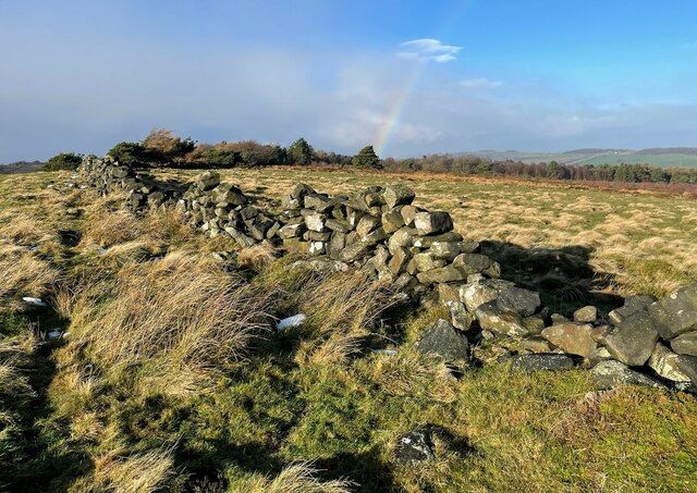
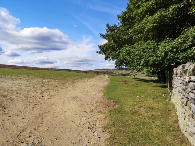
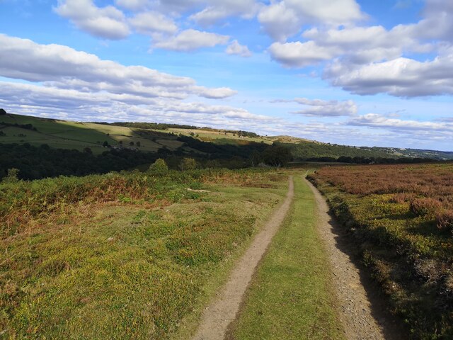
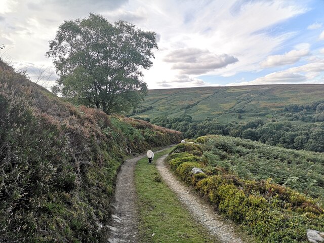
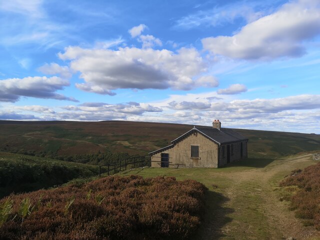
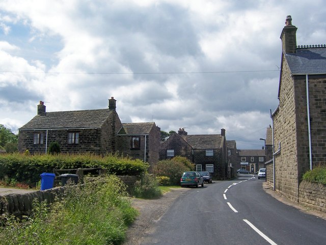
Cat Clough is a picturesque valley located in the West Yorkshire region of England, nestled within the stunning Pennine Hills. This small but charming rural settlement is part of the larger village of Hebden Bridge. The valley is known for its tranquil and idyllic setting, making it a popular destination for nature lovers and outdoor enthusiasts.
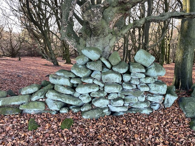
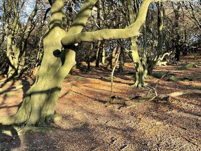
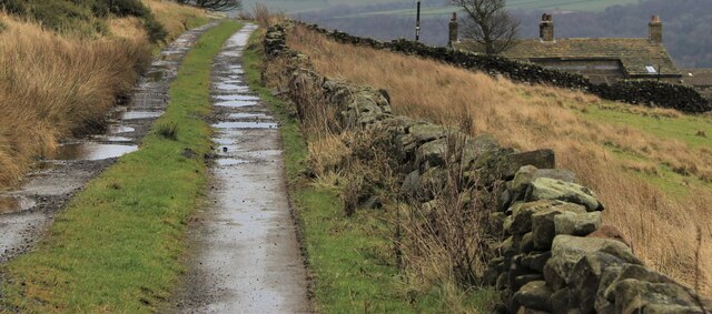
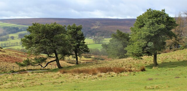
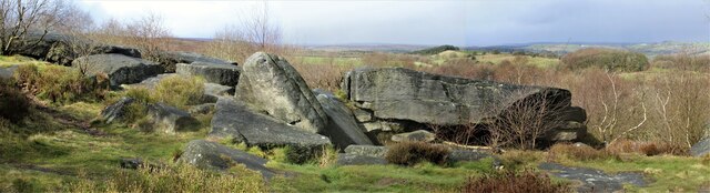
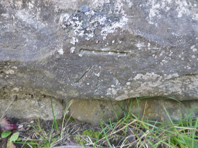
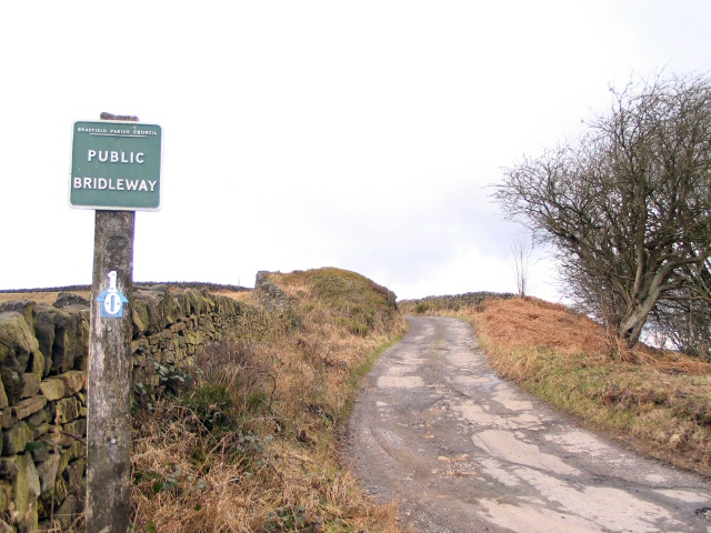
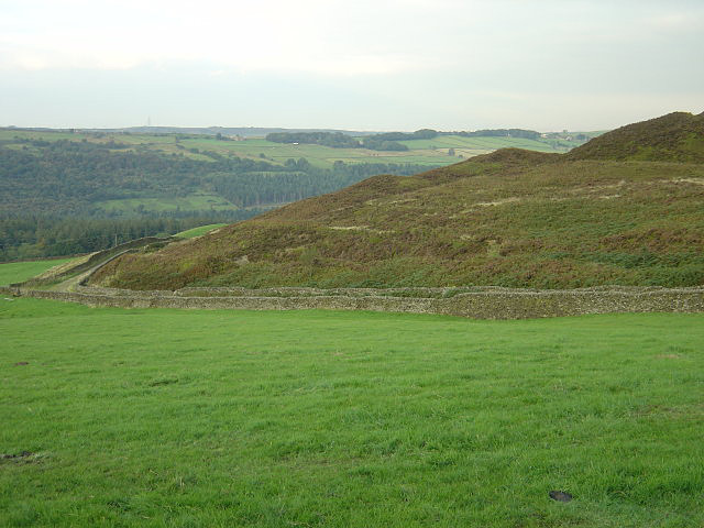
Surrounded by rolling hills and lush greenery, Cat Clough offers breathtaking views of the surrounding countryside. The area is characterized by its traditional stone-built cottages and farms, adding to its rustic charm. The valley is crisscrossed by a network of footpaths and trails, perfect for hikers and walkers who wish to explore the stunning landscapes.
The River Calder meanders through Cat Clough, providing a serene backdrop for visitors and locals alike. The river is home to a variety of wildlife, including otters and kingfishers, making it a haven for nature enthusiasts. Fishing is also a popular activity in the area, with anglers often trying their luck in the river's clear waters.
Despite its peaceful atmosphere, Cat Clough is not far from the bustling town of Hebden Bridge. This vibrant market town offers a range of amenities, including shops, cafes, and restaurants, providing visitors with plenty of options for shopping and dining.
In conclusion, Cat Clough in Yorkshire is a picturesque valley that offers visitors a peaceful escape into nature. With its stunning landscapes, charming cottages, and proximity to Hebden Bridge, it is a delightful destination for those seeking tranquility and natural beauty.
If you have any feedback on the listing, please let us know in the comments section below.
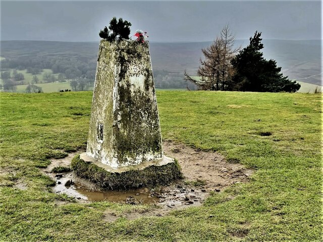
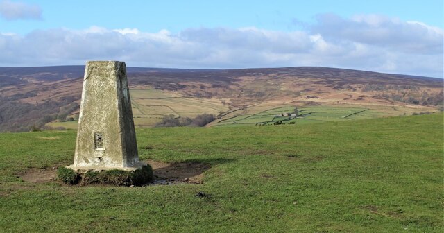
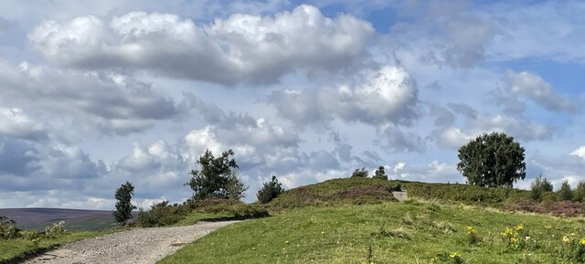
Cat Clough Images
Images are sourced within 2km of 53.464951/-1.6424173 or Grid Reference SK2396. Thanks to Geograph Open Source API. All images are credited.

Cat Clough is located at Grid Ref: SK2396 (Lat: 53.464951, Lng: -1.6424173)
Division: West Riding
Unitary Authority: Sheffield
Police Authority: South Yorkshire
What 3 Words
///shirtless.gulped.shampoo. Near Stocksbridge, South Yorkshire
Nearby Locations
Related Wikis
Wigtwizzle
Wigtwizzle is a hamlet in the civil parish of Bradfield, in South Yorkshire, England. The hamlet is 6 miles (9.7 km) south of Penistone, and 12 miles...

Broomhead Hall
Broomhead Hall was a large English country house that stood in the Ewden valley, to the west of Sheffield, England. The hall stood near the hamlet of Wigtwizzle...
Canyards Hills
Canyards Hills (grid reference SK250950) is a 64.1 hectare (158.4 acre) biological and geological site of Special Scientific Interest in South Yorkshire...

Midhopestones
Midhopestones (archaic Nether Midhope, also Middup, or Middop) is a village in the civil parish of Bradfield within the Stocksbridge and Upper Don electoral...

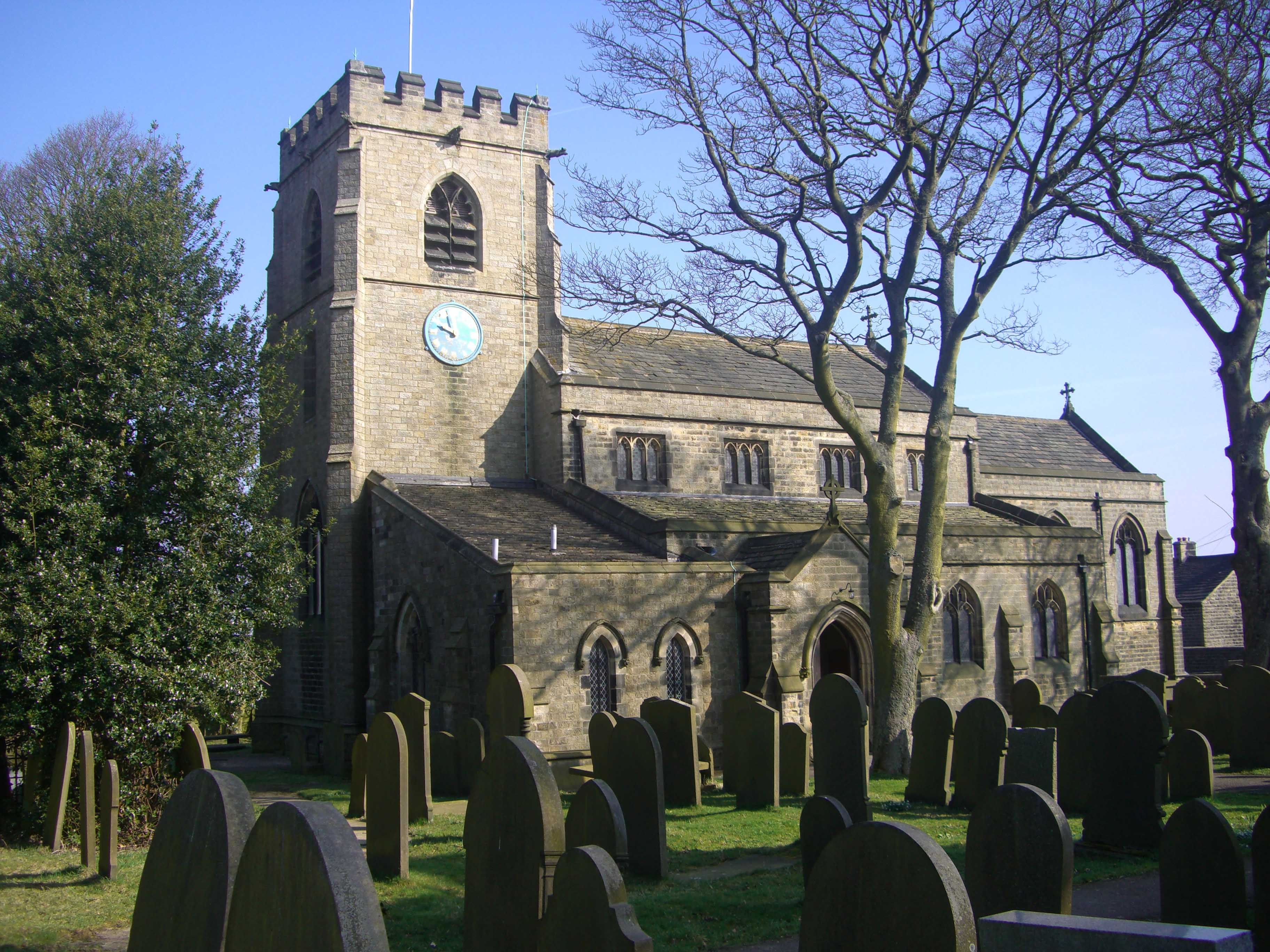
St James' Church, Midhopestones
St James’ Church, Midhopestones is situated in the small rural hamlet of Midhopestones, just within the northern boundary of the City of Sheffield in South...

Broomhead Reservoir
Broomhead Reservoir is a reservoir located in the Ewden Valley, near Sheffield in South Yorkshire, England. The reservoir is located to the south of Bolsterstone...
Bolsterstone
Bolsterstone is a village in South Yorkshire, England, south of Stocksbridge, and 8.5 miles to the northwest of the City of Sheffield and within the city...
St Mary's Church, Bolsterstone
St Mary's Church, Bolsterstone is situated in the village of Bolsterstone, within the boundary of the City of Sheffield in South Yorkshire, England. The...
Nearby Amenities
Located within 500m of 53.464951,-1.6424173Have you been to Cat Clough?
Leave your review of Cat Clough below (or comments, questions and feedback).