Pinfold Clough

Valley in Yorkshire

England

Pinfold Clough

Trig Point at Emlin near Low Bradfield The easiest way to reach this summit is from the south via the Grouse Butts and Emlin Ridge. A good grassy track runs almost the whole way.
Trig Point at Emlin near Low Bradfield Credit: Colin Park

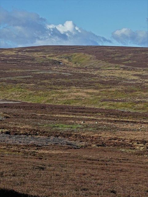
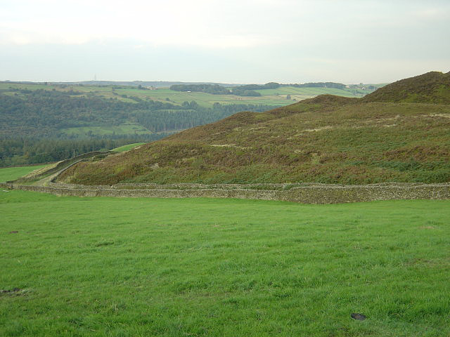
Pinfold Clough is a picturesque valley located in the region of Yorkshire, England. Nestled amidst the rolling hills and lush greenery, this idyllic landscape is a true gem for nature enthusiasts and those seeking tranquility. The valley is situated in the upper reaches of the River Nidd, near the village of Pateley Bridge.

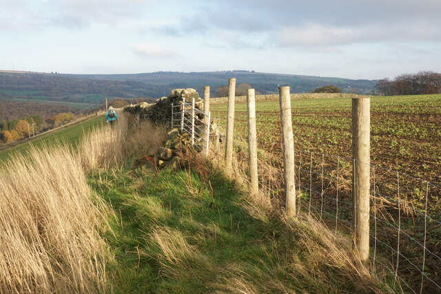
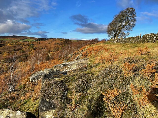
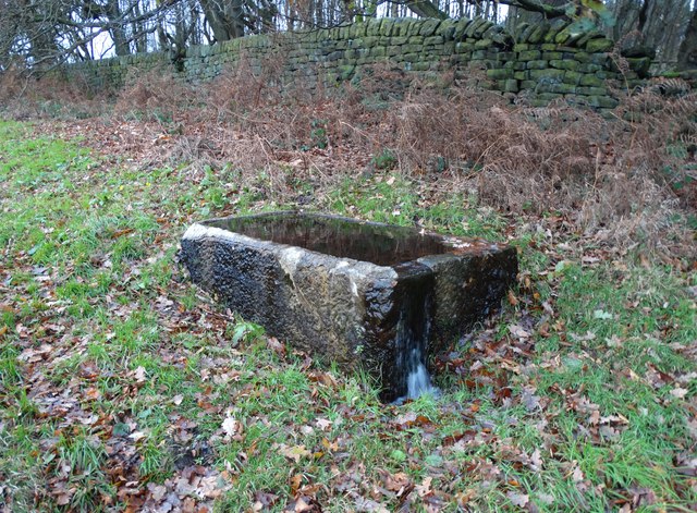
Pinfold Clough is characterized by its charming and meandering stream, which flows through the valley, adding to its scenic beauty. The stream is lined with a variety of flora and fauna, creating a lively and vibrant ecosystem. The valley is home to a diverse range of plant species, including wildflowers, ferns, and mosses, which blanket the valley floor and surrounding slopes.

The valley also boasts an array of wildlife, making it a haven for nature lovers. Visitors may catch glimpses of birds such as kingfishers, herons, and various species of ducks, as they make their way along the stream. There have also been sightings of otters, which have made a comeback in recent years, adding to the biodiversity of the area.

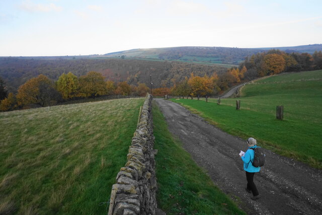
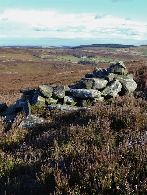
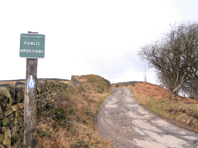
Pinfold Clough offers an ideal setting for leisurely walks and hikes, with numerous footpaths crisscrossing the valley. These paths lead visitors through enchanting woodlands, across charming bridges, and up gentle slopes, providing stunning panoramic views of the surrounding countryside. The valley is particularly breathtaking during the spring and summer months when the wildflowers are in full bloom, painting the landscape in vibrant hues.

In conclusion, Pinfold Clough is a captivating and tranquil valley in Yorkshire, offering a delightful escape into nature. Whether it is exploring the diverse flora and fauna, enjoying the soothing sounds of the stream, or simply immersing oneself in the serenity of the surroundings, this hidden gem promises a truly rejuvenating experience.

If you have any feedback on the listing, please let us know in the comments section below.

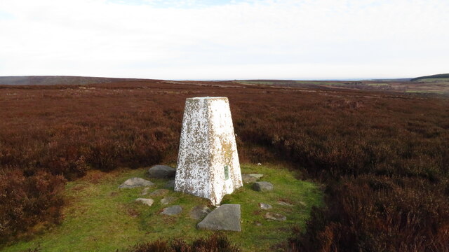
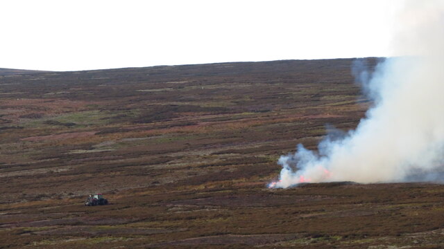
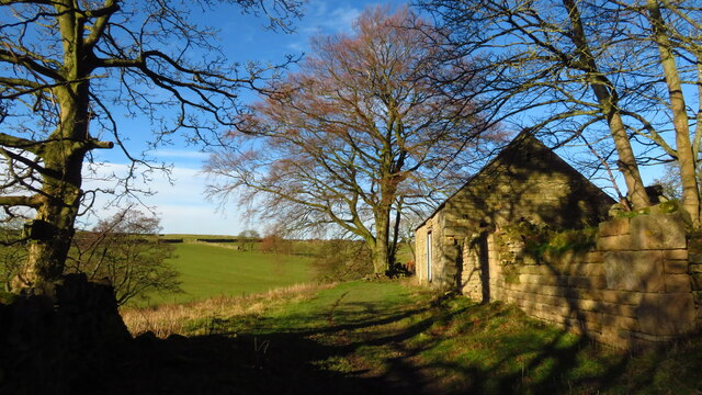
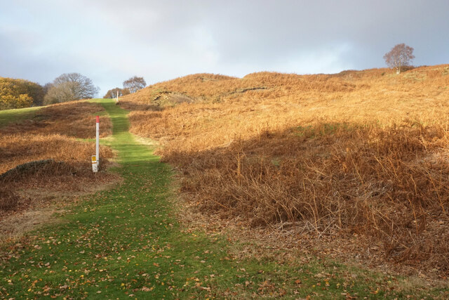
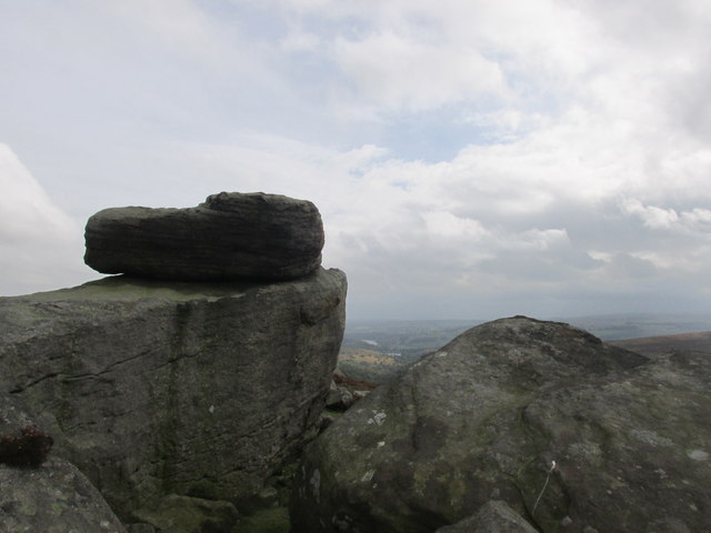
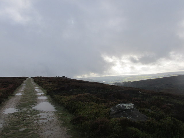
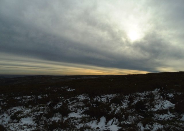
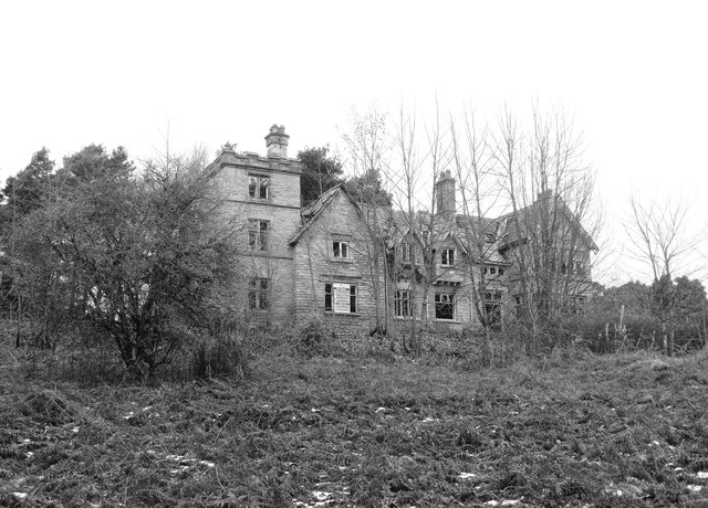
Pinfold Clough Images

Images are sourced within 2km of 53.441608/-1.6427336 or Grid Reference SK2393. Thanks to Geograph Open Source API. All images are credited.

Trig Point at Emlin near Low Bradfield The easiest way to reach this summit is from the south via the Grouse Butts and Emlin Ridge. A good grassy track runs almost the whole way.
Trig Point at Emlin near Low Bradfield
The easiest way to reach this summit is from the south via the Grouse Butts and Emlin Ridge. A good grassy track runs almost the whole way.
Heather burning on moors W of Emlin near Low Bradfield
Ruinous farm at Rocher Head near High Bradfield
Lonely Scot's Pine on Bradfield Moors Scot's Pine on the southern side of Emlin Dike on Bradfield Moors. Thornseat Lodge conifer plantation on the right, and Damflask reservoir in the far distance.
Lonely Scot's Pine on Bradfield Moors
Scot's Pine on the southern side of Emlin Dike on Bradfield Moors. Thornseat Lodge conifer plantation on the right, and Damflask reservoir in the far distance.
Bridleway to Mortimer Road A gas pipeline is sharing the route up the hill.
Bridleway to Mortimer Road
A gas pipeline is sharing the route up the hill.
Footpath on Wilkin Hill This path doesn't appear on my OS map but is a useful addition.
Footpath on Wilkin Hill
This path doesn't appear on my OS map but is a useful addition.
Track on Wilkin Hill The track comes from Woodseats Farm and is joined by a footpath at this point. The Agden valley is down below.
Track on Wilkin Hill
The track comes from Woodseats Farm and is joined by a footpath at this point. The Agden valley is down below.
Solitary wind blown tree on Agden Side
Cut Mark Broomhead Moor Milestone
Hurkling stones. Close to the Dukes road path.
Hurkling stones.
Close to the Dukes road path.
The Dukes road. A moorland track.
The Dukes road.
A moorland track.
November sky over Flint Hill, Broomhead Moor
Thornseat Lodge The dilapidation continues. Built in the 1850's as a shooting lodge for prominent Sheffield industrialist William Jessop, this attractive stone building has now been unoccupied for thirty years.
Thornseat Lodge
The dilapidation continues. Built in the 1850's as a shooting lodge for prominent Sheffield industrialist William Jessop, this attractive stone building has now been unoccupied for thirty years.
Old stone trough by Mortimer Road
Milestone - Sheffield 9 There is an OS cut mark on the SW face. It marks a point 351.117m above mean sea level.
Milestone - Sheffield 9
There is an OS cut mark on the SW face. It marks a point 351.117m above mean sea level.
Contrail reflected in Agden Reservoir This curious photograph was taken by the north western tongue of Agden Reservoir when hill shadows were darkening the valley even though the sky above was still clear and bright.
Contrail reflected in Agden Reservoir
This curious photograph was taken by the north western tongue of Agden Reservoir when hill shadows were darkening the valley even though the sky above was still clear and bright.
Old grouse butt on Wet Slack Ridge Looking in a north easterly direction towards Agden Lodge
Old grouse butt on Wet Slack Ridge
Looking in a north easterly direction towards Agden Lodge
View west from Wet Slack Ridge To Wet Slack and Hobson Moss
View west from Wet Slack Ridge
To Wet Slack and Hobson Moss
Show me another place!

Pinfold Clough is located at Grid Ref: SK2393 (Lat: 53.441608, Lng: -1.6427336)

Division: West Riding

Unitary Authority: Sheffield

Police Authority: South Yorkshire

What 3 Words

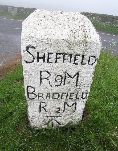
///encrusted.coverage.busy. Near Bradfield, South Yorkshire

Nearby Locations

Emlin Pinfold Clough

Related Wikis

Canyards Hills

Canyards Hills (grid reference SK250950) is a 64.1 hectare (158.4 acre) biological and geological site of Special Scientific Interest in South Yorkshire...

Wigtwizzle

Wigtwizzle is a hamlet in the civil parish of Bradfield, in South Yorkshire, England. The hamlet is 6 miles (9.7 km) south of Penistone, and 12 miles...

Broomhead Hall

Broomhead Hall was a large English country house that stood in the Ewden valley, to the west of Sheffield, England. The hall stood near the hamlet of Wigtwizzle...

Hallfield House

Hallfield House is a Grade II listed building situated in Bradfield Dale, 1.7 miles (2.74 km) west of the village of Low Bradfield, near Sheffield in England...

Nearby Amenities

Located within 500m of 53.441608,-1.6427336
Agden Bridge
Place: locality
Lat/Long: 53.4420467/-1.6353124
Rook Cabin Flat
Place: locality
Lat/Long: 53.4431244/-1.6470621
The data included in this document is from www.openstreetmap.org. The data is made available under ODbL.

Have you been to Pinfold Clough?

Leave your review of Pinfold Clough below (or comments, questions and feedback).