Emlin

Hill, Mountain in Yorkshire

England

Emlin

Trig Point at Emlin near Low Bradfield The easiest way to reach this summit is from the south via the Grouse Butts and Emlin Ridge. A good grassy track runs almost the whole way.
Trig Point at Emlin near Low Bradfield Credit: Colin Park

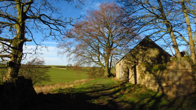
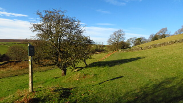
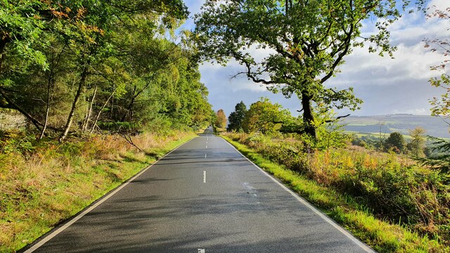
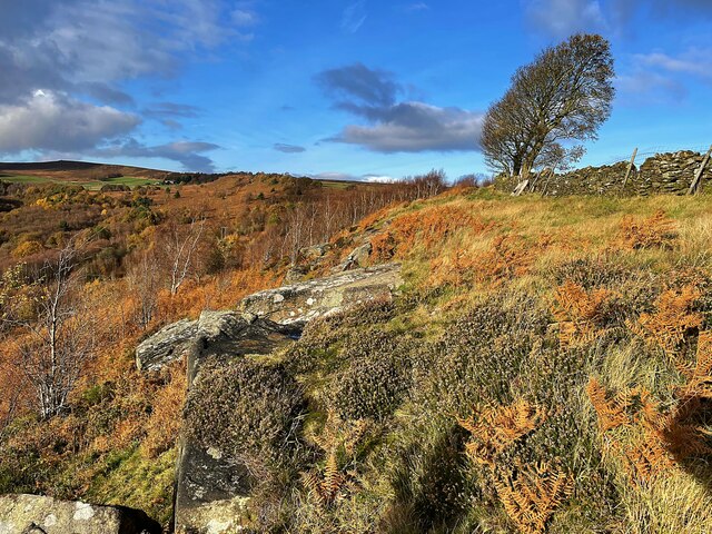
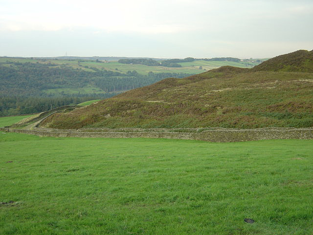
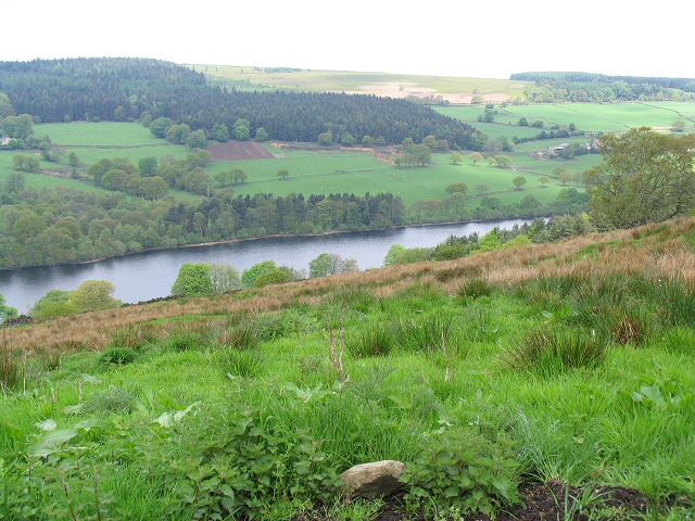
Emlin is a small village located in the Yorkshire Dales National Park, in the county of Yorkshire, England. It is situated on a hill, offering breathtaking views of the surrounding countryside and valleys. The village is known for its picturesque setting and tranquil atmosphere, making it a popular destination for hikers, nature enthusiasts, and those seeking to escape the hustle and bustle of city life.

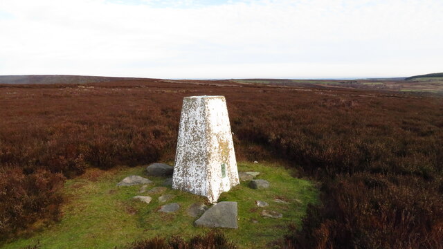
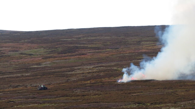
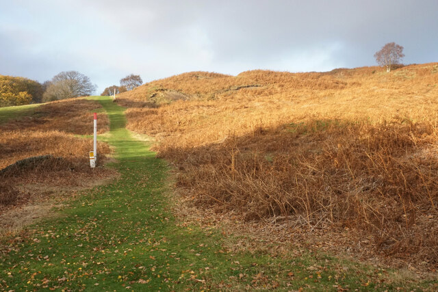
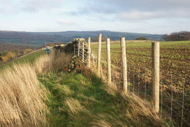
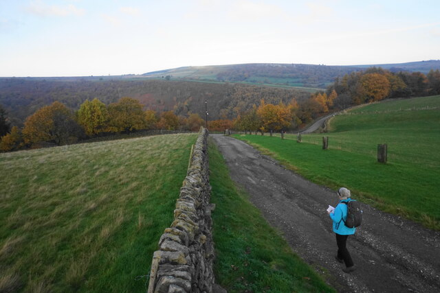
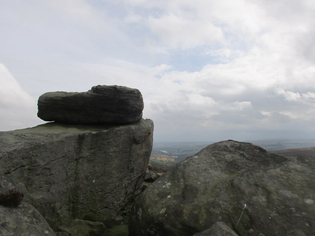
Emlin is surrounded by rolling hills and mountains, making it a haven for outdoor activities such as hiking, mountain biking, and rock climbing. The nearby Emlin Moor, a prominent hill in the area, is a favorite spot for locals and visitors alike, offering panoramic views of the countryside and a chance to spot wildlife such as deer and birds of prey.

The village itself is small, with a population of around 200 residents. It boasts a charming, traditional English countryside aesthetic, with stone cottages, a village green, and a quaint church. There are a few local amenities, including a village pub and a small shop, providing basic necessities for both residents and tourists.

Emlin is well-connected to nearby towns and cities, with good transport links, making it easily accessible for visitors. The area offers a range of accommodation options, including bed and breakfasts, self-catering cottages, and camping sites, allowing visitors to fully immerse themselves in the natural beauty of the Yorkshire Dales.

Overall, Emlin is a peaceful and idyllic village, offering stunning views, outdoor activities, and a chance to experience the tranquility of rural Yorkshire.

If you have any feedback on the listing, please let us know in the comments section below.

Emlin Images

Images are sourced within 2km of 53.436777/-1.6413291 or Grid Reference SK2393. Thanks to Geograph Open Source API. All images are credited.

Trig Point at Emlin near Low Bradfield The easiest way to reach this summit is from the south via the Grouse Butts and Emlin Ridge. A good grassy track runs almost the whole way.
Trig Point at Emlin near Low Bradfield
The easiest way to reach this summit is from the south via the Grouse Butts and Emlin Ridge. A good grassy track runs almost the whole way.
Heather burning on moors W of Emlin near Low Bradfield
Ruinous farm at Rocher Head near High Bradfield
Footpath sign & farmland between Rocher Head & Rocher Wood, High Bradfield
Mortimer Road
Mortimer Road
Lonely Scot's Pine on Bradfield Moors Scot's Pine on the southern side of Emlin Dike on Bradfield Moors. Thornseat Lodge conifer plantation on the right, and Damflask reservoir in the far distance.
Lonely Scot's Pine on Bradfield Moors
Scot's Pine on the southern side of Emlin Dike on Bradfield Moors. Thornseat Lodge conifer plantation on the right, and Damflask reservoir in the far distance.
Walker House Viewed from the other side of Bradfield Dale, with Dale Dike flowing in the trees at the bottom.
Walker House
Viewed from the other side of Bradfield Dale, with Dale Dike flowing in the trees at the bottom.
Grazing land below Hallfield Canada geese are sharing the field with sheep.
Grazing land below Hallfield
Canada geese are sharing the field with sheep.
Path by Dale Dike Reservoir The reservoir is behind the trees to the right.
Path by Dale Dike Reservoir
The reservoir is behind the trees to the right.
Dale Dike Reservoir The water is at a very low level.
Dale Dike Reservoir
The water is at a very low level.
Bridleway off Dale Road A link between Dale Road and Mortimer Road.
Bridleway off Dale Road
A link between Dale Road and Mortimer Road.
Bridleway to Mortimer Road A gas pipeline is sharing the route up the hill.
Bridleway to Mortimer Road
A gas pipeline is sharing the route up the hill.
Footpath on Wilkin Hill This path doesn't appear on my OS map but is a useful addition.
Footpath on Wilkin Hill
This path doesn't appear on my OS map but is a useful addition.
Track on Wilkin Hill The track comes from Woodseats Farm and is joined by a footpath at this point. The Agden valley is down below.
Track on Wilkin Hill
The track comes from Woodseats Farm and is joined by a footpath at this point. The Agden valley is down below.
Solitary wind blown tree on Agden Side
Old Dale Dyke Dam marker stone The bursting of Dale Dyke Dam in 1864 caused the great Sheffield flood, killing 244 people and destroying over 600 homes. The reservoir was rebuilt in 1875 at a much reduced size. This  simple stone marker engraved "CLOB" (Centre Line of Old Bank) marks the position of the original dam wall. Beyond is a plaque in memory of the victims of the disaster <a href="https://www.geograph.org.uk/photo/958479">SK2491 : Dale Dyke Memorial plaque</a>.
Old Dale Dyke Dam marker stone
The bursting of Dale Dyke Dam in 1864 caused the great Sheffield flood, killing 244 people and destroying over 600 homes. The reservoir was rebuilt in 1875 at a much reduced size. This simple stone marker engraved "CLOB" (Centre Line of Old Bank) marks the position of the original dam wall. Beyond is a plaque in memory of the victims of the disaster SK2491 : Dale Dyke Memorial plaque.
Cut Mark Broomhead Moor Milestone
Hurkling stones. Close to the Dukes road path.
Hurkling stones.
Close to the Dukes road path.
Show me another place!

Emlin is located at Grid Ref: SK2393 (Lat: 53.436777, Lng: -1.6413291)

Division: West Riding

Unitary Authority: Sheffield

Police Authority: South Yorkshire

What 3 Words

///prominent.worksheet.completed. Near Bradfield, South Yorkshire

Nearby Locations

Pinfold Clough Emlin

Related Wikis

Hallfield House

Hallfield House is a Grade II listed building situated in Bradfield Dale, 1.7 miles (2.74 km) west of the village of Low Bradfield, near Sheffield in England...

Canyards Hills

Canyards Hills (grid reference SK250950) is a 64.1 hectare (158.4 acre) biological and geological site of Special Scientific Interest in South Yorkshire...

Dale Dike Reservoir

Dale Dike Reservoir or Dale Dyke Reservoir (grid reference SK240913) is a reservoir in the north-east Peak District, in the City of Sheffield, South Yorkshire...

Agden Reservoir

Agden Reservoir is a water storage reservoir, situated at grid reference SK260925, 6.5 miles (10 km) west of the centre of Sheffield, South Yorkshire,...

Nearby Amenities

Located within 500m of 53.436777,-1.6413291
Emlin
Man Made: survey_point
Natural: peak
Lat/Long: 53.4365161/-1.6404204
Hunting Stand
Hunting Stand: grouse_butt
Lat/Long: 53.4325756/-1.6394725
Hunting Stand
Hunting Stand: grouse_butt
Lat/Long: 53.43287/-1.6399832
Hunting Stand
Hunting Stand: grouse_butt
Lat/Long: 53.4332305/-1.6405376
Hunting Stand
Hunting Stand: grouse_butt
Lat/Long: 53.4335564/-1.6410465
Hunting Stand
Hunting Stand: grouse_butt
Lat/Long: 53.4341455/-1.6413081
The data included in this document is from www.openstreetmap.org. The data is made available under ODbL.

Have you been to Emlin?

Leave your review of Emlin below (or comments, questions and feedback).