Ewden Coppice
Wood, Forest in Yorkshire
England
Ewden Coppice
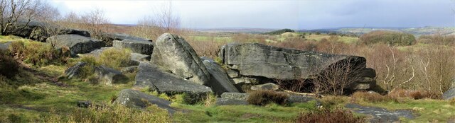
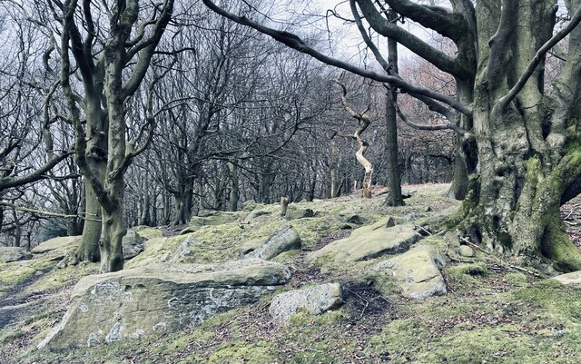
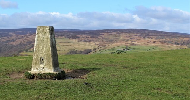
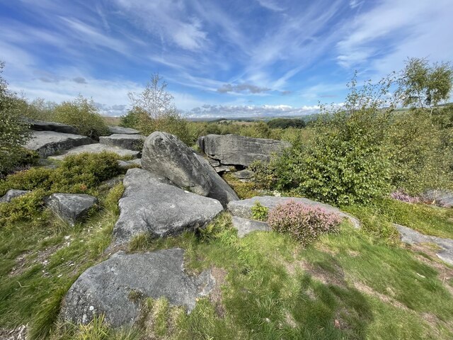
Ewden Coppice is a picturesque woodland located in Yorkshire, England. Situated in the heart of the Peak District National Park, it covers an area of approximately 2 square kilometers. The coppice is known for its rich biodiversity and is home to a variety of plant and animal species.
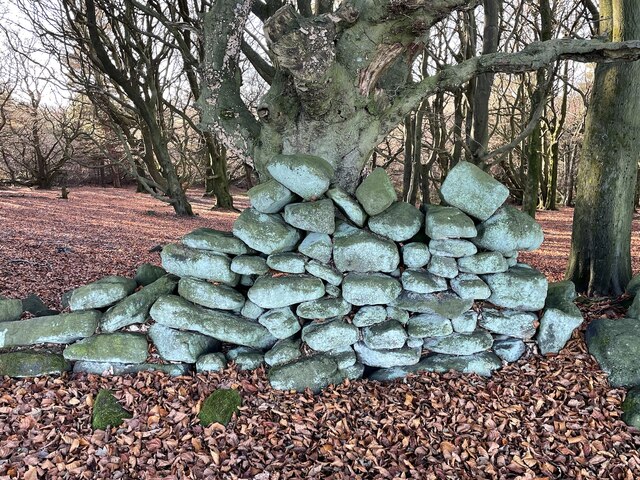
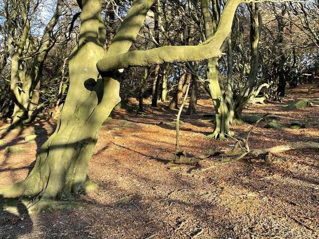
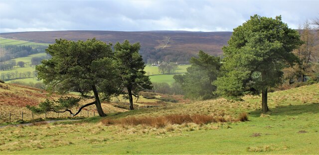
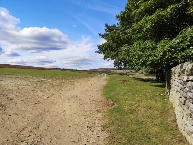
The woodland is predominantly made up of oak and birch trees, which create a dense canopy that provides shelter for many creatures. Bluebells, wild garlic, and ferns cover the forest floor, adding a splash of color to the surroundings during spring and summer.
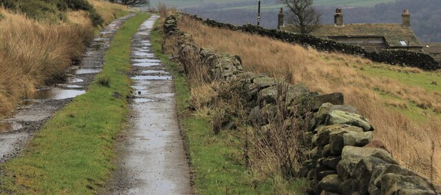
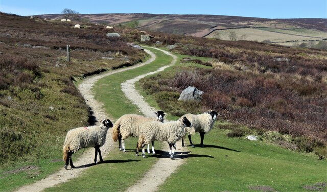
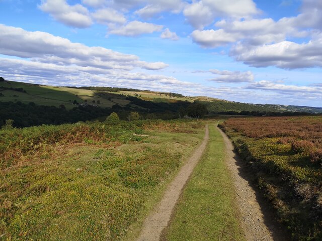
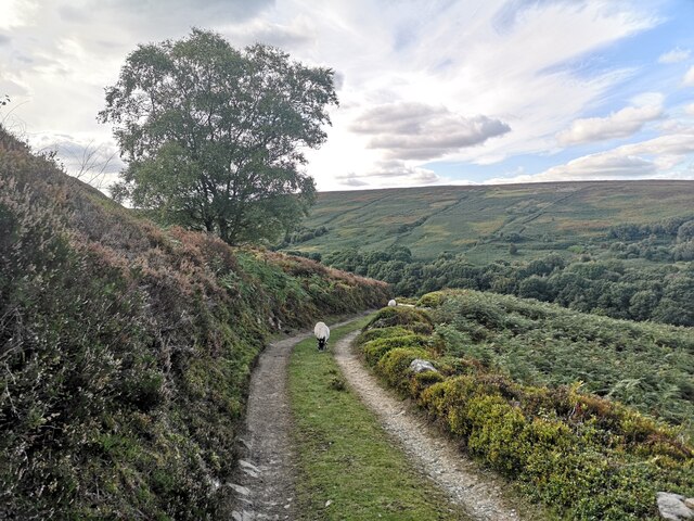
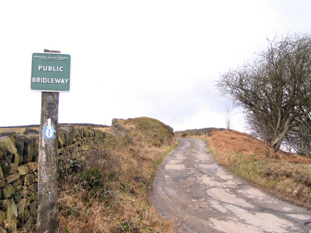
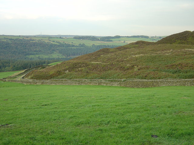
Ewden Coppice is intersected by several walking trails, allowing visitors to explore the woodlands at their own pace. The trails offer breathtaking views of the surrounding countryside, with rolling hills and meandering streams adding to the natural beauty of the area.
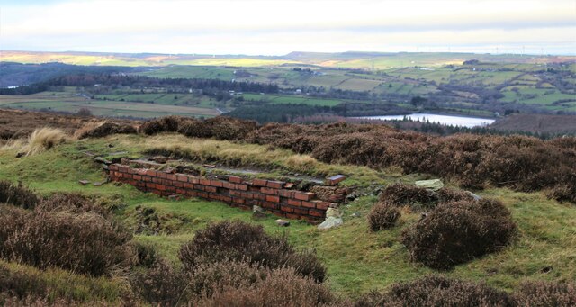
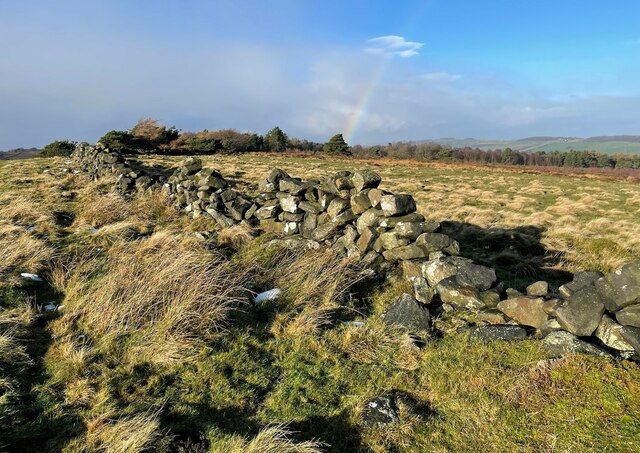
The coppice also holds historical significance, as it was once a site of charcoal production during the Industrial Revolution. Remnants of the charcoal kilns can still be seen, providing a glimpse into the area's past.
Due to its remote location, Ewden Coppice offers a tranquil and peaceful atmosphere, making it a popular destination for nature enthusiasts and hikers. The woodland provides an opportunity for visitors to connect with nature, relax, and immerse themselves in the beauty of the natural world.
If you have any feedback on the listing, please let us know in the comments section below.
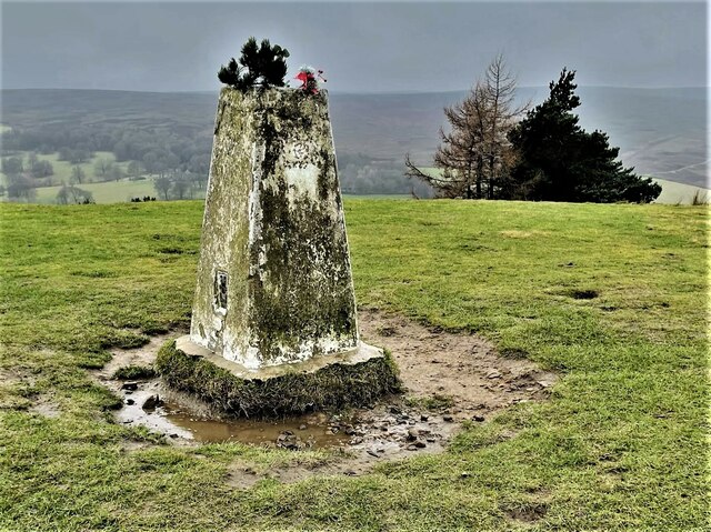
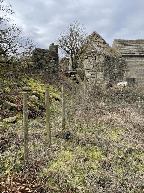
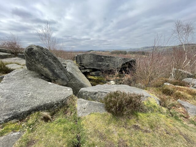
Ewden Coppice Images
Images are sourced within 2km of 53.467935/-1.6423019 or Grid Reference SK2396. Thanks to Geograph Open Source API. All images are credited.
Ewden Coppice is located at Grid Ref: SK2396 (Lat: 53.467935, Lng: -1.6423019)
Division: West Riding
Unitary Authority: Sheffield
Police Authority: South Yorkshire
What 3 Words
///flipper.screaming.grandson. Near Stocksbridge, South Yorkshire
Nearby Locations
Related Wikis
Wigtwizzle
Wigtwizzle is a hamlet in the civil parish of Bradfield, in South Yorkshire, England. The hamlet is 6 miles (9.7 km) south of Penistone, and 12 miles...

Broomhead Hall
Broomhead Hall was a large English country house that stood in the Ewden valley, to the west of Sheffield, England. The hall stood near the hamlet of Wigtwizzle...
Canyards Hills
Canyards Hills (grid reference SK250950) is a 64.1 hectare (158.4 acre) biological and geological site of Special Scientific Interest in South Yorkshire...

Midhopestones
Midhopestones (archaic Nether Midhope, also Middup, or Middop) is a village in the civil parish of Bradfield within the Stocksbridge and Upper Don electoral...
Nearby Amenities
Located within 500m of 53.467935,-1.6423019Have you been to Ewden Coppice?
Leave your review of Ewden Coppice below (or comments, questions and feedback).