Deerness Valley

Valley in Durham

England

Deerness Valley

Brandon to Bishop Auckland Railway Path This is part of National Cycle Network route 70.
Brandon to Bishop Auckland Railway Path Credit: Clive Nicholson

Deerness Valley is a picturesque region located in County Durham, in the northeastern part of England. Situated between the towns of Durham and Sunderland, it is known for its stunning natural beauty and rich industrial history.

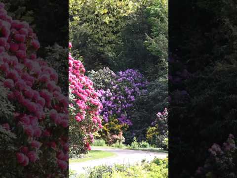
The valley is named after the River Deerness, which flows through the region, creating a scenic landscape of rolling hills, lush green fields, and charming villages. The river is a popular spot for fishing and attracts many anglers throughout the year.

The area has a long history of coal mining, with several collieries operating in the valley during the 19th and 20th centuries. Today, the remnants of these coal mines can still be seen, serving as a reminder of the region's industrial past.

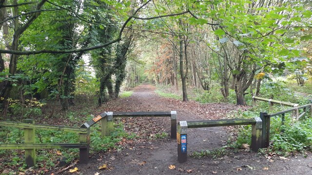
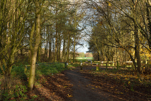
Deerness Valley offers a range of recreational activities for visitors and locals alike. The area is crisscrossed by numerous walking and cycling trails, allowing outdoor enthusiasts to explore the stunning countryside. The valley is also home to several nature reserves, providing habitats for a variety of wildlife species.

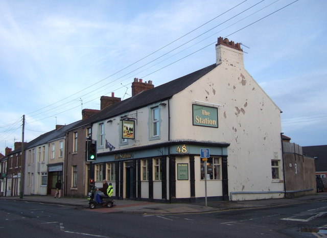
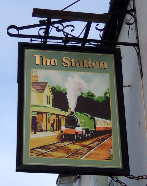
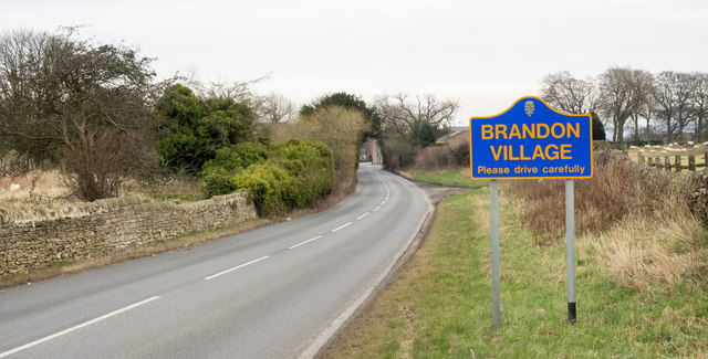
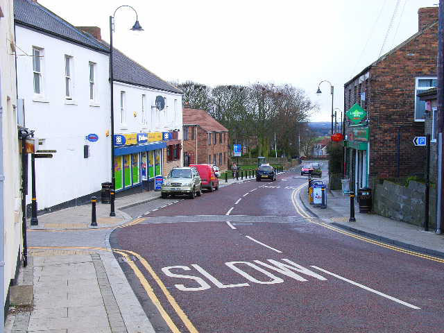
The village of Esh Winning, located in the valley, is a popular destination for tourists. It boasts charming stone-built houses, a village green, and a local pub where visitors can enjoy traditional English cuisine.

Overall, Deerness Valley is a hidden gem in County Durham, offering a delightful blend of natural beauty, industrial heritage, and recreational opportunities. Whether it's exploring the walking trails, fishing in the river, or simply enjoying the serene surroundings, this valley has something to offer for everyone.

If you have any feedback on the listing, please let us know in the comments section below.

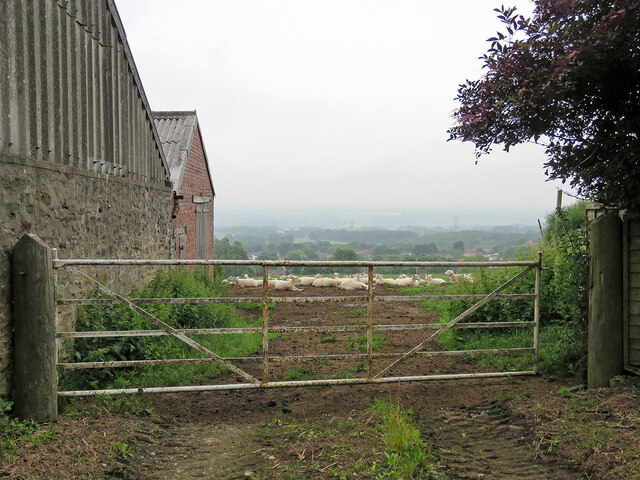
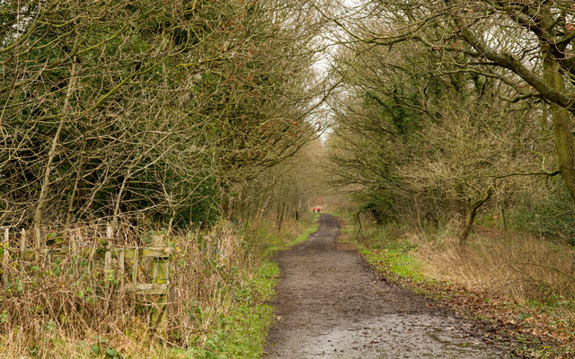
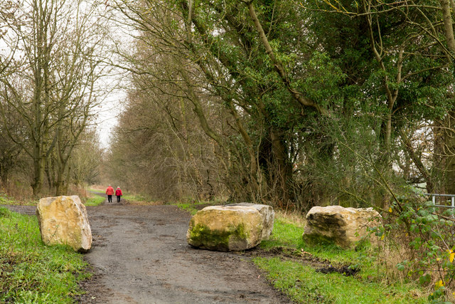
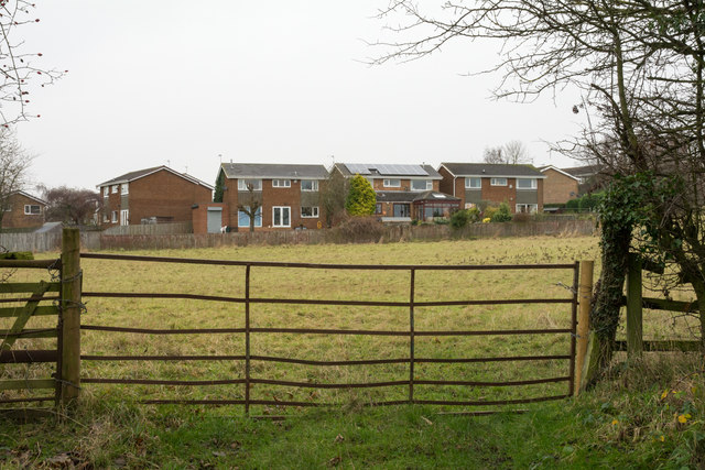
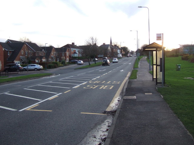
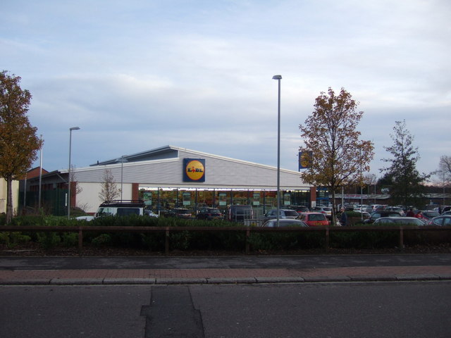
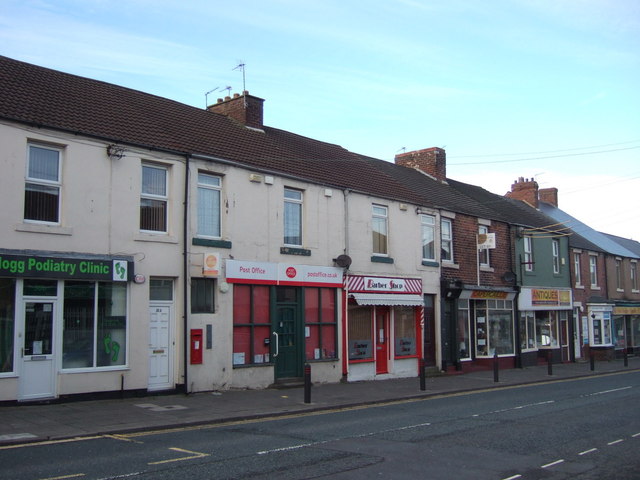
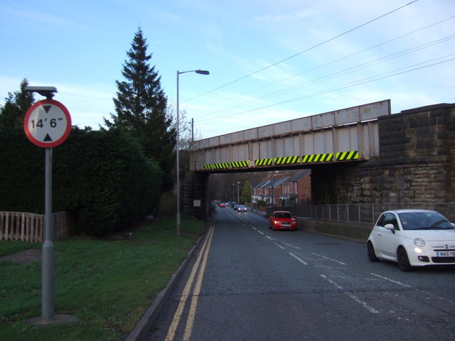
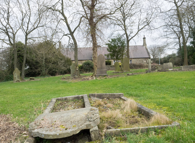
Deerness Valley Images

Images are sourced within 2km of 54.768732/-1.6290506 or Grid Reference NZ2341. Thanks to Geograph Open Source API. All images are credited.

Brandon to Bishop Auckland Railway Path This is part of National Cycle Network route 70.
Brandon to Bishop Auckland Railway Path
This is part of National Cycle Network route 70.
Church of St John the Evangelist Parish church of Meadowfield, Brandon, near Durham.
Church of St John the Evangelist
Parish church of Meadowfield, Brandon, near Durham.
Brandon - Bishop Auckland Railway Path The Brandon to Bishop Auckland Railway Path here is passing between Brandon and Meadowfield, heading north-east.
Brandon - Bishop Auckland Railway Path
The Brandon to Bishop Auckland Railway Path here is passing between Brandon and Meadowfield, heading north-east.
St John the Evangelist Church, Meadowfield
Brandon Village: sheep with a view Looking across the valley from Brandon Hall Farm. There was only a misty sort of view at 8.15 on this July morning and heavy rain arrived soon, persisting for most of the day in much of the North East.
Brandon Village: sheep with a view
Looking across the valley from Brandon Hall Farm. There was only a misty sort of view at 8.15 on this July morning and heavy rain arrived soon, persisting for most of the day in much of the North East.
Deerness Valley Walk below Broompark The Deerness Valley Railway Walk follows, as would be imagined, an old railway route, using its track bed. Much of the way, as at this location, passes through trees; those to the right in the image are of Cooke's West Wood.
Deerness Valley Walk below Broompark
The Deerness Valley Railway Walk follows, as would be imagined, an old railway route, using its track bed. Much of the way, as at this location, passes through trees; those to the right in the image are of Cooke's West Wood.
Boulders on Deerness Valley Railway Walk Immediately beyond the rocks a steep, rough road rises to the left reaching the B6302, Broom Lane, between Broompark and Ushaw Moor. They are surely in place to prevent vehicles descending to the railway path and then travelling along it in the direction of the camera!
Boulders on Deerness Valley Railway Walk
Immediately beyond the rocks a steep, rough road rises to the left reaching the B6302, Broom Lane, between Broompark and Ushaw Moor. They are surely in place to prevent vehicles descending to the railway path and then travelling along it in the direction of the camera!
Field beyond metal gate The field lies on the west side of a lane rising from the B6302 at the west end of the village of Broompark. The modern houses beyond the field maybe considered as being in Broompark or the neighbouring village of Ushaw Moor; they are closer to the former but the estate is more contiguous with the latter.
Field beyond metal gate
The field lies on the west side of a lane rising from the B6302 at the west end of the village of Broompark. The modern houses beyond the field maybe considered as being in Broompark or the neighbouring village of Ushaw Moor; they are closer to the former but the estate is more contiguous with the latter.
The Station Inn, Langley Moor On High Street South.
The Station Inn, Langley Moor
On High Street South.
Sign for the Station Inn, Langley Moor
St Patrick's Church at Meadowfield
High Street (A690), Meadowfield Looking north east.
High Street (A690), Meadowfield
Looking north east.
Bus stop and shelter on High Street (A690), Meadowfield
Lidl supermarket, Langley Moor
Post office on High Street, Langley Moor
Railway bridge over the A690, Langley Moor Carries the East Coast Main Line.
Railway bridge over the A690, Langley Moor
Carries the East Coast Main Line.
Cemetery at Brandon Village Brandon Village is part of the greater settlement of Brandon, lying at the north-western edge of it. The cemetery there is in a sorry state seeming to be all but abandoned. Its graves seem to be largely untended and the site is treated similarly. Perhaps the reason for neglect is public safety - the western end, behind the camera position is quite affected by subsidence, no doubt due to mining. There are notices there warning folk to keep out due to the perceived danger.
Cemetery at Brandon Village
Brandon Village is part of the greater settlement of Brandon, lying at the north-western edge of it. The cemetery there is in a sorry state seeming to be all but abandoned. Its graves seem to be largely untended and the site is treated similarly. Perhaps the reason for neglect is public safety - the western end, behind the camera position is quite affected by subsidence, no doubt due to mining. There are notices there warning folk to keep out due to the perceived danger.
Road sign on Pit Lane The blue and yellow road sign is in a style found commonly in County Durham to announce the arrival of travellers at a town or village. Pit Lane continues into the small settlement of Brandon Village which is considered separately - at least as far as road signage goes - from the larger, Brandon.
Road sign on Pit Lane
The blue and yellow road sign is in a style found commonly in County Durham to announce the arrival of travellers at a town or village. Pit Lane continues into the small settlement of Brandon Village which is considered separately - at least as far as road signage goes - from the larger, Brandon.
Show me another place!

Deerness Valley is located at Grid Ref: NZ2341 (Lat: 54.768732, Lng: -1.6290506)

Unitary Authority: County Durham

Police Authority: Durham

What 3 Words

///hungry.indicate.showering. Near Ushaw Moor, Co. Durham

Related Wikis

Broompark

Broompark is a village in County Durham, England. It is situated some 3 miles (4.8 km) west of Durham city. It was once the site of the Broompark colliery...

Ushaw Moor railway station

Ushaw Moor railway station, was a station on the Deerness Valley Railway, south of the village of Ushaw Moor in County Durham, was opened on 1 September...

Brandon United F.C.

Brandon United Football Club is a football club based in Brandon, County Durham, England. They are currently members of the Northern League Division Two...

New Brancepeth

New Brancepeth is a village in County Durham, in England. It is about 3 miles (5 km) west of the centre of Durham, above the River Deerness. Its population...

Ushaw Moor

Ushaw Moor is an old pit village in County Durham, in England, on the north side of the River Deerness. It is situated to the west of Durham, a short distance...

Bearpark

Bearpark is a village and civil parish in County Durham in England. It is situated two and a half miles west of Durham, and a short distance to the north...

Durham Academy, Ushaw Moor

Durham Academy (formerly Durham Community Business College) is a coeducational secondary school located in Ushaw Moor, County Durham, England.The school...

Aldin Grange for Bearpark railway station

Aldin Grange for Bearpark railway station was located on the Lanchester Valley Railway that operated in County Durham, England. The railway station opened...

Related Videos

15 Min | Walking Mindfulness Meditation | Air Element

Walk towards peace and tranquility with this 15 minute mindfulness walking meditation. Connect with the senses & become aware ...

Nearby Amenities

Located within 500m of 54.768732,-1.6290506
Broompark
Alt Name: Broom Park
Place: village
Wikidata: Q9180058
Wikipedia: en:Broompark
Lat/Long: 54.7706652/-1.6220522
Bus Stop
The Loves
Naptan AtcoCode: 13005054D
Naptan Bearing: SE
Naptan CommonName: The Loves
Naptan Indicator: south east bound
Naptan Landmark: opposite 19 Front Street
Naptan NaptanCode: durdgpag
Naptan PlusbusZoneRef: DRHM
Naptan Street: B6302 - Broom Lane
Naptan Verified: yes
Source: naptan_import; survey
Lat/Long: 54.7706751/-1.6224376
Bus Stop
The Loves
Bench: no
Bin: yes
Bus: yes
Departures Board: timetable
Naptan AtcoCode: 13005054H
Naptan Bearing: NW
Naptan CommonName: The Loves
Naptan Indicator: north west bound
Naptan Landmark: 12m east of 19 Front Street
Naptan NaptanCode: durdgpaj
Naptan PlusbusZoneRef: DRHM
Naptan Street: B6302 - Broom Lane
Naptan Verified: yes
Public Transport: platform
Shelter: yes
Source: naptan_import; survey
Lat/Long: 54.7704482/-1.6219416
Bus Stop
Broomhall Drive
Bus: yes
Naptan AtcoCode: 13005055D
Naptan Bearing: SE
Naptan CommonName: Broomhall Drive
Naptan Indicator: south east bound
Naptan Landmark: Landmark not known
Naptan NaptanCode: durdgpam
Naptan Notes: On Broom Lane- 10m east of boundary of 6 Alderdene Close- Ushaw Moor
Naptan Street: B6302 - Broom Lane
Naptan Verified: no
Public Transport: platform
Source: naptan_import
Lat/Long: 54.7727049/-1.6283202
Bus Stop
Broomhall Drive
Bench: yes
Bin: no
Bus: yes
Naptan AtcoCode: 13005055H
Naptan Bearing: NW
Naptan CommonName: Broomhall Drive
Naptan Indicator: north west bound
Naptan Landmark: Landmark not known
Naptan NaptanCode: durdgpap
Naptan Notes: On Broom Lane- behind 6 Relley Close- Ushaw Moor
Naptan Street: B6302 - Broom Lane
Naptan Verified: no
Public Transport: platform
Shelter: yes
Source: naptan_import
Lat/Long: 54.7730329/-1.6297784
Bus Stop
Primrose Farm
Fixme: Confirm no physical marker, as customer request stop
Naptan AtcoCode: 13005936D
Naptan Bearing: SE
Naptan BusStopType: CUS
Naptan CommonName: Primrose Farm
Naptan Indicator: south east bound
Naptan Landmark: adjacent to Primrose Farm
Naptan NaptanCode: durdmjpm
Naptan Street: Unclassified road
Naptan Verified: no
Source: naptan_import
Lat/Long: 54.7655066/-1.6313081
Bus Stop
Primrose Farm
Fixme: Confirm no physical marker, as customer request stop
Naptan AtcoCode: 13005936H
Naptan Bearing: NW
Naptan BusStopType: CUS
Naptan CommonName: Primrose Farm
Naptan Indicator: north west bound
Naptan Landmark: opp Primrose Farm
Naptan NaptanCode: durdmjpt
Naptan Street: Unclassified road
Naptan Verified: no
Source: naptan_import
Lat/Long: 54.7654802/-1.6314949
Post Box
Ref: DH7 345
Lat/Long: 54.7732221/-1.6292515
Turning Circle
Lat/Long: 54.7691516/-1.6222473
Post Box
Brand: Royal Mail
Brand Wikidata: Q638098
Collection Times: Mo-Fr 09:00; Sa 07:00
Operator: Royal Mail
Operator Wikidata: Q638098
Ref: DH7 62
Royal Cypher: EIIR
Royal Cypher Wikidata: Q33102113
Lat/Long: 54.7704687/-1.6220551
Barrier: kissing_gate
Lat/Long: 54.7659369/-1.6313224
Barrier: stile
Foot: yes
Lat/Long: 54.767642/-1.6296137
Barrier: stile
Lat/Long: 54.7678685/-1.6292932
Barrier: stile
Stile: stepover
Lat/Long: 54.7679395/-1.6291167
Grit Bin
Operator: Durham County Council
Operator Type: government
Operator Wikidata: Q5316492
Ref: DU147
Lat/Long: 54.7731659/-1.6292484
Information: guidepost
Tourism: information
Lat/Long: 54.7663998/-1.6313819
Information: guidepost
Tourism: information
Lat/Long: 54.765517/-1.6313356
Information: guidepost
Tourism: information
Lat/Long: 54.7654288/-1.6313651
Barrier: stile
Note: Also gate for track
Lat/Long: 54.7654055/-1.6313437
Bench
Backrest: yes
Lat/Long: 54.7697111/-1.6282591
Busy Bee Studio
Shop: interior_decoration
Website: https://busybeestudio.co.uk/
Lat/Long: 54.7688338/-1.6309279
Bleach Green Farm
Place: farm
Source Name: OS_OpenData_StreetView
Lat/Long: 54.7689173/-1.6308448
Noexit: yes
Lat/Long: 54.7702797/-1.6222321
Generator Method: photovoltaic
Generator Output Electricity: yes
Generator Source: solar
Generator Type: solar_photovoltaic_panel
Location: roof
Power: generator
Lat/Long: 54.7702464/-1.6247454
Generator Method: photovoltaic
Generator Output Electricity: yes
Generator Source: solar
Generator Type: solar_photovoltaic_panel
Location: roof
Power: generator
Lat/Long: 54.7698349/-1.624032
Generator Method: photovoltaic
Generator Output Electricity: yes
Generator Source: solar
Generator Type: solar_photovoltaic_panel
Location: roof
Power: generator
Lat/Long: 54.7701915/-1.6224816
Grit Bin
Lat/Long: 54.7672199/-1.635945
The data included in this document is from www.openstreetmap.org. The data is made available under ODbL.

Have you been to Deerness Valley?

Leave your review of Deerness Valley below (or comments, questions and feedback).