Bramley Dale

Valley in Derbyshire Derbyshire Dales

England

Bramley Dale

Woodland behind the Eyre Arms This woodland on this hill behind the Eyre Arms is just to the south-west of the centre of SK27.
Woodland behind the Eyre Arms Credit: Roger Temple

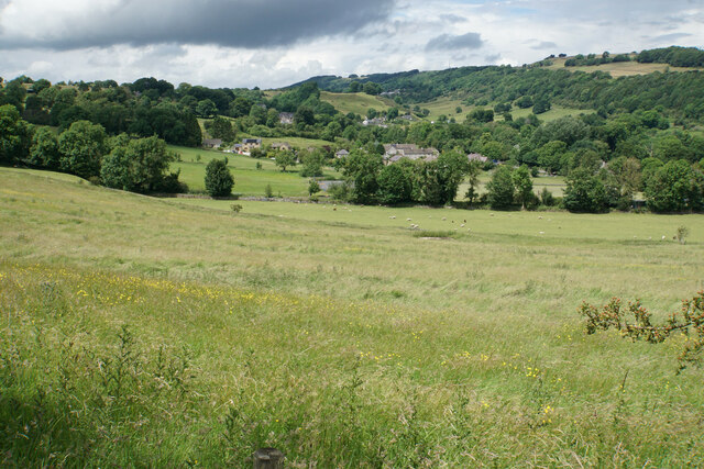
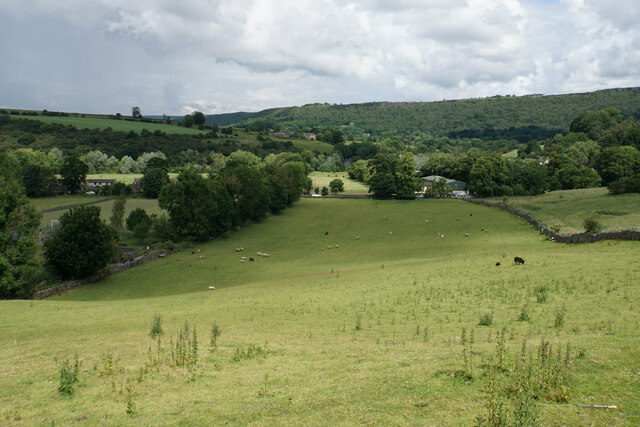
Bramley Dale is a picturesque village nestled in the heart of Derbyshire, England. Located in a valley, the village is surrounded by rolling hills and breathtaking natural beauty. With a population of around 1,500 residents, Bramley Dale maintains a close-knit and welcoming community.

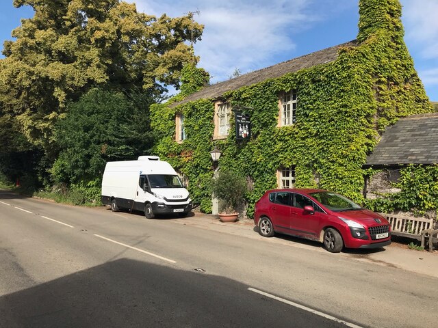
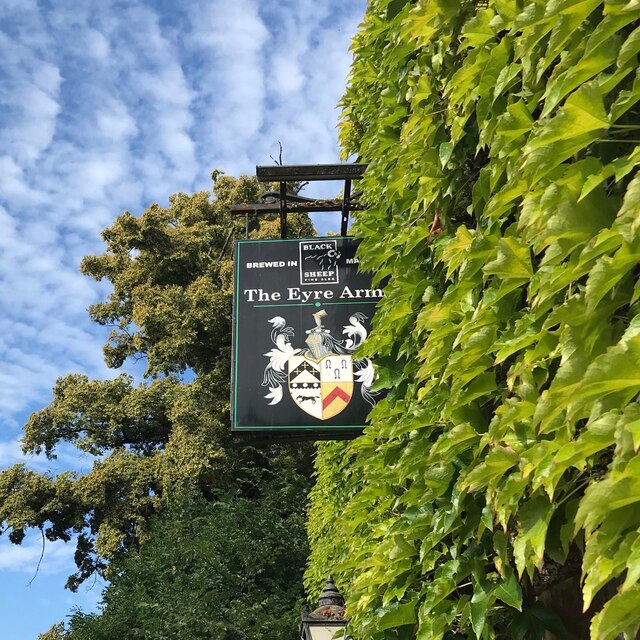
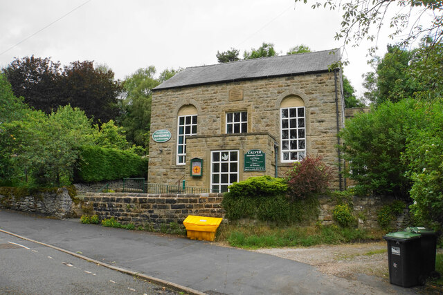
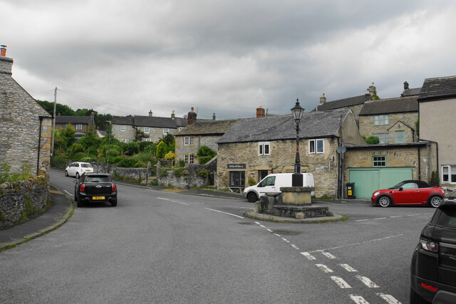
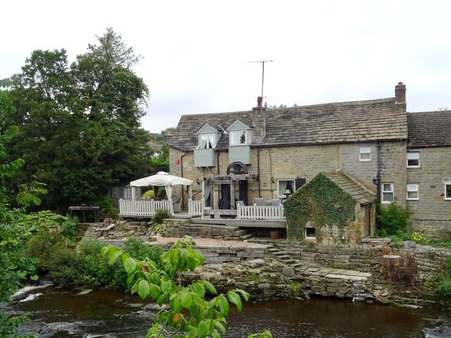
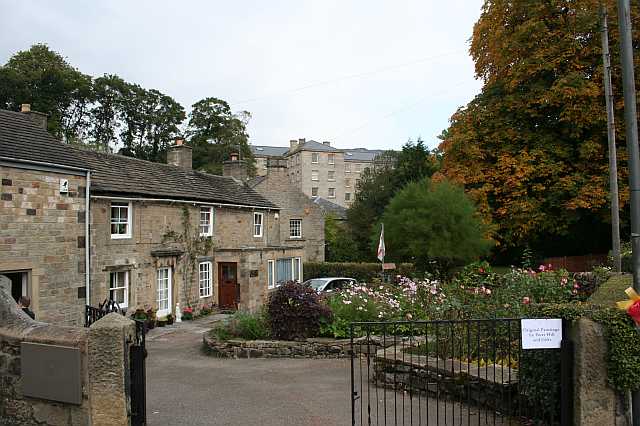
The village is renowned for its charming stone cottages that line the quaint streets. These traditional buildings add to the village's character and give it a timeless appeal. The main street is lined with local shops, cafes, and pubs, offering a range of amenities and services for both residents and visitors.

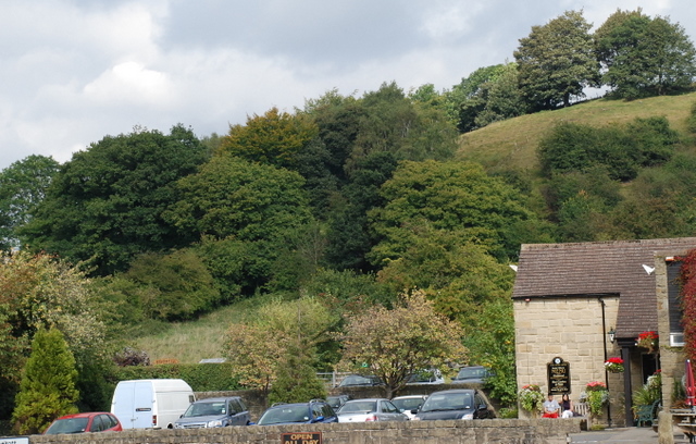
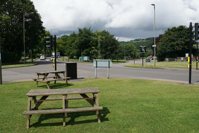
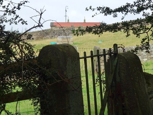
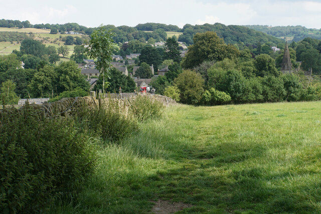
Nature lovers are drawn to Bramley Dale for its stunning landscapes and abundant wildlife. The surrounding countryside provides ample opportunities for hiking, cycling, and exploring the great outdoors. The nearby Peak District National Park is a haven for outdoor enthusiasts, offering a vast array of trails, peaks, and valleys to discover.

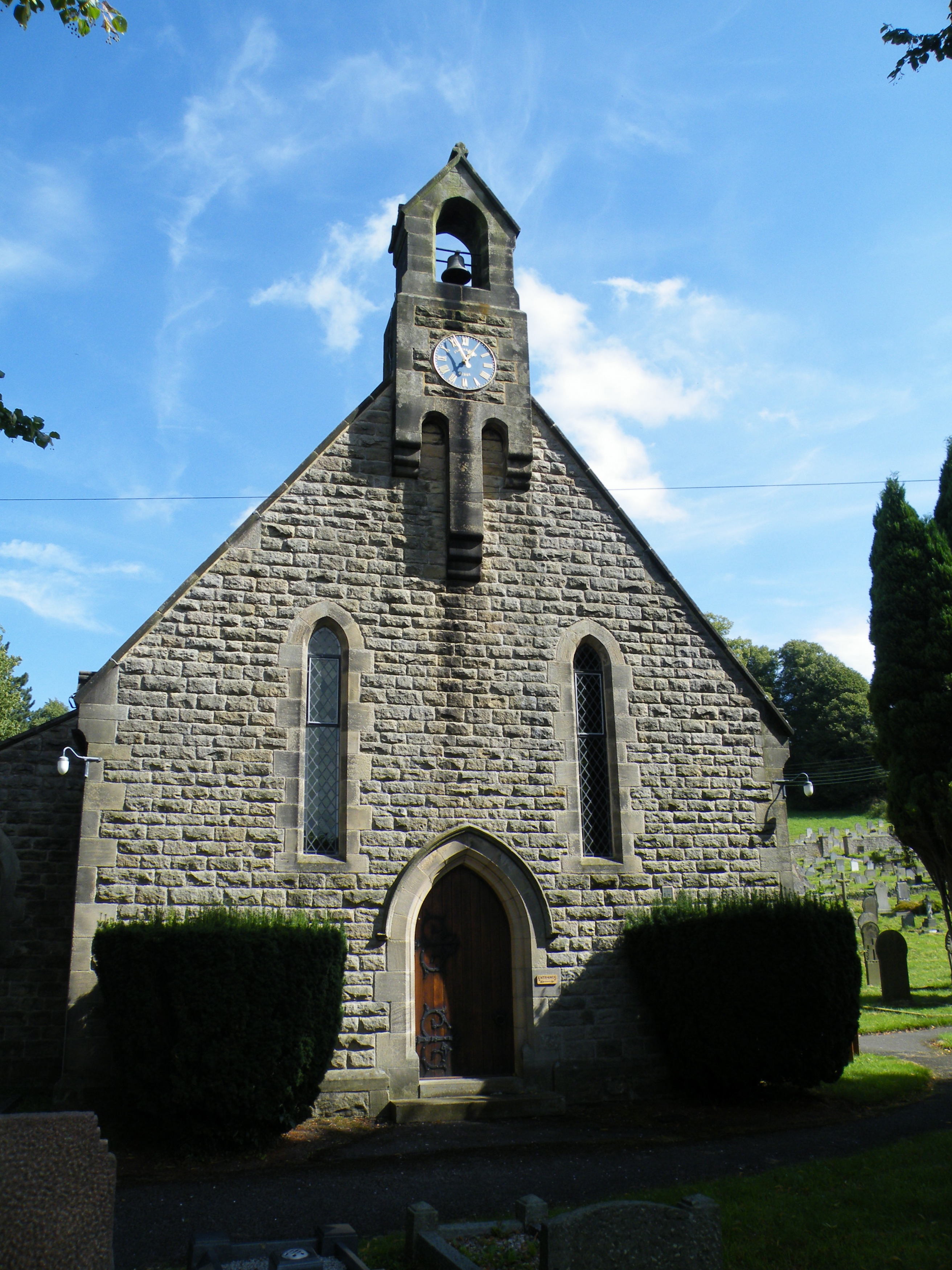
Bramley Dale is also steeped in history, with several historic landmarks and sites of interest. St. Mary's Church, a beautiful medieval building, is a prominent feature of the village and offers a glimpse into its rich heritage. The village is also home to a small museum dedicated to local history, providing visitors with an insight into the area's past.

Overall, Bramley Dale is a charming and idyllic village, offering a tranquil escape from the hustle and bustle of city life. With its stunning natural surroundings, rich history, and warm community spirit, it is a hidden gem in the Derbyshire countryside.

If you have any feedback on the listing, please let us know in the comments section below.

Bramley Dale Images

Images are sourced within 2km of 53.253797/-1.6420509 or Grid Reference SK2373. Thanks to Geograph Open Source API. All images are credited.

Woodland behind the Eyre Arms This woodland on this hill behind the Eyre Arms is just to the south-west of the centre of SK27.
Woodland behind the Eyre Arms
This woodland on this hill behind the Eyre Arms is just to the south-west of the centre of SK27.
The Eyre Arms The sign on the building says Eyre Arms whereas the one across the road says the Old Eyre Alms <a href="https://www.geograph.org.uk/photo/4888611">SK2272 : The Old Eyre Arms, Hassop</a> which would differentiate it from the other Eyre Arms a few miles away in Calver <a href="https://www.geograph.org.uk/photo/3614234">SK2374 : An Eyre of Importance (8)</a>.  Take your pick!
The Eyre Arms
The sign on the building says Eyre Arms whereas the one across the road says the Old Eyre Alms SK2272 : The Old Eyre Arms, Hassop which would differentiate it from the other Eyre Arms a few miles away in Calver SK2374 : An Eyre of Importance (8). Take your pick!
The sign of The Eyre Arms See <a href="https://www.geograph.org.uk/photo/6922970">SK2272 : The Eyre Arms</a>
The sign of The Eyre Arms
Crossroads in Calver A lot of people will only know Calver from these crossroads, as the A623 passes through, and the A625 turns off. There is a village green here, with more on the opposite side, but the village has quieter and more attractive bits.
Crossroads in Calver
A lot of people will only know Calver from these crossroads, as the A623 passes through, and the A625 turns off. There is a village green here, with more on the opposite side, but the village has quieter and more attractive bits.
Hillside below Calver Low Looking down towards Stoney Middleton. Eyam is just visible further up the far hill.
Hillside below Calver Low
Looking down towards Stoney Middleton. Eyam is just visible further up the far hill.
Field at the bottom of Coombs Dale The A623 runs at the other end of the field. The Derwent valley is in the background with Froggatt Edge on the far side.
Field at the bottom of Coombs Dale
The A623 runs at the other end of the field. The Derwent valley is in the background with Froggatt Edge on the far side.
River Derwent near Calver Both sides of this stretch of the river are lined by trees. There is quite a lot of white water below Calver Weir.
River Derwent near Calver
Both sides of this stretch of the river are lined by trees. There is quite a lot of white water below Calver Weir.
Bridges over the River Derwent The bridge on the left carried the old main road from Baslow before it was replaced by a new Calver Bridge. The bridge on the right is a footbridge.
Bridges over the River Derwent
The bridge on the left carried the old main road from Baslow before it was replaced by a new Calver Bridge. The bridge on the right is a footbridge.
Calver Methodist Church The inscription states that this was Jubilee Primitive Methodist Chapel dating from 1860.
Calver Methodist Church
The inscription states that this was Jubilee Primitive Methodist Chapel dating from 1860.
Lamp standard and mounting block in Calver The lamp and its base are Grade II listed, with its listing details here: <span class="nowrap"><a title="https://historicengland.org.uk/listing/the-list/list-entry/1088211" rel="nofollow ugc noopener" href="https://historicengland.org.uk/listing/the-list/list-entry/1088211">Link</a><img style="margin-left:2px;" alt="External link" title="External link - shift click to open in new window" src="https://s1.geograph.org.uk/img/external.png" width="10" height="10"/></span>.
The cottage behind the hair salon is also Grade II listed.
Lamp standard and mounting block in Calver
The lamp and its base are Grade II listed, with its listing details here: LinkExternal link. The cottage behind the hair salon is also Grade II listed.
Lady Wall Well Lady Wall Well is on a corner of Bar Road, an old packhorse way to the top of Baslow Edge. "bar" is an old word for a steeply-climbing horse road. From the top of Baslow Edge, the old road continues on towards Chesterfield, for a way, before disappearing under modern tarmac.
Lady Wall Well
Lady Wall Well is on a corner of Bar Road, an old packhorse way to the top of Baslow Edge. "bar" is an old word for a steeply-climbing horse road. From the top of Baslow Edge, the old road continues on towards Chesterfield, for a way, before disappearing under modern tarmac.
Derwent Aqueduct access gates and discharge well The Derwent Aqueduct was laid to bring water from the Derwent to Derby, Nottingham and Leicester. Its line is marked by these distinctive access gates and, in this case, a discharge well. The building, in the background and in a neighbouring grid square, is a valve house.
Derwent Aqueduct access gates and discharge well
The Derwent Aqueduct was laid to bring water from the Derwent to Derby, Nottingham and Leicester. Its line is marked by these distinctive access gates and, in this case, a discharge well. The building, in the background and in a neighbouring grid square, is a valve house.
Former flour mill Hodgkinson's Corn Mill became disused in the early 20th century.
Former flour mill
Hodgkinson's Corn Mill became disused in the early 20th century.
Baslow, A619, Thirteen Bends BM on post

SK 2420 7155
Baslow, A619, Thirteen Bends
BM on post SK 2420 7155
Baslow, A619, Thirteen Bends OS Rivet on gatepost 

SK 2392 7152
Baslow, A619, Thirteen Bends
OS Rivet on gatepost SK 2392 7152
Churchyard and church of St Anne, Baslow A Grade II* listed church dating from the 13th Century.
Churchyard and church of St Anne, Baslow
A Grade II* listed church dating from the 13th Century.
Baslow Bridge Grade I listed dating from 1608. The bridge crosses the River Derwent. The former toll booth is on the right. The telephone box just seen to the left is also listed.
Baslow Bridge
Grade I listed dating from 1608. The bridge crosses the River Derwent. The former toll booth is on the right. The telephone box just seen to the left is also listed.
Footpath approaching Baslow A gentle path across grassy fields. The spire of St Anne's Church is to the right.
Footpath approaching Baslow
A gentle path across grassy fields. The spire of St Anne's Church is to the right.
Show me another place!

Bramley Dale is located at Grid Ref: SK2373 (Lat: 53.253797, Lng: -1.6420509)

Administrative County: Derbyshire

District: Derbyshire Dales

Police Authority: Derbyshire

What 3 Words

///diary.peanut.stooping. Near Baslow, Derbyshire

Related Wikis

Baslow Hall

Baslow Hall is a Grade II listed building in Baslow, Derbyshire. == History == Baslow Hall, just off Calver Road, was built in 1907 to the designs of the...

Cliff College

Cliff College is a Christian theological college in Calver, Derbyshire, that teaches Biblical Theology at the undergraduate level and a number of mission...

St Anne's Church, Baslow

St. Anne’s Church, Baslow, is a Grade II* listed parish church in Baslow, England. == History == The church dates from the thirteenth century. It was subject...

Baslow

Baslow is a village in Derbyshire, England, in the Peak District, situated between Sheffield and Bakewell, just over 1 mile (1.6 km) north of Chatsworth...

Calver

Calver (Old English Calf Slope) is a village and civil parish in Derbyshire, England. The population of the civil parish at the 2011 census was 710....

All Saints' Church, Curbar

All Saints’ Church, Curbar is a Church of England parish church in Curbar, Derbyshire. == History == Until the church was built, the nearest parish church...

Church of All Saints, Hassop

The Church of All Saints is a Roman Catholic parish church in Hassop, Derbyshire. Built in 1816–17, the architect was Joseph Ireland. It is a Grade...

Hassop

Hassop is a village in the local government district of Derbyshire Dales in Derbyshire, England. It is in the civil parish of Great Longstone It developed...

Nearby Amenities

Located within 500m of 53.253797,-1.6420509
Parking
Capacity: 2
Lat/Long: 53.257573/-1.6460606
Parking
Capacity: 3
Lat/Long: 53.2572084/-1.644398
The data included in this document is from www.openstreetmap.org. The data is made available under ODbL.

Have you been to Bramley Dale?

Leave your review of Bramley Dale below (or comments, questions and feedback).