Back Dale Wood

Wood, Forest in Derbyshire Derbyshire Dales

England

Back Dale Wood

Woodland behind the Eyre Arms This woodland on this hill behind the Eyre Arms is just to the south-west of the centre of SK27.
Woodland behind the Eyre Arms Credit: Roger Temple

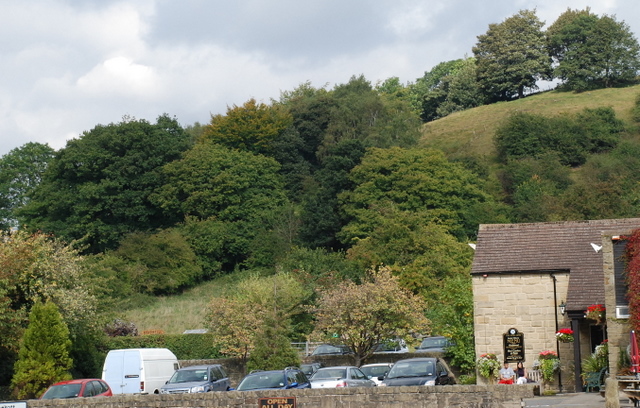
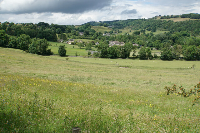
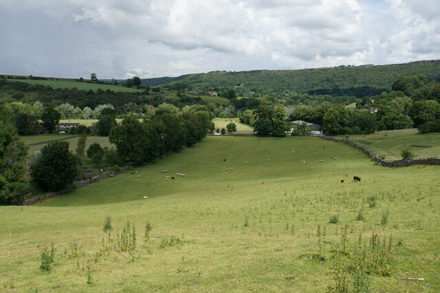
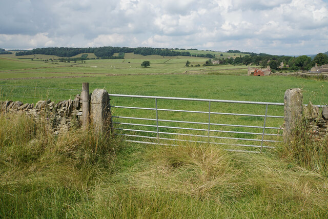
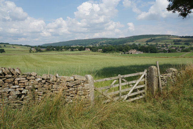
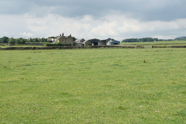
Back Dale Wood is a picturesque forest located in the county of Derbyshire, England. Covering an area of approximately 20 hectares, this woodland is nestled within the scenic Peak District National Park. The wood is situated in the valley of the River Derwent, near the village of Bamford.

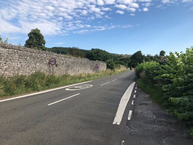
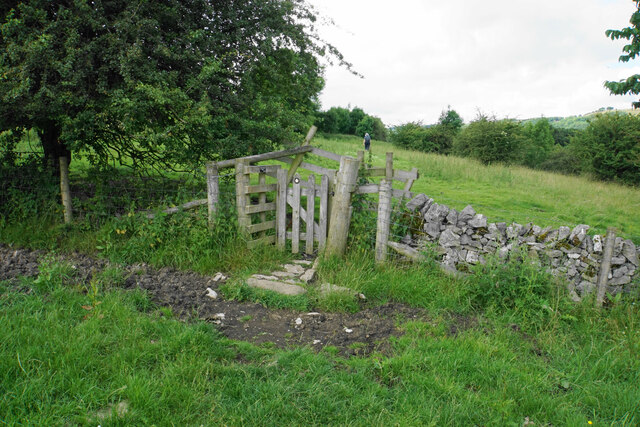
The forest is primarily composed of native broadleaf trees such as oak, beech, and birch, which provide a rich and diverse habitat for various wildlife species. Visitors can explore the wood through well-maintained footpaths that wind through the thick foliage, offering stunning views of the surrounding countryside.

Back Dale Wood is renowned for its vibrant flora, particularly during spring when the forest floor comes alive with a carpet of bluebells and wild garlic. This attracts a wide range of insects, including butterflies and bees, which thrive in this biodiverse ecosystem.

The wood is also home to a variety of bird species, making it a popular spot for birdwatching enthusiasts. Visitors may catch a glimpse of woodpeckers, owls, and several species of songbirds as they traverse the trails.

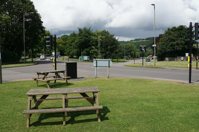
Aside from its natural beauty, Back Dale Wood is a tranquil retreat that offers a peaceful environment for relaxation and recreation. It is a favorite spot for walking, picnicking, and photography, providing an escape from the hustle and bustle of everyday life.

In summary, Back Dale Wood is a charming forest located in Derbyshire's Peak District National Park. With its abundant wildlife, stunning flora, and serene atmosphere, it is a haven for nature lovers and a must-visit destination for anyone seeking solace in the great outdoors.

If you have any feedback on the listing, please let us know in the comments section below.

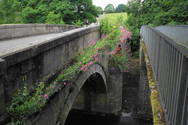
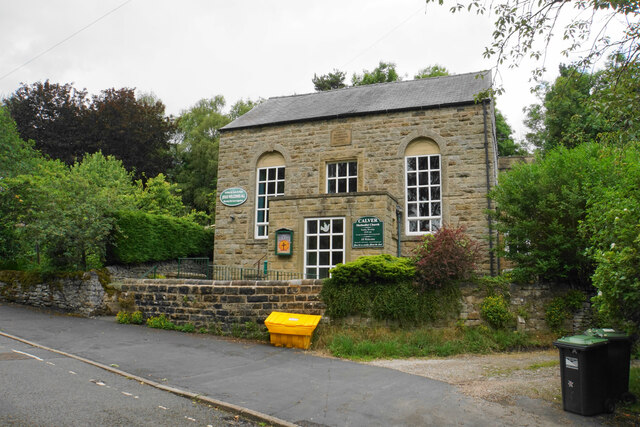
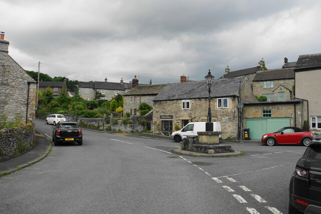
Back Dale Wood Images

Images are sourced within 2km of 53.256413/-1.6543654 or Grid Reference SK2373. Thanks to Geograph Open Source API. All images are credited.

Woodland behind the Eyre Arms This woodland on this hill behind the Eyre Arms is just to the south-west of the centre of SK27.
Woodland behind the Eyre Arms
This woodland on this hill behind the Eyre Arms is just to the south-west of the centre of SK27.
The B6001 Between Bakewell and Calver.  Here a 40 mph speed limit for the village of Hassop starts.
The B6001
Between Bakewell and Calver. Here a 40 mph speed limit for the village of Hassop starts.
The Eyre Arms The sign on the building says Eyre Arms whereas the one across the road says the Old Eyre Alms <a href="https://www.geograph.org.uk/photo/4888611">SK2272 : The Old Eyre Arms, Hassop</a> which would differentiate it from the other Eyre Arms a few miles away in Calver <a href="https://www.geograph.org.uk/photo/3614234">SK2374 : An Eyre of Importance (8)</a>.  Take your pick!
The Eyre Arms
The sign on the building says Eyre Arms whereas the one across the road says the Old Eyre Alms SK2272 : The Old Eyre Arms, Hassop which would differentiate it from the other Eyre Arms a few miles away in Calver SK2374 : An Eyre of Importance (8). Take your pick!
The sign of The Eyre Arms See <a href="https://www.geograph.org.uk/photo/6922970">SK2272 : The Eyre Arms</a>
The sign of The Eyre Arms
Crossroads in Calver A lot of people will only know Calver from these crossroads, as the A623 passes through, and the A625 turns off. There is a village green here, with more on the opposite side, but the village has quieter and more attractive bits.
Crossroads in Calver
A lot of people will only know Calver from these crossroads, as the A623 passes through, and the A625 turns off. There is a village green here, with more on the opposite side, but the village has quieter and more attractive bits.
Hillside below Calver Low Looking down towards Stoney Middleton. Eyam is just visible further up the far hill.
Hillside below Calver Low
Looking down towards Stoney Middleton. Eyam is just visible further up the far hill.
Field at the bottom of Coombs Dale The A623 runs at the other end of the field. The Derwent valley is in the background with Froggatt Edge on the far side.
Field at the bottom of Coombs Dale
The A623 runs at the other end of the field. The Derwent valley is in the background with Froggatt Edge on the far side.
Footpath and gate above Stoney Middleton The wooden structures around the gate show some evolutionary randomness.
Footpath and gate above Stoney Middleton
The wooden structures around the gate show some evolutionary randomness.
Bridges over the River Derwent The bridge on the left carried the old main road from Baslow before it was replaced by a new Calver Bridge. The bridge on the right is a footbridge.
Bridges over the River Derwent
The bridge on the left carried the old main road from Baslow before it was replaced by a new Calver Bridge. The bridge on the right is a footbridge.
Calver Methodist Church The inscription states that this was Jubilee Primitive Methodist Chapel dating from 1860.
Calver Methodist Church
The inscription states that this was Jubilee Primitive Methodist Chapel dating from 1860.
Lamp standard and mounting block in Calver The lamp and its base are Grade II listed, with its listing details here: <span class="nowrap"><a title="https://historicengland.org.uk/listing/the-list/list-entry/1088211" rel="nofollow ugc noopener" href="https://historicengland.org.uk/listing/the-list/list-entry/1088211">Link</a><img style="margin-left:2px;" alt="External link" title="External link - shift click to open in new window" src="https://s1.geograph.org.uk/img/external.png" width="10" height="10"/></span>.
The cottage behind the hair salon is also Grade II listed.
Lamp standard and mounting block in Calver
The lamp and its base are Grade II listed, with its listing details here: LinkExternal link. The cottage behind the hair salon is also Grade II listed.
Baslow, A619, Thirteen Bends OS Rivet on gatepost 

SK 2392 7152
Baslow, A619, Thirteen Bends
OS Rivet on gatepost SK 2392 7152
Field entrance near Baslow In the distance you can see the plantations known as The Royal Cypher on the far side of Bramley Dale.
Field entrance near Baslow
In the distance you can see the plantations known as The Royal Cypher on the far side of Bramley Dale.
Field entrance near Baslow Quite prominent behind the gate is Bubnell Hall. On the hills behind are Baslow Edge and Curbar Edge.
Field entrance near Baslow
Quite prominent behind the gate is Bubnell Hall. On the hills behind are Baslow Edge and Curbar Edge.
Bubnell Cliff Farm Viewed from a nearby footpath.
Bubnell Cliff Farm
Viewed from a nearby footpath.
Steps over stone wall Blocky concrete steps built into a stone wall to allow people to climb over it. On the corner of a field near Baslow.
Steps over stone wall
Blocky concrete steps built into a stone wall to allow people to climb over it. On the corner of a field near Baslow.
Hassop  Road  into  Calver  Low
Hassop Road into Calver Low
Traffic  lights  at  junction  with  A623 Hassop Road B6001 into Calver Low. Eyre Arms centre over the A623
Traffic lights at junction with A623
Hassop Road B6001 into Calver Low. Eyre Arms centre over the A623
Show me another place!

Back Dale Wood is located at Grid Ref: SK2373 (Lat: 53.256413, Lng: -1.6543654)

Administrative County: Derbyshire

District: Derbyshire Dales

Police Authority: Derbyshire

What 3 Words

///snore.ruffling.simulations. Near Baslow, Derbyshire

Related Wikis

Church of All Saints, Hassop

The Church of All Saints is a Roman Catholic parish church in Hassop, Derbyshire. Built in 1816–17, the architect was Joseph Ireland. It is a Grade...
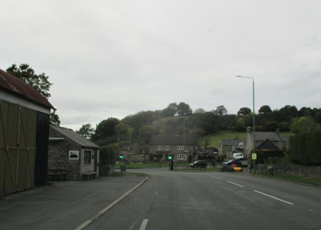
Hassop

Hassop is a village in the local government district of Derbyshire Dales in Derbyshire, England. It is in the civil parish of Great Longstone It developed...
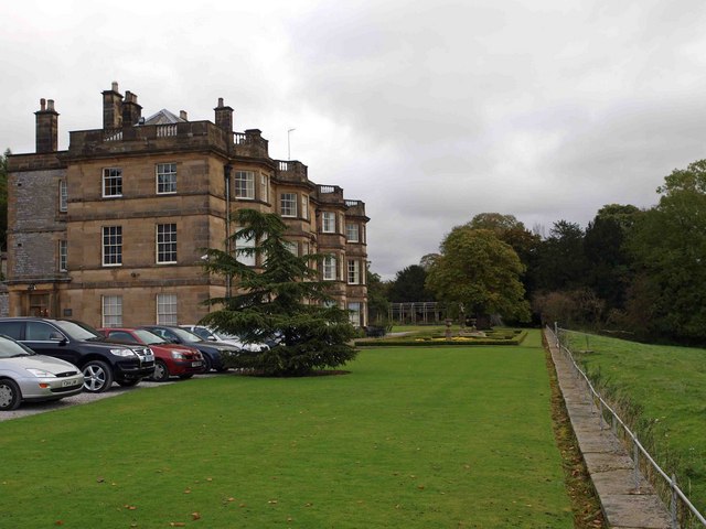
Hassop Hall

Hassop Hall is a 17th-century country house near Bakewell, Derbyshire, which was operated as a hotel until it closed on 29 September 2019. It is a Grade...
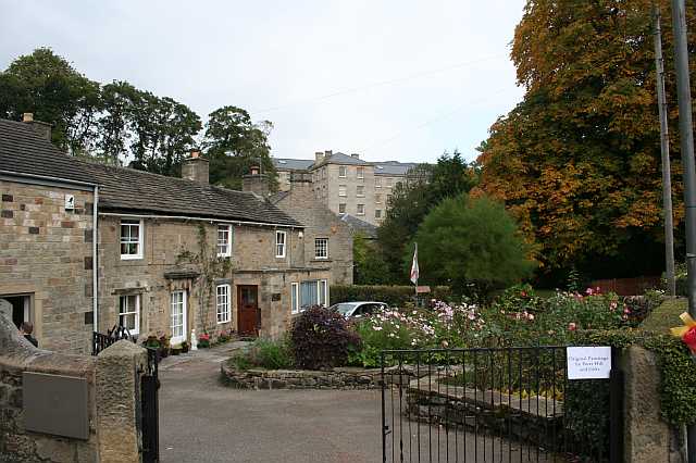
Calver

Calver (Old English Calf Slope) is a village and civil parish in Derbyshire, England. The population of the civil parish at the 2011 census was 710....

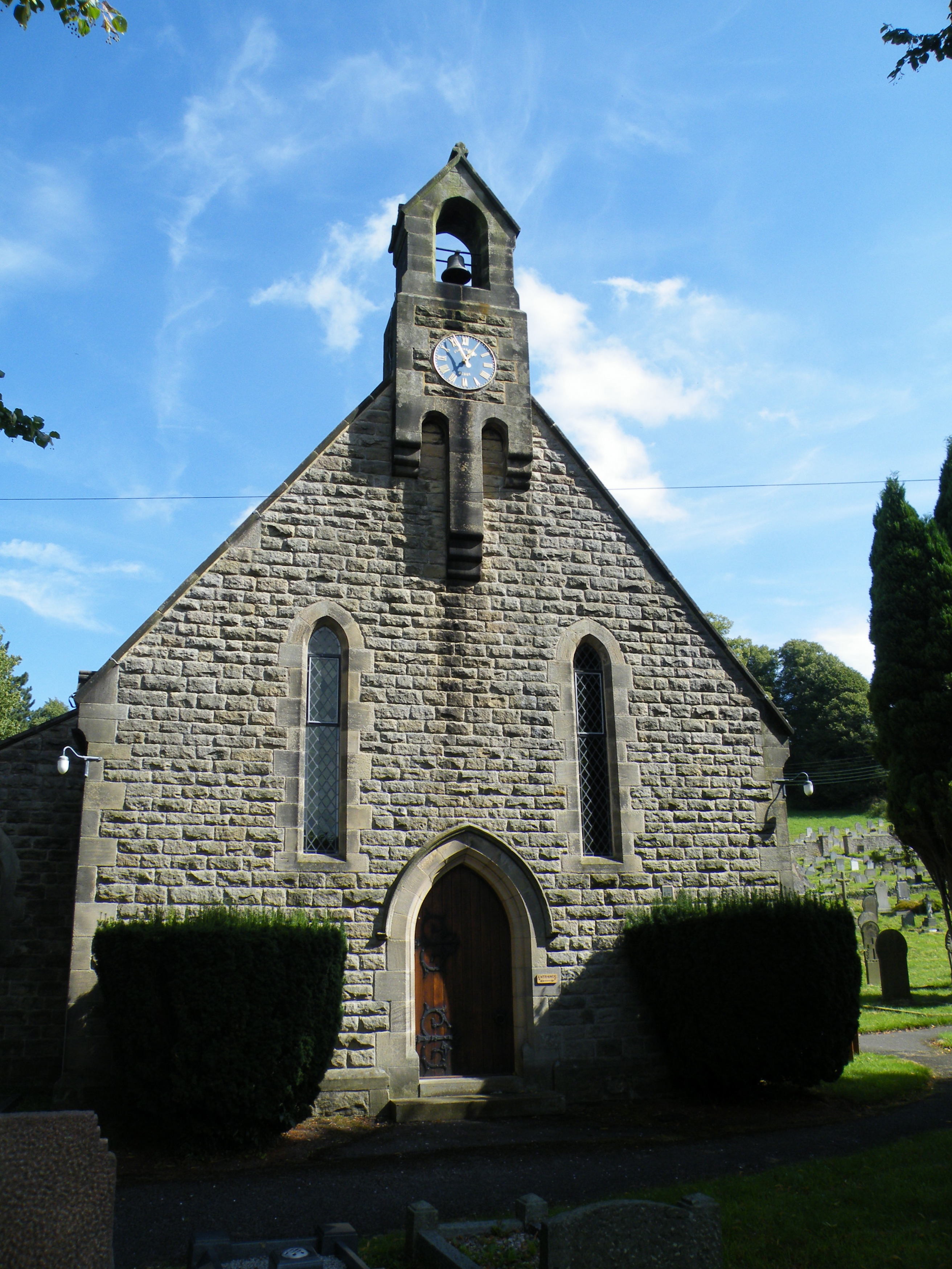
All Saints' Church, Curbar

All Saints’ Church, Curbar is a Church of England parish church in Curbar, Derbyshire. == History == Until the church was built, the nearest parish church...

Coombs Dale

Coombs Dale is a steep-sided, dry carboniferous limestone valley in the Derbyshire Peak District of England. The village of Calver lies about 1 km to the...

Baslow Hall

Baslow Hall is a Grade II listed building in Baslow, Derbyshire. == History == Baslow Hall, just off Calver Road, was built in 1907 to the designs of the...

Cliff College

Cliff College is a Christian theological college in Calver, Derbyshire, that teaches Biblical Theology at the undergraduate level and a number of mission...

Nearby Amenities

Located within 500m of 53.256413,-1.6543654
Barrier: stile
Material: wood
Source: survey;gps
Stile: stepover
Lat/Long: 53.2565078/-1.6585678
Bus Stop
Hassop (Bleaklow Mining)
Bus: yes
Public Transport: platform
Shelter: no
Lat/Long: 53.2571567/-1.6513829
Hassop (Bleaklow Mining)
Bus: yes
Public Transport: stop_position
Lat/Long: 53.2571102/-1.6513223
Barrier: stile
Step Count: 2
Stile: stepover
Lat/Long: 53.255801/-1.6550901
Information: guidepost
Operator: Peak & Northern Footpaths Society
Ref: 543
Source: survey;gps
Tourism: information
Lat/Long: 53.2558485/-1.6549429
Bench
Backrest: yes
Lat/Long: 53.2536459/-1.6515491
The data included in this document is from www.openstreetmap.org. The data is made available under ODbL.

Have you been to Back Dale Wood?

Leave your review of Back Dale Wood below (or comments, questions and feedback).