Thorn's Copse
Wood, Forest in Wiltshire
England
Thorn's Copse
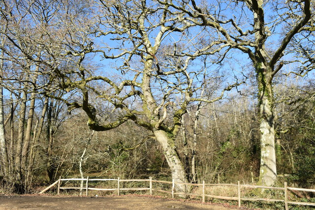
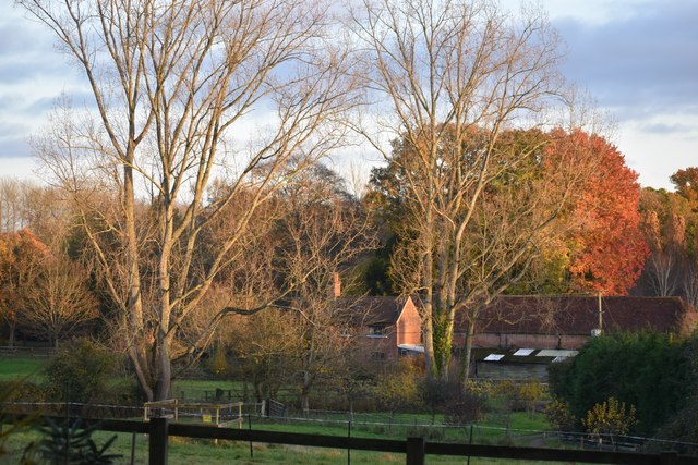
Thorn's Copse is a captivating woodland located in the county of Wiltshire, England. Situated near the village of Thorn, this enchanting forest covers an area of approximately 100 acres. It is a popular destination for nature lovers, hikers, and wildlife enthusiasts alike.
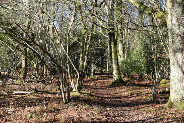
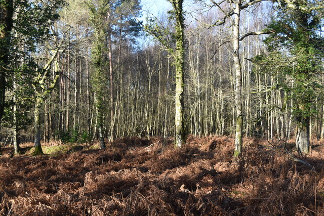
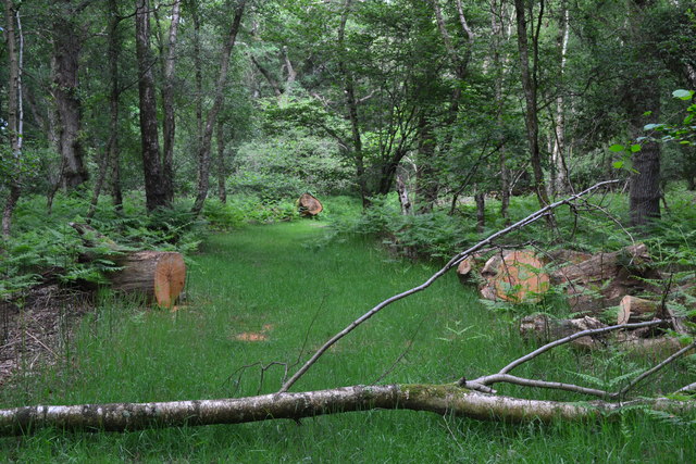
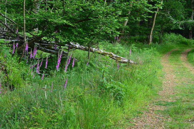
The copse is primarily composed of deciduous trees, including oak, beech, and ash, which create a rich and diverse canopy. The forest floor is adorned with a colorful array of wildflowers, such as bluebells, primroses, and wood anemones, adding to the copse's natural beauty.
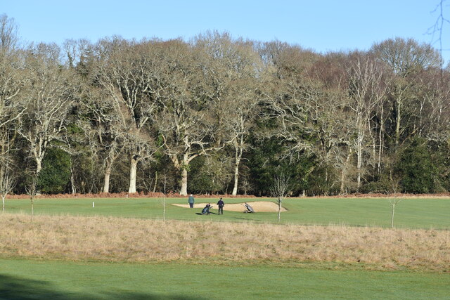
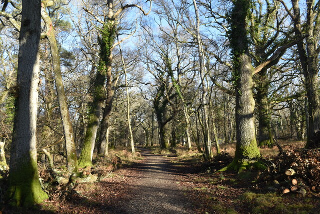
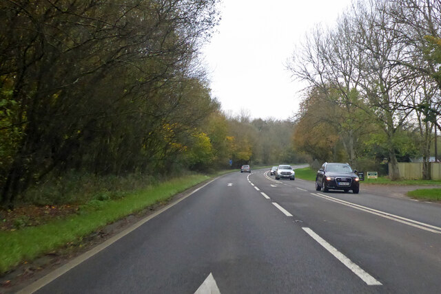
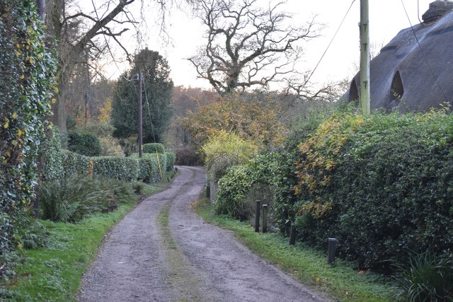
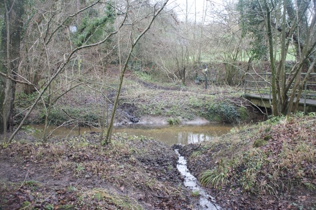
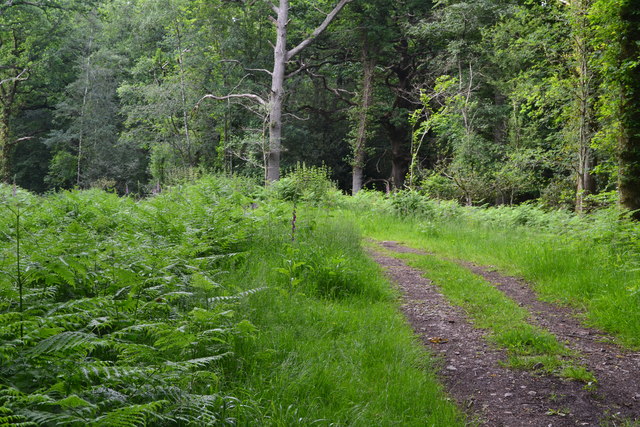
Traversing through Thorn's Copse, visitors will find a network of well-marked trails that wind their way around the woodland, providing ample opportunities for exploration. The paths meander through sun-dappled glades, over babbling brooks, and up gentle slopes, offering breathtaking views along the way.
The copse is home to a variety of wildlife, with numerous bird species, including woodpeckers, tawny owls, and song thrushes, filling the air with their melodic calls. Mammals such as deer, foxes, and badgers can also be spotted, especially during the early morning or evening hours.
Thorn's Copse is not only a haven for flora and fauna but also a place of historical significance. It is believed that the woodland has been in existence since medieval times and was once part of a larger forest that covered this part of Wiltshire. Remnants of old boundary walls and ditches can still be seen, serving as reminders of its past.
With its tranquil atmosphere, picturesque scenery, and abundant wildlife, Thorn's Copse is a must-visit destination for anyone seeking a peaceful retreat into nature's embrace.
If you have any feedback on the listing, please let us know in the comments section below.
Thorn's Copse Images
Images are sourced within 2km of 50.991986/-1.6714823 or Grid Reference SU2321. Thanks to Geograph Open Source API. All images are credited.


Thorn's Copse is located at Grid Ref: SU2321 (Lat: 50.991986, Lng: -1.6714823)
Unitary Authority: Wiltshire
Police Authority: Wiltshire
What 3 Words
///clocks.retailing.tank. Near Whiteparish, Wiltshire
Nearby Locations
Related Wikis

Langley Wood and Homan's Copse
Langley Wood and Homan's Copse (grid reference SU230206) is a 219.28 hectare biological Site of Special Scientific Interest in Wiltshire, notified in 1985...
Hamptworth
Hamptworth is a hamlet in Wiltshire, England, in the extreme southeast of the county. It is in the civil parish of Landford, and lies within the boundaries...

Loosehanger Copse and Meadows
Loosehanger Copse and Meadows (grid reference SU215195) is a 56.27 hectare biological Site of Special Scientific Interest in Wiltshire, England, notified...

Whiteparish
Whiteparish is a village and civil parish on the A27 about 7.5 miles (12.1 km) southeast of Salisbury in Wiltshire, England. The village is about 1.5...

Lover, Wiltshire
Lover (pronounced like Dover, ) is a small village in Wiltshire, England, close to the county border with Hampshire. It is part of the parish of Redlynch...
Redlynch, Wiltshire
Redlynch is a village and civil parish about 6.5 miles (10.5 km) southeast of Salisbury in Wiltshire, England. The parish includes the villages of Morgan...

Bohemia, Wiltshire
Bohemia is a hamlet in Wiltshire, England, in the parish of Redlynch. It lies about 1 mile (1.6 km) southeast of Redlynch and 7.5 miles (12 km) southeast...

Whiteparish Common
Whiteparish Common (grid reference SU255233) is a 64.5 hectare biological Site of Special Scientific Interest near Whiteparish, Wiltshire, England, notified...
Nearby Amenities
Located within 500m of 50.991986,-1.6714823Have you been to Thorn's Copse?
Leave your review of Thorn's Copse below (or comments, questions and feedback).