Camsden Copse
Wood, Forest in Oxfordshire West Oxfordshire
England
Camsden Copse

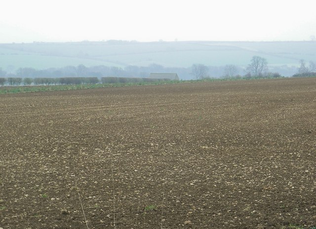
Camsden Copse is a picturesque wood located in the county of Oxfordshire, England. Stretching over an area of approximately 50 acres, this enchanting forest exudes a tranquil and serene ambiance, making it a popular destination for nature enthusiasts and hikers.
The copse is characterized by a diverse range of tree species, including oak, beech, and ash, which create a stunning canopy of foliage that changes with the seasons. The forest floor is adorned with a rich carpet of bluebells in spring, adding a splash of vibrant color to the landscape.
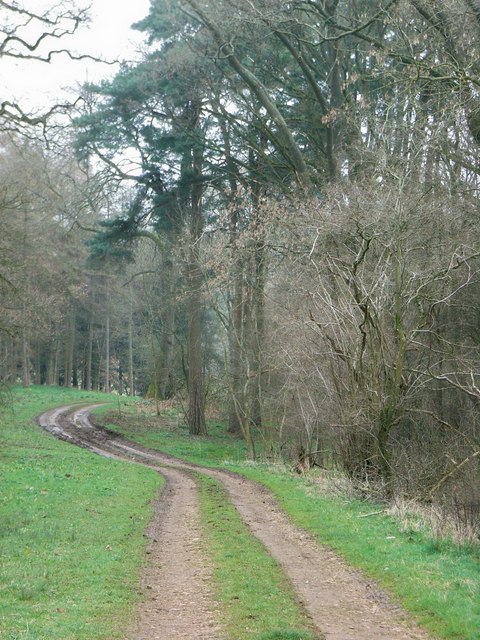
Numerous walking trails wind their way through Camsden Copse, allowing visitors to explore the natural beauty at their own pace. These paths provide opportunities to observe an array of wildlife, such as deer, rabbits, and various bird species, making it a haven for avid birdwatchers.
In addition to its natural beauty, Camsden Copse boasts historical significance. It is believed that the copse was once part of the ancient Wychwood Forest, which covered a large part of Oxfordshire. The presence of ancient earthworks and archaeological finds in the area further supports this belief.
The copse is easily accessible, with a car park located nearby, providing convenience for visitors. It is also a popular spot for picnics, offering a peaceful setting for families and friends to relax and enjoy the surrounding nature.
Camsden Copse is a hidden gem in Oxfordshire, offering a tranquil escape from the hustle and bustle of everyday life. Whether you are a nature lover, a history enthusiast, or simply seeking a peaceful retreat, this charming woodland is sure to captivate and inspire.
If you have any feedback on the listing, please let us know in the comments section below.
Camsden Copse Images
Images are sourced within 2km of 51.843808/-1.6651931 or Grid Reference SP2316. Thanks to Geograph Open Source API. All images are credited.


Camsden Copse is located at Grid Ref: SP2316 (Lat: 51.843808, Lng: -1.6651931)
Administrative County: Oxfordshire
District: West Oxfordshire
Police Authority: Thames Valley
What 3 Words
///opened.drones.catchers. Near Burford, Oxfordshire
Nearby Locations
Related Wikis

Taynton, Oxfordshire
Taynton is a village and civil parish about 1+1⁄2 miles (2.4 km) northwest of Burford in West Oxfordshire. The village is on Coombe Brook, a tributary...

Fifield, Oxfordshire
Fifield is a village and civil parish about 4 miles (6.4 km) north of Burford in Oxfordshire. The western boundary of the parish forms part of the county...

Bruern
Bruern or Bruern Abbey is a hamlet and civil parish on the River Evenlode about 6 miles (10 km) north of Burford in West Oxfordshire. The 2001 Census recorded...

RAF Little Rissington
Royal Air Force Little Rissington or more simply RAF Little Rissington (ICAO: EGVL) is an Royal Air Force satellite station in Gloucestershire, England...
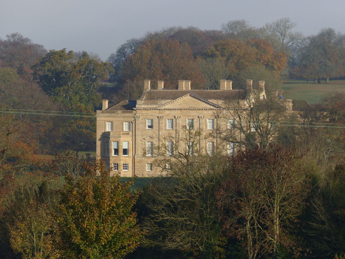
Barrington Park
Barrington Park is a Palladian style country house standing in an estate of the same name near the villages of Great Barrington and Little Barrington,...

Great Rissington
Great Rissington is a village in the Cotswold district of Gloucestershire, England. The population taken at the 2011 census was 367. == History == In the...

Church of St Peter, Little Barrington
The Anglican Church of St Peter at Little Barrington in the civil parish of Barrington in the Cotswold District of Gloucestershire, England was built in...

Upton, West Oxfordshire
Upton is a hamlet on the River Windrush about 1 mile (1.6 km) west of Burford in Oxfordshire, England. Until 1954 Upton was part of the civil parish of...
Have you been to Camsden Copse?
Leave your review of Camsden Copse below (or comments, questions and feedback).