Bruern
Civil Parish in Oxfordshire West Oxfordshire
England
Bruern
Bruern is a civil parish located in the county of Oxfordshire, England. Situated approximately 10 miles west of Oxford, it encompasses an area of about 3 square miles. The parish is predominantly rural, with a scattering of small settlements and farmland.
One of the notable features of Bruern is its picturesque countryside, characterized by rolling hills, meadows, and woodlands. The area is known for its natural beauty and is a popular destination for outdoor enthusiasts, offering opportunities for walking, cycling, and wildlife spotting.
The village of Bruern itself is a small, close-knit community with a population of around 200 residents. It is home to a number of historic buildings, including the Grade II listed Bruern Abbey, which dates back to the 12th century. The abbey has since been converted into private residences.
Despite its small size, Bruern has some amenities to serve its residents. These include a local pub, The Rose & Crown, which is housed in a charming 17th-century building. The pub serves as a social hub for the community and attracts visitors from surrounding areas.
In terms of transport, Bruern is easily accessible by road, with the A40 running nearby, providing connections to Oxford and other nearby towns and cities. The closest railway station is in Charlbury, approximately 4 miles away, offering services to London and other destinations.
Overall, Bruern offers a tranquil and idyllic setting for those seeking a rural lifestyle, while still being within close proximity to larger urban centers.
If you have any feedback on the listing, please let us know in the comments section below.
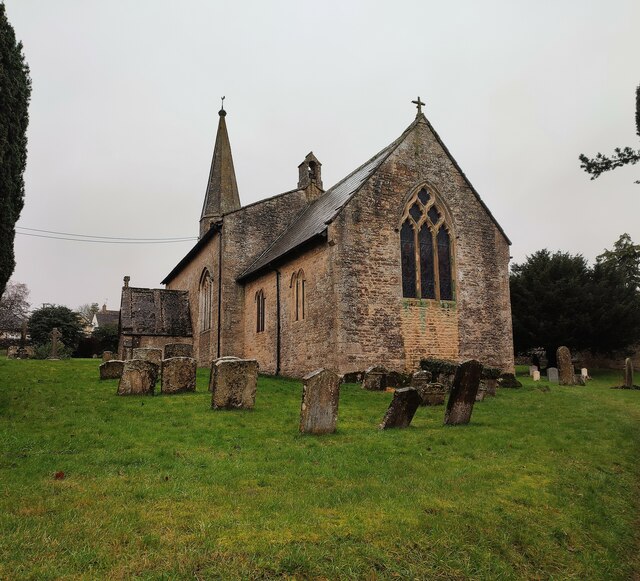
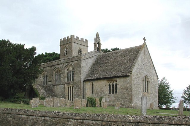
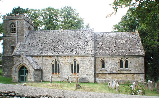
Bruern Images
Images are sourced within 2km of 51.850564/-1.662814 or Grid Reference SP2316. Thanks to Geograph Open Source API. All images are credited.


Bruern is located at Grid Ref: SP2316 (Lat: 51.850564, Lng: -1.662814)
Administrative County: Oxfordshire
District: West Oxfordshire
Police Authority: Thames Valley
What 3 Words
///writings.scorecard.protests. Near Shipton under Wychwood, Oxfordshire
Nearby Locations
Related Wikis

Fifield, Oxfordshire
Fifield is a village and civil parish about 4 miles (6.4 km) north of Burford in Oxfordshire. The western boundary of the parish forms part of the county...

Bruern
Bruern or Bruern Abbey is a hamlet and civil parish on the River Evenlode about 6 miles (10 km) north of Burford in West Oxfordshire. The 2001 Census recorded...

RAF Little Rissington
Royal Air Force Little Rissington or more simply RAF Little Rissington (ICAO: EGVL) is an Royal Air Force satellite station in Gloucestershire, England...

Taynton, Oxfordshire
Taynton is a village and civil parish about 1+1⁄2 miles (2.4 km) northwest of Burford in West Oxfordshire. The village is on Coombe Brook, a tributary...
Idbury
Idbury is a village and civil parish in the Cotswold Hills in Oxfordshire, about 4+1⁄2 miles (7 km) southeast of Stow-on-the-Wold in neighbouring Gloucestershire...
Westcote, Gloucestershire
Westcote is a civil parish in the Cotswold district, in the county of Gloucestershire, England. The village is about 4 miles (6 km) south-southeast of...

Great Rissington
Great Rissington is a village in the Cotswold district of Gloucestershire, England. The population taken at the 2011 census was 367. == History == In the...

Upper Rissington
Upper Rissington is a village and civil parish in the Cotswold district of Gloucestershire, England. It is located about two-and-a-half miles east of Bourton...
Have you been to Bruern?
Leave your review of Bruern below (or comments, questions and feedback).