New Brancepeth

Settlement in Durham

England

New Brancepeth

Morley Lane north of Morley Farm A narrow, minor road known as Morley Lane, lined with unkempt hedges.
Morley Lane north of Morley Farm Credit: Trevor Littlewood

New Brancepeth is a small village located in the county of Durham, England. Situated approximately 8 miles northwest of Durham city, it lies within the civil parish of Brandon and Byshottles. With a population of around 1,500 people, it offers a peaceful and close-knit community environment.

The village is known for its historical significance, with a rich mining heritage that dates back to the 19th century. Coal mining was a major industry in the area, and evidence of this can still be seen in the form of old colliery buildings and the surrounding landscape. However, the last mine closed in 1962, and the village has since transitioned to a more residential and agricultural focus.

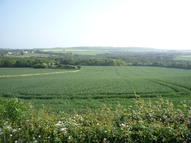
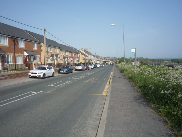
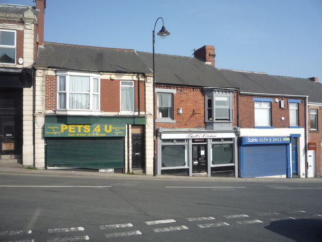
New Brancepeth is surrounded by picturesque countryside, offering residents and visitors the opportunity to enjoy scenic walks and outdoor activities. The village itself has a few local amenities, including a primary school, a community center, and a small number of shops and pubs.

Transport links to and from New Brancepeth are convenient, with regular bus services connecting the village to nearby towns and cities. The A690 road provides easy access to Durham and the wider region.

Overall, New Brancepeth offers a quiet and charming place to live or visit, with its rich history, beautiful surroundings, and friendly community atmosphere.

If you have any feedback on the listing, please let us know in the comments section below.

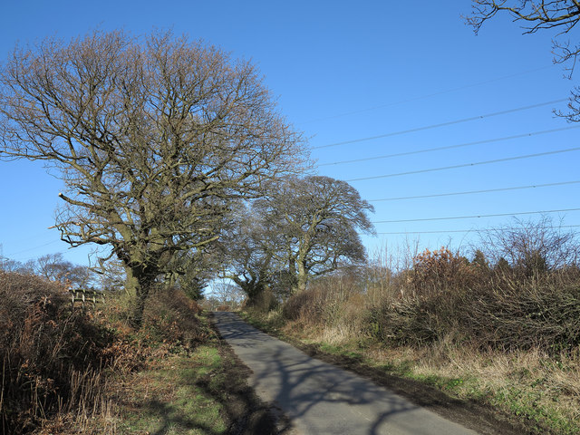
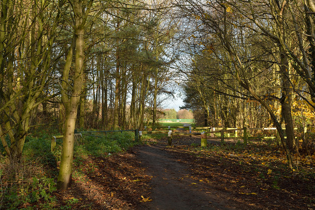
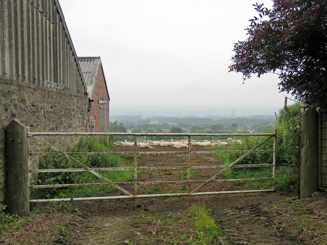
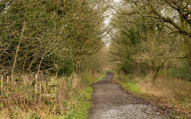
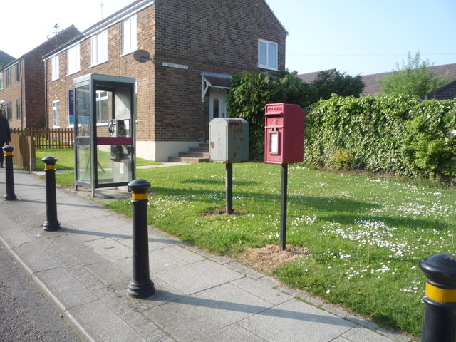
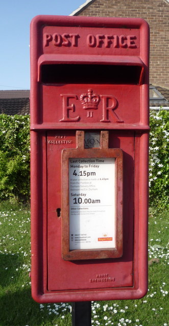
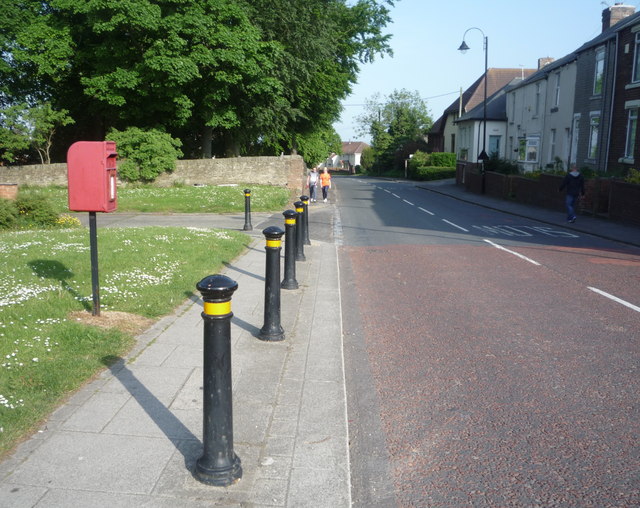
New Brancepeth Images

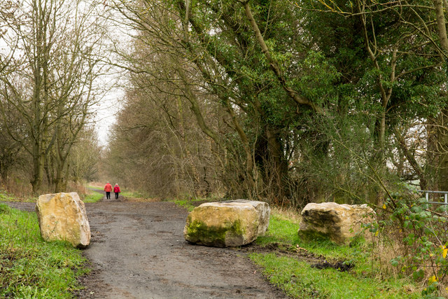
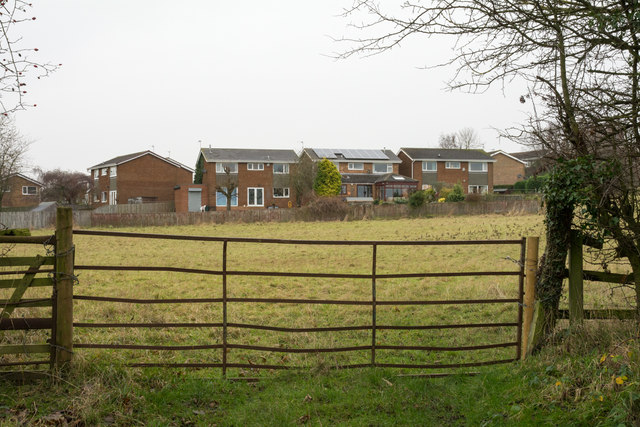
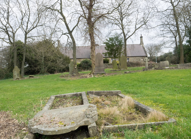
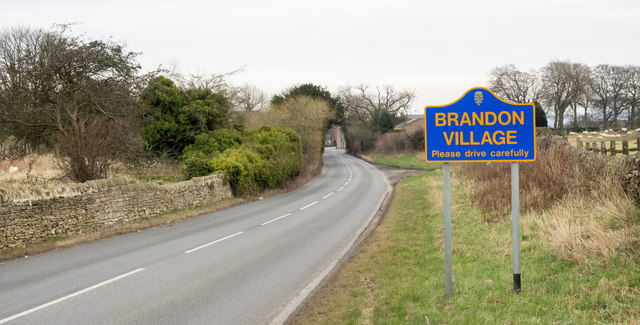
Images are sourced within 2km of 54.766573/-1.643732 or Grid Reference NZ2341. Thanks to Geograph Open Source API. All images are credited.

Morley Lane north of Morley Farm A narrow, minor road known as Morley Lane, lined with unkempt hedges.
Morley Lane north of Morley Farm
A narrow, minor road known as Morley Lane, lined with unkempt hedges.
Brandon - Bishop Auckland Railway Path The Brandon to Bishop Auckland Railway Path here is passing between Brandon and Meadowfield, heading north-east.
Brandon - Bishop Auckland Railway Path
The Brandon to Bishop Auckland Railway Path here is passing between Brandon and Meadowfield, heading north-east.
Brandon Village: sheep with a view Looking across the valley from Brandon Hall Farm. There was only a misty sort of view at 8.15 on this July morning and heavy rain arrived soon, persisting for most of the day in much of the North East.
Brandon Village: sheep with a view
Looking across the valley from Brandon Hall Farm. There was only a misty sort of view at 8.15 on this July morning and heavy rain arrived soon, persisting for most of the day in much of the North East.
Deerness Valley Walk below Broompark The Deerness Valley Railway Walk follows, as would be imagined, an old railway route, using its track bed. Much of the way, as at this location, passes through trees; those to the right in the image are of Cooke's West Wood.
Deerness Valley Walk below Broompark
The Deerness Valley Railway Walk follows, as would be imagined, an old railway route, using its track bed. Much of the way, as at this location, passes through trees; those to the right in the image are of Cooke's West Wood.
Boulders on Deerness Valley Railway Walk Immediately beyond the rocks a steep, rough road rises to the left reaching the B6302, Broom Lane, between Broompark and Ushaw Moor. They are surely in place to prevent vehicles descending to the railway path and then travelling along it in the direction of the camera!
Boulders on Deerness Valley Railway Walk
Immediately beyond the rocks a steep, rough road rises to the left reaching the B6302, Broom Lane, between Broompark and Ushaw Moor. They are surely in place to prevent vehicles descending to the railway path and then travelling along it in the direction of the camera!
Field beyond metal gate The field lies on the west side of a lane rising from the B6302 at the west end of the village of Broompark. The modern houses beyond the field maybe considered as being in Broompark or the neighbouring village of Ushaw Moor; they are closer to the former but the estate is more contiguous with the latter.
Field beyond metal gate
The field lies on the west side of a lane rising from the B6302 at the west end of the village of Broompark. The modern houses beyond the field maybe considered as being in Broompark or the neighbouring village of Ushaw Moor; they are closer to the former but the estate is more contiguous with the latter.
Cemetery at Brandon Village Brandon Village is part of the greater settlement of Brandon, lying at the north-western edge of it. The cemetery there is in a sorry state seeming to be all but abandoned. Its graves seem to be largely untended and the site is treated similarly. Perhaps the reason for neglect is public safety - the western end, behind the camera position is quite affected by subsidence, no doubt due to mining. There are notices there warning folk to keep out due to the perceived danger.
Cemetery at Brandon Village
Brandon Village is part of the greater settlement of Brandon, lying at the north-western edge of it. The cemetery there is in a sorry state seeming to be all but abandoned. Its graves seem to be largely untended and the site is treated similarly. Perhaps the reason for neglect is public safety - the western end, behind the camera position is quite affected by subsidence, no doubt due to mining. There are notices there warning folk to keep out due to the perceived danger.
Road sign on Pit Lane The blue and yellow road sign is in a style found commonly in County Durham to announce the arrival of travellers at a town or village. Pit Lane continues into the small settlement of Brandon Village which is considered separately - at least as far as road signage goes - from the larger, Brandon.
Road sign on Pit Lane
The blue and yellow road sign is in a style found commonly in County Durham to announce the arrival of travellers at a town or village. Pit Lane continues into the small settlement of Brandon Village which is considered separately - at least as far as road signage goes - from the larger, Brandon.
Elizabeth II postbox and phonebox on Auton Stile, Bearpark Postbox No. DH7 76.
Elizabeth II postbox and phonebox on Auton Stile, Bearpark
Postbox No. DH7 76.
Close up, Elizabeth II postbox on Auton Stile, Bearpark Postbox No. DH7 76.
Close up, Elizabeth II postbox on Auton Stile, Bearpark
Postbox No. DH7 76.
Auton Stile, Bearpark Looking south east showing position of Postbox No. DH7 76.
Auton Stile, Bearpark
Looking south east showing position of Postbox No. DH7 76.
Crop field near Ushaw Moor Off Cockhouse Lane.
Crop field near Ushaw Moor
Off Cockhouse Lane.
Entering Ushaw Moor Heading south east on Cockhouse Lane.
Entering Ushaw Moor
Heading south east on Cockhouse Lane.
St Luke's Church, Ushaw Moor
Bus stop on Cockhouse Lane, Ushaw Moor
Shops on Station Road, Ushaw Moor
The Flass Inn, Ushaw Moor
Sign for the Flass Inn, Ushaw Moor
Show me another place!

New Brancepeth is located at Grid Ref: NZ2341 (Lat: 54.766573, Lng: -1.643732)

Unitary Authority: County Durham

Police Authority: Durham

What 3 Words

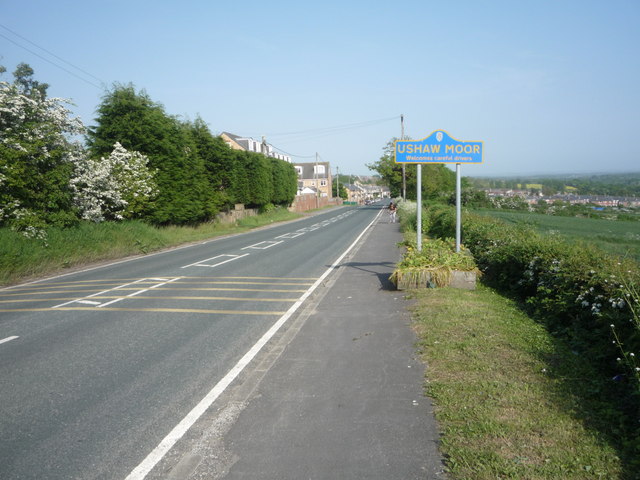
///racks.horses.conqueror. Near Ushaw Moor, Co. Durham

Related Wikis

New Brancepeth

New Brancepeth is a village in County Durham, in England. It is about 3 miles (5 km) west of the centre of Durham, above the River Deerness. Its population...

Brandon and Byshottles

Brandon and Byshottles is a civil parish and electoral ward in County Durham, England. According to the 2001 census it had a population of 17,774 increasing...

Ushaw Moor railway station

Ushaw Moor railway station, was a station on the Deerness Valley Railway, south of the village of Ushaw Moor in County Durham, was opened on 1 September...

Ushaw Moor

Ushaw Moor is an old pit village in County Durham, in England, on the north side of the River Deerness. It is situated to the west of Durham, a short distance...
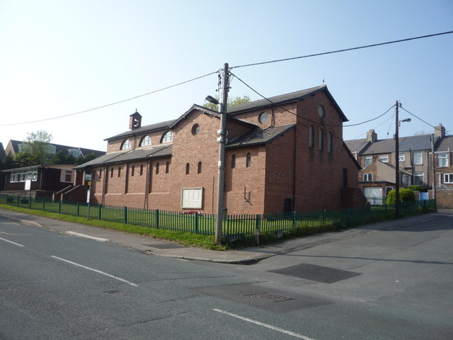
Nearby Amenities

Located within 500m of 54.766573,-1.643732
Turning Circle
Lat/Long: 54.7669996/-1.6484789
Traffic Calming: bump
Lat/Long: 54.7682503/-1.6489217
Post Box
Lat/Long: 54.7681371/-1.6465374
Post Box
Lat/Long: 54.7657333/-1.6513535
Bus Stop
Doric Road
Naptan AtcoCode: 13005915B
Naptan Bearing: NE
Naptan CommonName: Doric Road
Naptan Indicator: north east bound
Naptan Landmark: Outside No 114 Doric Road
Naptan NaptanCode: durdmjag
Naptan Street: Doric Road
Naptan Verified: no
Source: naptan_import
Lat/Long: 54.7677553/-1.647095
Bus Stop
Bus stop
Naptan AtcoCode: 13005933C
Naptan Bearing: E
Naptan CommonName: Bus stop
Naptan Indicator: east bound
Naptan Landmark: Outside No 67
Naptan NaptanCode: durdmjmw
Naptan Street: Braunspath Estate
Naptan Verified: no
Source: naptan_import
Lat/Long: 54.7679255/-1.643845
Bus Stop
Bolton Farm
Naptan AtcoCode: 13005937D
Naptan Bearing: SE
Naptan BusStopType: MKD
Naptan CommonName: Bolton Farm
Naptan Indicator: SE-bound
Naptan Landmark: Outside Eastern boudary of 14
Naptan NaptanCode: durdmjpw
Naptan RevisionNumber: 6
Naptan Street: Alum Waters
Naptan Verified: no
Old Name: Bus stop
Source: naptan_import
Lat/Long: 54.7679046/-1.637882
Bus Stop
Bolton Farm
Naptan AtcoCode: 13005937H
Naptan Bearing: NW
Naptan BusStopType: MKD
Naptan CommonName: Bolton Farm
Naptan Indicator: NW-bound
Naptan Landmark: Western edge of Farm Building
Naptan NaptanCode: durdmjta
Naptan RevisionNumber: 7
Naptan Street: Waltons Terrace
Naptan Verified: no
Old Name: Bus stop
Source: naptan_import
Lat/Long: 54.7677451/-1.6375361
Bus Stop
Braunespath Cottage
Naptan AtcoCode: 13005938G
Naptan Bearing: W
Naptan CommonName: Braunespath Cottage
Naptan Indicator: west bound
Naptan Landmark: Outside Braunspath Cottage
Naptan NaptanCode: durdmjtd
Naptan Street: Waltons Terrace
Naptan Verified: yes
Shelter: yes
Source: naptan_import; survey
Lat/Long: 54.7683884/-1.6458686
Bus Stop
Doric Road-Walton's Terrace
Naptan AtcoCode: 13005939B
Naptan Bearing: NE
Naptan CommonName: Doric Road-Walton's Terrace
Naptan Indicator: north east bound
Naptan Landmark: Outside No 2
Naptan NaptanCode: durdmjtg
Naptan Street: Doric Road
Naptan Verified: yes
Shelter: yes
Source: naptan_import; survey
Lat/Long: 54.7683333/-1.6466216
Bus Stop
Pringle Place
Naptan AtcoCode: 13005940C
Naptan Bearing: E
Naptan CommonName: Pringle Place
Naptan Indicator: east bound
Naptan Landmark: Outside No 37
Naptan NaptanCode: durdmjtj
Naptan Street: Pringle Place
Naptan Verified: yes
Source: naptan_import; survey
Lat/Long: 54.7666411/-1.6498025
Bus Stop
Pringle Place
Naptan AtcoCode: 13005940G
Naptan Bearing: W
Naptan CommonName: Pringle Place
Naptan Indicator: west bound
Naptan Landmark: Outside Nos 47 and 48
Naptan NaptanCode: durdmjtm
Naptan Street: Pringle Place
Naptan Verified: no
Source: naptan_import
Lat/Long: 54.766525/-1.6503538
Alum Waters
Place: hamlet
Wikidata: Q104852242
Lat/Long: 54.7679004/-1.6375037
Barrier: block
Bicycle: yes
Foot: yes
Horse: yes
Motorcar: no
Note: Formally a BOAT, but this block makes the lane impassable for double-tracked vehicles
Lat/Long: 54.7682692/-1.6407716
Barrier: stile
Lat/Long: 54.7680695/-1.6387441
Information: guidepost
Tourism: information
Lat/Long: 54.768047/-1.6387358
Barrier: stile
Lat/Long: 54.7662636/-1.6409912
Barrier: stile
Fixme: Primarily gate?
Lat/Long: 54.7641932/-1.6414327
Barrier: stile
Lat/Long: 54.7632407/-1.641023
Traffic Calming: bump
Lat/Long: 54.7672421/-1.647431
Traffic Calming: bump
Lat/Long: 54.7664625/-1.6485178
Traffic Calming: bump
Lat/Long: 54.7665538/-1.6495961
Traffic Calming: bump
Lat/Long: 54.7677298/-1.6481582
Power: pole
Transformer: distribution
Lat/Long: 54.7674876/-1.6372566
Power: pole
Lat/Long: 54.7666273/-1.6382758
Power: pole
Lat/Long: 54.7657801/-1.6392951
Power: pole
Lat/Long: 54.7649754/-1.6402566
Power: pole
Lat/Long: 54.764091/-1.6413215
Power: pole
Lat/Long: 54.765551/-1.649124
Power: pole
Lat/Long: 54.7654938/-1.6479921
Power: pole
Lat/Long: 54.7654358/-1.6468978
Power: pole
Lat/Long: 54.7660687/-1.6473833
Power: pole
Lat/Long: 54.7654358/-1.6468562
Power: pole
Lat/Long: 54.7649932/-1.6458504
Power: pole
Lat/Long: 54.7644864/-1.6447091
Power: pole
Lat/Long: 54.7639974/-1.6436081
Power: pole
Lat/Long: 54.7635231/-1.6427605
Power: pole
Lat/Long: 54.7628925/-1.6416326
Generator Method: photovoltaic
Generator Output Electricity: yes
Generator Source: solar
Generator Type: solar_photovoltaic_panel
Location: roof
Power: generator
Lat/Long: 54.7671162/-1.6435289
Generator Method: photovoltaic
Generator Output Electricity: yes
Generator Source: solar
Generator Type: solar_photovoltaic_panel
Location: roof
Power: generator
Lat/Long: 54.7671425/-1.6441029
Generator Method: photovoltaic
Generator Output Electricity: yes
Generator Source: solar
Generator Type: solar_photovoltaic_panel
Location: roof
Power: generator
Lat/Long: 54.7671797/-1.6445294
Generator Method: photovoltaic
Generator Output Electricity: yes
Generator Source: solar
Generator Type: solar_photovoltaic_panel
Location: roof
Power: generator
Lat/Long: 54.7680787/-1.64487
New Brancepeth War Memorial
Historic: memorial
Memorial: war_memorial
Wikidata: Q66478129
Lat/Long: 54.769426/-1.6494553
Parking
Lat/Long: 54.769496/-1.6493748
Scouthouse Farm
Addr City: Durham
Addr Postcode: DH7 7ES
Addr Village: New Brancepeth
Place: farm
Source Name: OS_OpenData_StreetView
Source Postcode: CodePoint Open
Lat/Long: 54.7691417/-1.6469568
Traffic Calming: bump
Lat/Long: 54.7683796/-1.646462
La Fattoria
Addr City: Durham
Addr Postcode: DH7 7JJ
Addr Suburb: New Brancepeth
Fhrs Id: 1604405
Guest House: bed_and_breakfast
Rooms: 3
Tourism: guest_house
Website: https://lafattoria.co.uk/accommodation/
Lat/Long: 54.7677998/-1.6403619
The data included in this document is from www.openstreetmap.org. The data is made available under ODbL.

Have you been to New Brancepeth?

Leave your review of New Brancepeth below (or comments, questions and feedback).