Alum Waters

Settlement in Durham

England

Alum Waters

Brandon to Bishop Auckland Railway Path This is part of National Cycle Network route 70.
Brandon to Bishop Auckland Railway Path Credit: Clive Nicholson

Alum Waters is a small village located in County Durham, England. Situated near the city of Durham, it lies on the eastern bank of the River Wear. The village is known for its picturesque setting and tranquil atmosphere, making it a popular destination for both locals and tourists.

The name "Alum Waters" refers to the natural springs that were once found in the area. These springs were known for their high concentration of alum, a mineral used in various industrial processes. However, the springs have since dried up, and the village's connection to the alum industry has faded into history.

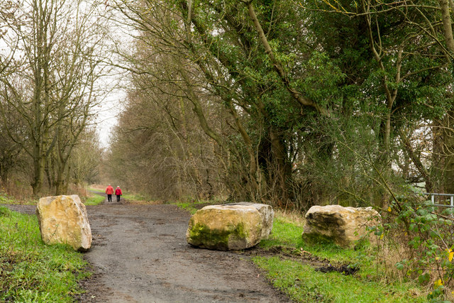
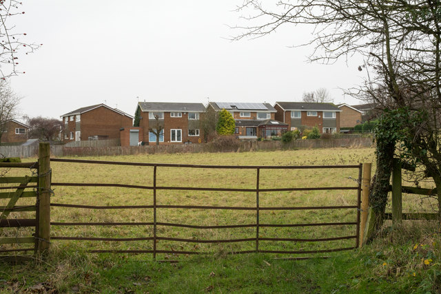
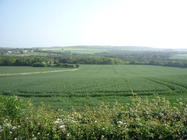
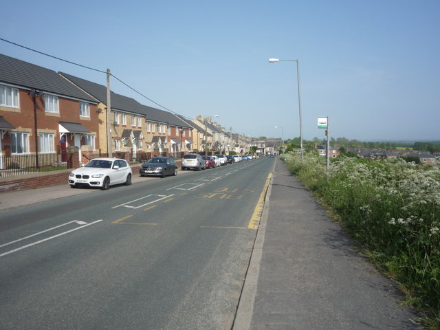
Today, Alum Waters is primarily a residential area, featuring a mix of modern houses and historic buildings. The village is surrounded by stunning countryside, with rolling hills and lush green fields providing a peaceful backdrop. Many visitors are drawn to the area for its scenic beauty and the opportunity to explore the nearby countryside through walking trails and hiking routes.

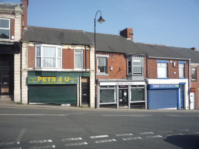
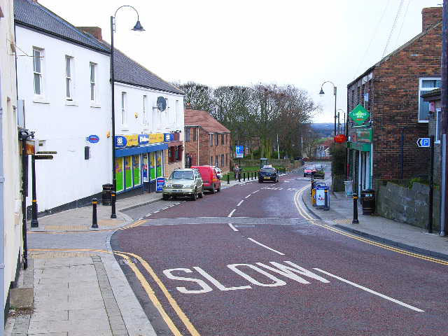
Despite its small size, Alum Waters is conveniently located near several amenities. The city of Durham is just a short drive away, offering a wide range of shopping, dining, and entertainment options. Additionally, the village is well-connected by road and public transport, making it easily accessible for those wishing to explore the wider region.

In summary, Alum Waters is a charming village in County Durham, known for its picturesque setting and peaceful ambiance. With its proximity to Durham and its stunning natural surroundings, it offers a delightful escape for visitors seeking tranquility and natural beauty.

If you have any feedback on the listing, please let us know in the comments section below.
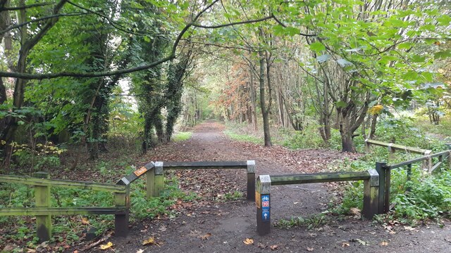
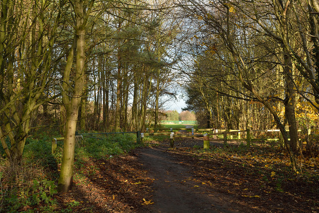
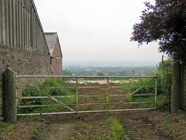
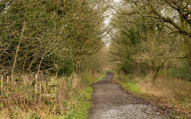
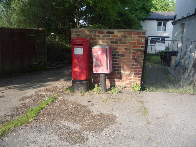
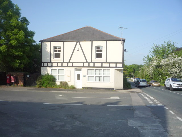
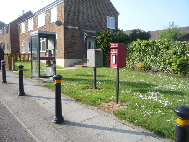
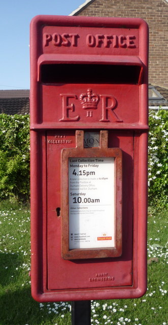
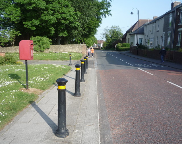
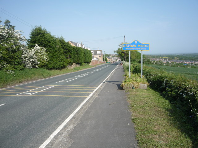
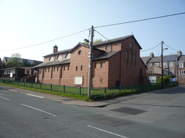
Alum Waters Images

Images are sourced within 2km of 54.767523/-1.6366464 or Grid Reference NZ2341. Thanks to Geograph Open Source API. All images are credited.

Brandon to Bishop Auckland Railway Path This is part of National Cycle Network route 70.
Brandon to Bishop Auckland Railway Path
This is part of National Cycle Network route 70.
Brandon - Bishop Auckland Railway Path The Brandon to Bishop Auckland Railway Path here is passing between Brandon and Meadowfield, heading north-east.
Brandon - Bishop Auckland Railway Path
The Brandon to Bishop Auckland Railway Path here is passing between Brandon and Meadowfield, heading north-east.
Brandon Village: sheep with a view Looking across the valley from Brandon Hall Farm. There was only a misty sort of view at 8.15 on this July morning and heavy rain arrived soon, persisting for most of the day in much of the North East.
Brandon Village: sheep with a view
Looking across the valley from Brandon Hall Farm. There was only a misty sort of view at 8.15 on this July morning and heavy rain arrived soon, persisting for most of the day in much of the North East.
Deerness Valley Walk below Broompark The Deerness Valley Railway Walk follows, as would be imagined, an old railway route, using its track bed. Much of the way, as at this location, passes through trees; those to the right in the image are of Cooke's West Wood.
Deerness Valley Walk below Broompark
The Deerness Valley Railway Walk follows, as would be imagined, an old railway route, using its track bed. Much of the way, as at this location, passes through trees; those to the right in the image are of Cooke's West Wood.
Boulders on Deerness Valley Railway Walk Immediately beyond the rocks a steep, rough road rises to the left reaching the B6302, Broom Lane, between Broompark and Ushaw Moor. They are surely in place to prevent vehicles descending to the railway path and then travelling along it in the direction of the camera!
Boulders on Deerness Valley Railway Walk
Immediately beyond the rocks a steep, rough road rises to the left reaching the B6302, Broom Lane, between Broompark and Ushaw Moor. They are surely in place to prevent vehicles descending to the railway path and then travelling along it in the direction of the camera!
Field beyond metal gate The field lies on the west side of a lane rising from the B6302 at the west end of the village of Broompark. The modern houses beyond the field maybe considered as being in Broompark or the neighbouring village of Ushaw Moor; they are closer to the former but the estate is more contiguous with the latter.
Field beyond metal gate
The field lies on the west side of a lane rising from the B6302 at the west end of the village of Broompark. The modern houses beyond the field maybe considered as being in Broompark or the neighbouring village of Ushaw Moor; they are closer to the former but the estate is more contiguous with the latter.
Cemetery at Brandon Village Brandon Village is part of the greater settlement of Brandon, lying at the north-western edge of it. The cemetery there is in a sorry state seeming to be all but abandoned. Its graves seem to be largely untended and the site is treated similarly. Perhaps the reason for neglect is public safety - the western end, behind the camera position is quite affected by subsidence, no doubt due to mining. There are notices there warning folk to keep out due to the perceived danger.
Cemetery at Brandon Village
Brandon Village is part of the greater settlement of Brandon, lying at the north-western edge of it. The cemetery there is in a sorry state seeming to be all but abandoned. Its graves seem to be largely untended and the site is treated similarly. Perhaps the reason for neglect is public safety - the western end, behind the camera position is quite affected by subsidence, no doubt due to mining. There are notices there warning folk to keep out due to the perceived danger.
Road sign on Pit Lane The blue and yellow road sign is in a style found commonly in County Durham to announce the arrival of travellers at a town or village. Pit Lane continues into the small settlement of Brandon Village which is considered separately - at least as far as road signage goes - from the larger, Brandon.
Road sign on Pit Lane
The blue and yellow road sign is in a style found commonly in County Durham to announce the arrival of travellers at a town or village. Pit Lane continues into the small settlement of Brandon Village which is considered separately - at least as far as road signage goes - from the larger, Brandon.
Elizabeth II postbox, Bearpark Postbox No. DH7 42.

See <a href="https://www.geograph.org.uk/photo/4985185">NZ2443 : Aldin Grange, Bearpark</a> for context.
Elizabeth II postbox, Bearpark
Postbox No. DH7 42. See NZ2443 : Aldin Grange, Bearpark for context.
Aldin Grange, Bearpark Showing position of Postbox No. DH7 42.

See <a href="https://www.geograph.org.uk/photo/4985182">NZ2443 : Elizabeth II postbox, Bearpark</a> for postbox.
Aldin Grange, Bearpark
Showing position of Postbox No. DH7 42. See NZ2443 : Elizabeth II postbox, Bearpark for postbox.
Elizabeth II postbox and phonebox on Auton Stile, Bearpark Postbox No. DH7 76.
Elizabeth II postbox and phonebox on Auton Stile, Bearpark
Postbox No. DH7 76.
Close up, Elizabeth II postbox on Auton Stile, Bearpark Postbox No. DH7 76.
Close up, Elizabeth II postbox on Auton Stile, Bearpark
Postbox No. DH7 76.
Auton Stile, Bearpark Looking south east showing position of Postbox No. DH7 76.
Auton Stile, Bearpark
Looking south east showing position of Postbox No. DH7 76.
Crop field near Ushaw Moor Off Cockhouse Lane.
Crop field near Ushaw Moor
Off Cockhouse Lane.
Entering Ushaw Moor Heading south east on Cockhouse Lane.
Entering Ushaw Moor
Heading south east on Cockhouse Lane.
St Luke's Church, Ushaw Moor
Bus stop on Cockhouse Lane, Ushaw Moor
Shops on Station Road, Ushaw Moor
Show me another place!

Alum Waters is located at Grid Ref: NZ2341 (Lat: 54.767523, Lng: -1.6366464)

Unitary Authority: County Durham

Police Authority: Durham

What 3 Words

///receiving.reminds.flooding. Near Ushaw Moor, Co. Durham

Related Wikis

New Brancepeth

New Brancepeth is a village in County Durham, in England. It is about 3 miles (5 km) west of the centre of Durham, above the River Deerness. Its population...

Broompark

Broompark is a village in County Durham, England. It is situated some 3 miles (4.8 km) west of Durham city. It was once the site of the Broompark colliery...

Ushaw Moor railway station

Ushaw Moor railway station, was a station on the Deerness Valley Railway, south of the village of Ushaw Moor in County Durham, was opened on 1 September...

Brandon and Byshottles

Brandon and Byshottles is a civil parish and electoral ward in County Durham, England. According to the 2001 census it had a population of 17,774 increasing...

Ushaw Moor

Ushaw Moor is an old pit village in County Durham, in England, on the north side of the River Deerness. It is situated to the west of Durham, a short distance...

Brandon United F.C.

Brandon United Football Club is a football club based in Brandon, County Durham, England. They are currently members of the Northern League Division Two...

Durham Academy, Ushaw Moor

Durham Academy (formerly Durham Community Business College) is a coeducational secondary school located in Ushaw Moor, County Durham, England.The school...

Bearpark

Bearpark is a village and civil parish in County Durham in England. It is situated two and a half miles west of Durham, and a short distance to the north...

Related Videos

Lanchester - Tees Valley Way - Ushaw College loop with Interesting Walks NE (9.3 miles)

Starting in the Malton picnic area carpark (free - just off the A691) we followed part of the Tees Valley Way as far as Langley Park, ...

County Durham Running and Walking Routes: Deerness Valley Way 8.5 miles Broompark to Crook

A easy walk in terms of underfoot, elevation and navigation. Start at Broompark in County Durham DH7 7RW, then follow the old ...

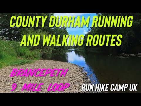
County Durham Running and Walking Routes: Brancepeth 9 miles inc Weardale Way and Railway Lines

Hike from the 100 Walks in Count Durham book by Gary Richardson. Perfect for a sunny Sunday afternoon. The Weardale Way is ...

Nearby Amenities

Located within 500m of 54.767523,-1.6366464
Bus Stop
Bus stop
Naptan AtcoCode: 13005933C
Naptan Bearing: E
Naptan CommonName: Bus stop
Naptan Indicator: east bound
Naptan Landmark: Outside No 67
Naptan NaptanCode: durdmjmw
Naptan Street: Braunspath Estate
Naptan Verified: no
Source: naptan_import
Lat/Long: 54.7679255/-1.643845
Bus Stop
Primrose Farm
Fixme: Confirm no physical marker, as customer request stop
Naptan AtcoCode: 13005936D
Naptan Bearing: SE
Naptan BusStopType: CUS
Naptan CommonName: Primrose Farm
Naptan Indicator: south east bound
Naptan Landmark: adjacent to Primrose Farm
Naptan NaptanCode: durdmjpm
Naptan Street: Unclassified road
Naptan Verified: no
Source: naptan_import
Lat/Long: 54.7655066/-1.6313081
Bus Stop
Primrose Farm
Fixme: Confirm no physical marker, as customer request stop
Naptan AtcoCode: 13005936H
Naptan Bearing: NW
Naptan BusStopType: CUS
Naptan CommonName: Primrose Farm
Naptan Indicator: north west bound
Naptan Landmark: opp Primrose Farm
Naptan NaptanCode: durdmjpt
Naptan Street: Unclassified road
Naptan Verified: no
Source: naptan_import
Lat/Long: 54.7654802/-1.6314949
Bus Stop
Bolton Farm
Naptan AtcoCode: 13005937D
Naptan Bearing: SE
Naptan BusStopType: MKD
Naptan CommonName: Bolton Farm
Naptan Indicator: SE-bound
Naptan Landmark: Outside Eastern boudary of 14
Naptan NaptanCode: durdmjpw
Naptan RevisionNumber: 6
Naptan Street: Alum Waters
Naptan Verified: no
Old Name: Bus stop
Source: naptan_import
Lat/Long: 54.7679046/-1.637882
Bus Stop
Bolton Farm
Naptan AtcoCode: 13005937H
Naptan Bearing: NW
Naptan BusStopType: MKD
Naptan CommonName: Bolton Farm
Naptan Indicator: NW-bound
Naptan Landmark: Western edge of Farm Building
Naptan NaptanCode: durdmjta
Naptan RevisionNumber: 7
Naptan Street: Waltons Terrace
Naptan Verified: no
Old Name: Bus stop
Source: naptan_import
Lat/Long: 54.7677451/-1.6375361
Alum Waters
Place: hamlet
Wikidata: Q104852242
Lat/Long: 54.7679004/-1.6375037
Barrier: kissing_gate
Lat/Long: 54.7659369/-1.6313224
Barrier: stile
Foot: yes
Lat/Long: 54.767642/-1.6296137
Barrier: stile
Lat/Long: 54.7678685/-1.6292932
Barrier: stile
Stile: stepover
Lat/Long: 54.7679395/-1.6291167
Barrier: block
Bicycle: yes
Foot: yes
Horse: yes
Motorcar: no
Note: Formally a BOAT, but this block makes the lane impassable for double-tracked vehicles
Lat/Long: 54.7682692/-1.6407716
Barrier: stile
Foot: yes
Lat/Long: 54.7710173/-1.6373531
Barrier: stile
Foot: yes
Lat/Long: 54.7717372/-1.6358488
Barrier: stile
Lat/Long: 54.7680695/-1.6387441
Information: guidepost
Tourism: information
Lat/Long: 54.7663998/-1.6313819
Information: guidepost
Tourism: information
Lat/Long: 54.771017/-1.6364425
Information: guidepost
Tourism: information
Lat/Long: 54.7697993/-1.6380197
Information: guidepost
Tourism: information
Lat/Long: 54.768047/-1.6387358
Information: guidepost
Tourism: information
Lat/Long: 54.765517/-1.6313356
Information: guidepost
Tourism: information
Lat/Long: 54.7654288/-1.6313651
Barrier: stile
Note: Also gate for track
Lat/Long: 54.7654055/-1.6313437
Barrier: stile
Lat/Long: 54.7662636/-1.6409912
Barrier: stile
Fixme: Primarily gate?
Lat/Long: 54.7641932/-1.6414327
Busy Bee Studio
Shop: interior_decoration
Website: https://busybeestudio.co.uk/
Lat/Long: 54.7688338/-1.6309279
Bleach Green Farm
Place: farm
Source Name: OS_OpenData_StreetView
Lat/Long: 54.7689173/-1.6308448
Power: pole
Transformer: distribution
Lat/Long: 54.7674876/-1.6372566
Power: pole
Lat/Long: 54.7666273/-1.6382758
Power: pole
Lat/Long: 54.7657801/-1.6392951
Power: pole
Lat/Long: 54.7649754/-1.6402566
Power: pole
Lat/Long: 54.764091/-1.6413215
Generator Method: photovoltaic
Generator Output Electricity: yes
Generator Source: solar
Generator Type: solar_photovoltaic_panel
Location: roof
Power: generator
Lat/Long: 54.7671162/-1.6435289
Generator Method: photovoltaic
Generator Output Electricity: yes
Generator Source: solar
Generator Type: solar_photovoltaic_panel
Location: roof
Power: generator
Lat/Long: 54.7671425/-1.6441029
Grit Bin
Lat/Long: 54.7672199/-1.635945
La Fattoria
Addr City: Durham
Addr Postcode: DH7 7JJ
Addr Suburb: New Brancepeth
Fhrs Id: 1604405
Guest House: bed_and_breakfast
Rooms: 3
Tourism: guest_house
Website: https://lafattoria.co.uk/accommodation/
Lat/Long: 54.7677998/-1.6403619
Sleetburn Mill
Archaeological Site: industrial
Historic: archaeological_site
Historic Image: https://catalogue.millsarchive.org/view-from-raised-vantage-point-sleet-burn-mill-brancepeth
Note: image reflects later usage (Sleetburn Mill Farm)
Source: Historic OS mapping
Website: https://new.millsarchive.org/mills/index/?which=10304
Lat/Long: 54.7703393/-1.6380411
The data included in this document is from www.openstreetmap.org. The data is made available under ODbL.

Have you been to Alum Waters?

Leave your review of Alum Waters below (or comments, questions and feedback).