Alverstone Garden Village
Settlement in Hampshire
England
Alverstone Garden Village
Alverstone Garden Village is a charming and picturesque village located in the county of Hampshire, England. Nestled on the eastern side of the Isle of Wight, this village offers a serene and idyllic setting for residents and visitors alike.
Surrounded by lush greenery and rolling hills, Alverstone Garden Village is renowned for its natural beauty and scenic landscapes. The village is characterized by its traditional architecture, with quaint cottages and historic buildings that add to its charm.
The heart of the village is its village green, a central gathering place for residents to socialize and enjoy outdoor activities. The green is beautifully maintained and often hosts community events and festivals throughout the year.
Alverstone Garden Village benefits from its proximity to the River Yar, which winds its way through the countryside, providing stunning views and opportunities for leisurely walks and cycling. The village is also home to a number of nature reserves, including Alverstone Mead, which offers a haven for wildlife enthusiasts and bird watchers.
Despite its rural setting, Alverstone Garden Village is conveniently located close to amenities and facilities. Nearby towns and villages provide a range of shops, restaurants, and services, ensuring residents have access to everything they need.
Overall, Alverstone Garden Village is a tranquil and picturesque village that offers a high quality of life for its residents. Its natural beauty and close-knit community make it a sought-after destination for those looking to enjoy a peaceful and scenic lifestyle in Hampshire.
If you have any feedback on the listing, please let us know in the comments section below.
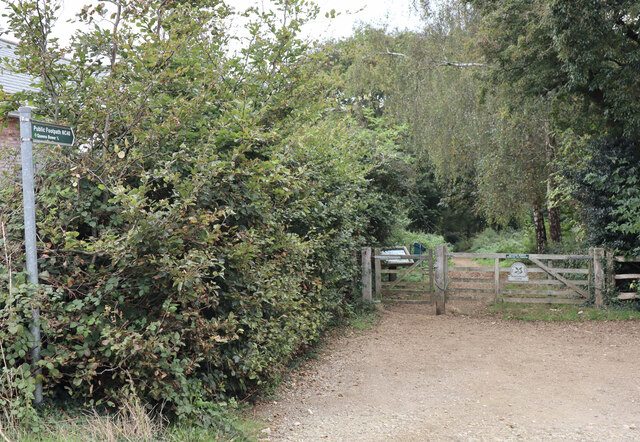
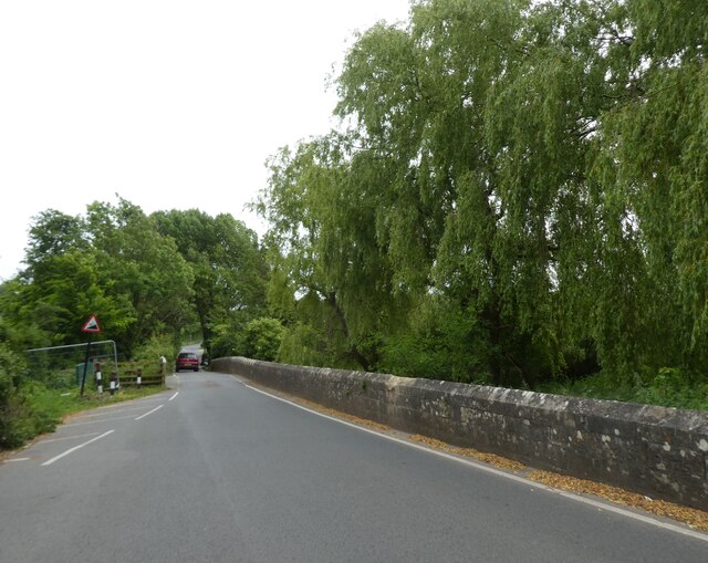
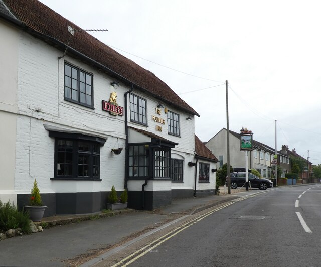
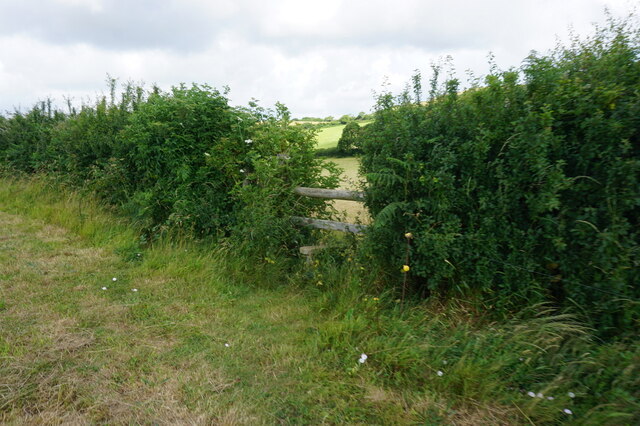
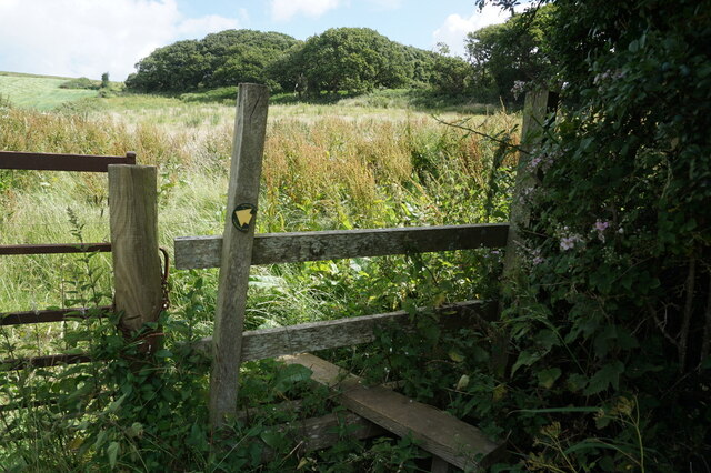
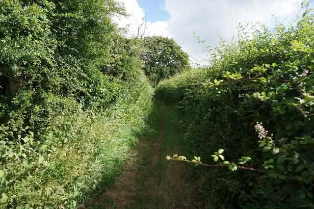
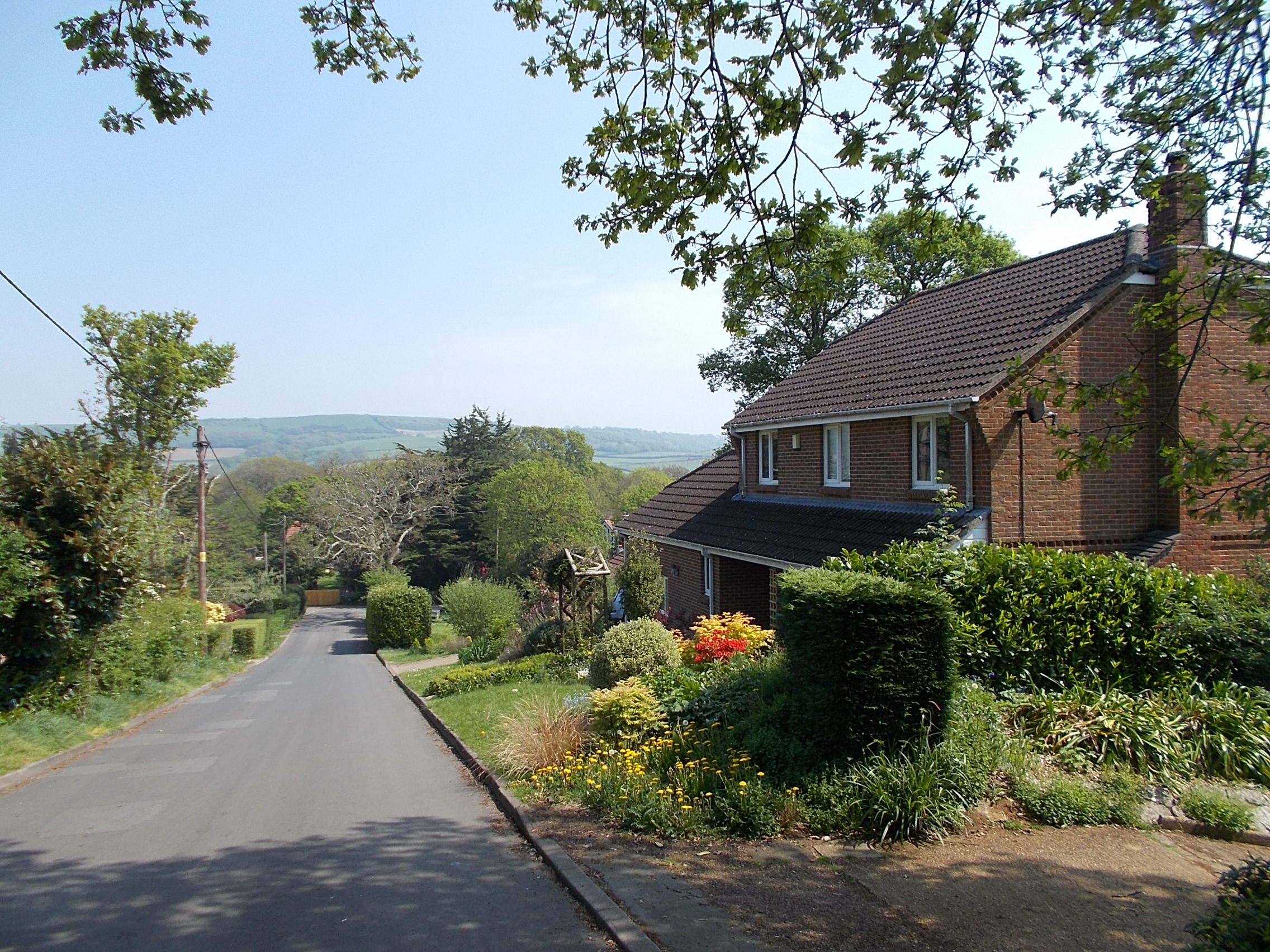
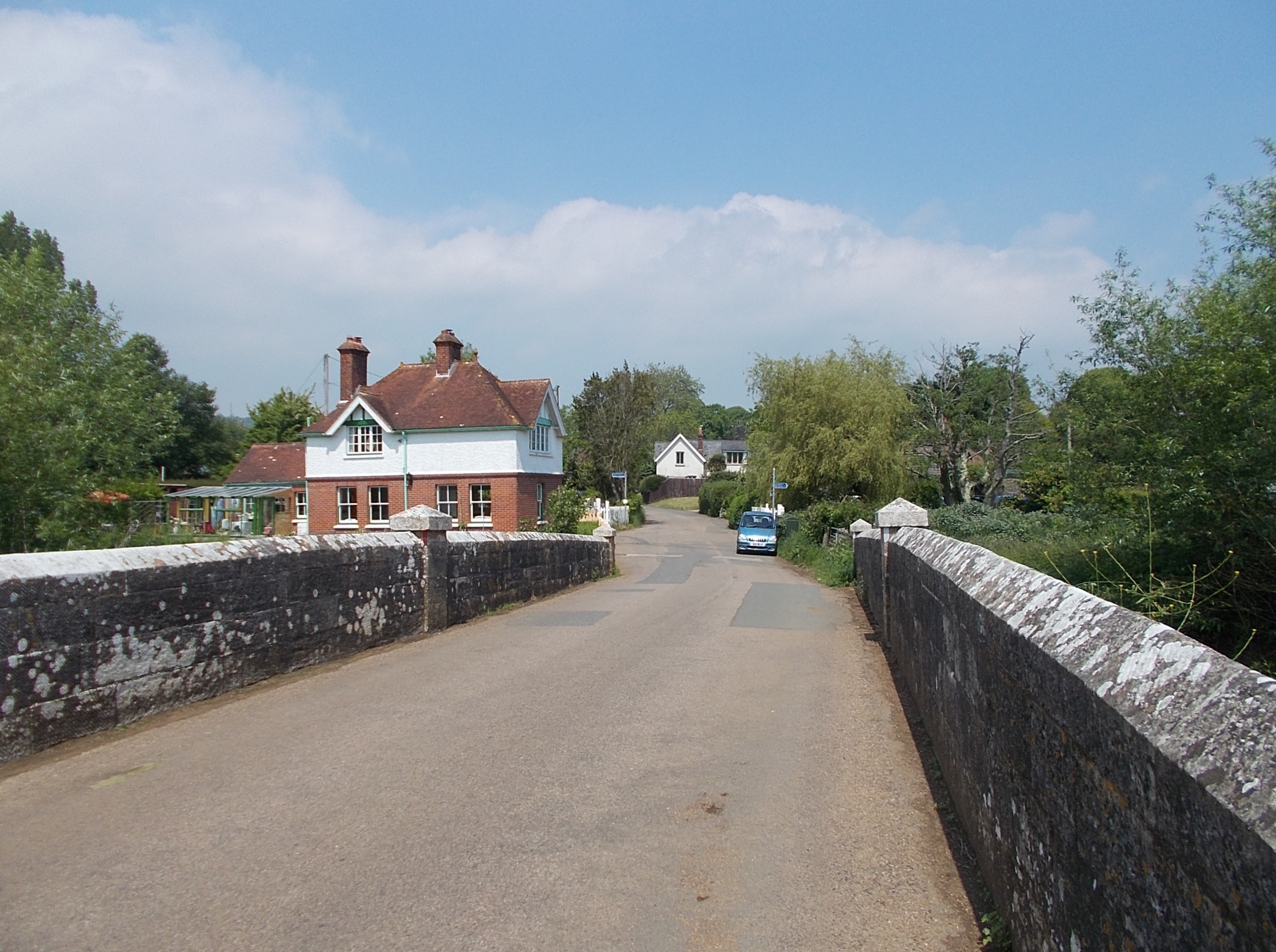
Alverstone Garden Village Images
Images are sourced within 2km of 50.665259/-1.1914993 or Grid Reference SZ5785. Thanks to Geograph Open Source API. All images are credited.


Alverstone Garden Village is located at Grid Ref: SZ5785 (Lat: 50.665259, Lng: -1.1914993)
Unitary Authority: Isle of Wight
Police Authority: Hampshire
What 3 Words
///thrilled.gong.cheerily. Near Newchurch, Isle of Wight
Nearby Locations
Related Wikis
Alverstone Garden Village
Alverstone Garden Village is a housing estate built between the 1930s and the 1970s; entirely contained within Youngwoods Copse, and thus almost invisible...

Alverstone Marshes
Alverstone Marshes (grid reference SZ572859) is an 83.8 hectare biological Site of Special Scientific Interest on the Isle of Wight, notified in 1951....
Alverstone
Alverstone is a village 2 miles from the east coast of the Isle of Wight, near Sandown. When Richard Webster became Chief Justice of England in 1900, he...
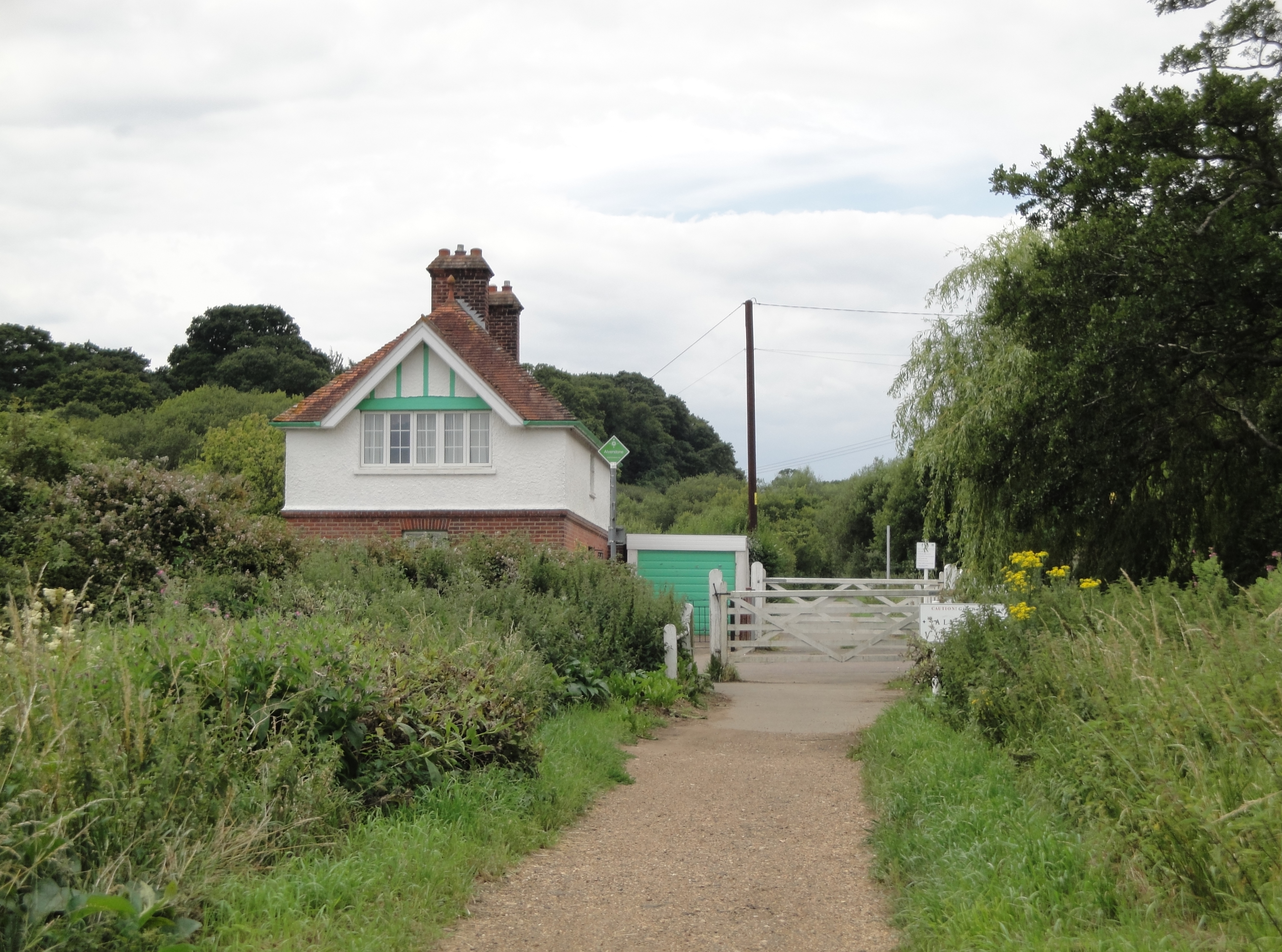
Alverstone railway station
Alverstone railway station, was an intermediate station situated on the edge of Alverstone village on the Isle of Wight, off the south coast of England...
Nearby Amenities
Located within 500m of 50.665259,-1.1914993Have you been to Alverstone Garden Village?
Leave your review of Alverstone Garden Village below (or comments, questions and feedback).