Alverstone
Settlement in Hampshire
England
Alverstone
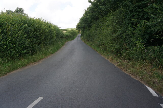
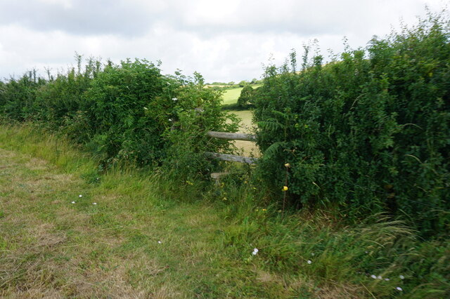
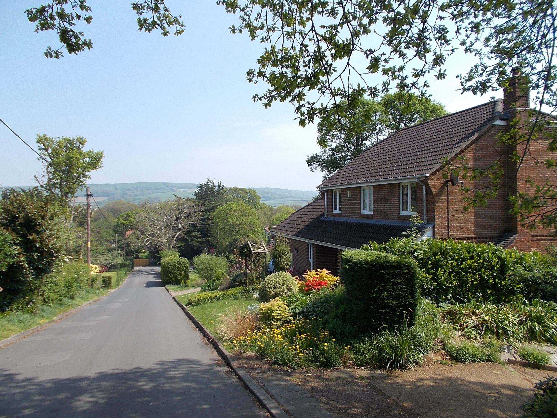
Alverstone is a small village located in the county of Hampshire, England. Situated on the eastern side of the Isle of Wight, it lies within the administrative district of the Isle of Wight Council. The village is nestled within the scenic surroundings of the Eastern Yar Valley, offering picturesque views and a tranquil atmosphere.
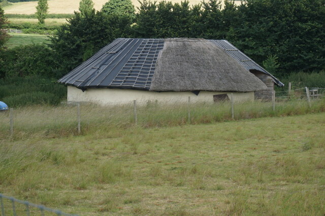
The village of Alverstone has a population of around 300 residents, making it a close-knit and tight community. It is primarily a residential area, with a mix of traditional cottages and modern houses dotting the landscape. The village is known for its charming character and idyllic setting, appealing to those seeking a peaceful and rural lifestyle.
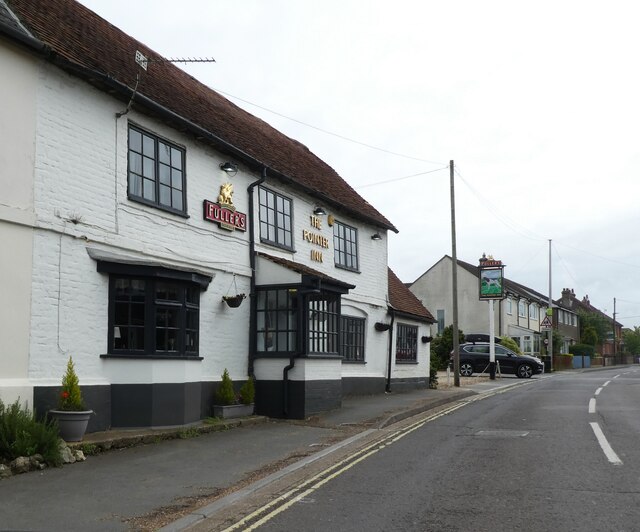
Alverstone is home to some historical landmarks, including the Grade II listed St. Mary's Church, which dates back to the 12th century. The church is renowned for its architectural beauty and serves as a focal point for the community. The village also boasts a local pub, The White Hart, which offers a warm and inviting atmosphere for both residents and visitors alike.
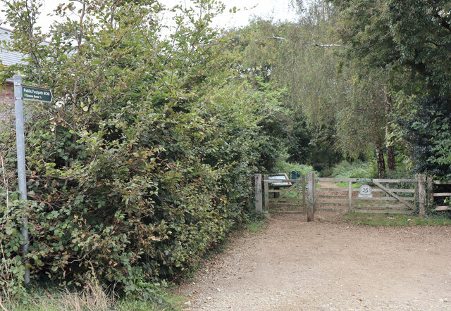
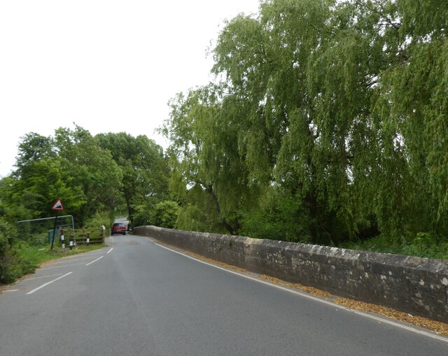
Nature lovers will appreciate Alverstone's proximity to the countryside, with numerous walking and cycling trails available for exploration. The Eastern Yar River flows through the village, providing opportunities for leisurely strolls along its banks. The surrounding countryside offers an abundance of wildlife and is a haven for birdwatchers, with various species of birds often spotted in the area.
Overall, Alverstone is a charming and peaceful village, combining natural beauty, historical significance, and a close-knit community spirit. It offers a serene escape from the hustle and bustle of city life, making it an attractive location for those seeking a slower pace of living.
If you have any feedback on the listing, please let us know in the comments section below.
Alverstone Images
Images are sourced within 2km of 50.66713/-1.18209 or Grid Reference SZ5785. Thanks to Geograph Open Source API. All images are credited.


Alverstone is located at Grid Ref: SZ5785 (Lat: 50.66713, Lng: -1.18209)
Unitary Authority: Isle of Wight
Police Authority: Hampshire
What 3 Words
///remarried.lawn.slogged. Near Newchurch, Isle of Wight
Nearby Locations
Related Wikis
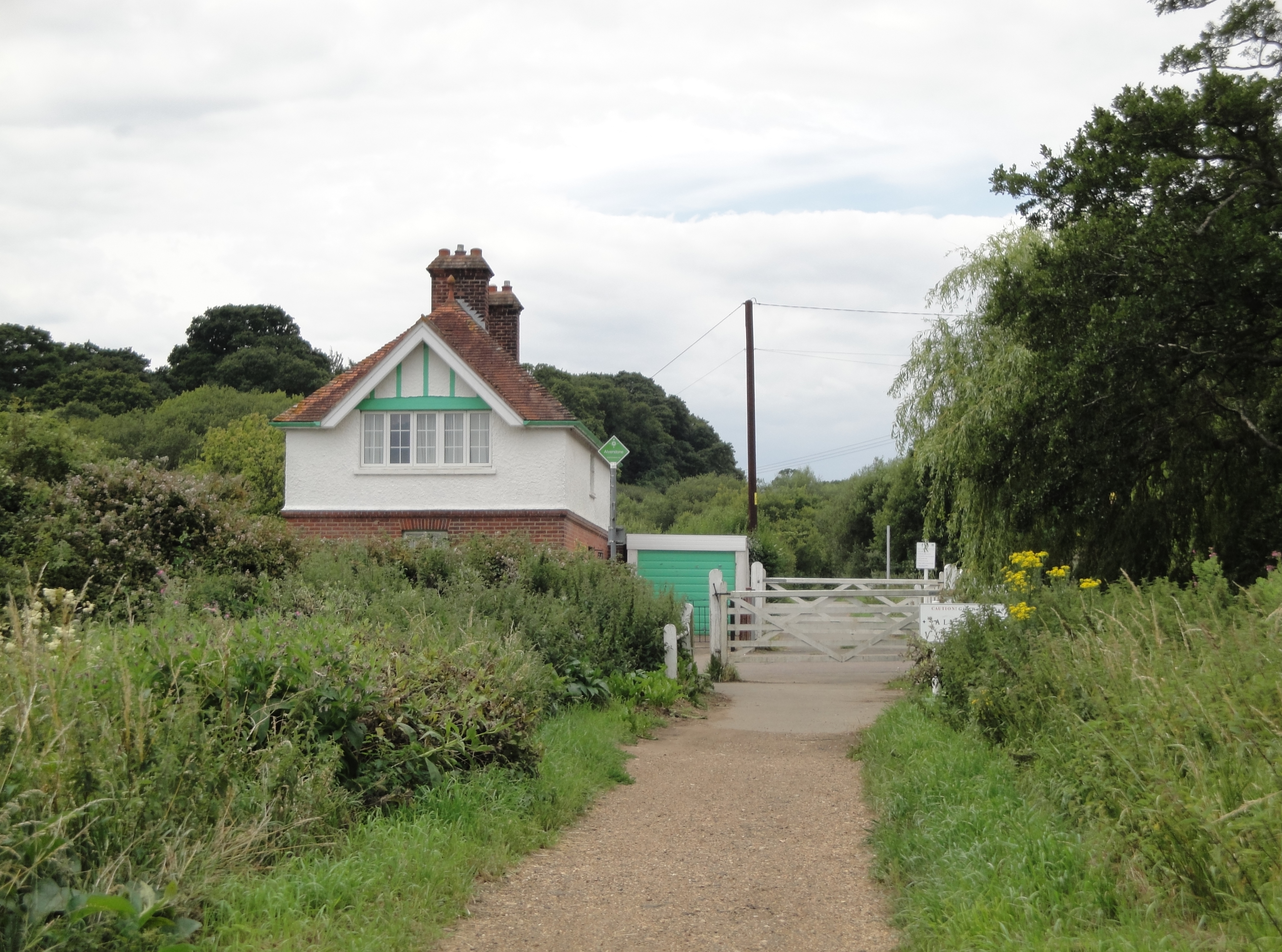
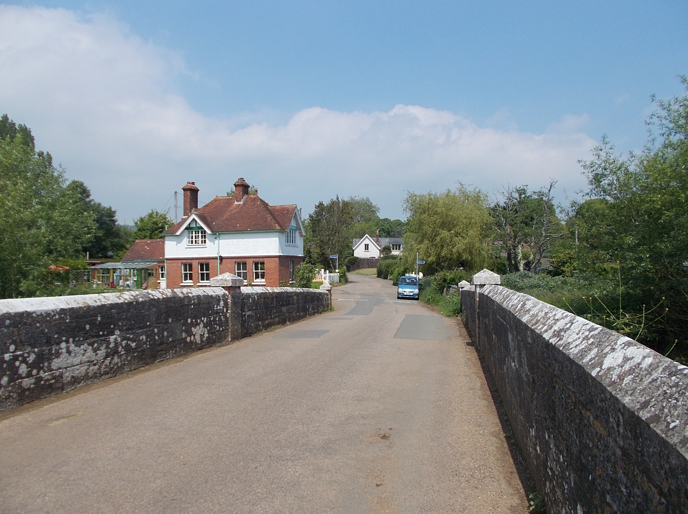
Alverstone railway station
Alverstone railway station, was an intermediate station situated on the edge of Alverstone village on the Isle of Wight, off the south coast of England...
Alverstone
Alverstone is a village 2 miles from the east coast of the Isle of Wight, near Sandown. When Richard Webster became Chief Justice of England in 1900, he...

Alverstone Mead
Alverstone Mead Local Nature Reserve is a lowland freshwater wetland nature reserve close to Sandown, Isle of Wight. it is a part of the Alverstone Marshes...
Alverstone Garden Village
Alverstone Garden Village is a housing estate built between the 1930s and the 1970s; entirely contained within Youngwoods Copse, and thus almost invisible...
Nearby Amenities
Located within 500m of 50.66713,-1.18209Have you been to Alverstone?
Leave your review of Alverstone below (or comments, questions and feedback).