Alverstoke
Settlement in Hampshire Gosport
England
Alverstoke
Alverstoke is a charming village located in the county of Hampshire, England. Situated on the southern coast of the country, it is part of the larger town of Gosport and is known for its idyllic setting and rich history. With a population of around 15,000 residents, Alverstoke offers a peaceful and close-knit community atmosphere.
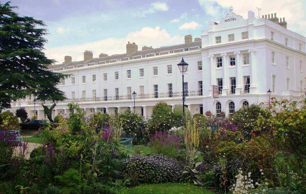
The village is characterized by its picturesque Georgian architecture, with many well-preserved buildings lining the streets. One of the most notable landmarks is the Grade I listed Alverstoke House, a grand mansion built in the 18th century, which now serves as a school. Nearby, the Holy Trinity Church, a beautiful example of Victorian Gothic architecture, is another prominent feature of the village.
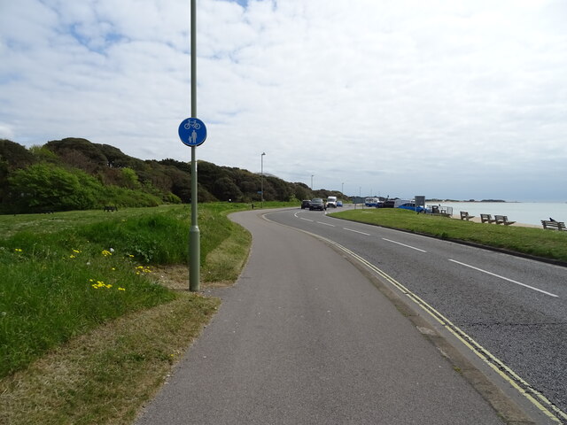
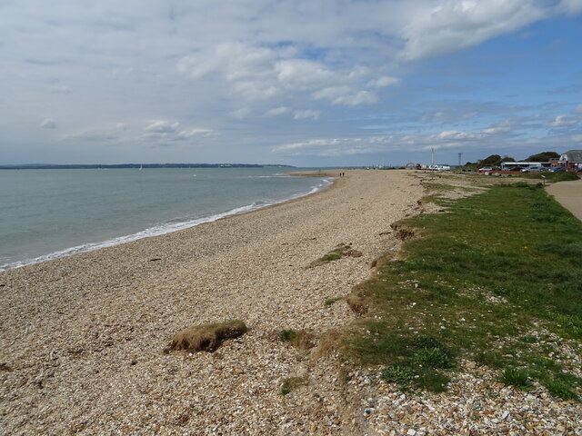
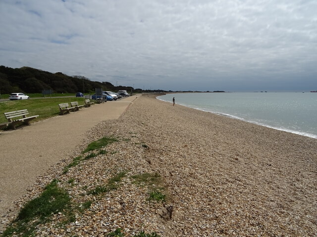
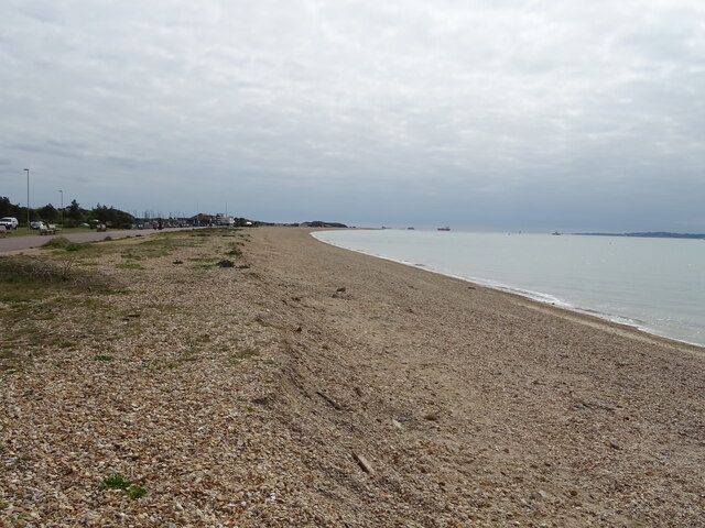
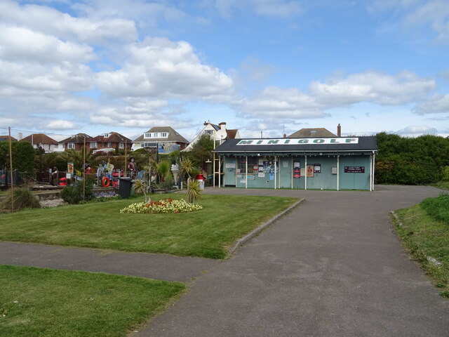
Alverstoke boasts a range of amenities and facilities for its residents. The village center is home to a variety of independent shops, cafes, and restaurants, providing a vibrant local economy. In addition, Alverstoke has several parks and green spaces, including the popular Stokes Bay, which offers stunning views of the Solent and Isle of Wight.
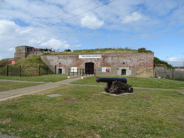
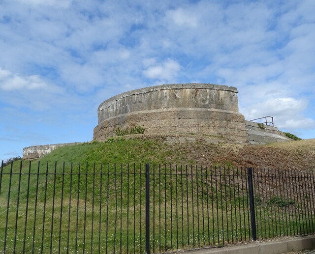
For those interested in history, Alverstoke has a wealth of historical sites and landmarks to explore. The village is closely associated with the Royal Navy, and visitors can discover its maritime heritage at the Royal Navy Submarine Museum and Explosion Museum of Naval Firepower, both located nearby.
With its beautiful surroundings, strong sense of community, and rich history, Alverstoke is a delightful place to visit or call home in Hampshire, England.
If you have any feedback on the listing, please let us know in the comments section below.
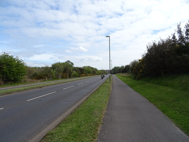
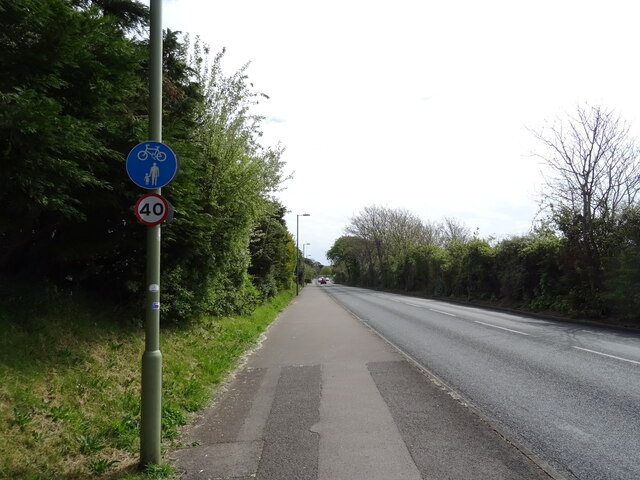
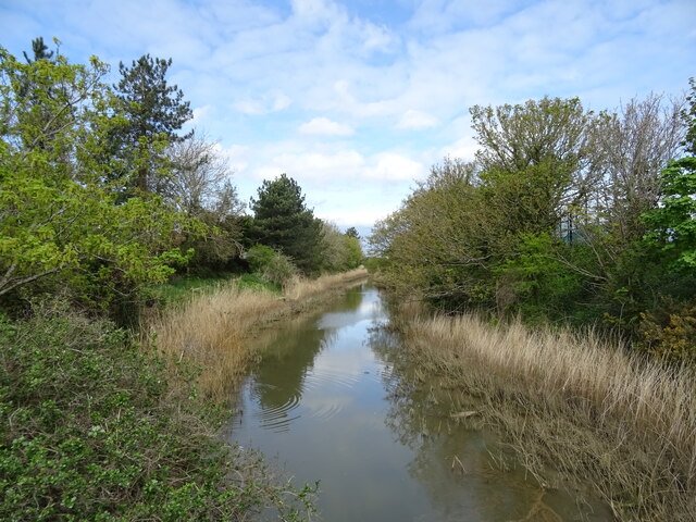
Alverstoke Images
Images are sourced within 2km of 50.788018/-1.147495 or Grid Reference SZ6099. Thanks to Geograph Open Source API. All images are credited.


Alverstoke is located at Grid Ref: SZ6099 (Lat: 50.788018, Lng: -1.147495)
Administrative County: Hampshire
District: Gosport
Police Authority: Hampshire
What 3 Words
///brain.sheet.slime. Near Gosport, Hampshire
Nearby Locations
Related Wikis
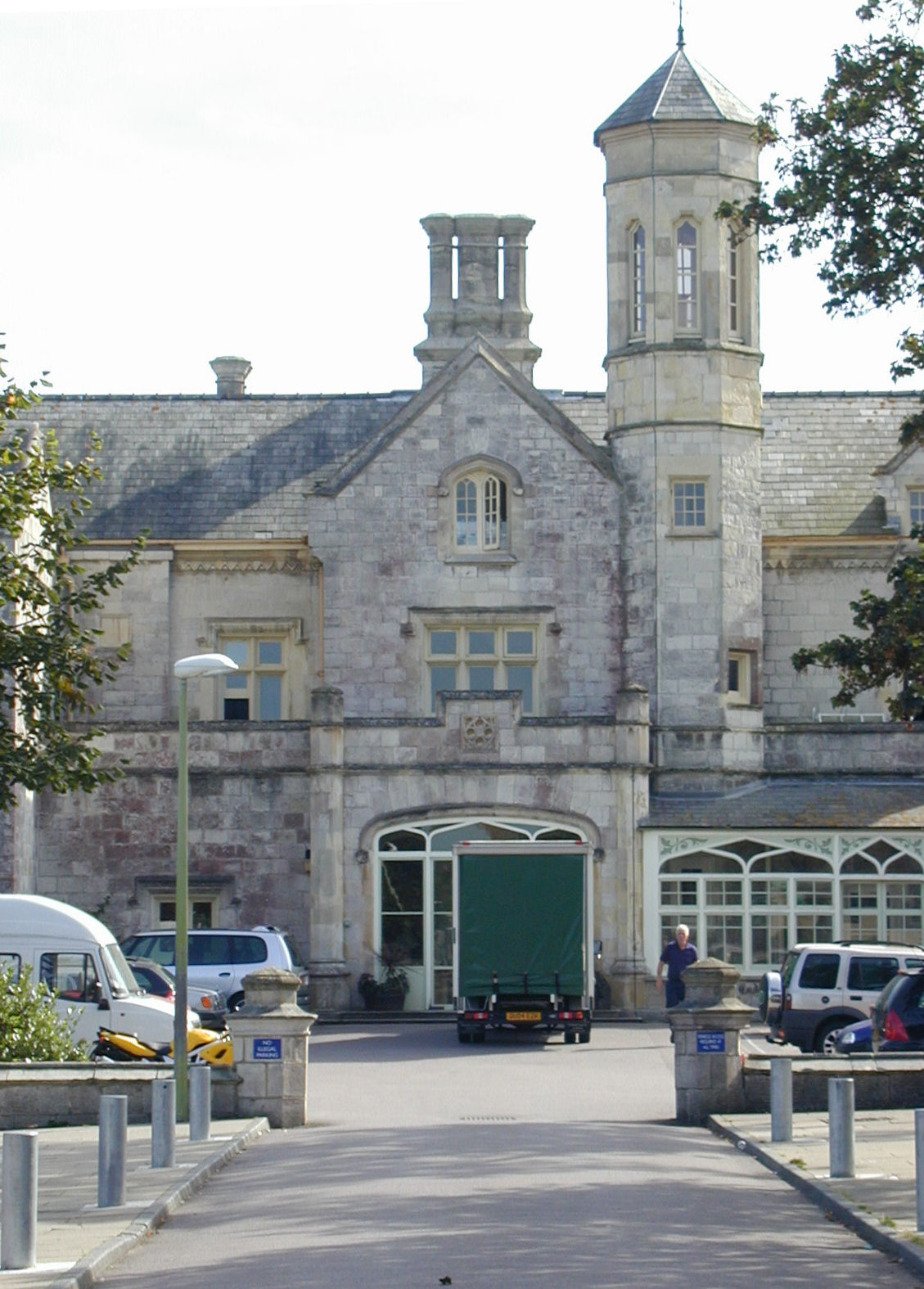
Gosport War Memorial Hospital
Gosport War Memorial Hospital is a hospital in Gosport, Hampshire, England, part of the Southern Health NHS Foundation Trust. == History == === Early... ===

Stokes Bay Lines
The Stokes Bay Lines were part of the great Victorian fortification of Portsmouth Harbour under Lord Palmerston. In 1857 Major Jervois had proposed a complex...

Gosport Road and Alverstoke railway station
Gosport Road and Alverstoke railway station served the town of Gosport, Hampshire, England, from 1865 to 1915 on the Stokes Bay line. == History == The...
Alverstoke
Alverstoke is a village in the borough of Gosport, on the south coast of Hampshire, England. It stretches east–west from Fort Blockhouse, Haslar to Browndown...
Gosport Borough F.C.
Gosport Borough Football Club is a semi-professional football club based in Gosport, Hampshire, England. The club is affiliated to the Hampshire Football...
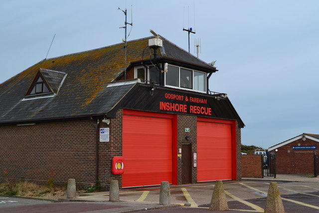
Gosport and Fareham Inshore Rescue Service
Gosport Lifeboat Station is a volunteer-operated independent lifeboat station charity located in the village of Alverstoke on the peninsula of Gosport...
Bay House School
Bay House School is a coeducational secondary school and sixth form located in Gosport, Hampshire, England. == History == === Normal school and grammar... ===

Fort Gomer
Fort Gomer was one of the Palmerston Forts, in Gosport, England, the southernmost and first-built Polygonal fort in the defence line to the west of Gosport...
Nearby Amenities
Located within 500m of 50.788018,-1.147495Have you been to Alverstoke?
Leave your review of Alverstoke below (or comments, questions and feedback).