Alverdiscott
Settlement in Devon Torridge
England
Alverdiscott
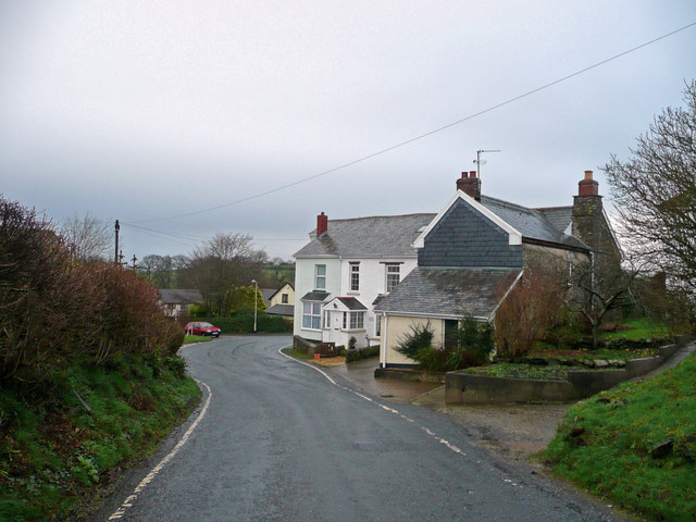
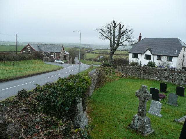
Alverdiscott is a small village situated in the county of Devon, England. It is located approximately 4 miles north of the town of Bideford, and about 3 miles east of the coastal village of Instow. With a population of around 200 residents, it is a tight-knit community that enjoys a peaceful rural setting.
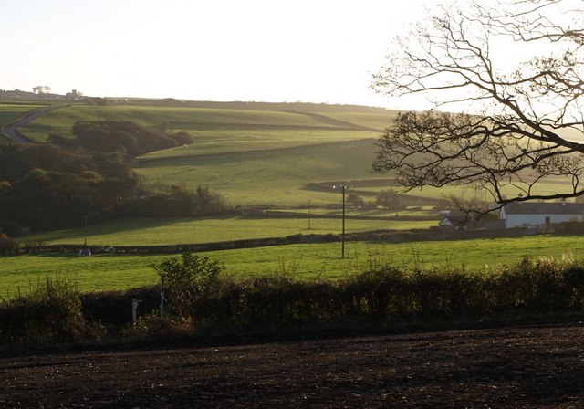
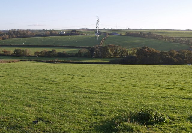
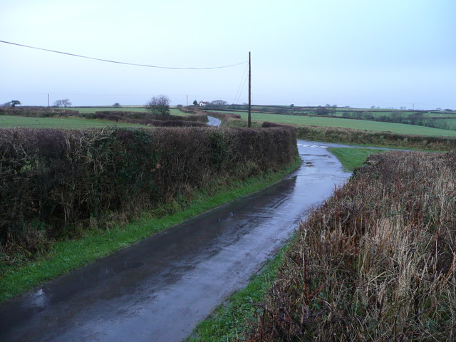
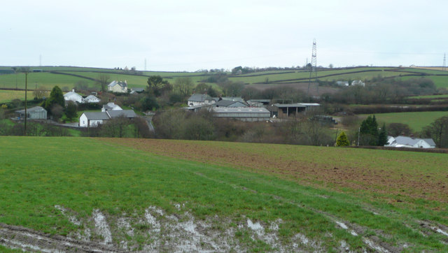
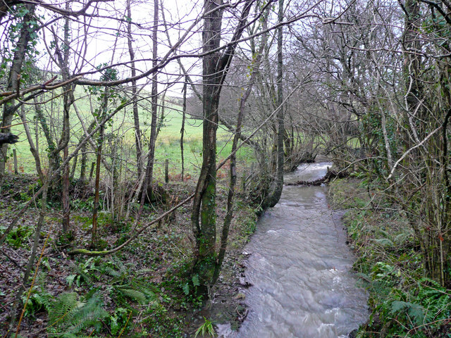
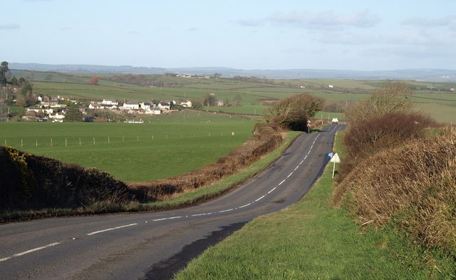
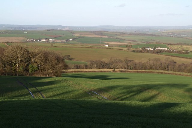
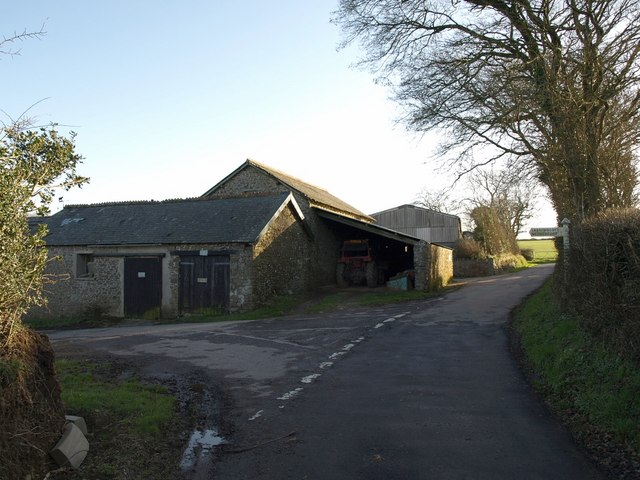
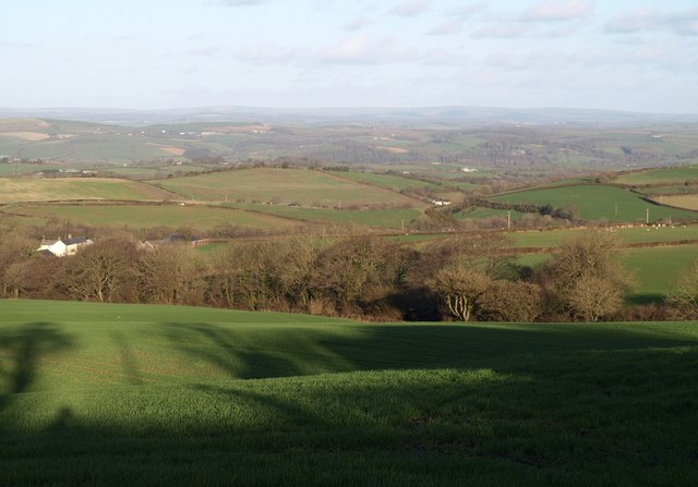
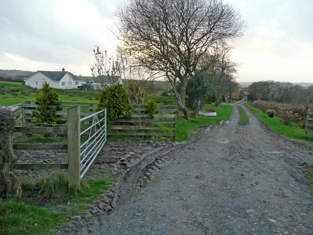
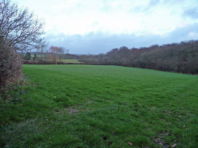
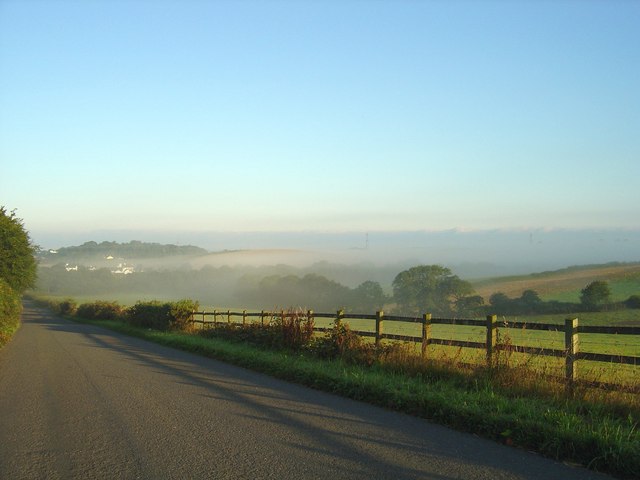
The village is surrounded by picturesque countryside, with rolling hills and farmland dominating the landscape. It benefits from its proximity to the Taw Estuary, offering stunning views and opportunities for outdoor activities such as walking and birdwatching.
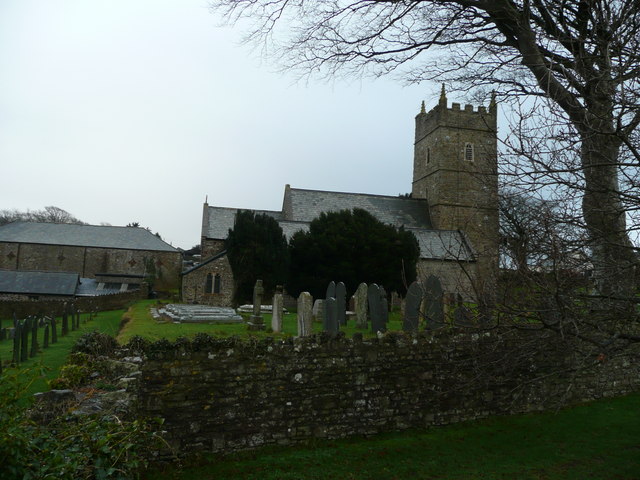
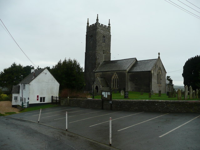
Alverdiscott has a rich history, with evidence of human habitation dating back to the Bronze Age. The village features a number of historic buildings, including St. Petrock's Church, which dates back to the 13th century and is a prominent landmark in the area.
Although small in size, Alverdiscott has a strong sense of community. The village has a local pub, The Bell Inn, which serves as a social hub for residents and visitors alike. There is also a village hall, which hosts various events and activities throughout the year, fostering a sense of togetherness among the villagers.
While Alverdiscott may be a quiet and tranquil place, it benefits from its proximity to larger towns such as Bideford and Barnstaple, which offer a wider range of amenities and services. Overall, Alverdiscott is a charming village that offers a peaceful and close-knit community for its residents, while also providing easy access to the beautiful countryside and nearby towns.
If you have any feedback on the listing, please let us know in the comments section below.
Alverdiscott Images
Images are sourced within 2km of 51.006389/-4.112508 or Grid Reference SS5125. Thanks to Geograph Open Source API. All images are credited.


Alverdiscott is located at Grid Ref: SS5125 (Lat: 51.006389, Lng: -4.112508)
Administrative County: Devon
District: Torridge
Police Authority: Devon and Cornwall
What 3 Words
///widen.snuggle.props. Near Great Torrington, Devon
Nearby Locations
Related Wikis

Alverdiscott
Alverdiscott (pronounced Alscott, or ) is a village, civil parish, former manor and former ecclesiastical parish in the Torridge district of Devon, England...

Webbery, Alverdiscott
Webbery (anciently Wibbery) is an historic manor in the parish of Alverdiscott in North Devon, England. == History == === Nicholas the Bowman === The manor...

Newton Tracey
Newton Tracey is a village and former civil parish, now in the parish of Horwood, Lovacott and Newton Tracey, in the North Devon district of Devon, England...

Horwood, Lovacott and Newton Tracey
Horwood, Lovacott and Newton Tracey is a civil parish in North Devon district, Devon, England. In the 2011 census it was recorded as having a population...
Huntshaw
Huntshaw is a village and civil parish located 2.5 north north east of Great Torrington, in the Torridge district, in the county of Devon, England. In...
Horwood, Devon
Horwood is a village and former civil parish, now in the parish of Horwood, Lovacott and Newton Tracey, in the North Devon district, in the county of Devon...

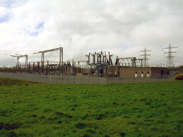
Huntshaw Cross transmitting station
Huntshaw Cross transmitting station is a telecommunications facility serving North Devon including the towns of Barnstaple and South Molton. It broadcasts...

Belle Vue Airfield
Belle Vue Airfield (often classed as airport or heliport) is a single runway airfield about 2.5 miles (4.0 km) north east of Great Torrington in North...
Nearby Amenities
Located within 500m of 51.006389,-4.112508Have you been to Alverdiscott?
Leave your review of Alverdiscott below (or comments, questions and feedback).