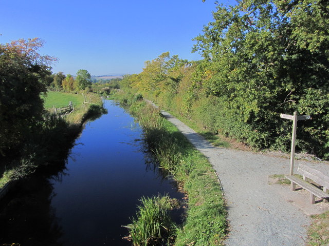
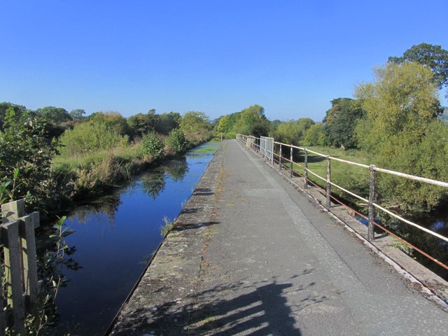
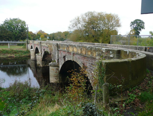
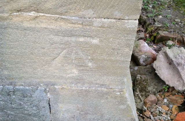
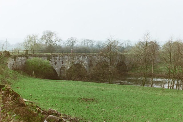
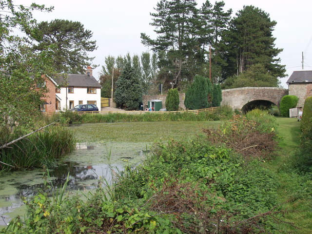
Bridge, New

Settlement in Montgomeryshire

Wales

Bridge, New

Shropshire Union Canal (Montgomery Branch) at Pont-y-Person near Four Crosses
Shropshire Union Canal (Montgomery Branch) at Pont-y-Person near Four Crosses Credit: Colin Park

The requested URL returned error: 429 Too Many Requests

If you have any feedback on the listing, please let us know in the comments section below.
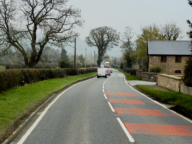
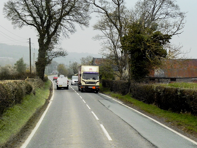
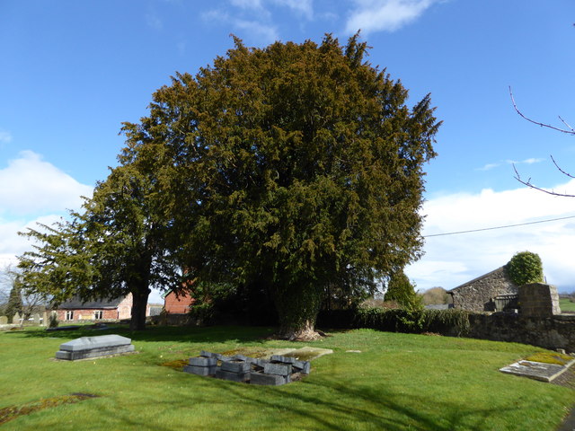
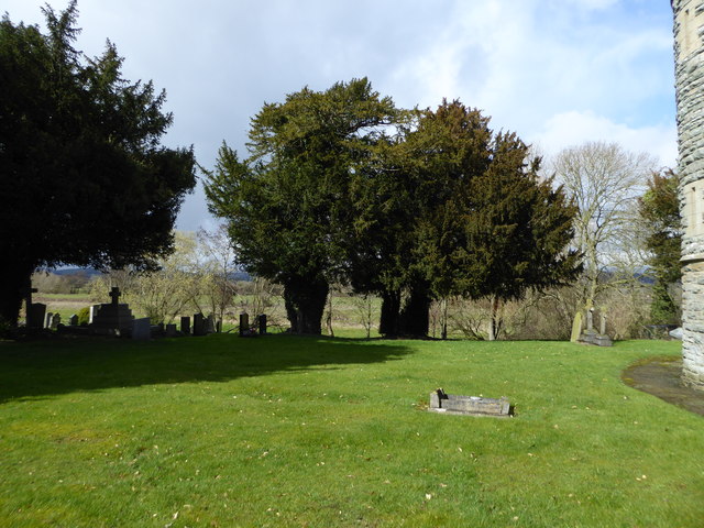
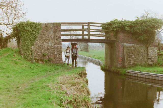
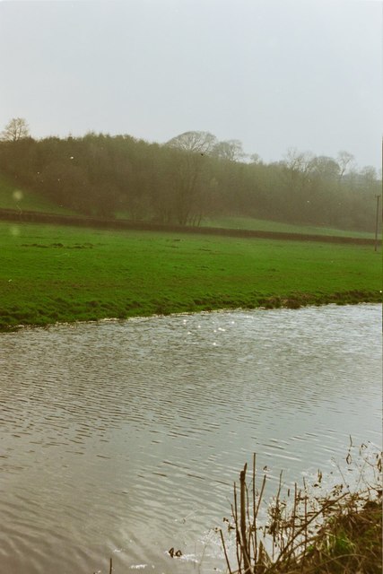
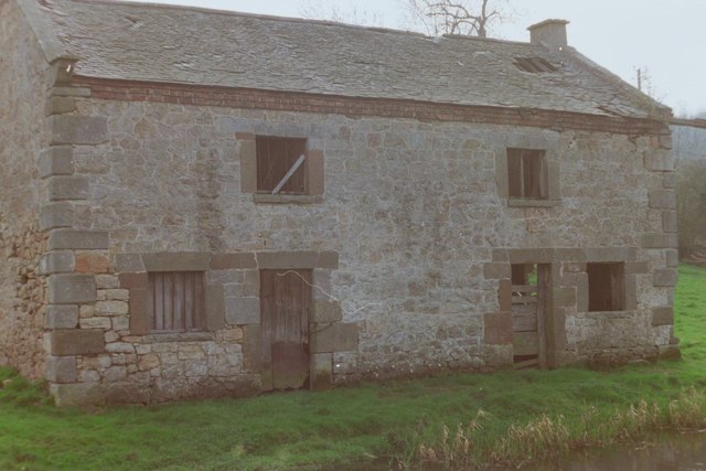
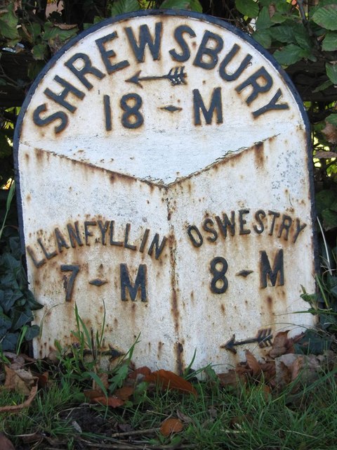
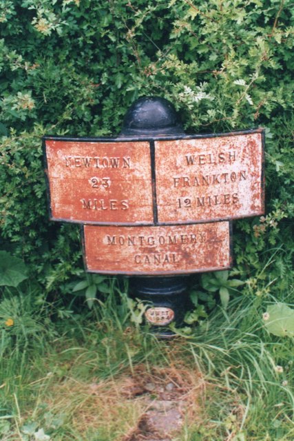
Bridge, New Images

Images are sourced within 2km of 52.771026/-3.109443 or Grid Reference SJ2519. Thanks to Geograph Open Source API. All images are credited.

Shropshire Union Canal (Montgomery Branch) at Pont-y-Person near Four Crosses
Shropshire Union Canal (Montgomery Branch) at the Vyrnwy Aqueduct
New Bridge over the River Vyrnwy This carries the B4398, which goes to the A483 at Llanymynech.
New Bridge over the River Vyrnwy
This carries the B4398, which goes to the A483 at Llanymynech.
Ordnance Survey Cut Mark This OS cut mark can be found on the south face of St Tysilio's Church. It marks a point 70.9570m above mean sea level.
Ordnance Survey Cut Mark
This OS cut mark can be found on the south face of St Tysilio's Church. It marks a point 70.9570m above mean sea level.
A483 at Llandysilio The A483 is a major north-south trunk road in Wales, running for 149 miles between Chester and Junction 42 of the M4 motorway just east of Swansea.
<span class="nowrap"><a title="http://www.sabre-roads.org.uk/wiki/index.php?title=A483" rel="nofollow ugc noopener" href="http://www.sabre-roads.org.uk/wiki/index.php?title=A483">Link</a><img style="margin-left:2px;" alt="External link" title="External link - shift click to open in new window" src="https://s1.geograph.org.uk/img/external.png" width="10" height="10"/></span>  SABRE
<span class="nowrap"><a title="https://en.wikipedia.org/wiki/A483_road" rel="nofollow ugc noopener" href="https://en.wikipedia.org/wiki/A483_road">Link</a><img style="margin-left:2px;" alt="External link" title="External link - shift click to open in new window" src="https://s1.geograph.org.uk/img/external.png" width="10" height="10"/></span>  Wikipedia
A483 at Llandysilio
The A483 is a major north-south trunk road in Wales, running for 149 miles between Chester and Junction 42 of the M4 motorway just east of Swansea. LinkExternal link SABRE LinkExternal link Wikipedia
The Street (A483) at Rhandregynwen The A483 is a major north-south trunk road in Wales, running for 149 miles between Chester and Junction 42 of the M4 motorway just east of Swansea.
<span class="nowrap"><a title="http://www.sabre-roads.org.uk/wiki/index.php?title=A483" rel="nofollow ugc noopener" href="http://www.sabre-roads.org.uk/wiki/index.php?title=A483">Link</a><img style="margin-left:2px;" alt="External link" title="External link - shift click to open in new window" src="https://s1.geograph.org.uk/img/external.png" width="10" height="10"/></span>  SABRE
<span class="nowrap"><a title="https://en.wikipedia.org/wiki/A483_road" rel="nofollow ugc noopener" href="https://en.wikipedia.org/wiki/A483_road">Link</a><img style="margin-left:2px;" alt="External link" title="External link - shift click to open in new window" src="https://s1.geograph.org.uk/img/external.png" width="10" height="10"/></span>  Wikipedia
The Street (A483) at Rhandregynwen
The A483 is a major north-south trunk road in Wales, running for 149 miles between Chester and Junction 42 of the M4 motorway just east of Swansea. LinkExternal link SABRE LinkExternal link Wikipedia
Large yew in Llandysilio churchyard
Old yew trees, Llandysilio
Pont-y-Person Bridge, 1988
Montgomery Canal near Pentreheylin Hall, 1988
The Old Salt Warehouse, Pentreheylin, 1988 A look at Google Street View in 2018 shows that the building has since been restored into a private house. Not only was the building made habitable again, but the crane at the right-hand side of the building was also restored.
The Old Salt Warehouse, Pentreheylin, 1988
A look at Google Street View in 2018 shows that the building has since been restored into a private house. Not only was the building made habitable again, but the crane at the right-hand side of the building was also restored.
Vyrnwy Aqueduct, 1988
Montgomery Canal, Four Crosses The canal still awaits restoration on this stretch south of Llanymynech. However, considerable effort has been put into improving the towpath.
Montgomery Canal, Four Crosses
The canal still awaits restoration on this stretch south of Llanymynech. However, considerable effort has been put into improving the towpath.
Montgomery Canal, Four Crosses Looking down from bridge 100 where the canal is currently unnavigable awaiting restoration. There is a winding hole (turning point) here but obviously there are no boats to use it. The sign advertises improvements to the towpath.
Montgomery Canal, Four Crosses
Looking down from bridge 100 where the canal is currently unnavigable awaiting restoration. There is a winding hole (turning point) here but obviously there are no boats to use it. The sign advertises improvements to the towpath.
Canal Cottages, Four Crosses The cottages are aptly named being on Canal Road close to the bridge over the Montgomery Canal. Traffic over the bridge is controlled by lights, hence the narrowness of the B4393 at this point.
Canal Cottages, Four Crosses
The cottages are aptly named being on Canal Road close to the bridge over the Montgomery Canal. Traffic over the bridge is controlled by lights, hence the narrowness of the B4393 at this point.
Old Milepost by the B4393, Waen Turner Arrow Casting by the B4393, in parish of Llansantffraidd-ym-Mechain (Powys District), Waen, by bungalow "Wind Chimes", on verge.

Inscription reads:-
: LLANFYLLIN / 7 - M / {arrow} : : SHREWSBURY / {arrow} / 18 - M : : OSWESTRY / 8 - M / {arrow} :

Grade II listed by Cadw. Reference Number: 82555
<span class="nowrap"><a title="https://cadwpublic-api.azurewebsites.net/reports/listedbuilding/FullReport?lang=&id=82555" rel="nofollow ugc noopener" href="https://cadwpublic-api.azurewebsites.net/reports/listedbuilding/FullReport?lang=&id=82555">Link</a><img style="margin-left:2px;" alt="External link" title="External link - shift click to open in new window" src="https://s1.geograph.org.uk/img/external.png" width="10" height="10"/></span>

Surveyed

Milestone Society National ID: MOT_LFOW07.
Old Milepost by the B4393, Waen
Turner Arrow Casting by the B4393, in parish of Llansantffraidd-ym-Mechain (Powys District), Waen, by bungalow "Wind Chimes", on verge. Inscription reads:- : LLANFYLLIN / 7 - M / {arrow} : : SHREWSBURY / {arrow} / 18 - M : : OSWESTRY / 8 - M / {arrow} : Grade II listed by Cadw. Reference Number: 82555 LinkExternal link Surveyed Milestone Society National ID: MOT_LFOW07.
Old Milestone by the former A483, The Street, Llandysilio Parish Pool Gable by the A483, in parish of Llandysilio (Powys District), South of Parsons Lane, between footpath and hedge, West side of road.

Inscription reads:- : MileS / PooL 8 / {arrow} / OSWeSTry 7 / {arrow} :

Surveyed

Milestone Society National ID: MOT_WPOW08
Old Milestone by the former A483, The Street, Llandysilio Parish
Pool Gable by the A483, in parish of Llandysilio (Powys District), South of Parsons Lane, between footpath and hedge, West side of road. Inscription reads:- : MileS / PooL 8 / {arrow} / OSWeSTry 7 / {arrow} : Surveyed Milestone Society National ID: MOT_WPOW08
Canal milemarker by the Montgomery Canal, Vyrnwy Viaduct Replica Milemarker by the Montgomery Canal, in parish of Carreghofa (Powys District), near the  Vyrnwy Aqueduct.

Inscription reads:
: NEWTOWN / 23 / MILES : : MONTGOMERY / CANAL : : WELSH / FRANKTON / 12 MILES :
Sponsor:-
: MWRT / 1984 :
(Montgomery Waterway Restoration Trust)

Milestone Society National ID: MGY-12R
Canal milemarker by the Montgomery Canal, Vyrnwy Viaduct
Replica Milemarker by the Montgomery Canal, in parish of Carreghofa (Powys District), near the Vyrnwy Aqueduct. Inscription reads: : NEWTOWN / 23 / MILES : : MONTGOMERY / CANAL : : WELSH / FRANKTON / 12 MILES : Sponsor:- : MWRT / 1984 : (Montgomery Waterway Restoration Trust) Milestone Society National ID: MGY-12R
Show me another place!

Bridge, New is located at Grid Ref: SJ2519 (Lat: 52.771026, Lng: -3.109443)

Unitary Authority: Powys

Police Authority: Dyfed Powys

What 3 Words

///spicy.lands.tidal. Near Four Crosses, Powys

Related Wikis

Carreghofa

Carreghofa (Welsh: Carreghwfa) is a community in Montgomeryshire, Powys, Wales, and is 89.6 miles (144.2 km) from Cardiff and 153.6 miles (247.2 km) from...

Carreghofa Halt railway station

Carreghofa Halt railway station is a disused station in Carreghofa, Powys, Wales. The station opened in 1938 and closed in 1965. == References == ��2...

Afon Tanat

Afon Tanat is a river in northern Powys, Wales. Its source is close to the Cyrniau Nod mountain, to the north of Lake Vyrnwy. The river flows in a generally...

Llandysilio

Llandysilio is a small village and community in Montgomeryshire, Powys, Wales. Its population at the 2001 Census was 962, increasing to 1,122 at the 2011...

Nearby Amenities

Located within 500m of 52.771026,-3.109443
Carreghofa Bottom Lock
Height: 2.44
Seamark Type: gate
Waterway: lock_gate
Lat/Long: 52.7744101/-3.1077217
Carreghofa Bottom Lock
Height: 2.44
Seamark Type: gate
Waterway: lock_gate
Lat/Long: 52.7745899/-3.1074486
Carreghofa Top Lock
Height: 2.44
Seamark Type: gate
Waterway: lock_gate
Lat/Long: 52.77491/-3.106585
Barrier: stile
Lat/Long: 52.7722231/-3.1028684
Barrier: stile
Lat/Long: 52.7713202/-3.1045296
Place: farm
Lat/Long: 52.7750732/-3.1115658
Place: farm
Lat/Long: 52.7736583/-3.1038196
Carreghofa Top Lock
Height: 2.44
Seamark Type: gate
Waterway: lock_gate
Lat/Long: 52.7748014/-3.1069302
The data included in this document is from www.openstreetmap.org. The data is made available under ODbL.

Have you been to Bridge, New?

Leave your review of Bridge, New below (or comments, questions and feedback).